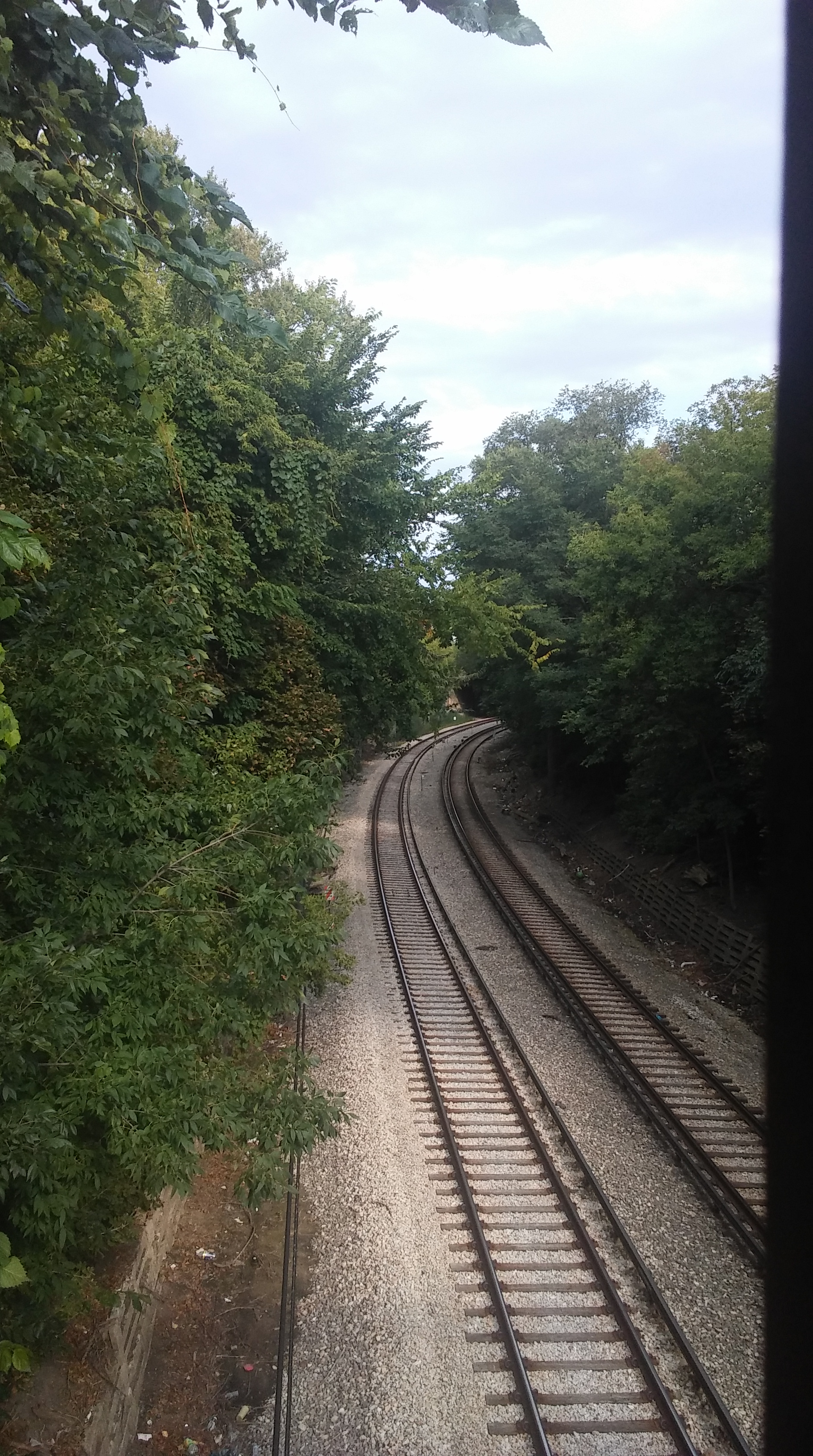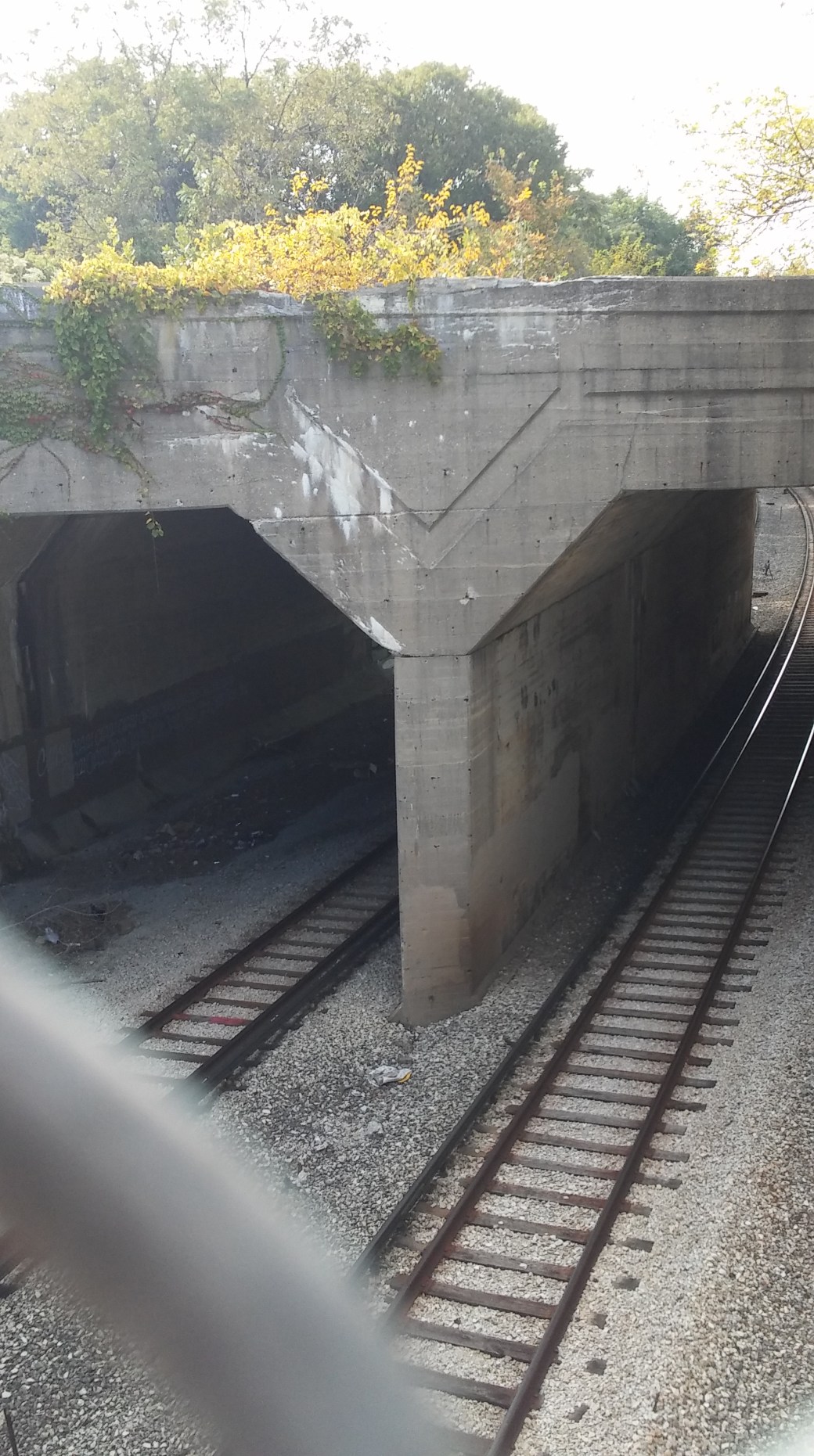
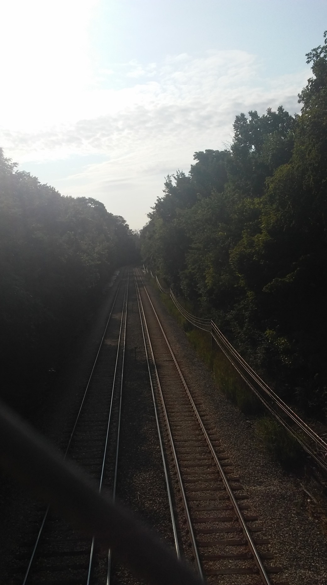
Skokie Yellow Line Tunnel

Same as above
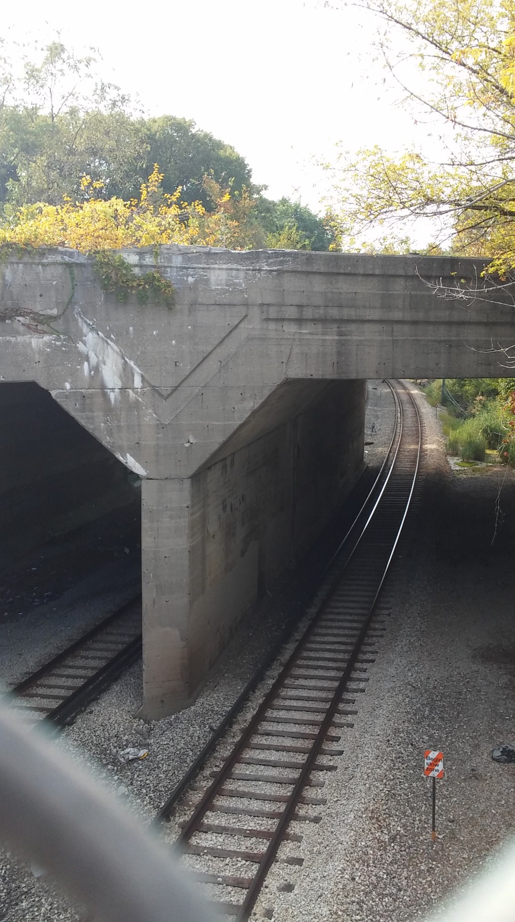
Yellow Line Tunnel
The Chicago, North Shore and Milwaukee Railroad began in 1895 as the Bluff City Electric RR (Street car line in Waukegan). With growth and expansion, the name was changed to Chicago, Milwaukee Railroad. Its main line traveled through the North Shore suburbs on its way to Milwaukee. Southern terminus was at Church Street in Evanston. Eventually, access was obtained on the Red Line to down town Chicago.
A branch line was constructed to Mundelein. In 1924, construction was begun on the Skokie Valley by-pass. This was constructed to avoid the congestion of the main line. The new line started at Howard Street. It went west to Niles Center From here it extended north and west into a marshy area paralleling the Skokie Branch of the the Chicago and North Western R. R. At Upton, the new route turned east at the Mundelein Branch until it reached west of Lake Bluff. A new connection diverged north onto a freight only branch. It eventually connected to the main line at the North Shore Junction.
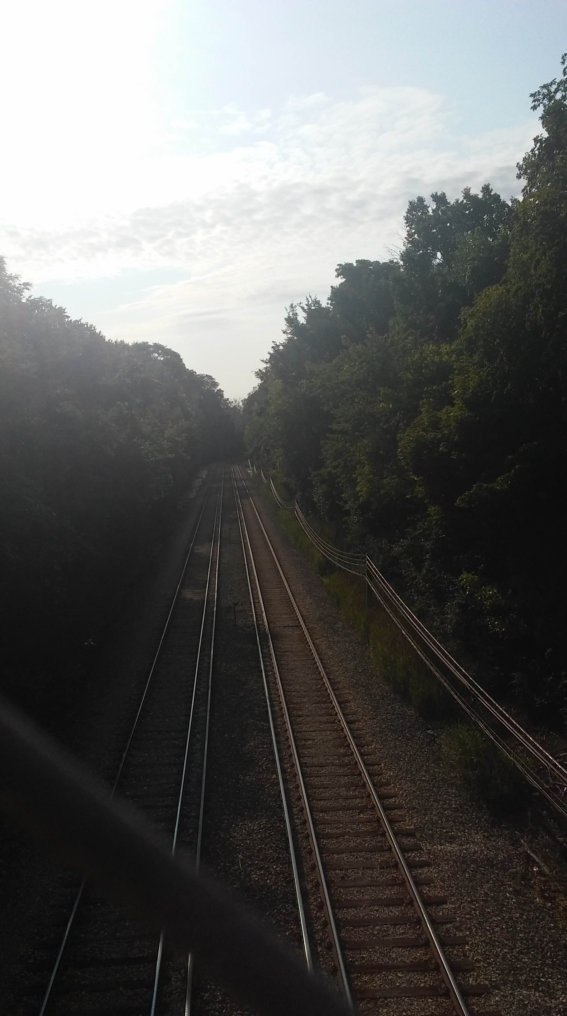
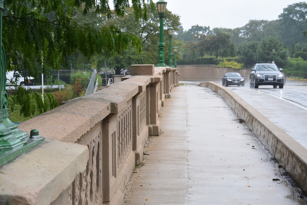
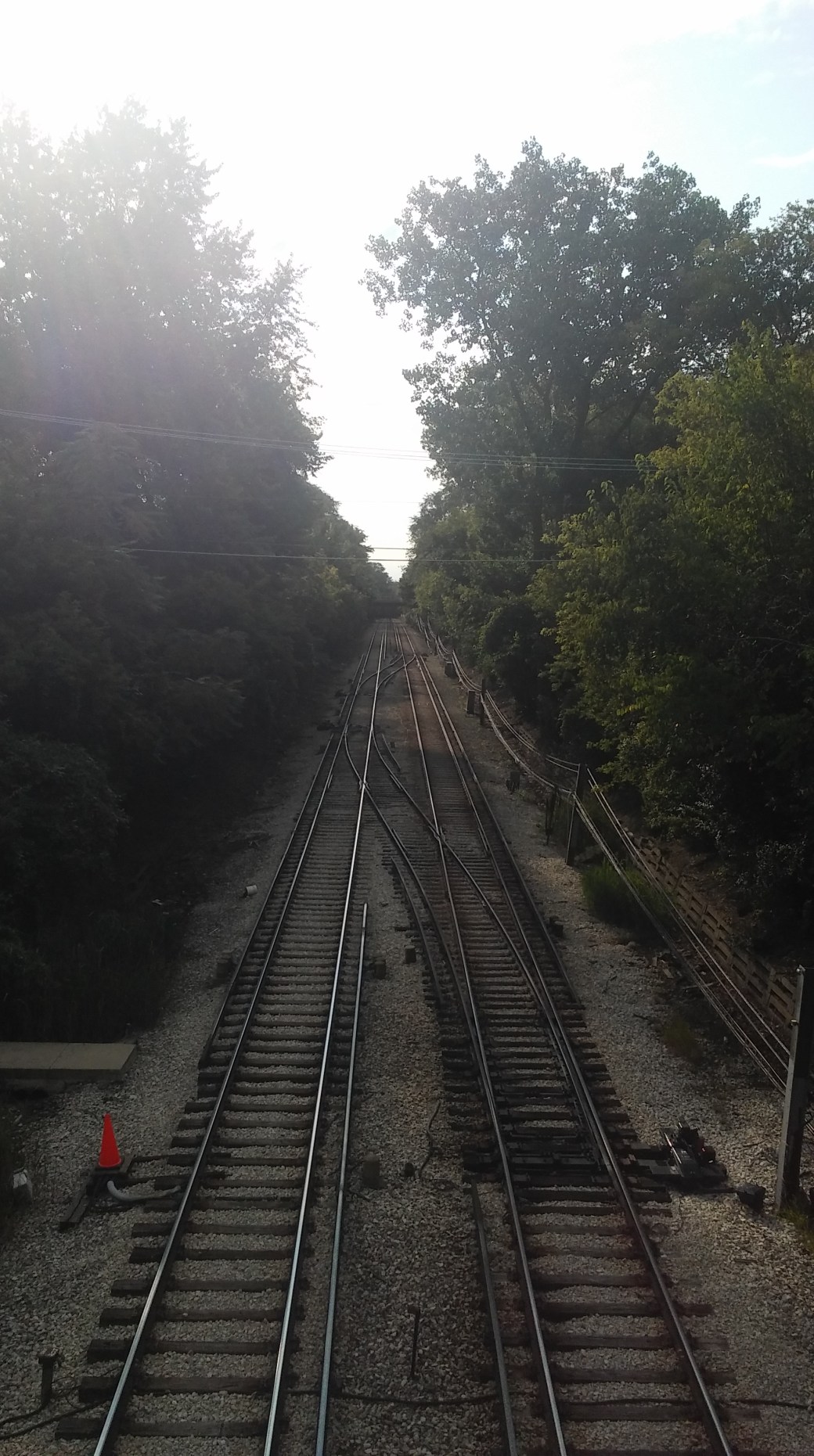
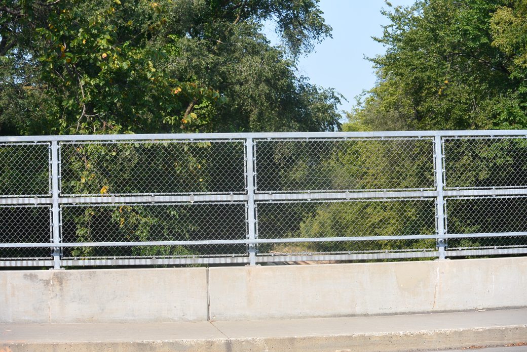
View from Ridge Avenue Bridge
Stops on this new bypass included: Howard, Asbury, Dodge Avenue, Crawford, Dempster, Harmswood, Glenayre, Wa-Bun, North brook, Woodridge, Briergale, Highmoor, Sheridan Elms, Deerpath, Lake Bluff, Great Lakes, North Chicago.
Same as above
Same as above
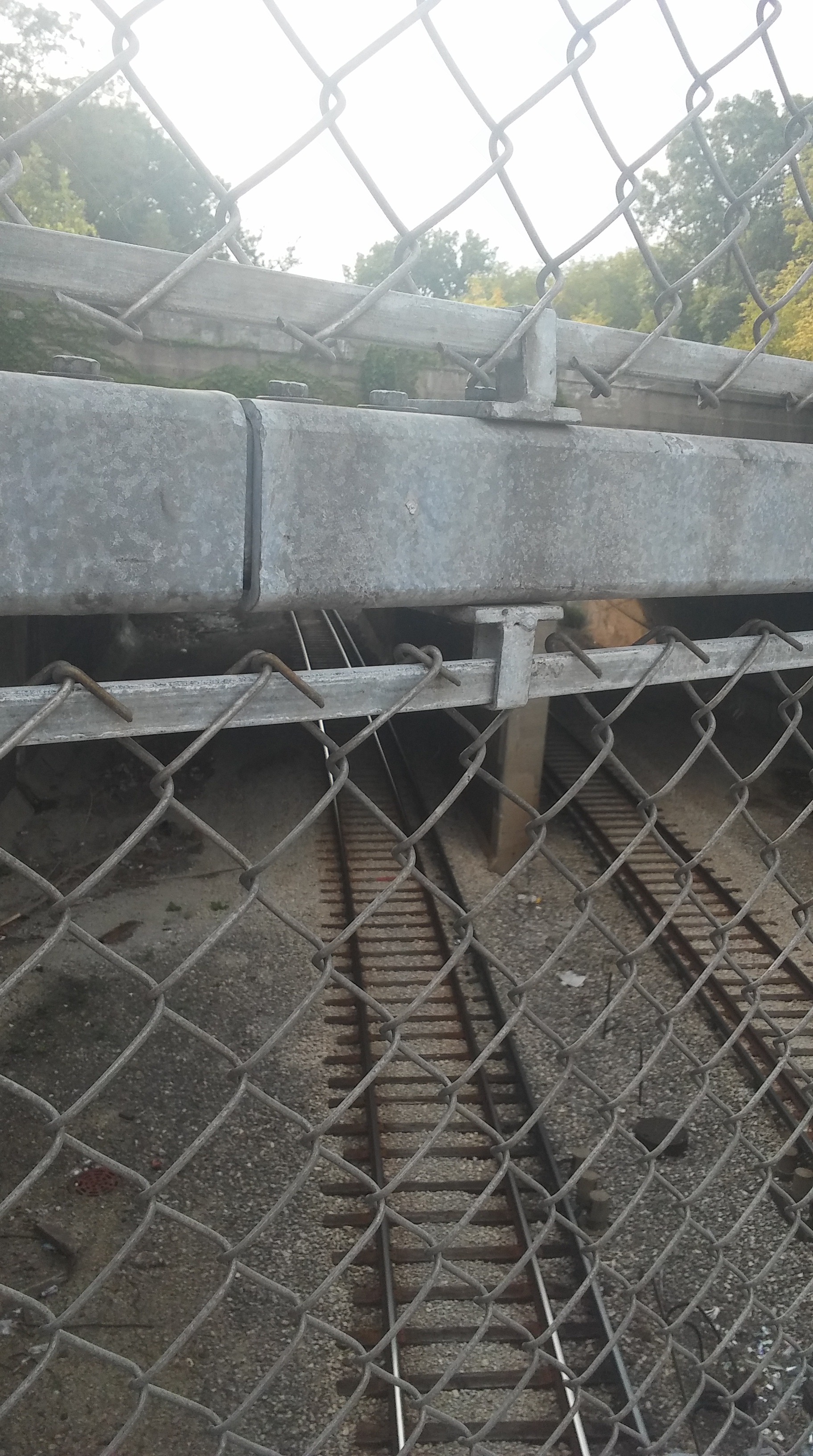
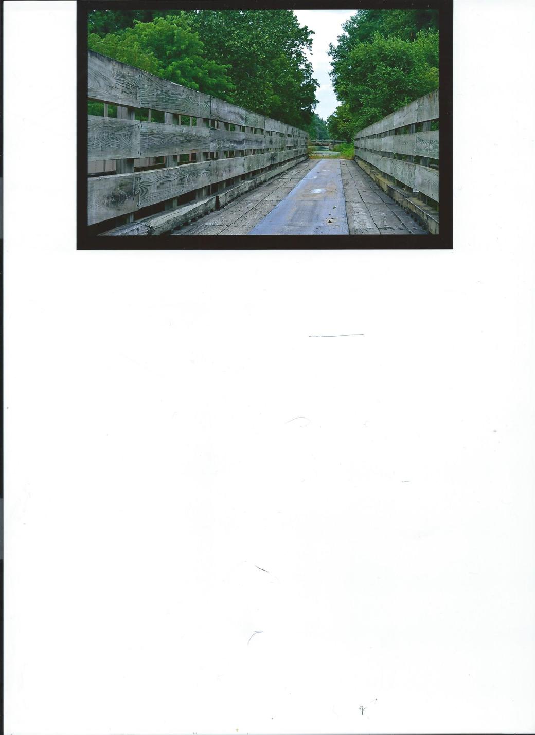
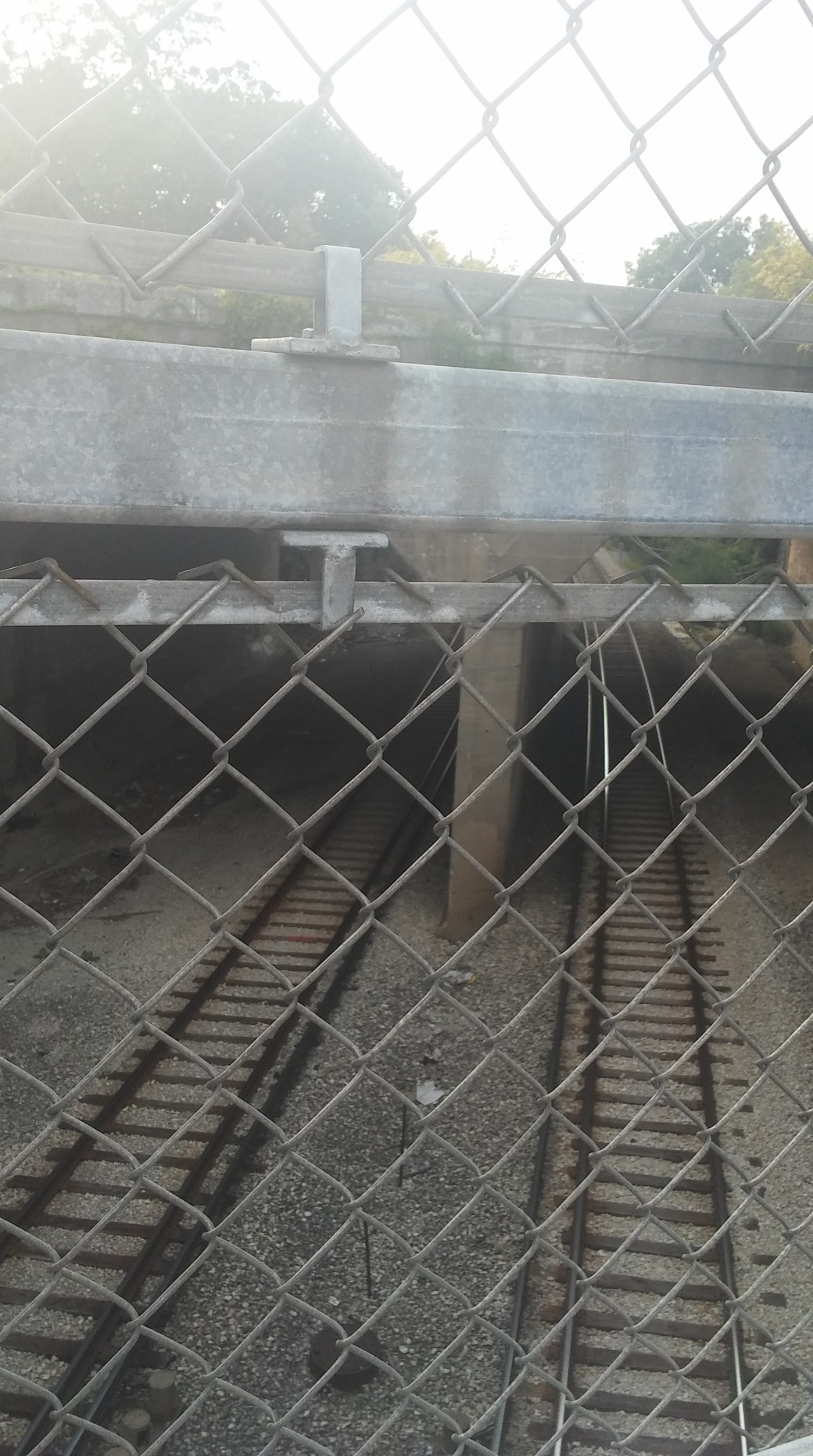
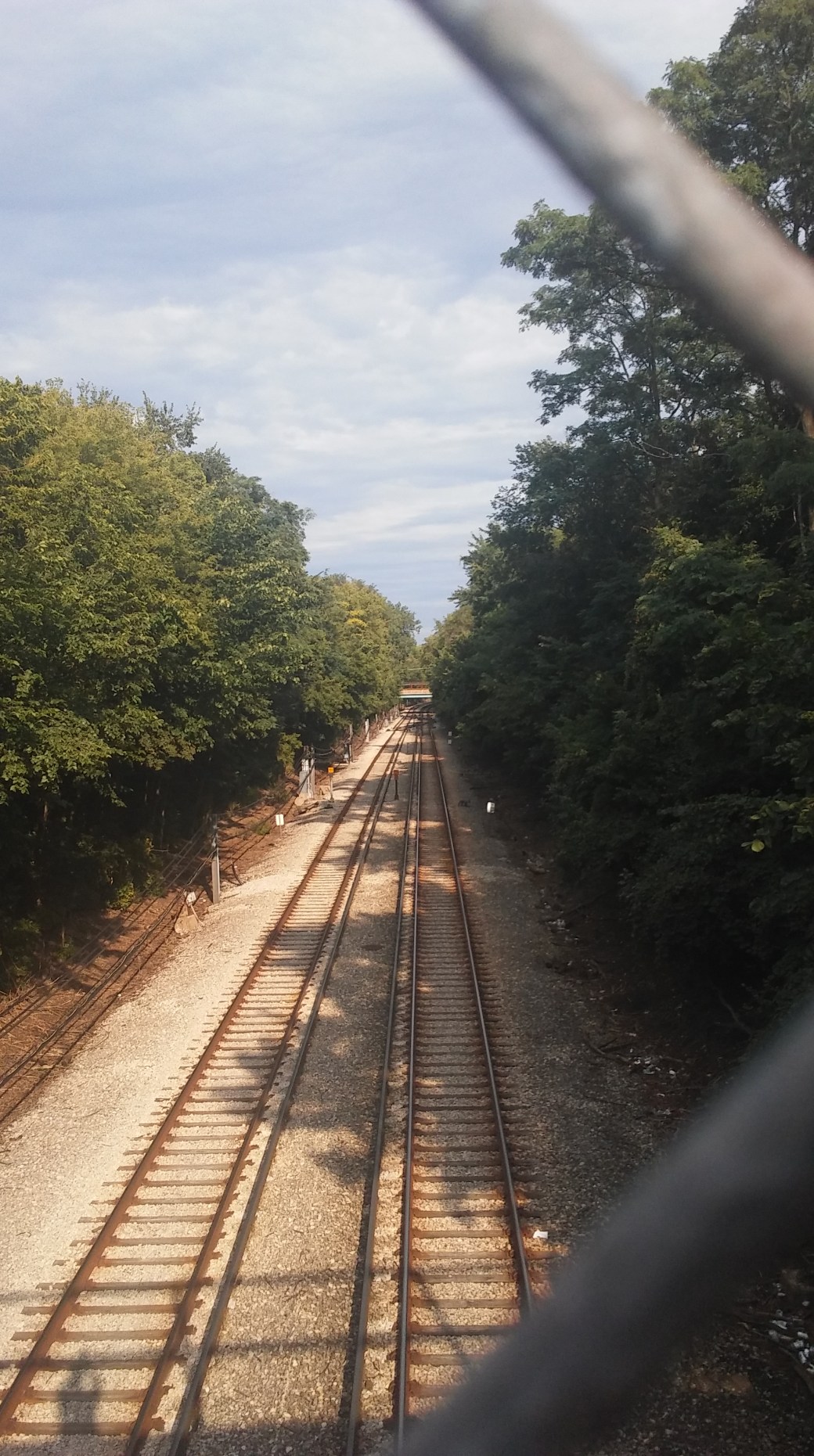
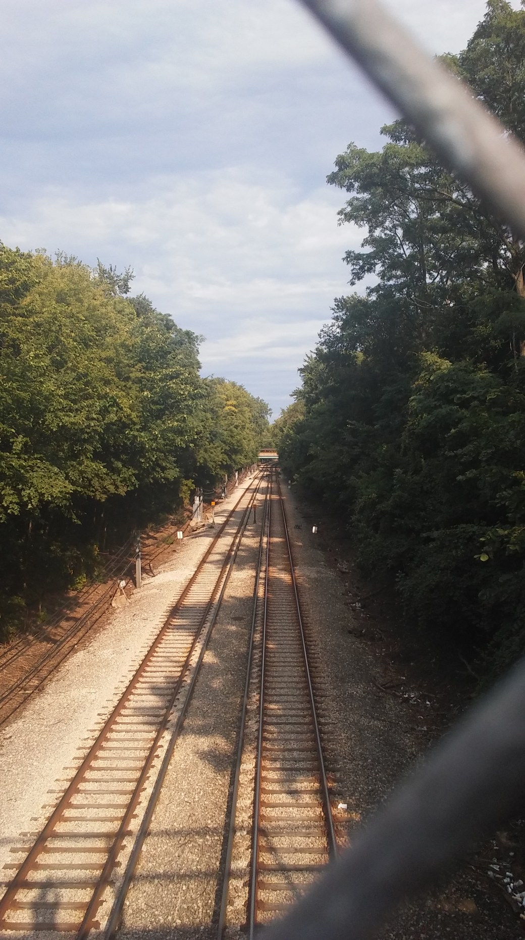
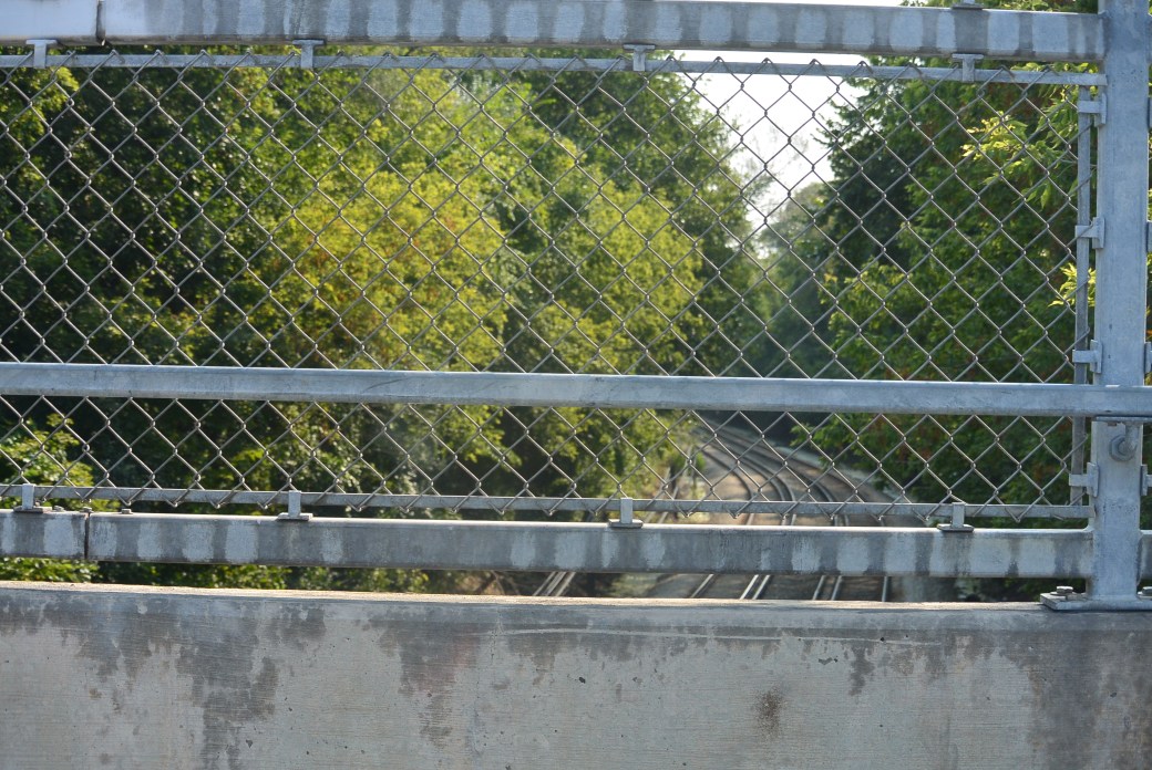
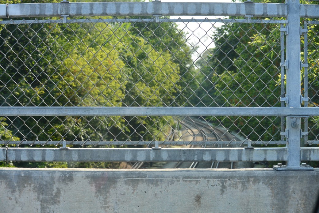
First Bridge West of Tunnel
Same as above

Same as above

Same as above
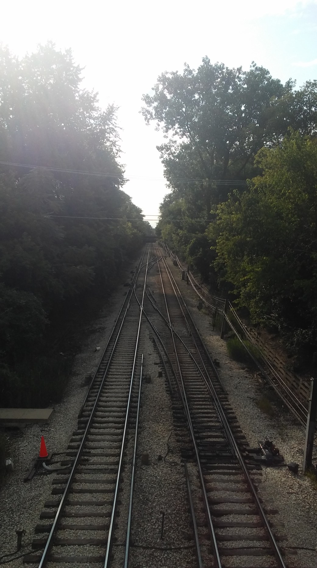
Evanston Skokie Swift Ashbury Street
Same as above
Skokie Swift Ashbury Street
Same as above
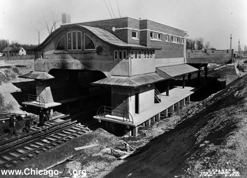
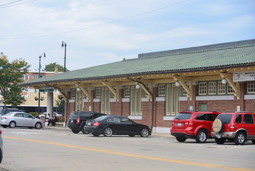
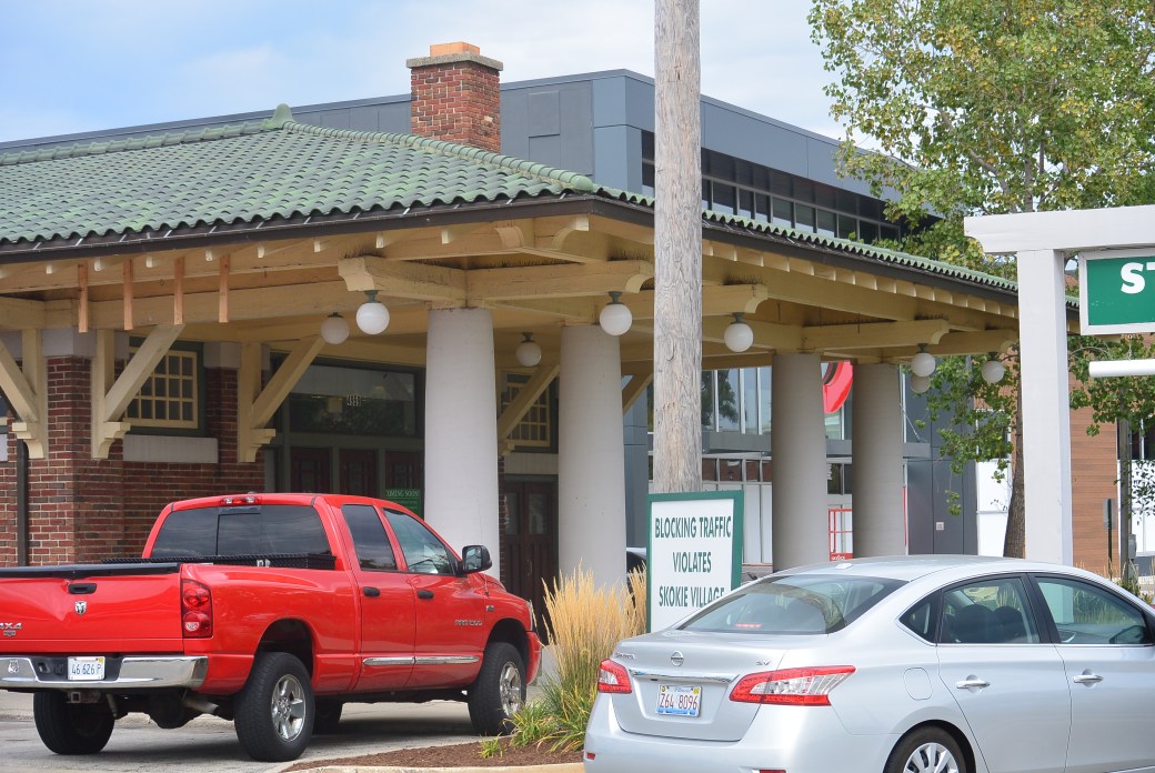
Internet Picture of the former station at Ashbury
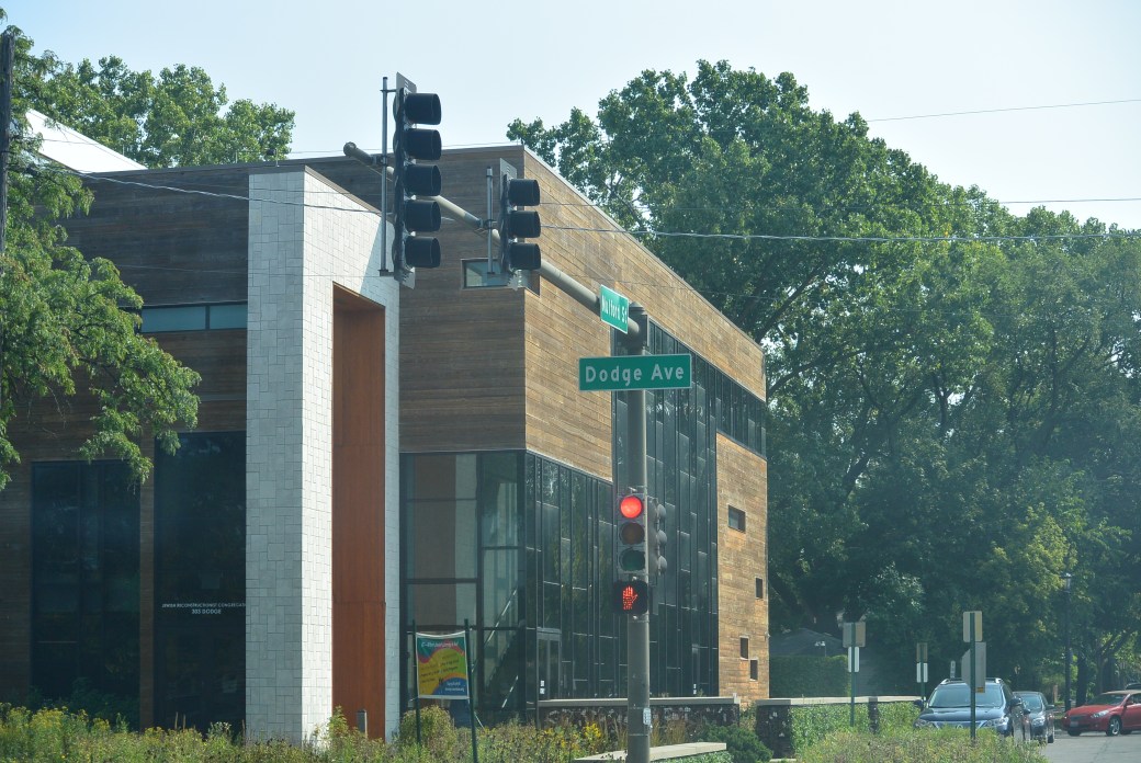
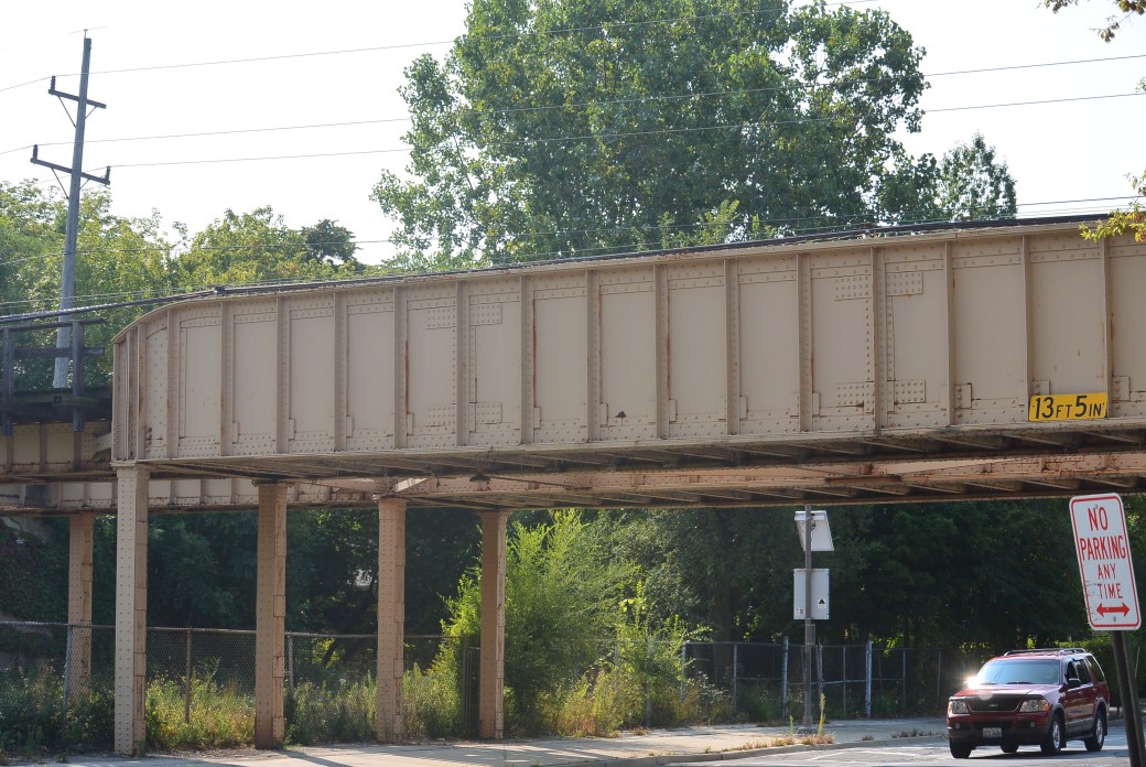
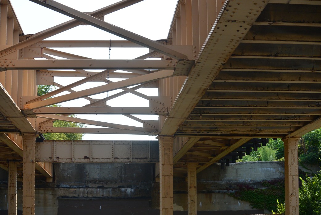
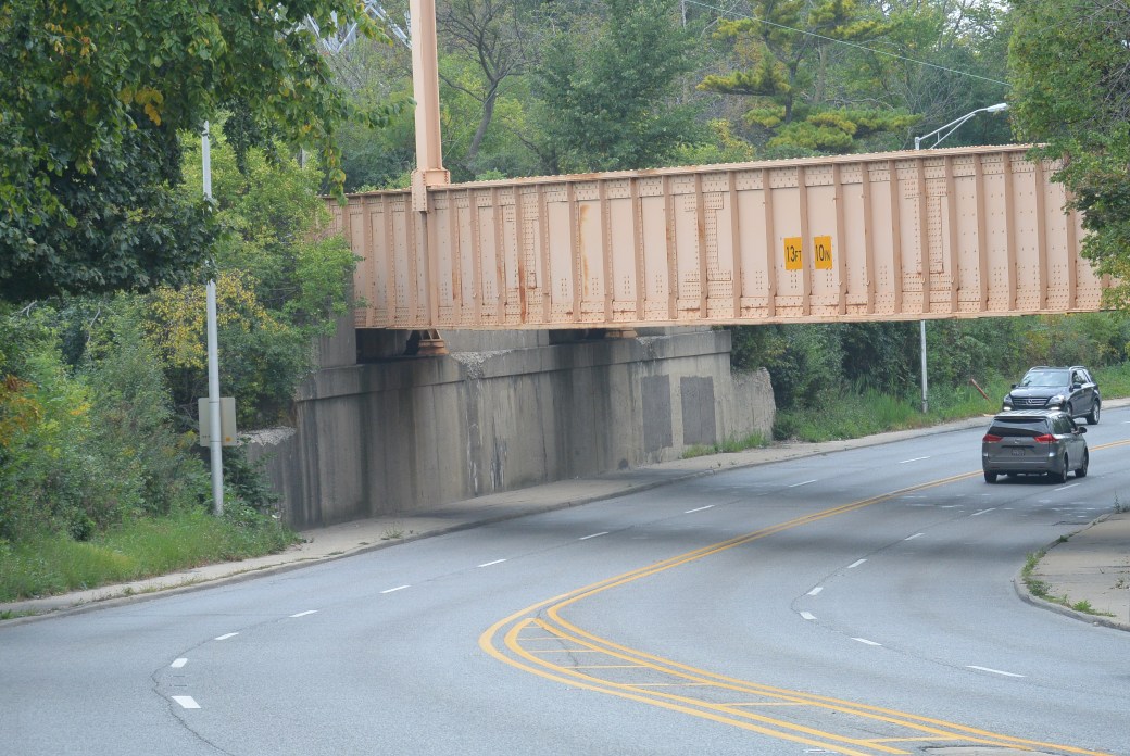
Dodge Avenue Evanston
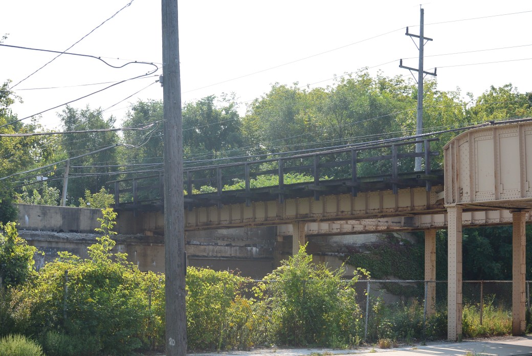
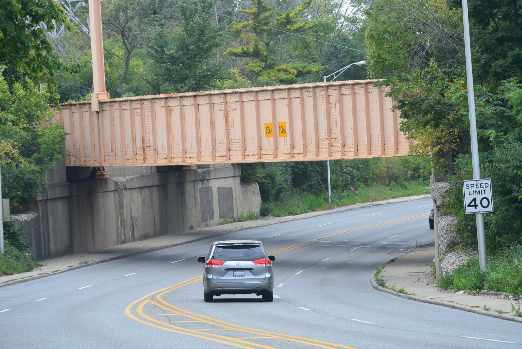
Dodge Avenue Viaduct Skokie Swift
Same as above
Same as above
Same as above
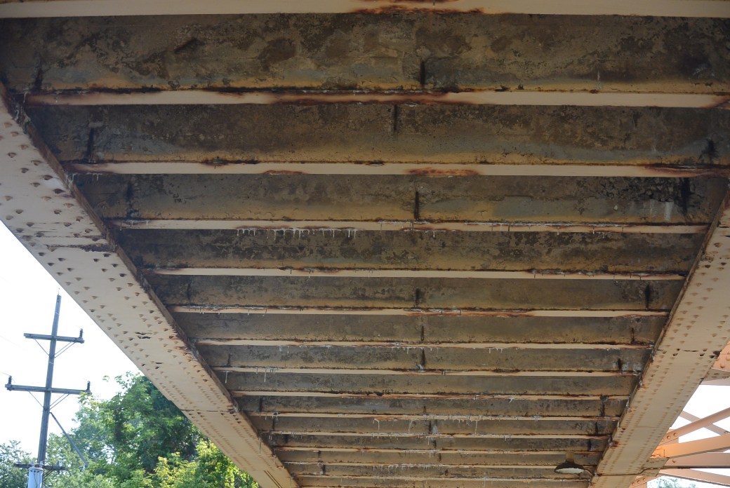
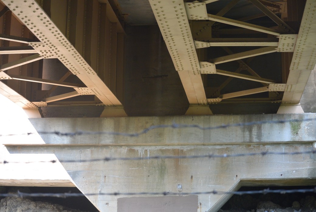
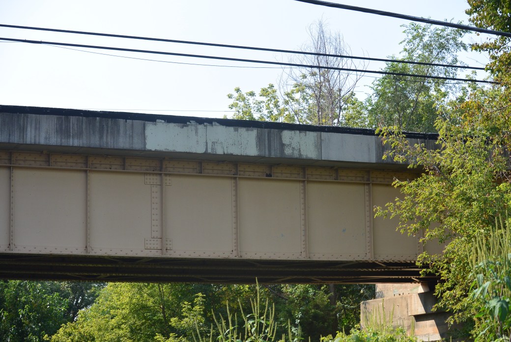
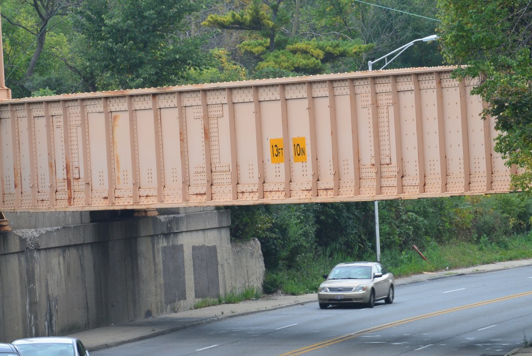
Bridge undersurface
Bridge undersurface
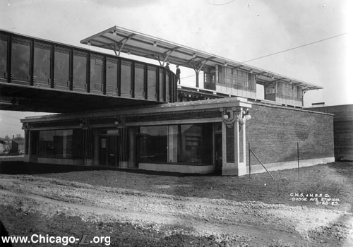
Old Dodge Avenue Station Skokie, Il
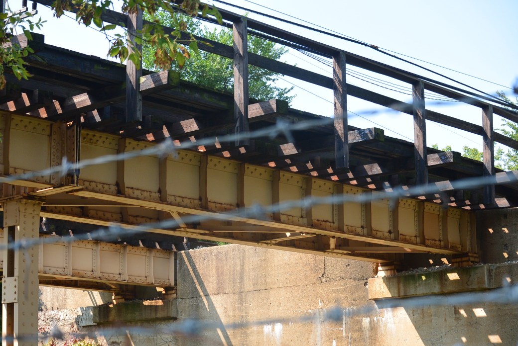
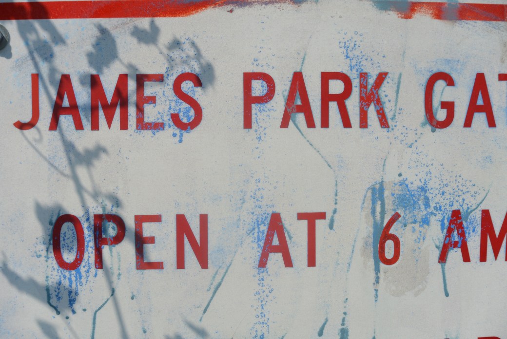
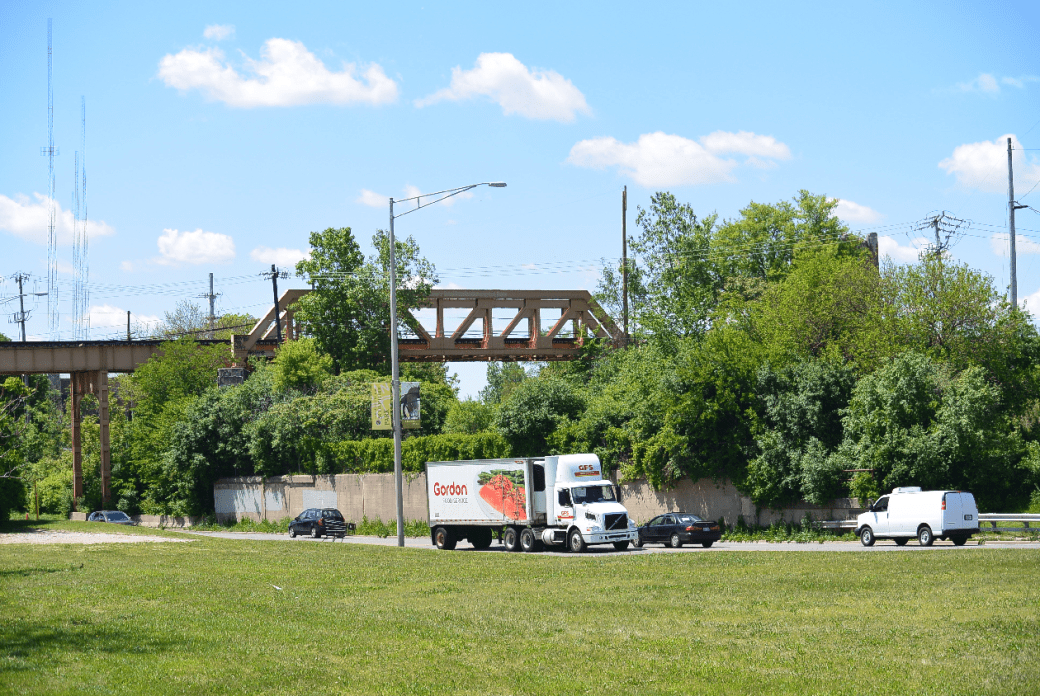
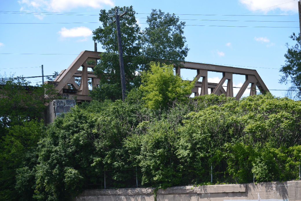
Viaduct James Park
In 1925, service was provided on this line by the Chicago Transit Company from Howard to Dempster. Stops on this line were Ridge, Asbury, Dodge,Crawford, Kostner, Oakton, Dempster. Service ended in 1948. It was replaced by bus service.
Viaduct James Park
Same as above
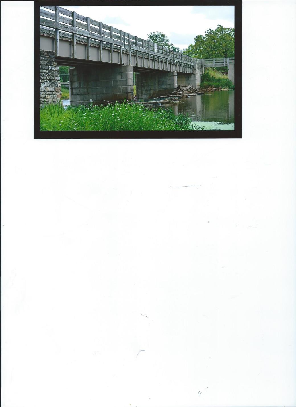
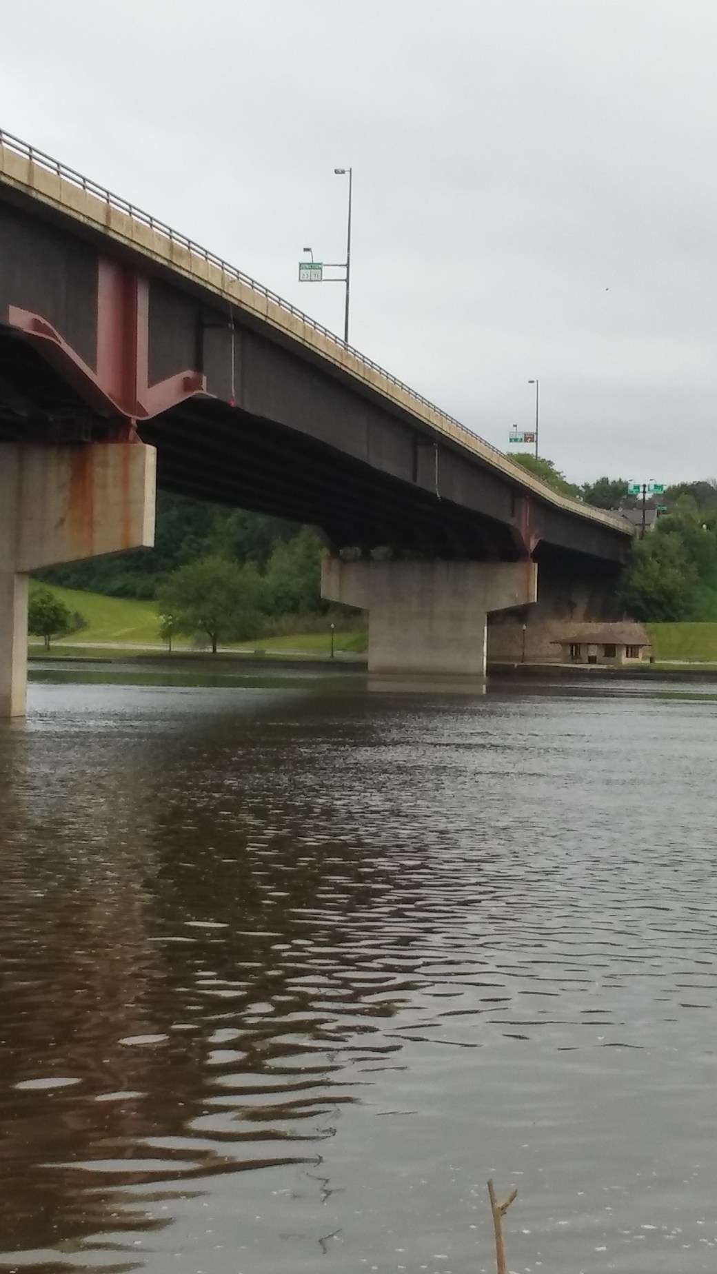
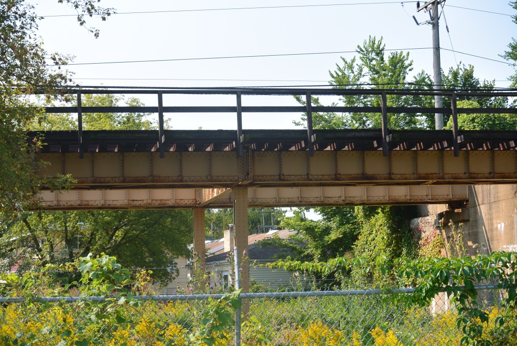
Yellow Line Viaduct over the NorthShore Channel
Yellow Line Viaduct over the North Shore Channel
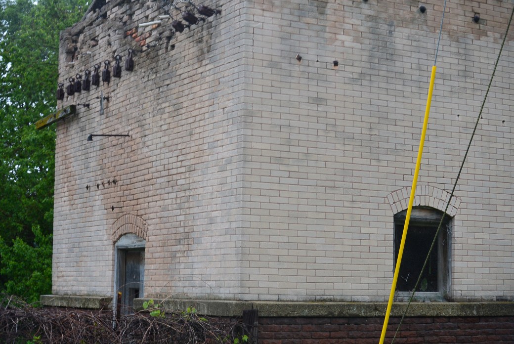
Remnant of Crawford Street Station Internet Photo
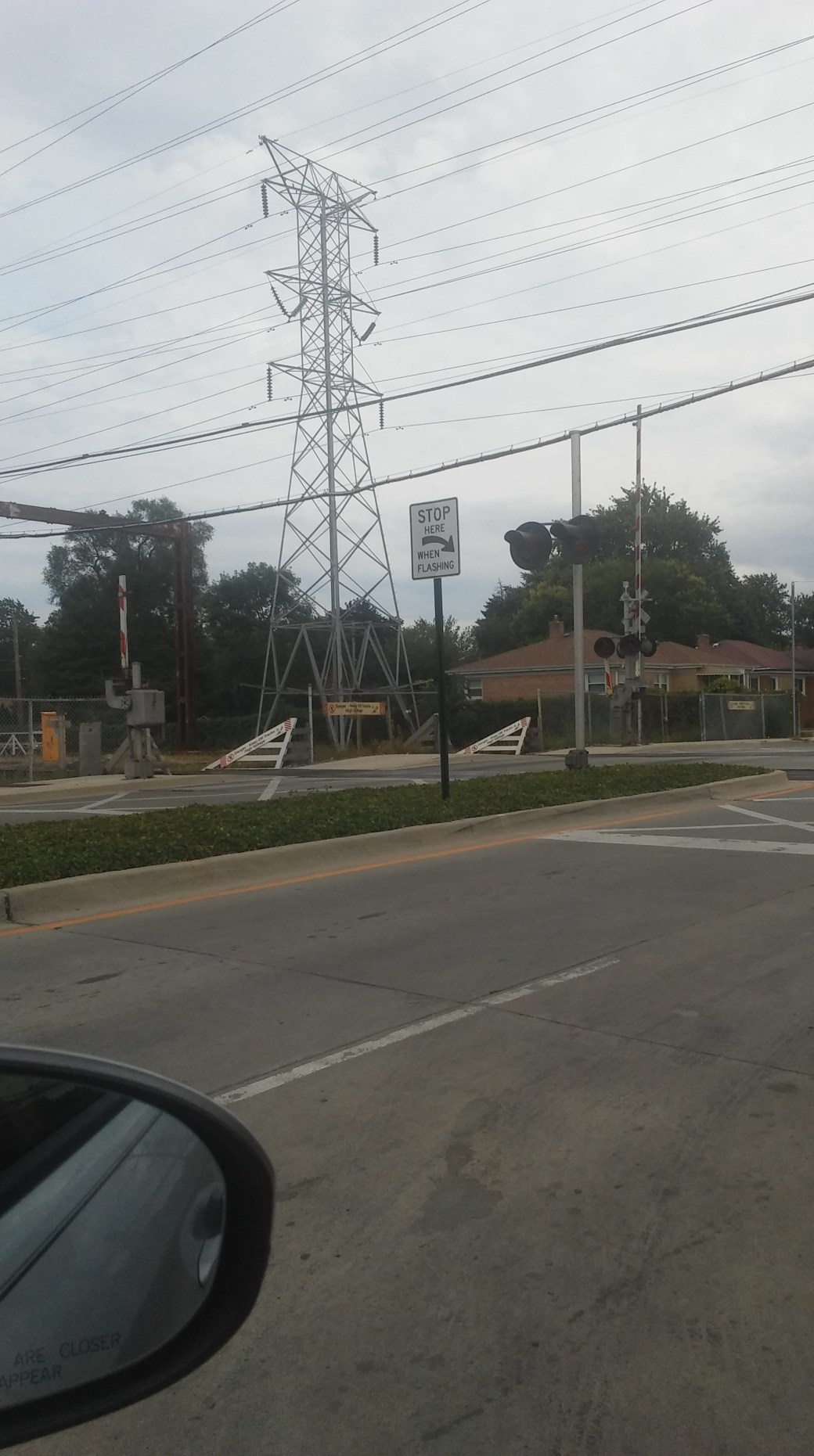
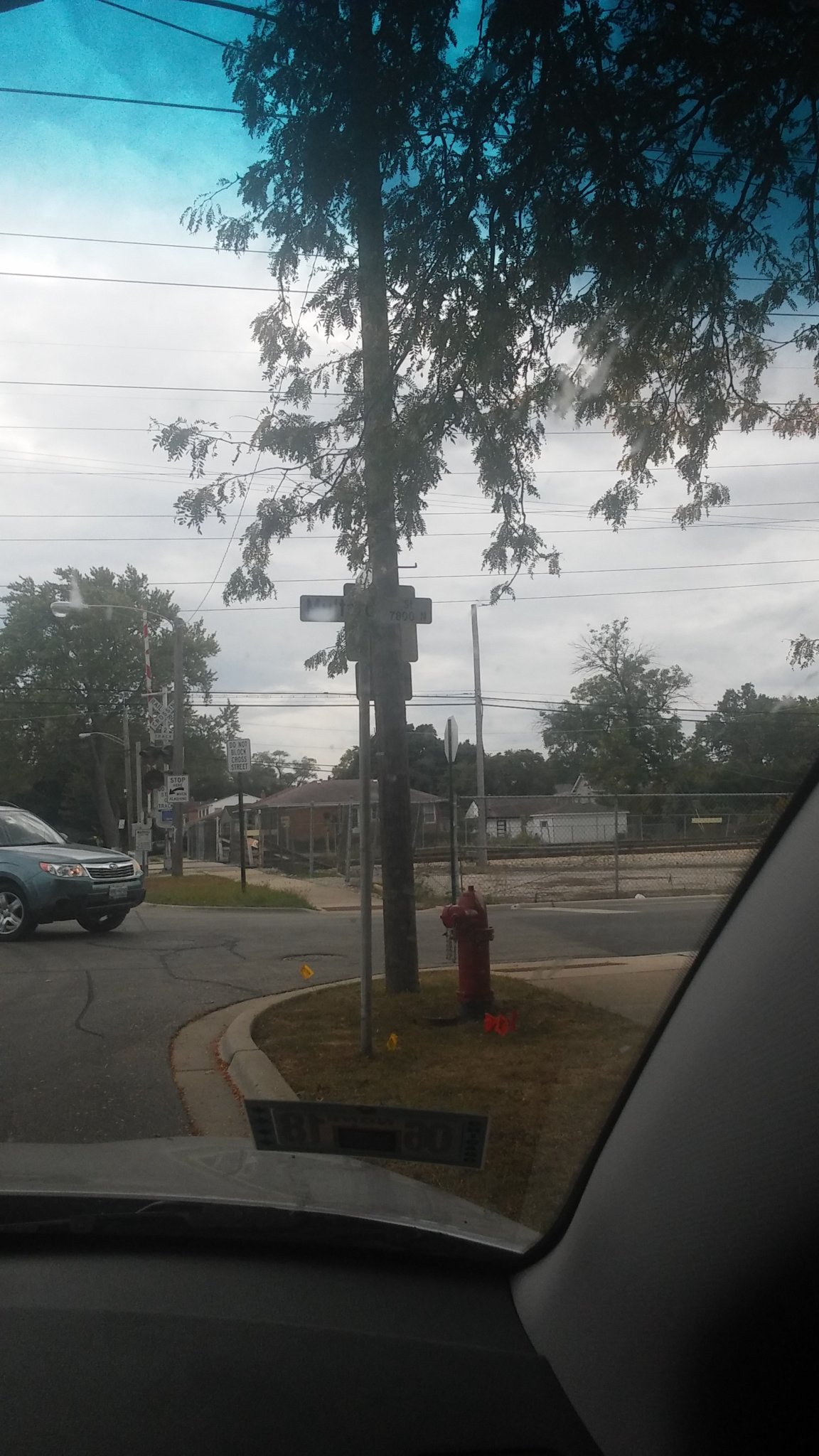
Crawford Street Crossing Skokie

Crawford Street Crossing
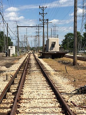
Yellow Line Skokie

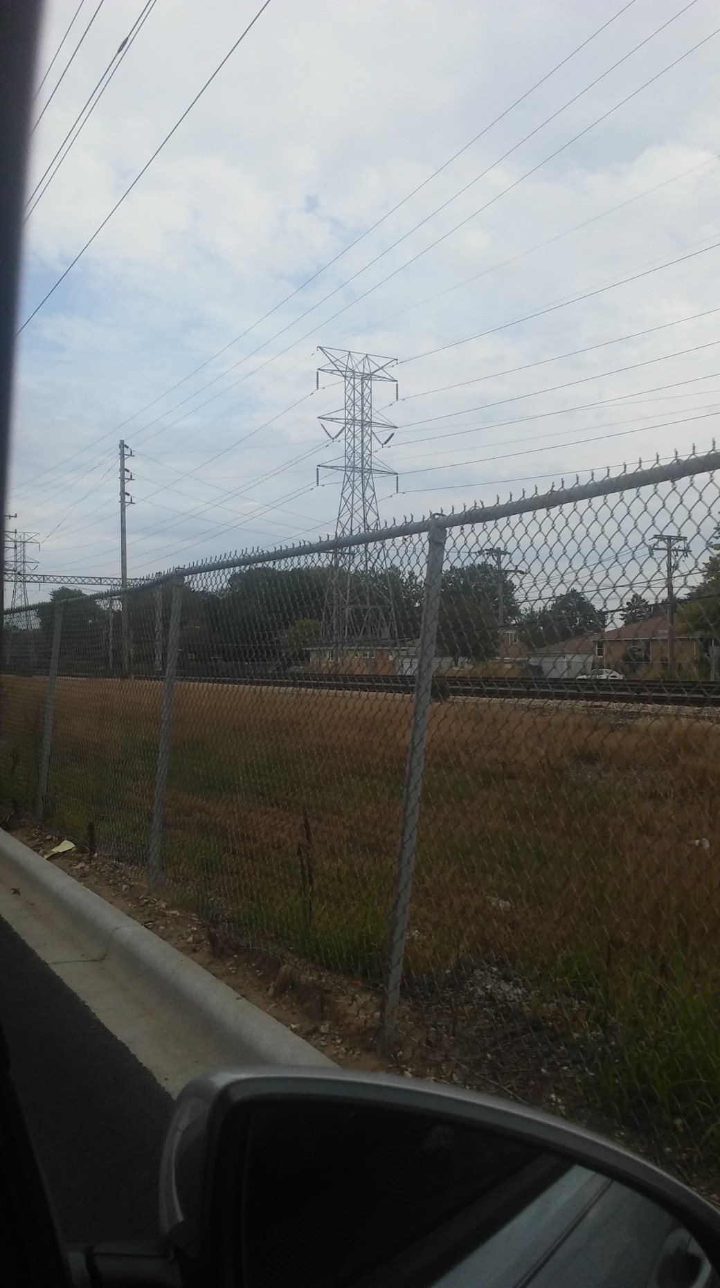
Kostner Avenue Crossing

Kostner Ave Crossing
Kostner Ave Crossing
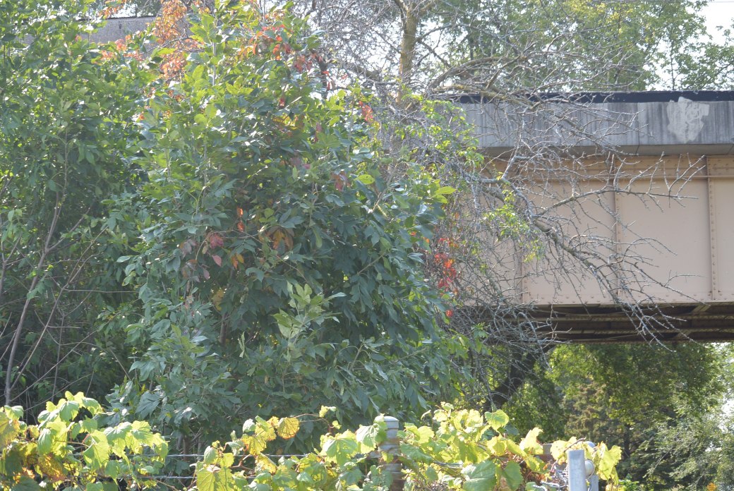
Skokie Swift Viaduct over the Skokie Highway
Skokie Swift Viaduct over Skokie Highway
Skokie Swift Viaduct over the Skokie Highway
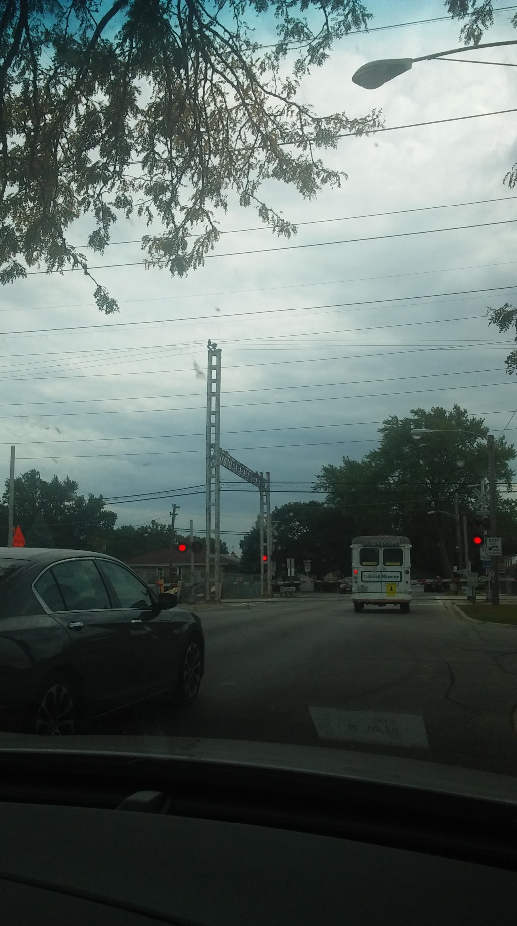
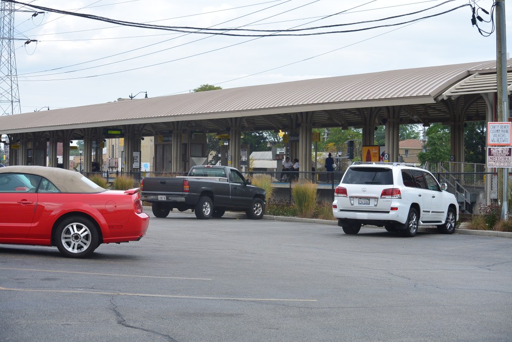
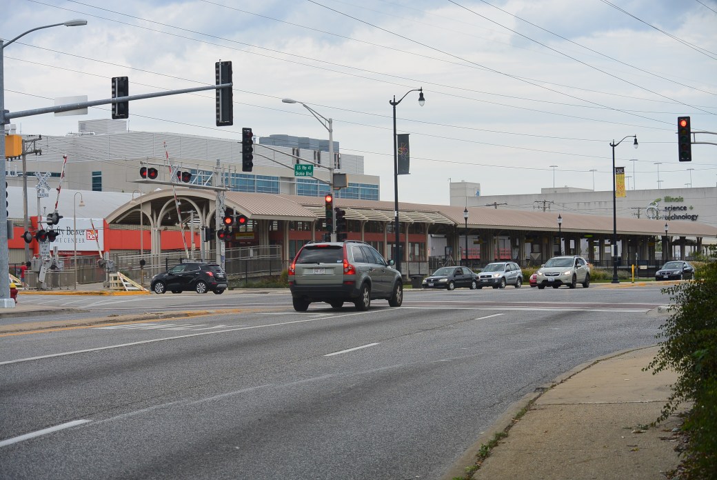
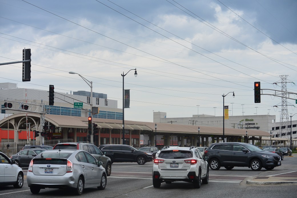
R.R. Tracks Yellow Line Oakton Street.
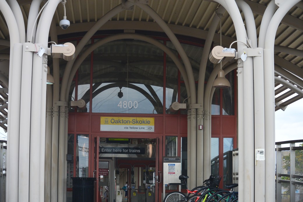
Oakston Street Yellow Line Station
Same as above
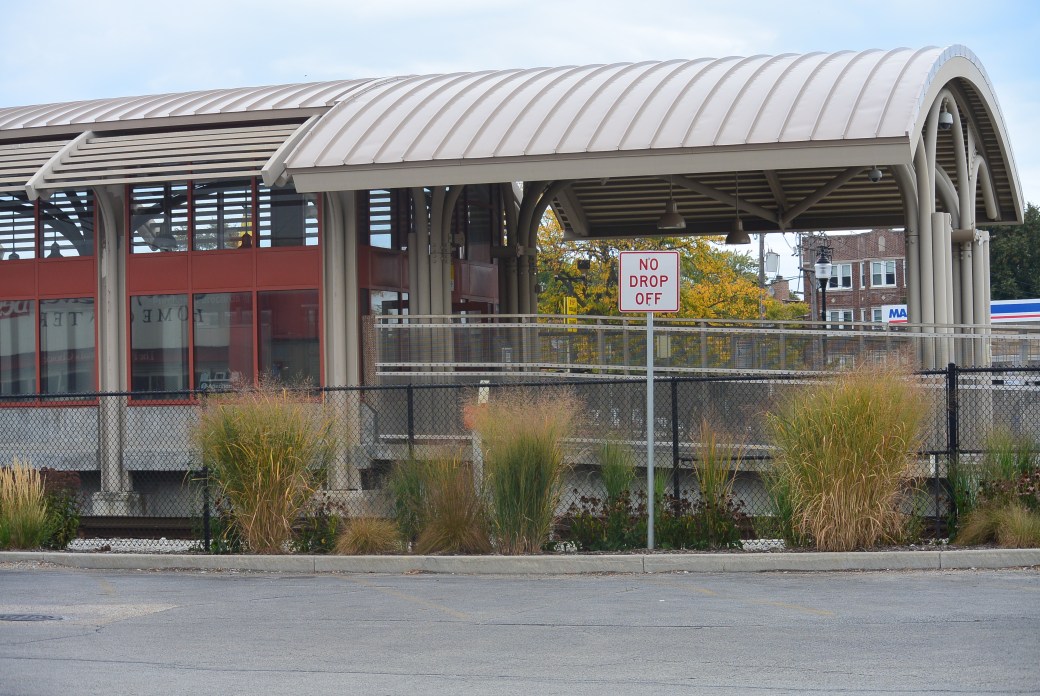
Oakton Street Yellow Line Station
Oakton Street Yellow Line Station
Oakton Street Yellow Line Station
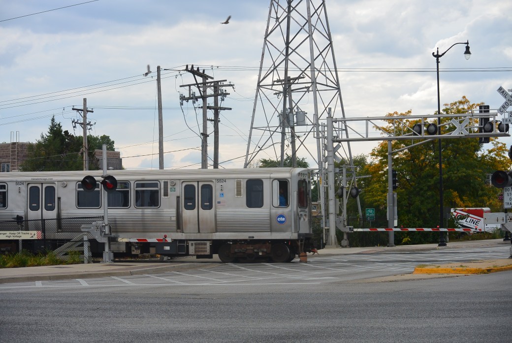
Yellow Line Train at Oakton Street Crossing
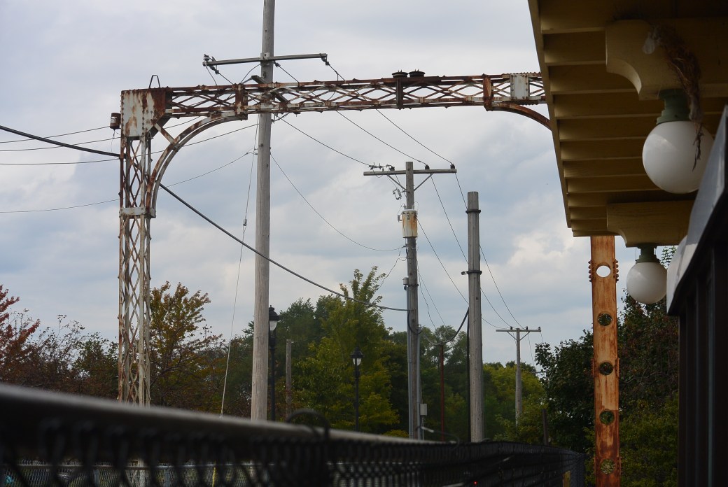
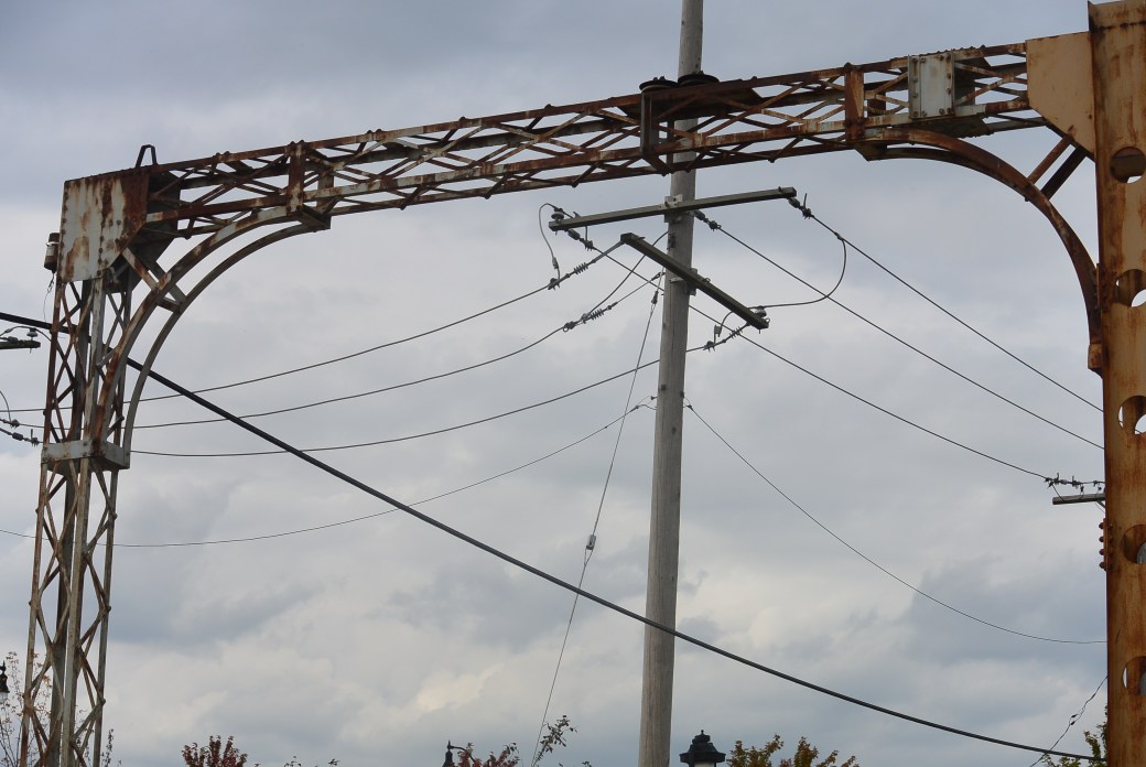
Structure for overlying power wires Dempster Avenue Yellow Line
Same as above
Yellow Line Train Station Dempster Avenue
Same as above
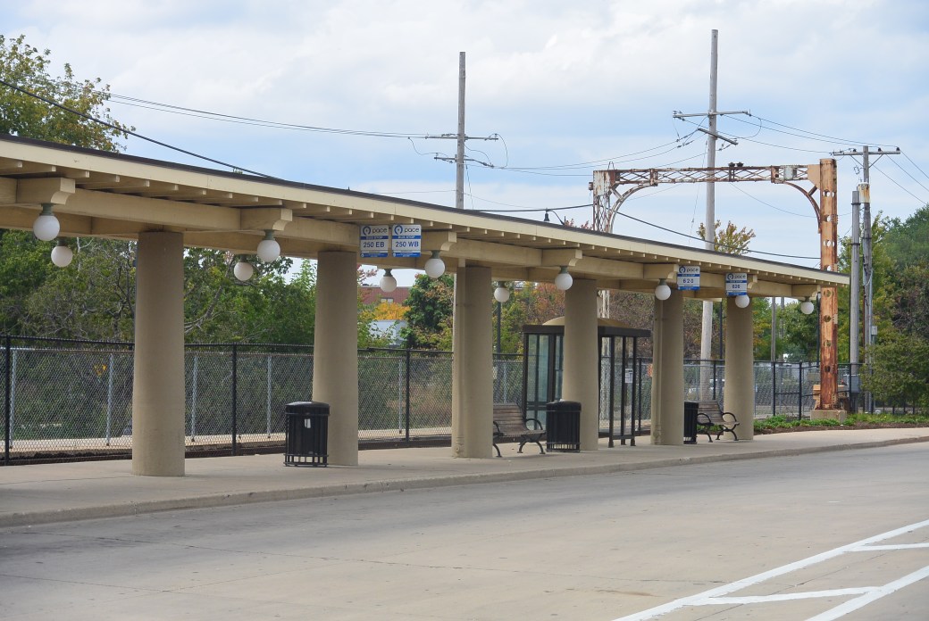
Bus stop Yellow Line Dempster Avenue
Old Train Station Dempster Avenue
Same as above
Same as above
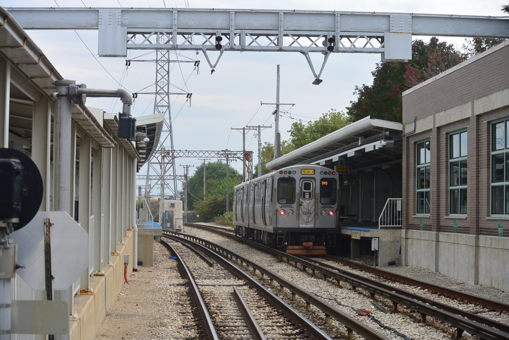
In 1963, North Shore R.R. line service ended. The CTA resumed service on the Yellow Line between Howard and Dempster
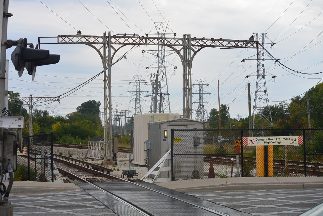
An interesting fact about the Yellow Line is that at one time, the eastern half received power from a third rail; the western half power from overlying wires. Eventually, the entire system was converted entirely to a third rail system.