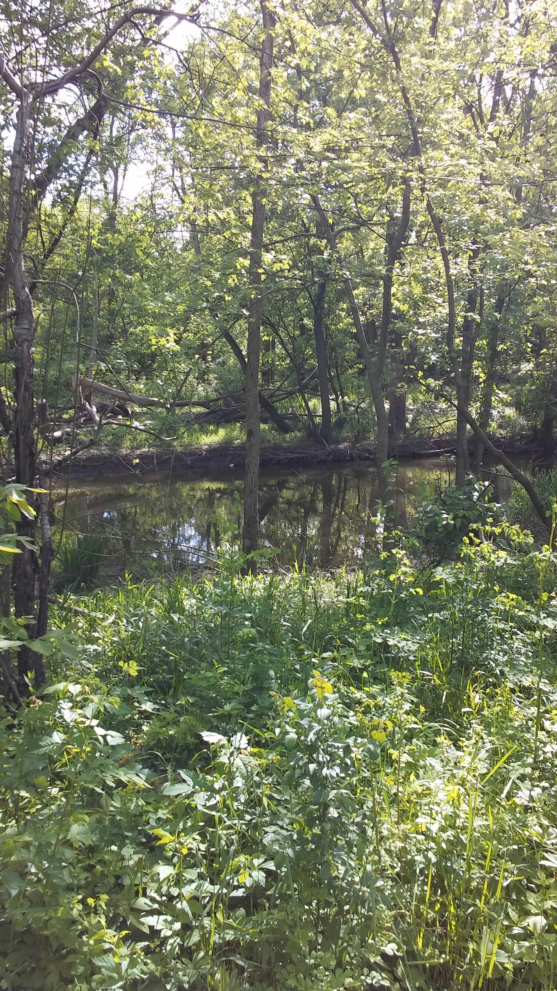
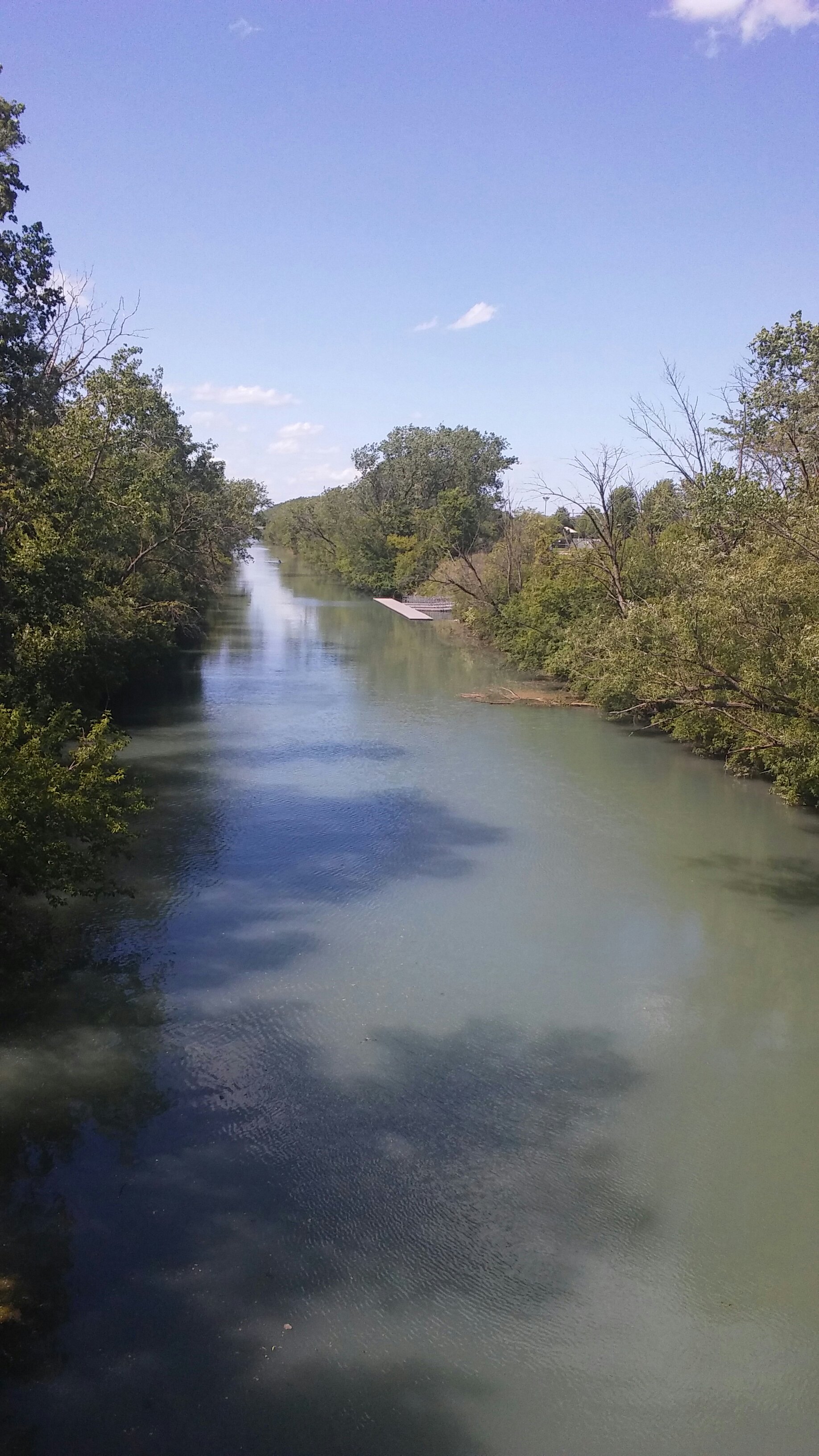
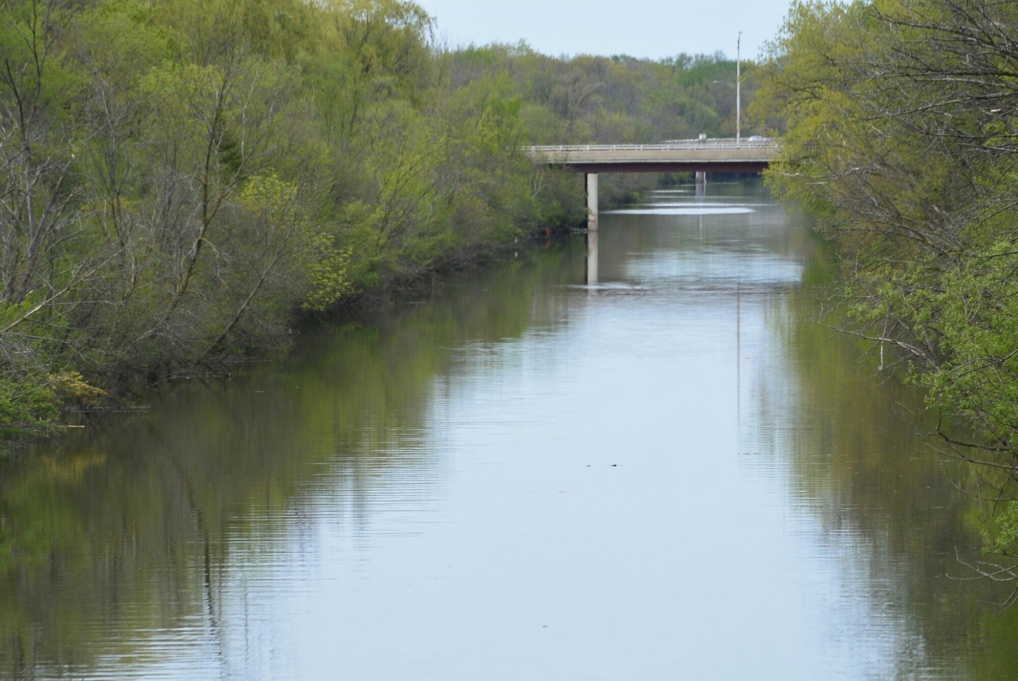
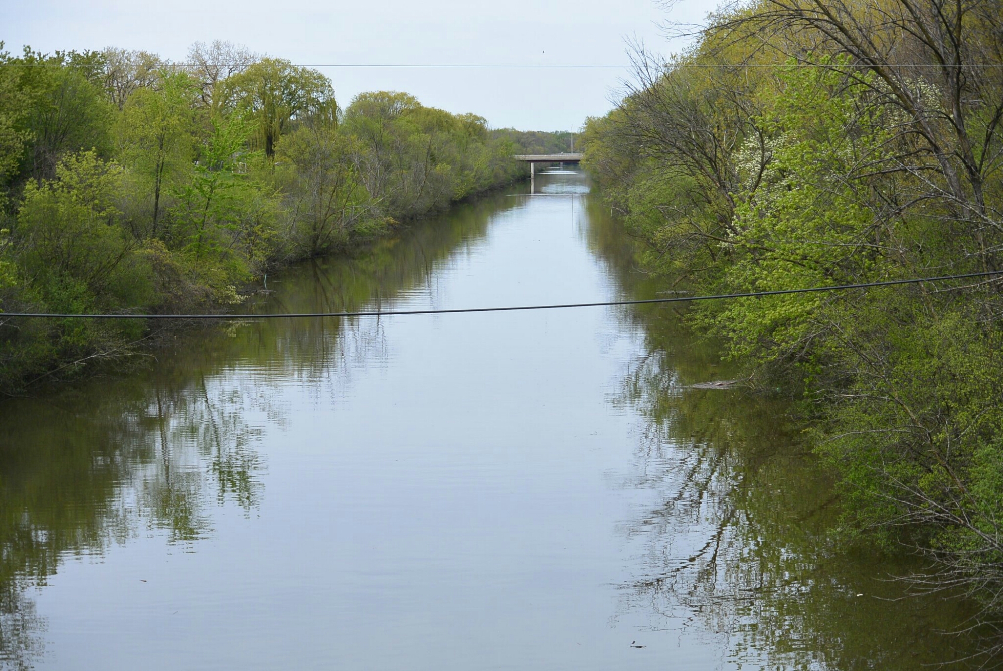
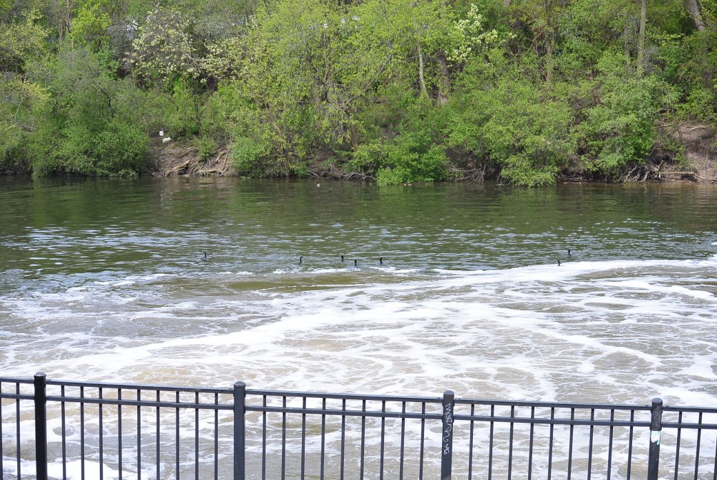
I and M Canal Marseilles, IL
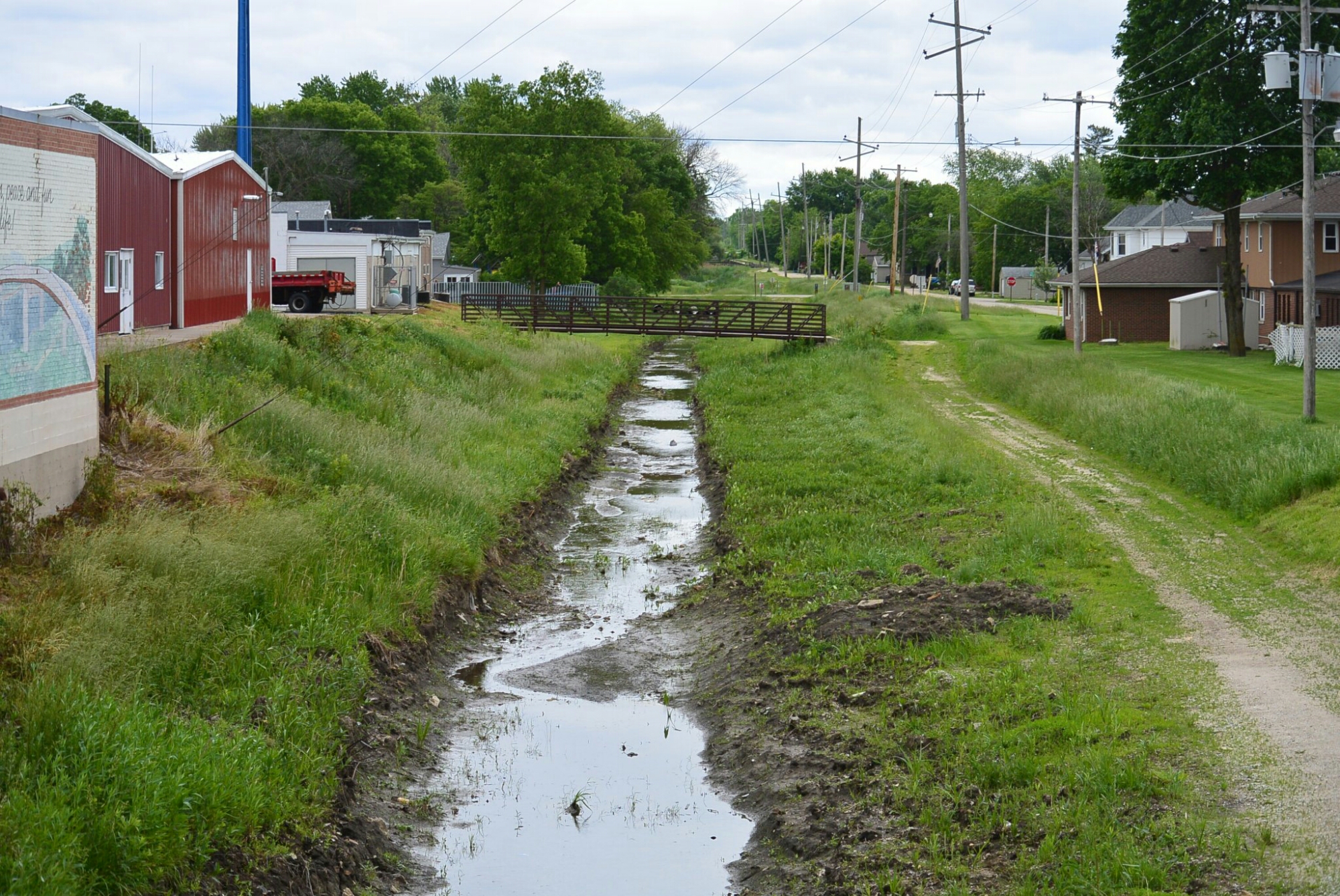
I and M Canal Marseilles, IL
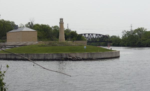
I and M Canal Marseilles, Illinois
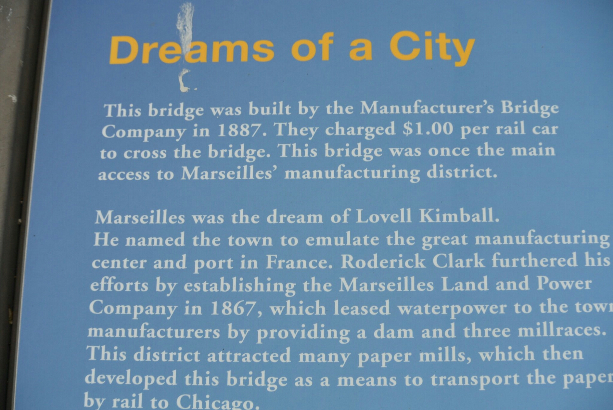
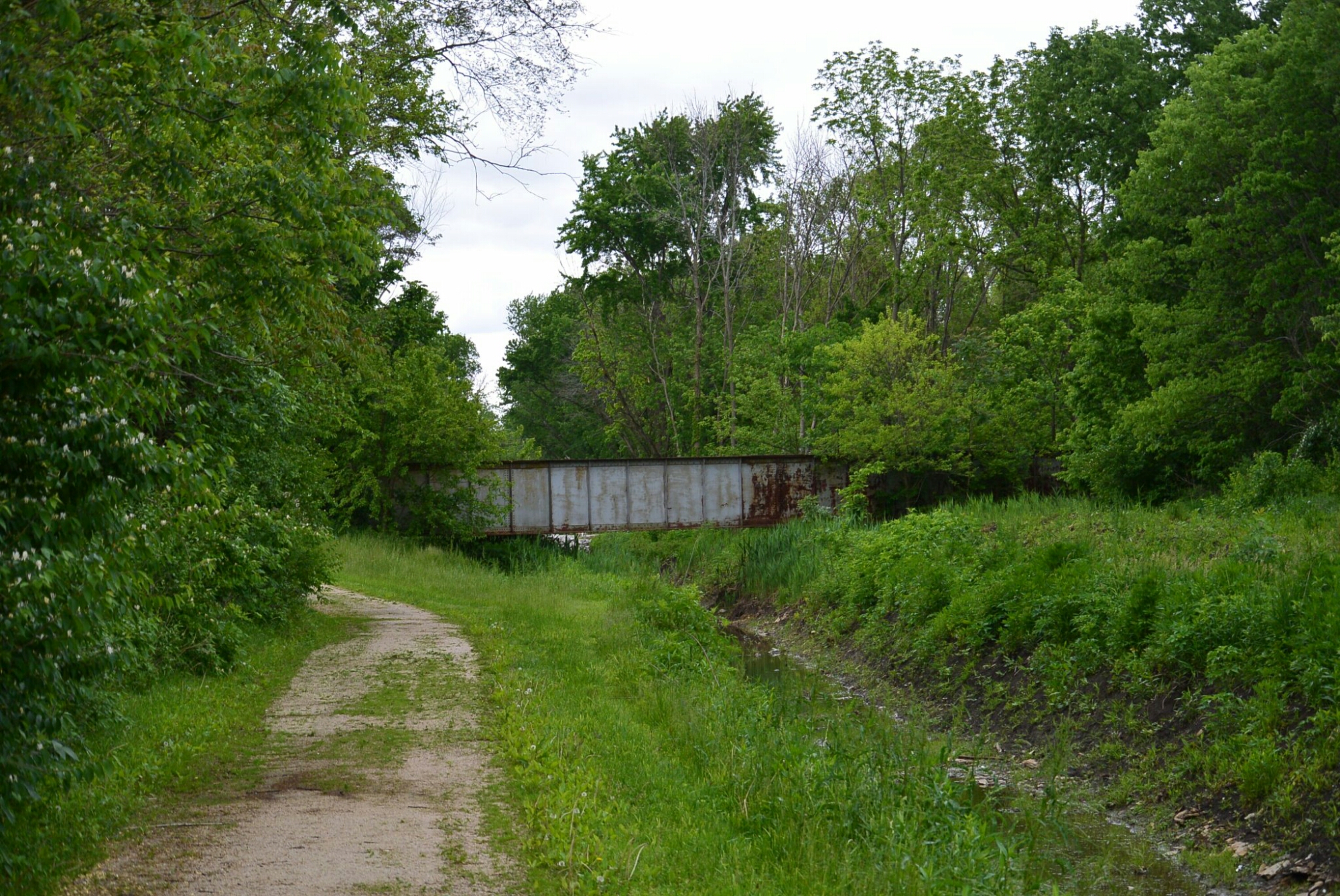
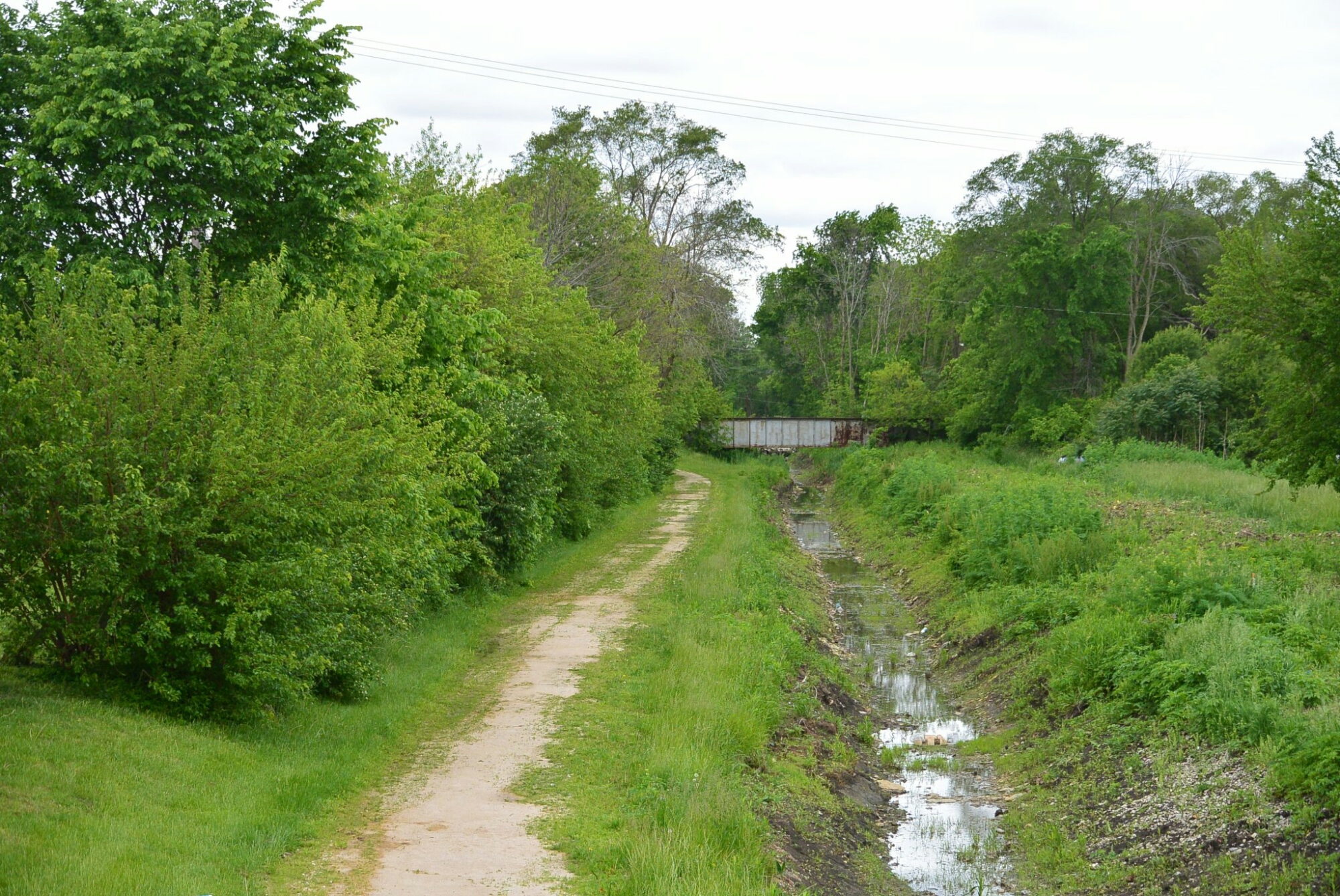
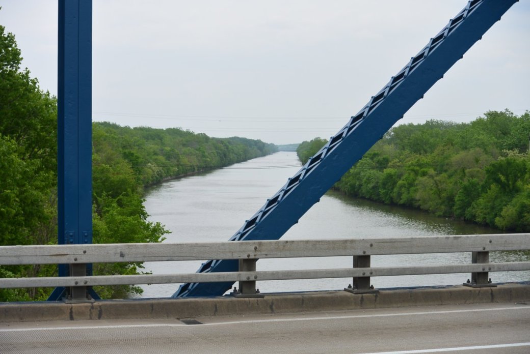
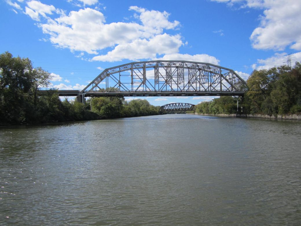
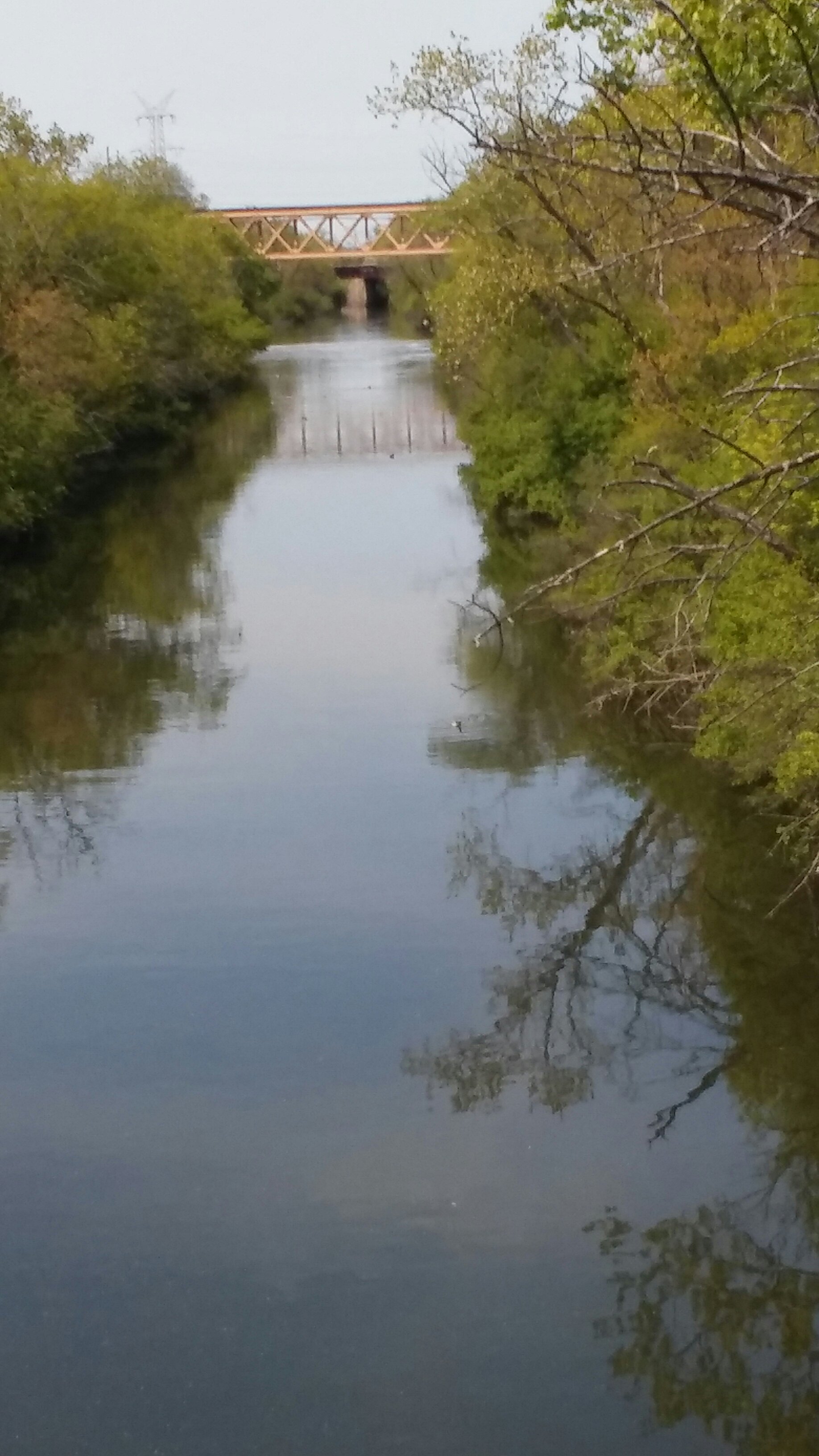
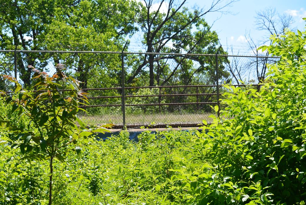
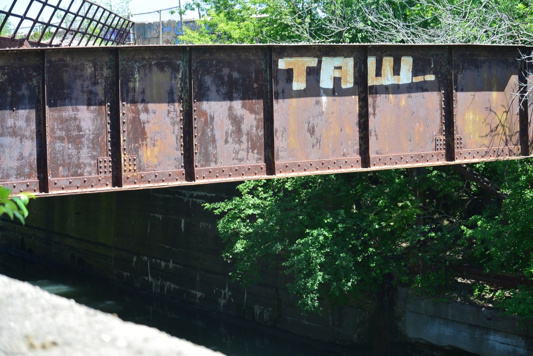
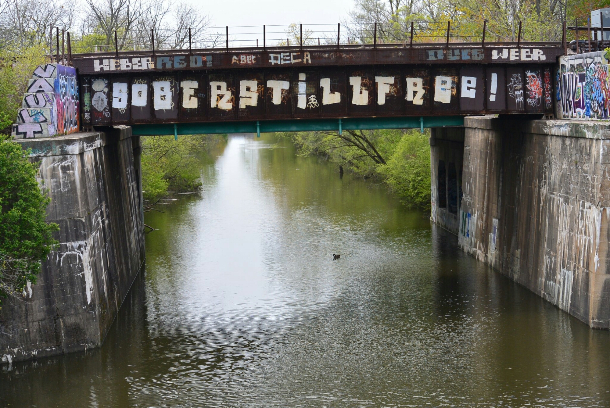
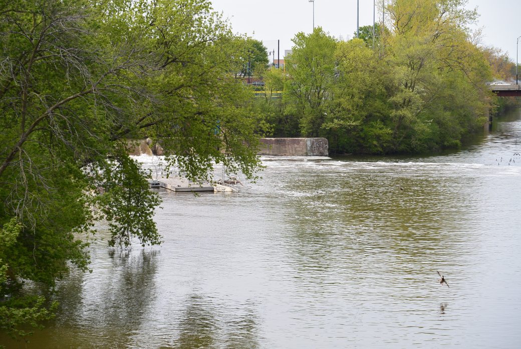
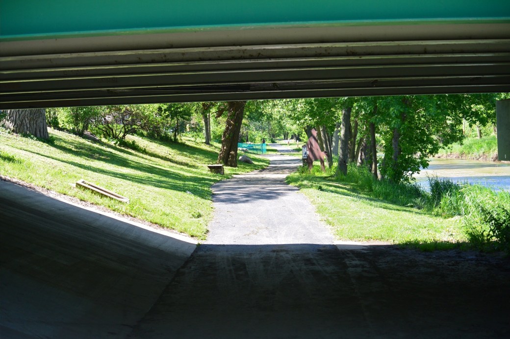
Railroad Bridge Marseilles, IL.

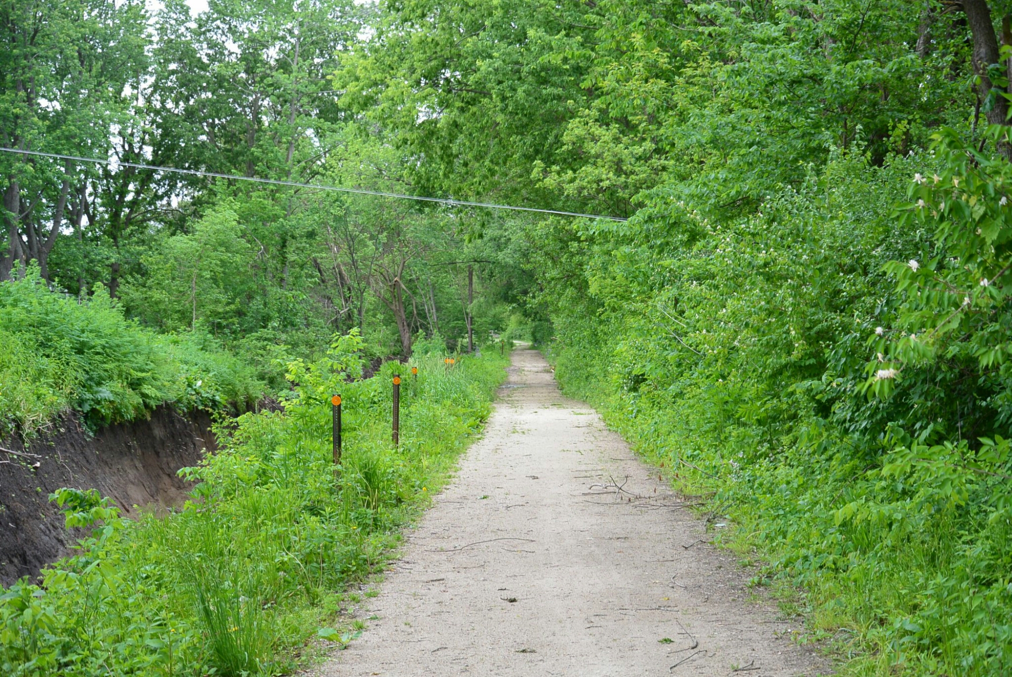
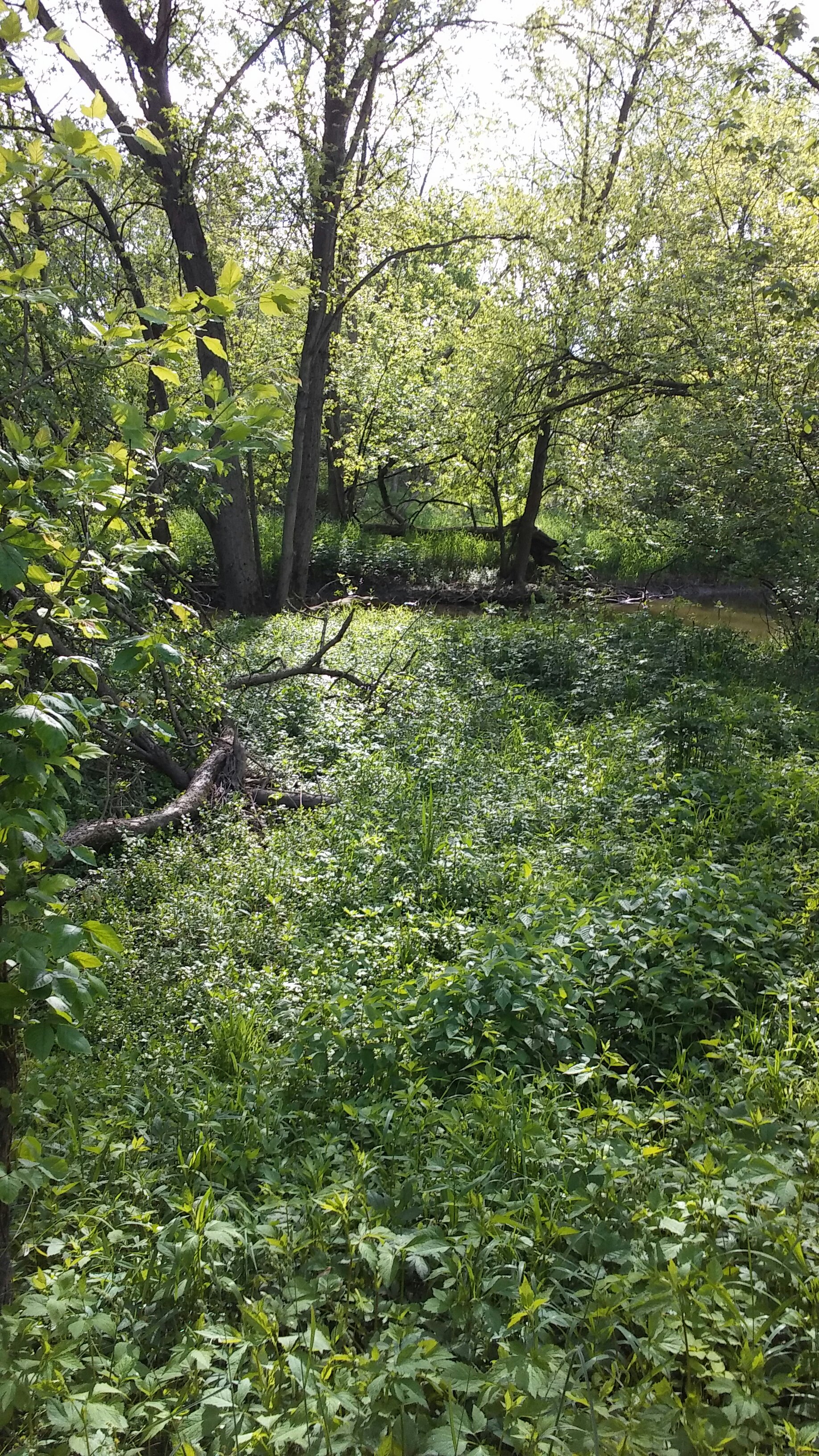
I and M Canal Marseilles, IL
I and M Canal Marseilles, IL
I and M Canal Marseilles, Illinois
Railroad Bridge Marseilles, IL.
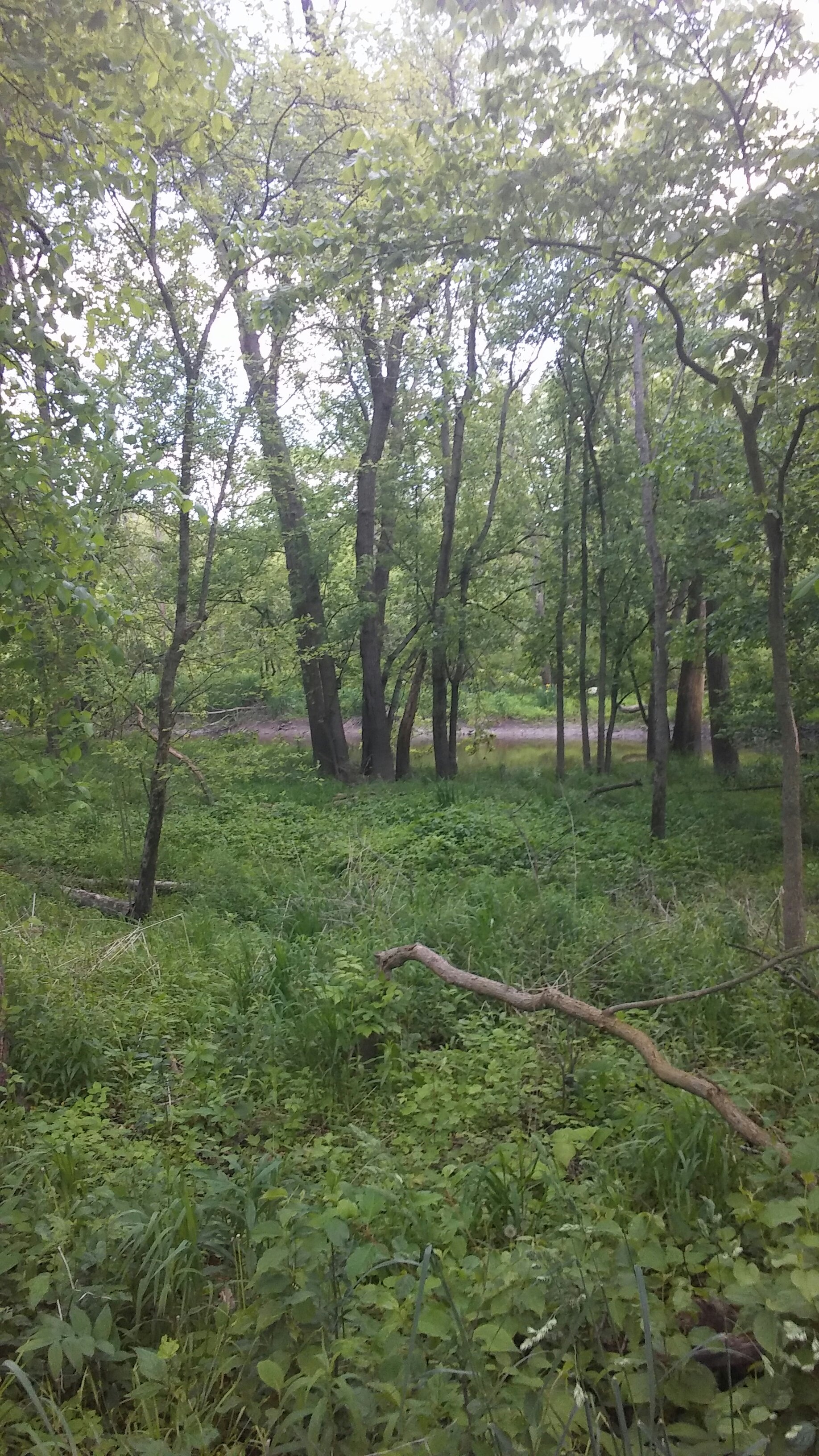
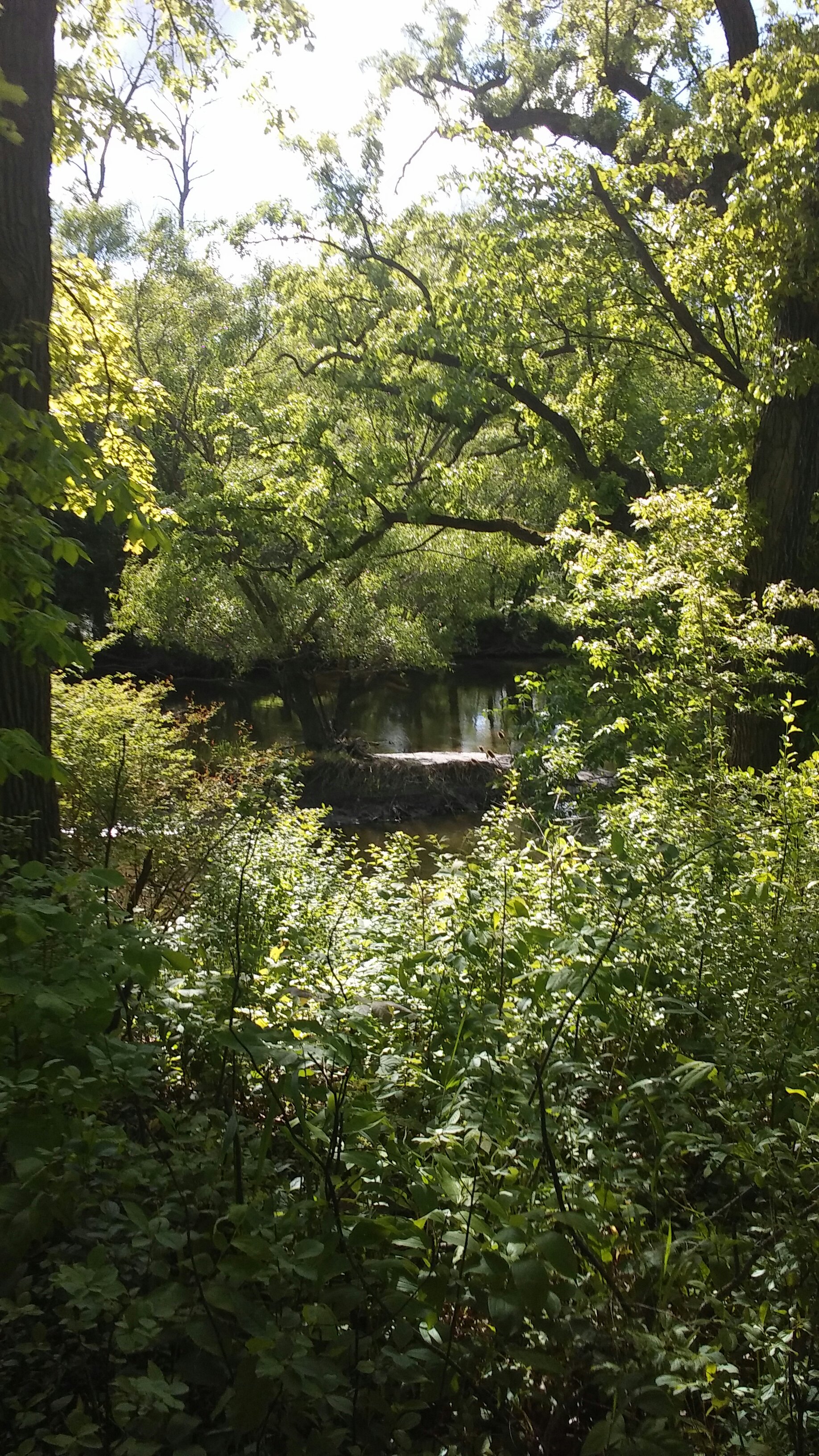
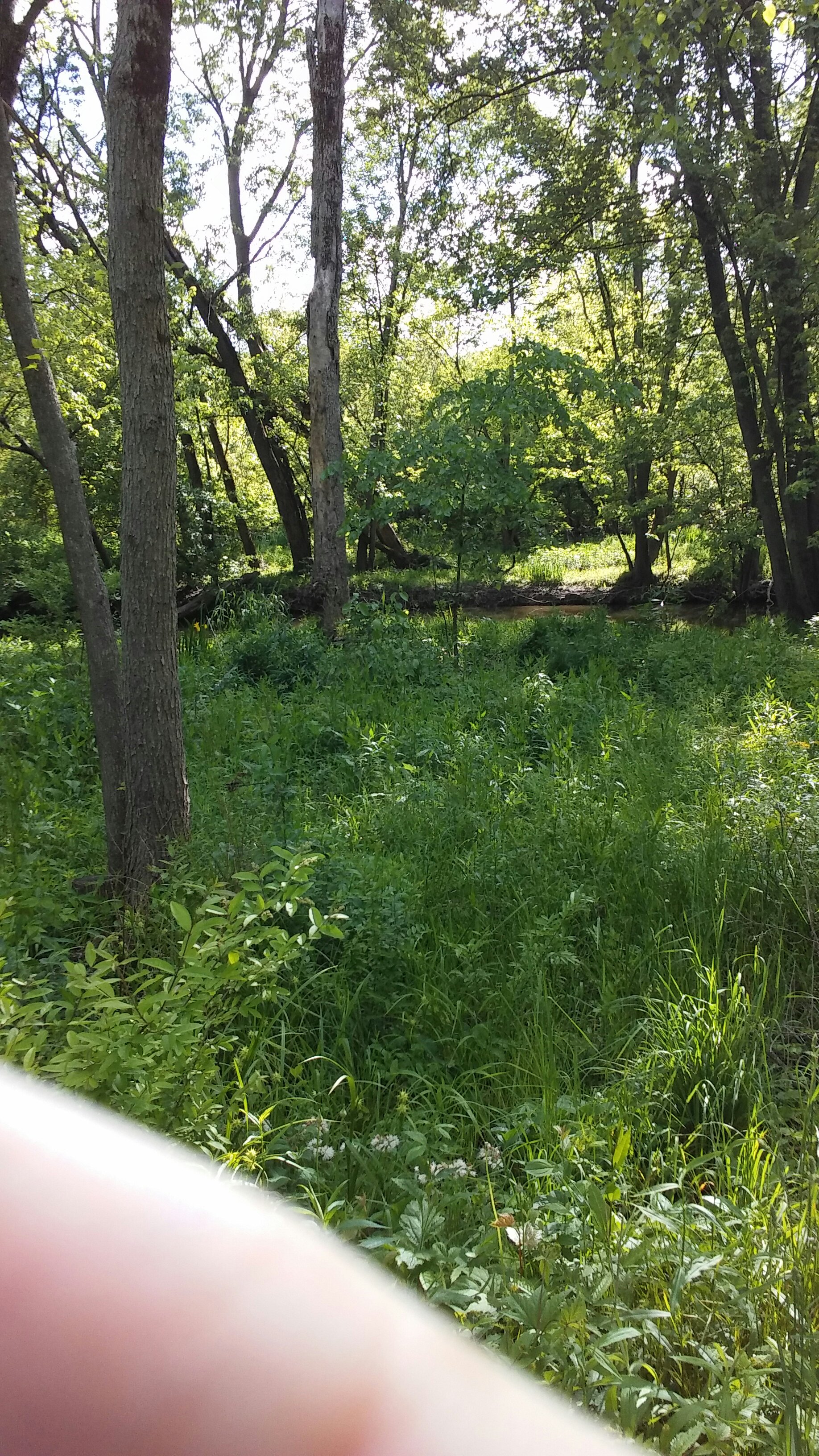
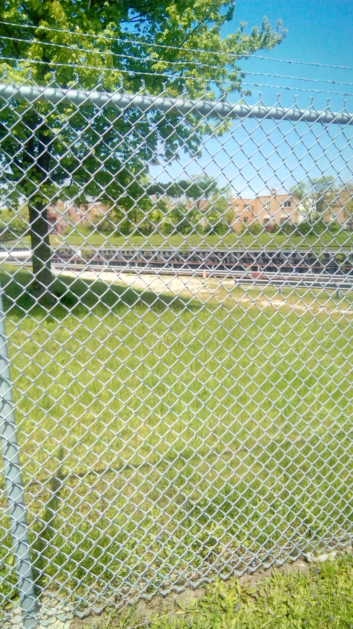
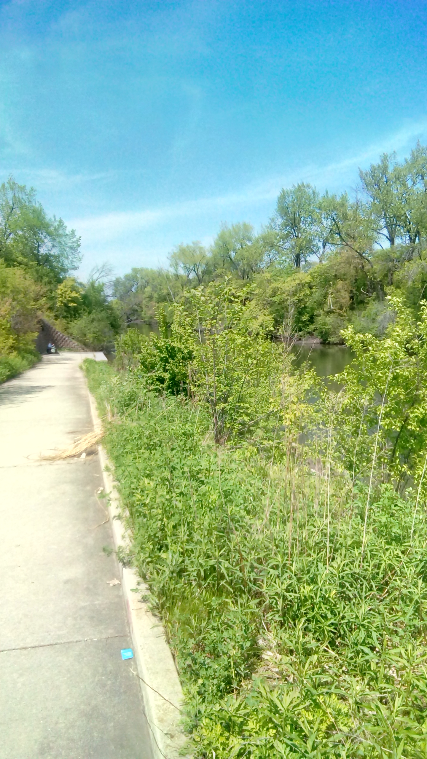
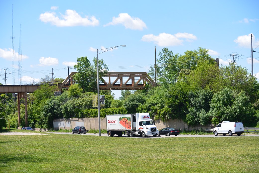
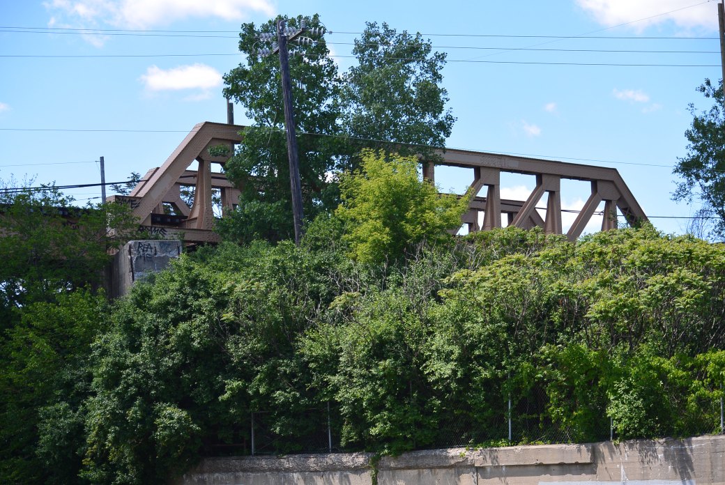
These are recent photos taken of the North Branch Chicago River Glenview, Il. 5/ 29/2017
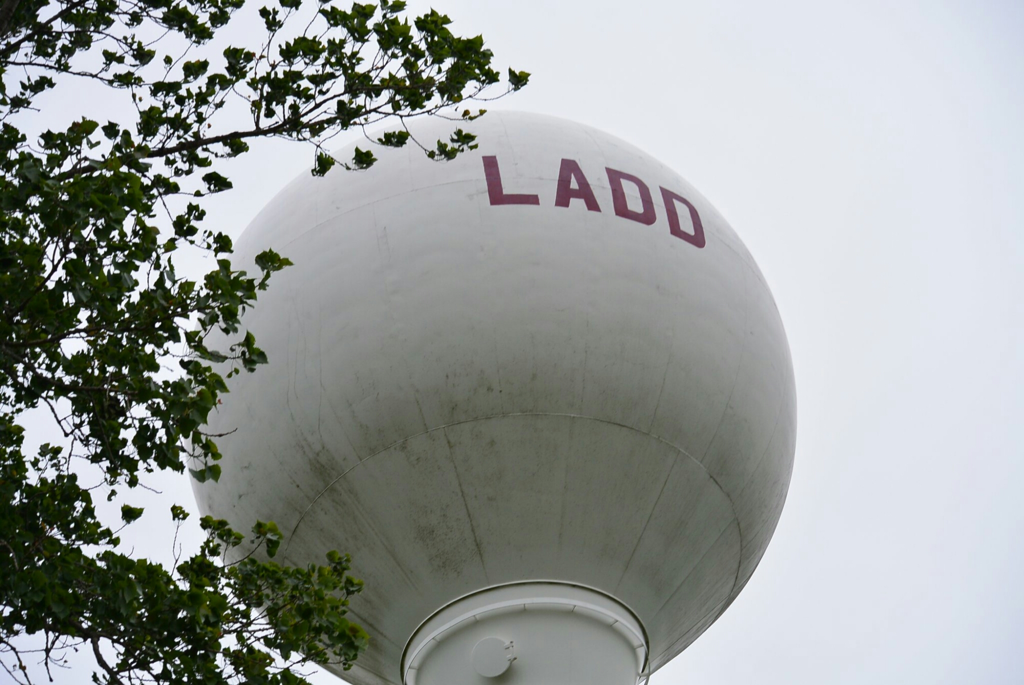
Ladd, Illinois.

Railroad. Ladd, Illinois.
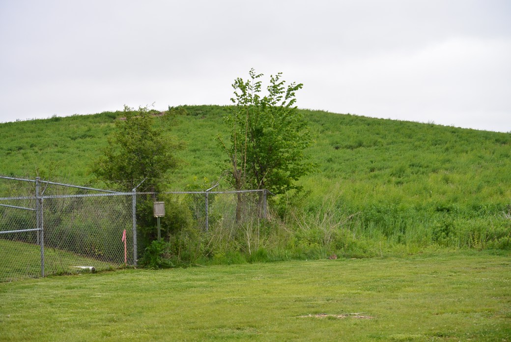
Ladd Slag Pile
The village of Ladd is a small community located in Bureau County in central Illinois. The area was originally called Osgood after the owner of the mine in the area. Later it was called Laddville after a businessman from Peru, Il. It was incorporated in 1890 as Ladd.
In 1888, the board of directors of the Whitebreast Fuel Company (Ottumwa, IA), authorized its agent William McNett to purchase mine rights in a section of Bureau County, Illinois. The purchase consisted of approximately 10, 500 acres in an area around what was to become Ladd. The site was chosen because of its proximity to a main road. There was also a railroad Illinois Valley and Northern. This was constructed to service an elevator in Ladd owned by George Ladd. This track was leased by the Chicago, Burlington and Quincy. Later the Milwaukee Road built a terminal in the area.
The original miners came to the area from Iowa in 1888. They encountered considerable difficulty in drilling due to the composition of the soil. After one and a half years, they successfully drilled 3 shafts. Whitbread fuel company operated the mine for 11 years.
In 1901, the mine was purchased by S.M. Caldwell and a group of investors. The company was called Illinois Third Vein Company. The new company made over $100,000. In improvements in the mine. They erected a coal washing plant. They installed a new ventilating fan.
At its peak, the town of Ladd had 700 miners and 300 railroad employees. This continued until 1924. The mine produced 6,198,174 tons of coal during its life.
The mine was closed in 1924 in part due to competition with nonunion mining in southern Illinois. The miners relocated to areas with active mining operations. Railroad workers were relocated.
The abandoned mine was sold to Peter Bergandi in 1925. The purchase price was $5000. Not much is known about what this individual did with the mine.
The only remnant of the mine is the slag pile. It was composed of shale and slate rock. At one time, it stood at 252 feet in height. Recently, it’s height was reduced by 80 feet by the Illinois Department of Natural Resources. The mine shafts were refilled.
In the past, plans were proposed for the slag hill. One of the more novel ones was a revolving night club at the top. Trees were planted on the hill by school kids.
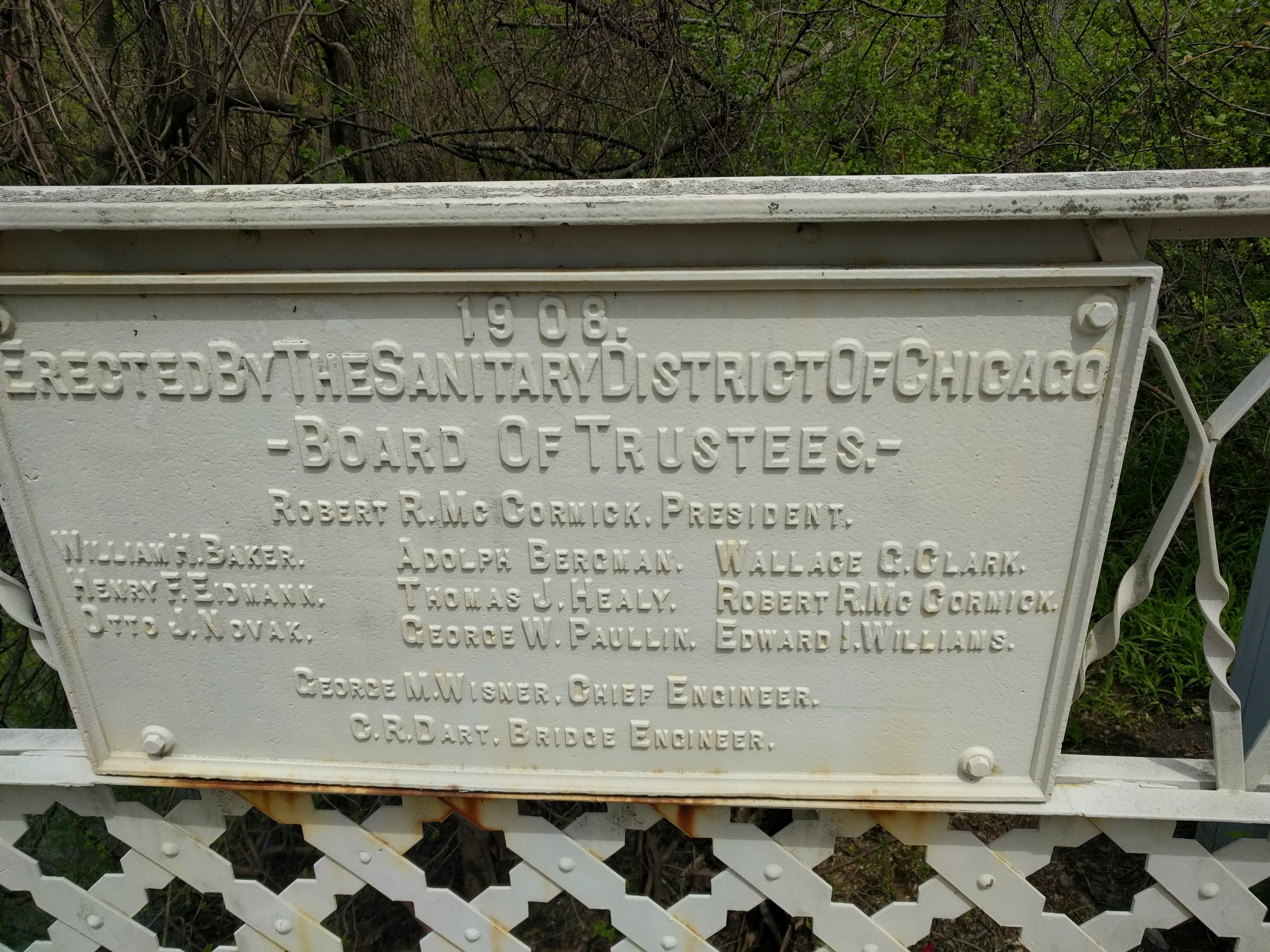
Junction Cal Sag Canal and Sanitary and Ship Canal
Cal Sag Channel
Archer Avenue Bridge over the Cal Sag Canal
These views are of the westernmost Cal Sag Canal.
North Shore Channel near Devon St.
North Shore Channel near Devon St
North Shore Channel South of Devon St.

North Shore Channel South of Devon St
North Shore Channel South of Devon St
North Shore Channel near Howard Street

North Shore Channel near Howard Street
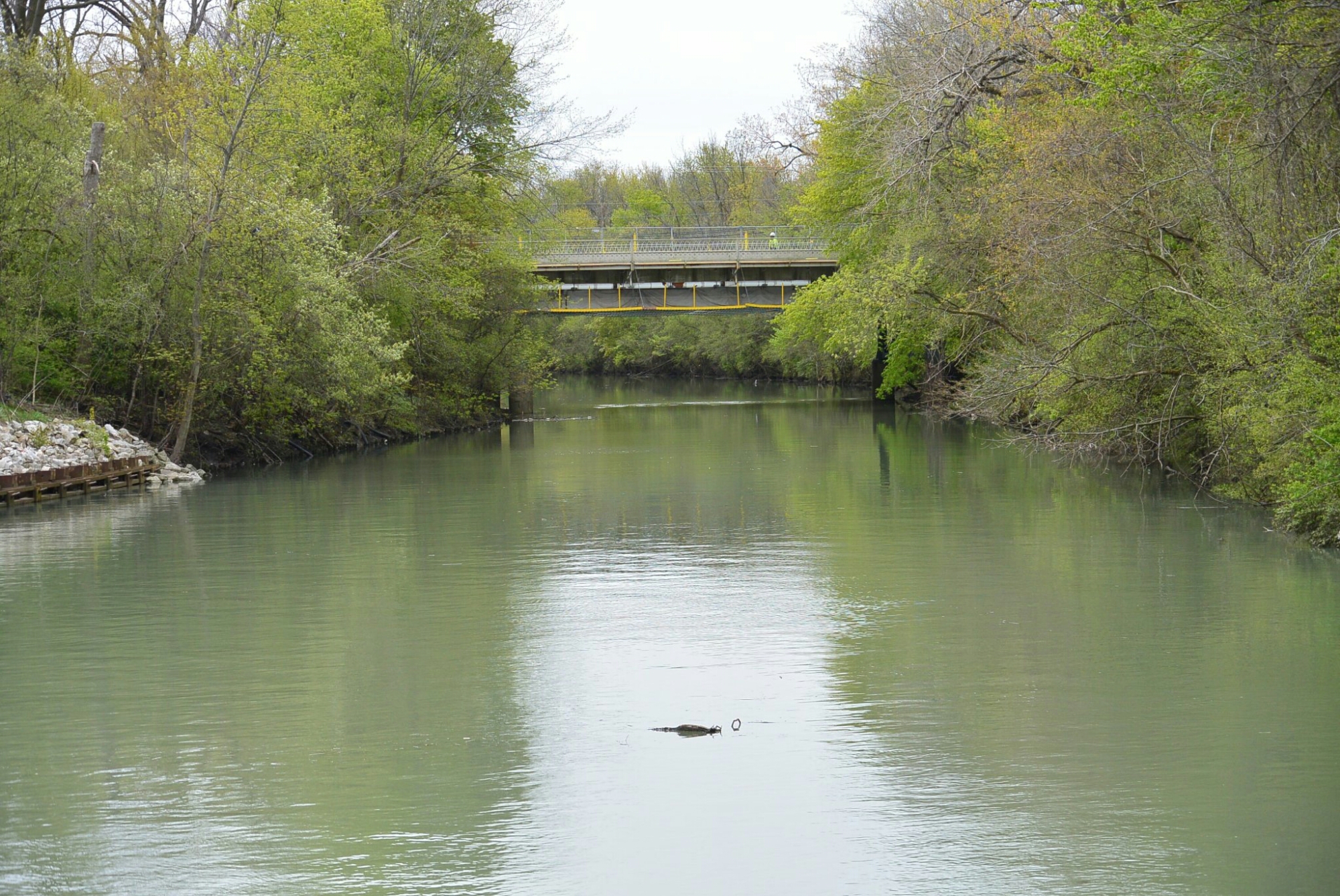
North Shore Channel near the Skokie Swift Bridge
North Shore Channel Skokie near Oakton Ave

North Shore Channel Skokie near Oakton Ave. Bridge in the distance

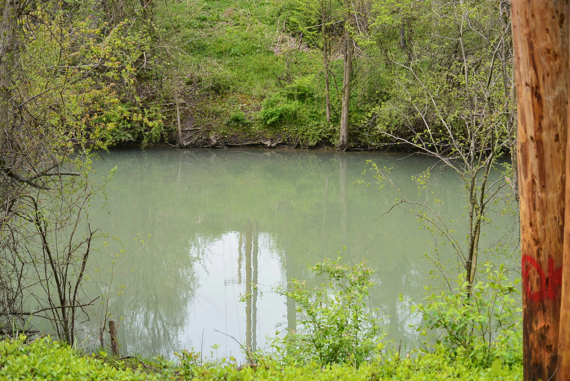
North Shore Channel Skokie

North Shore Channel Skokie

North Shore Channel Near Skokie
North Shore Channel near Oakton Street

North Shore Channel Skokie near Oakton Avenue

Viaduct over the North Shore Channel Skokie

Viaduct over the North Shore Channel
North Shore Channel Skokie
North Shore Channel Skokie
Skokie Swift Viaduct
Skokie Swift Viaduct
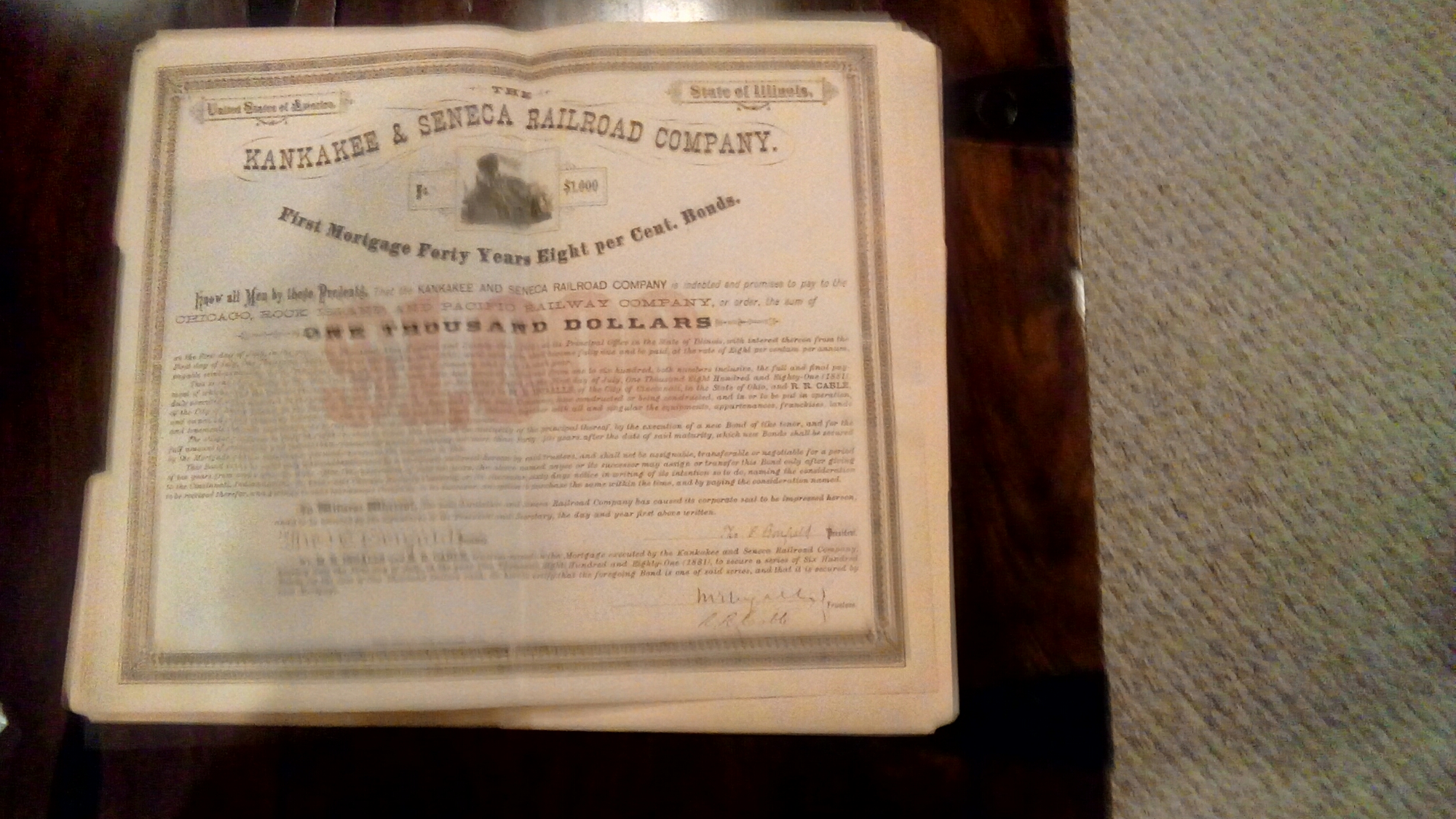
Bond Kankakee and Seneca R.R.


Train Station Kankakee and Seneca Railroad Bonfield, Ill This is a mixed passenger and freight train
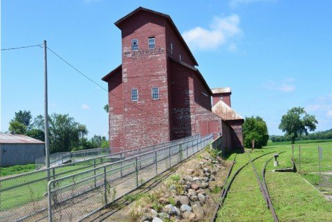
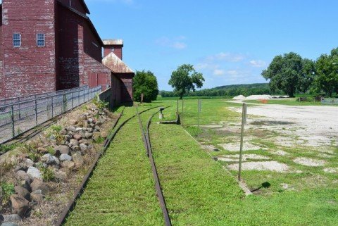
Hogan Grain Elevator; Kankakke and Seneca R.R. Tracks
Seneca, Illinois Kankakee and Seneca Railroad Tracks

Blue Line Marks the Course of the Kankakee and Seneca Rail Road
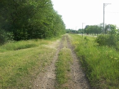
Track Bed Kankakee and Seneca R. R.
In 1881, the Chicago and Rock Island and the Cleveland, Cincinnati, Chicago and Saint Louis Rail Roads incorporated a joint venture to build a line between Kankakee and Seneca, Illinois. The K and S had its own crew and agents. Villages along the line included: Bonfield, Freilings, Union Hill, Coster, Gardner, Booth , Mazon, Wauponsee and Langham.
The K and S was a single track, standard gauge steam line. The track between Kankakee and Seneca was 42.2 miles. It also had a yard and side tracks totaling 6.7 miles. There were train stations in Bonfield, Essex, Gardner and Mazon. Only one of these still exists. This was at Bonfield. It was built in 1881. Its dimension were 50 feet in length; 20 feet wide; 16 feet high. There was a peaked roof. When the line ceased operations during the depression, the village sold the building to a local farmer. He moved it to his farm and used it a tool shed. The current owners of this farm offered the village the former train depot.
The K and S offered passenger and freight service. However, like many other businesses during the depression, it ceased operation and was abandoned on February 24, 1933. There is very little evidence of the existence of this train line.

Remnant of the K and S Line
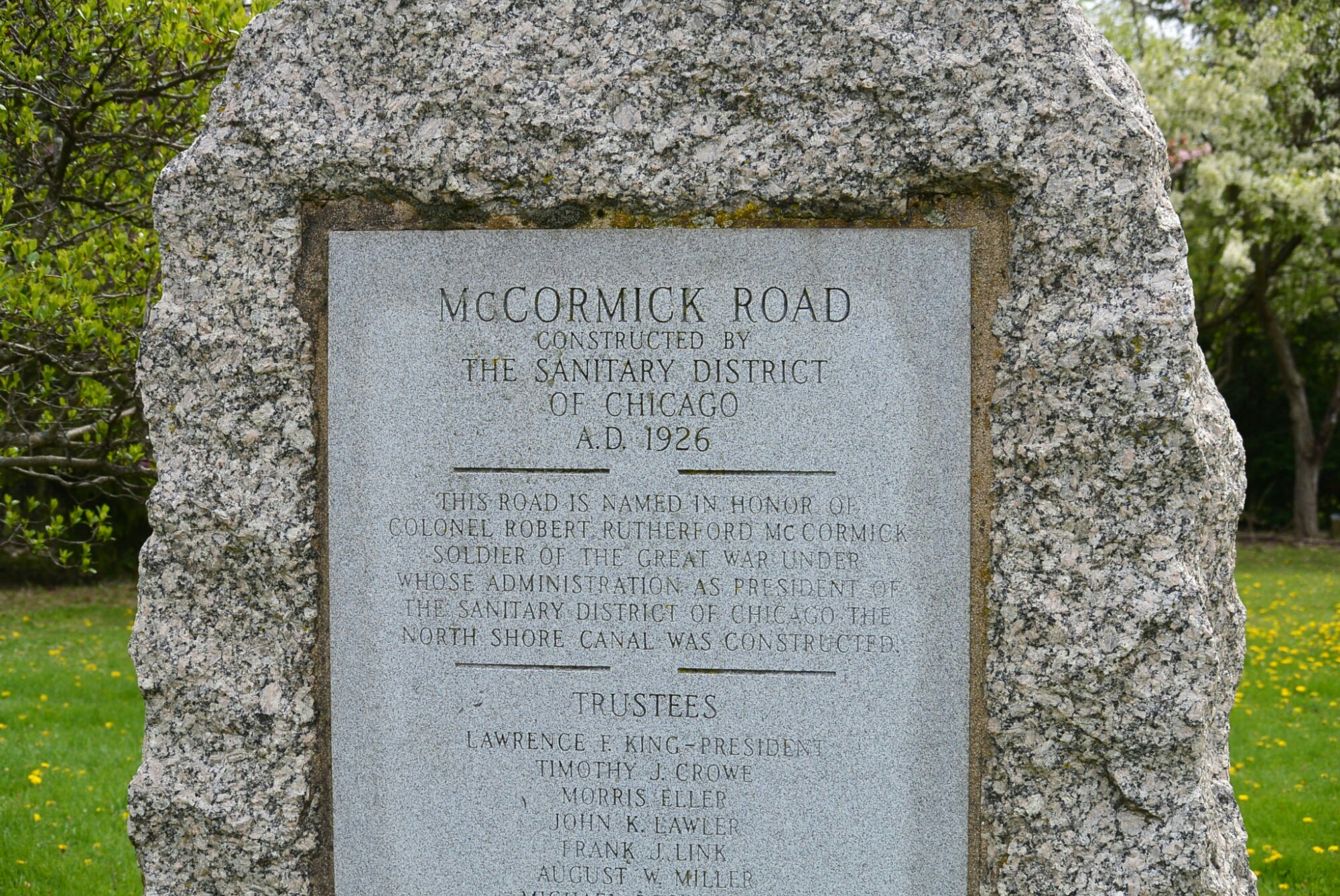
In order to maintain the water level on the Illinois Michigan Canal, the planners proposed a series of feeder canals. These included the Fox River Feeder, the Kankakee River Feeder, the DuPage River Feeder, and the Calumet River Feeder. The water level situation was aggravated by the failure to implement the deep cut on the Summit Division of the Canal.
The Calumet River Feeder was first proposed in 1830. A law passed in 1837 authorized the construction of the feeder canal. A survey of the canal route was started in 1845. After its completion, construction was begun in 1848. The canal was completed in 1849. It was 4 feet deep.
The feeder canal extended from the Little Calument River to the I and M Canal at the Sag Bridge in Lemont. It was 17 miles in length. It was 26 feet in width at the channel bottom and 40 feet at the surface. The footpath was on the North side.
There was a dam built at the Little Calumet River. Its purpose was to raise the water level to aid in filling the feeder canal. There were gates at the dam to raise and lower the water levels. The first canal boat traveled the feeder to Blue Island on July 22, 1849.
The feeder was in operation for approximately 20 years. It was abandoned by I an M Canal Commissioners in the 1870’s because it was no longer needed to supply water to the canal.
The dam on the Calumet River was a constant source of irritation to upstream farmers due to episodes of recurrent flooding. In March of 1874, the Illinois State Assembly passed An Act to Authorize Removal of the Feeder Dam Across the Calumet River Near Blue Island in the County of Cook, State of Illinis. In 1875, a group of farmers upset with the delay in implementing this act took matters into their own hands and blew up the dam.

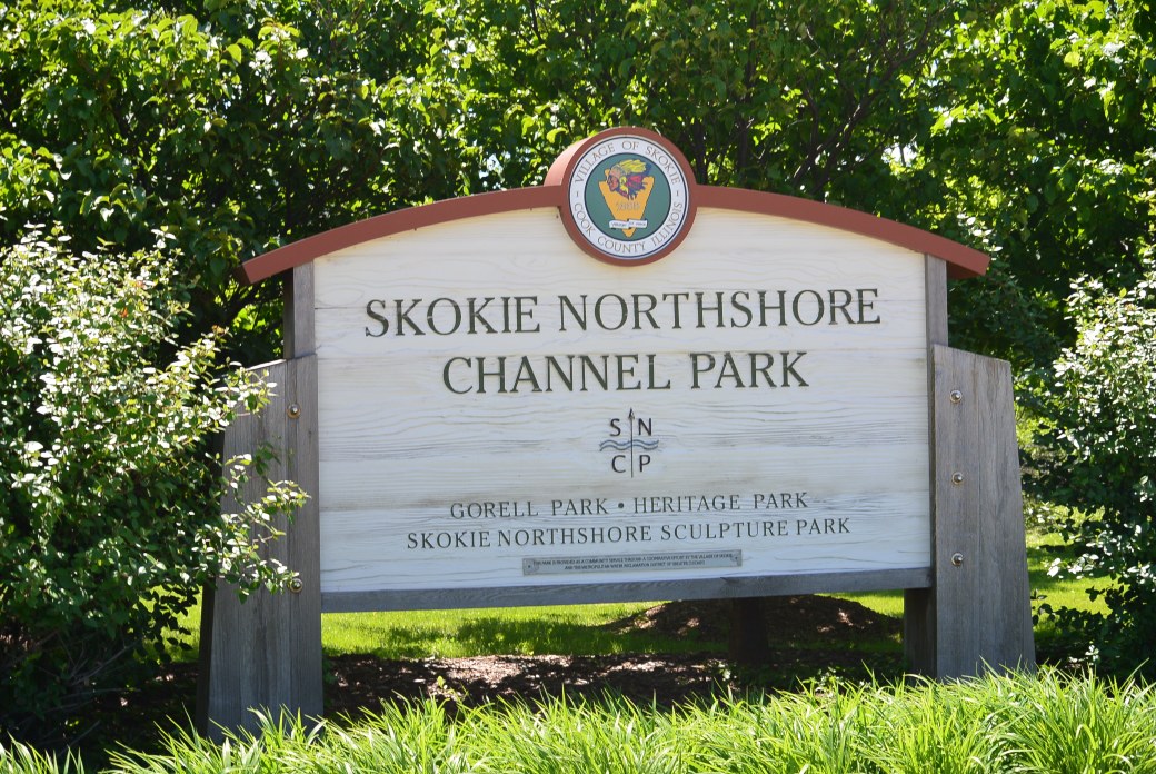
Signage at the Beginning of the North Shore Channel
The North Shore Channel is a man made canal. It was constructed between 1907 to 1910. It was built as part of a comprehensive plan for sewage disposal developed by the Metropolitan Sanitary District. It no longer serves this role. However, during periods of heavy rain, there is discharge into the channel.
It’s origin is at Wilmette Harbor. At the junction of the harbor and the channel, there is a gate which is designed to prevent water from backing up from the channel into the harbor and ultimately into Lake Michigan. When the water level rises in the channel, the gate is occasionally opened to lower the water level.
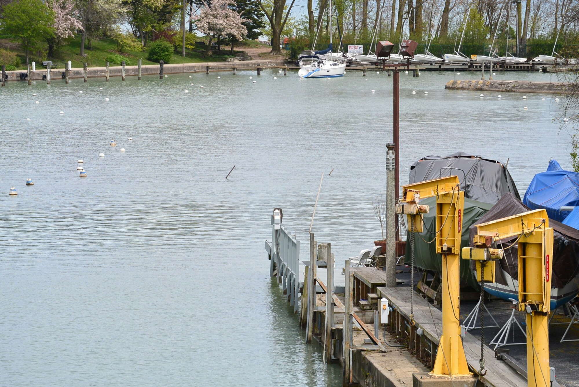
Wilmette Harbor
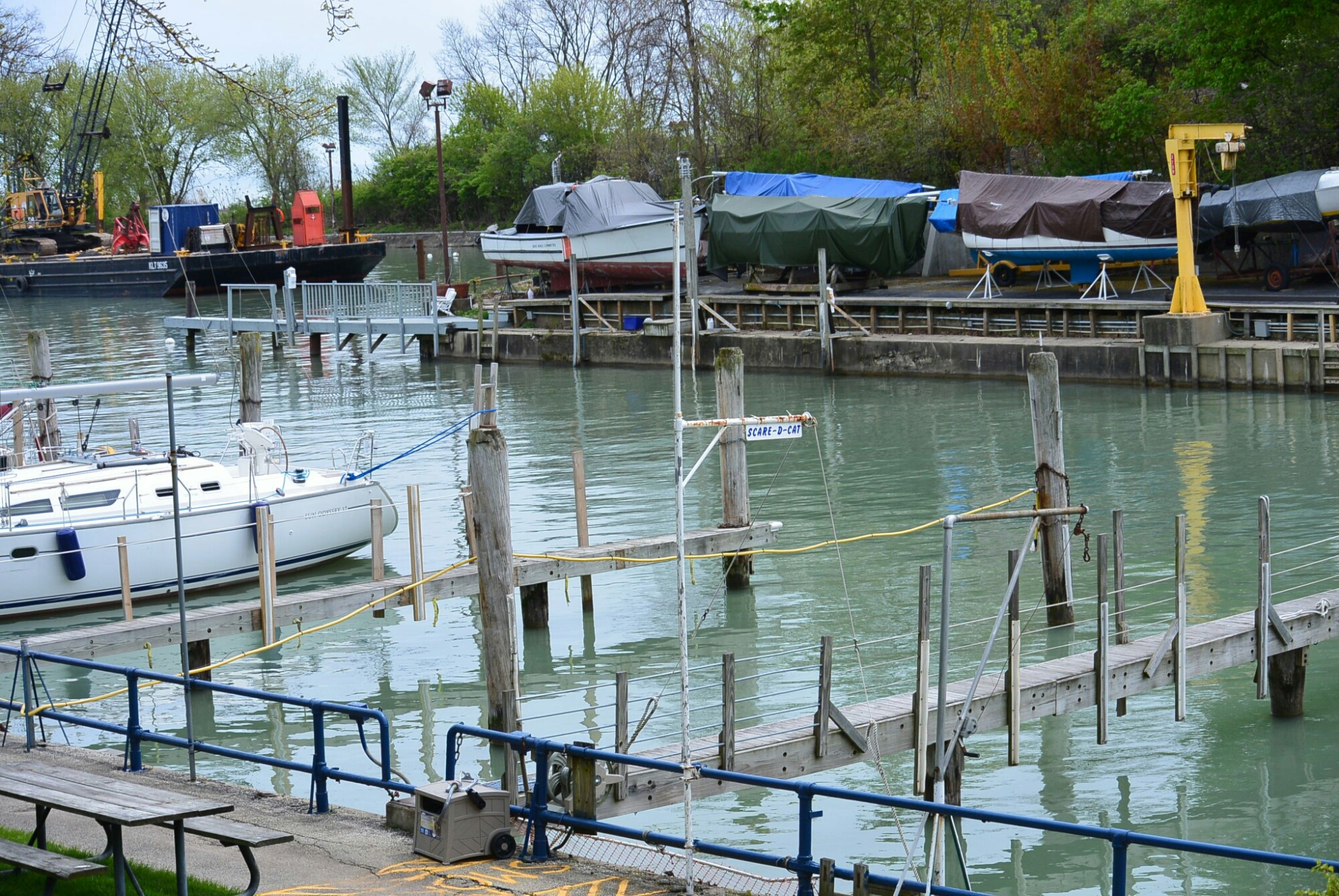
Wilmette Harbor
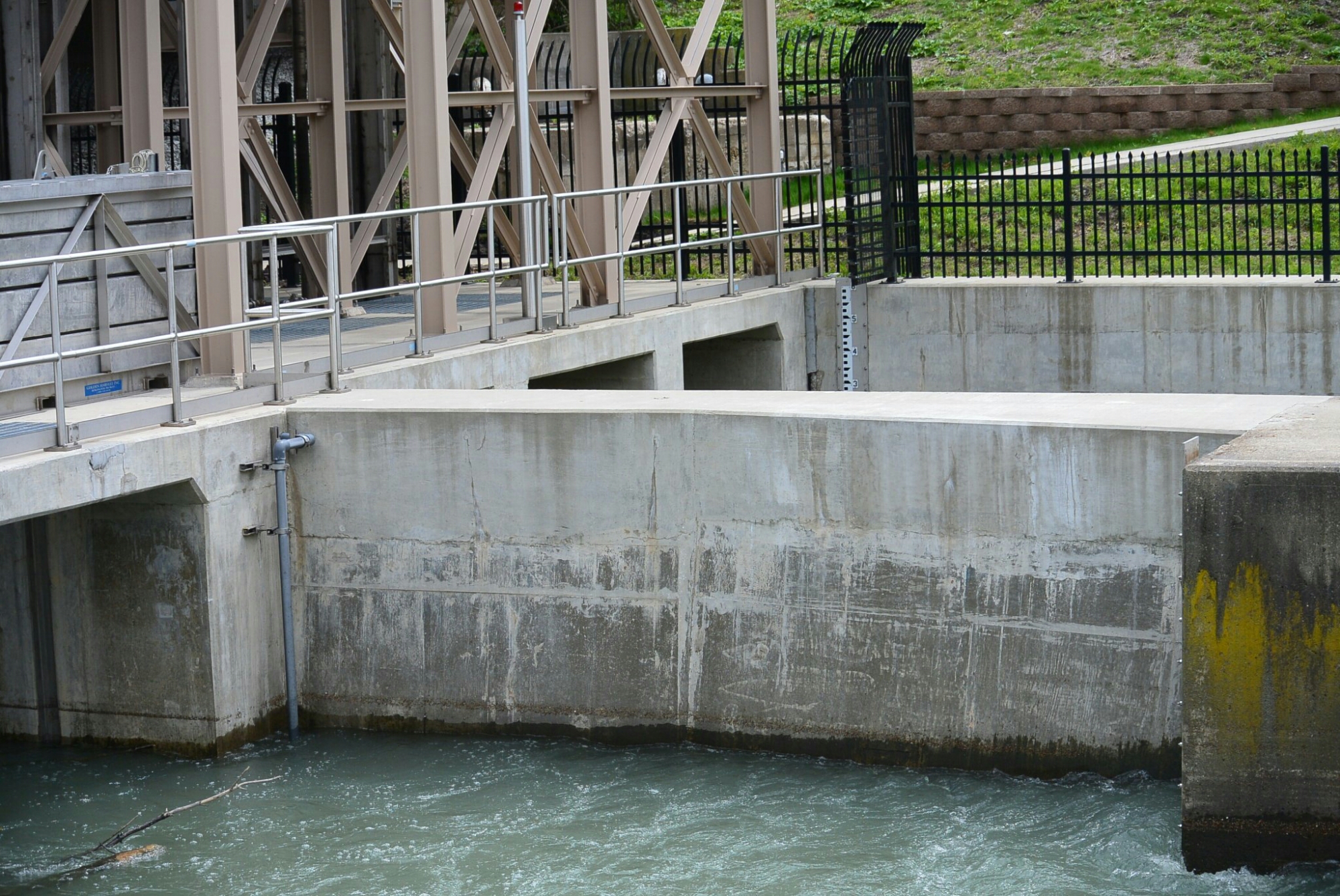
Control Gates at the Origin of the North Shore Channel
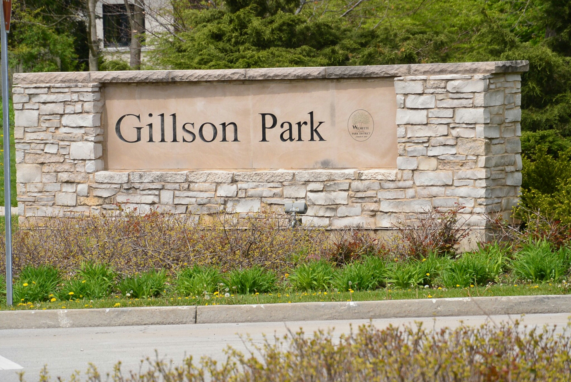
This Park was built with dirt from the channel construction.

The Bahai Temple is near the origin of the North Shore Channel
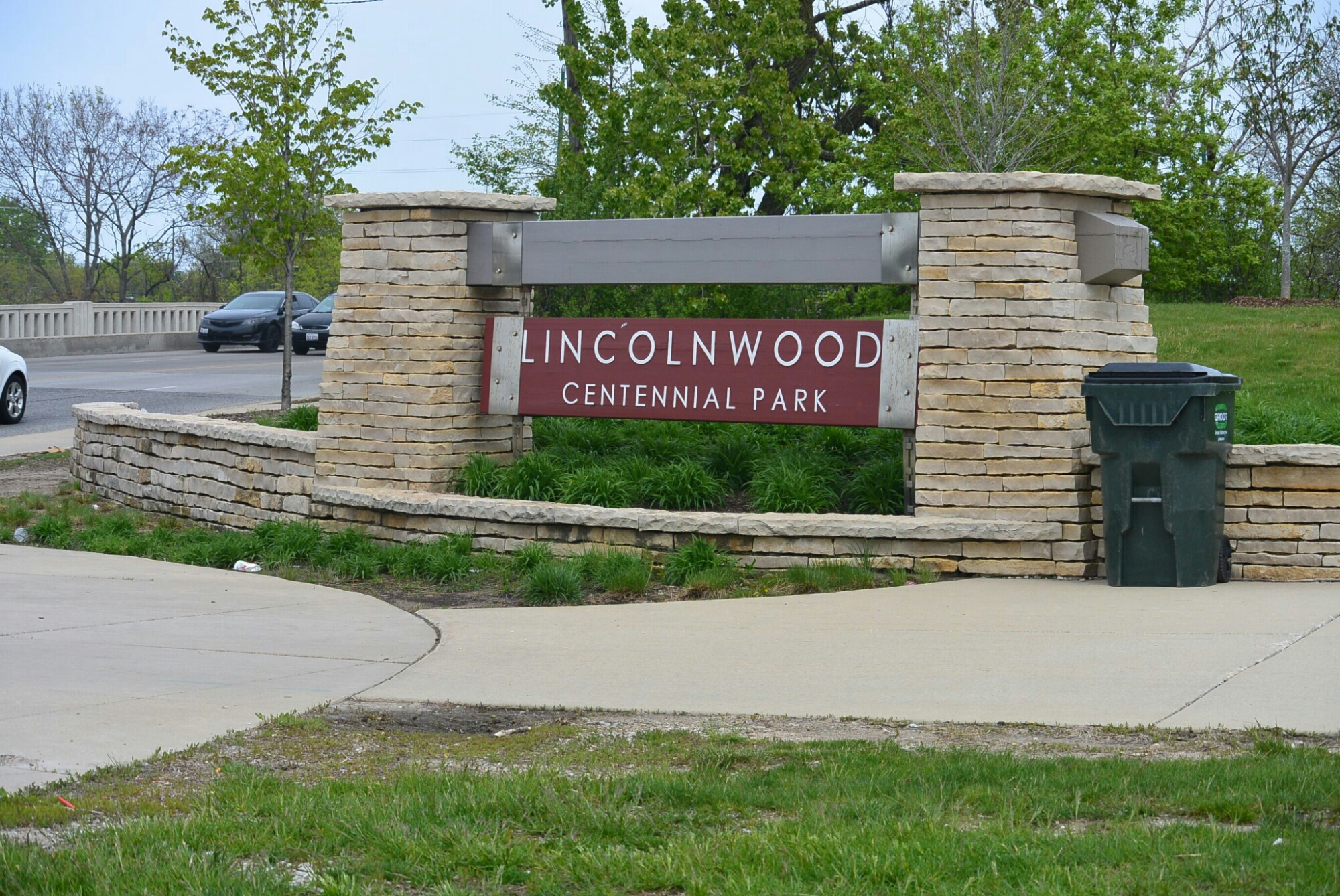
The depth of the channel varies from 7 to 10 feet. It is 7.7 miles in length. It flows south and west towards its junction with the North Branch of the Chicago River. It passes through Wilmette, Evanston, Skokie, Lincolnwood, and Chicago. In Wilmette and Evanston, there are golf courses adjacent to the channel. In Evanston, Skokie, Lincolnwood, and Chicago, there are parks along the canal.
North Shore Channel Evanston
North Shore Channel Evanston
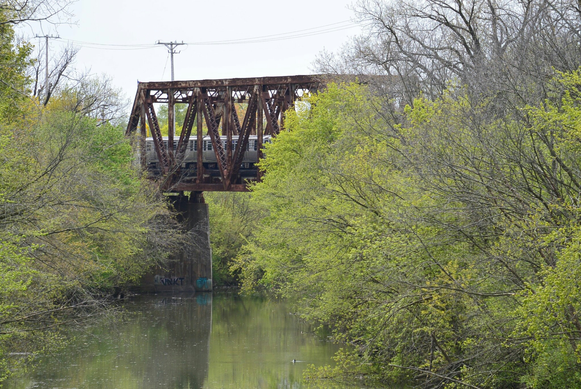
North Shore Channel. Evanston L Viaduct
Viaduct over North Shore Channel Evanston
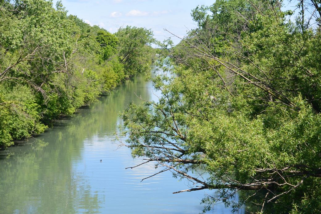
North Shore Channel Skokie
North Shore Channel Skokie
Park along the Channel
The North Shore Channel ends at River Park. At this region, the channel merges with the North Branch of the Chicago River. At this point, the river drops 4 and one half feet over a dam to merge with the channel.
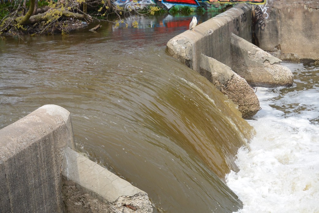
North Branch of the Chicago River over the dam
North Branch of the Chicago River
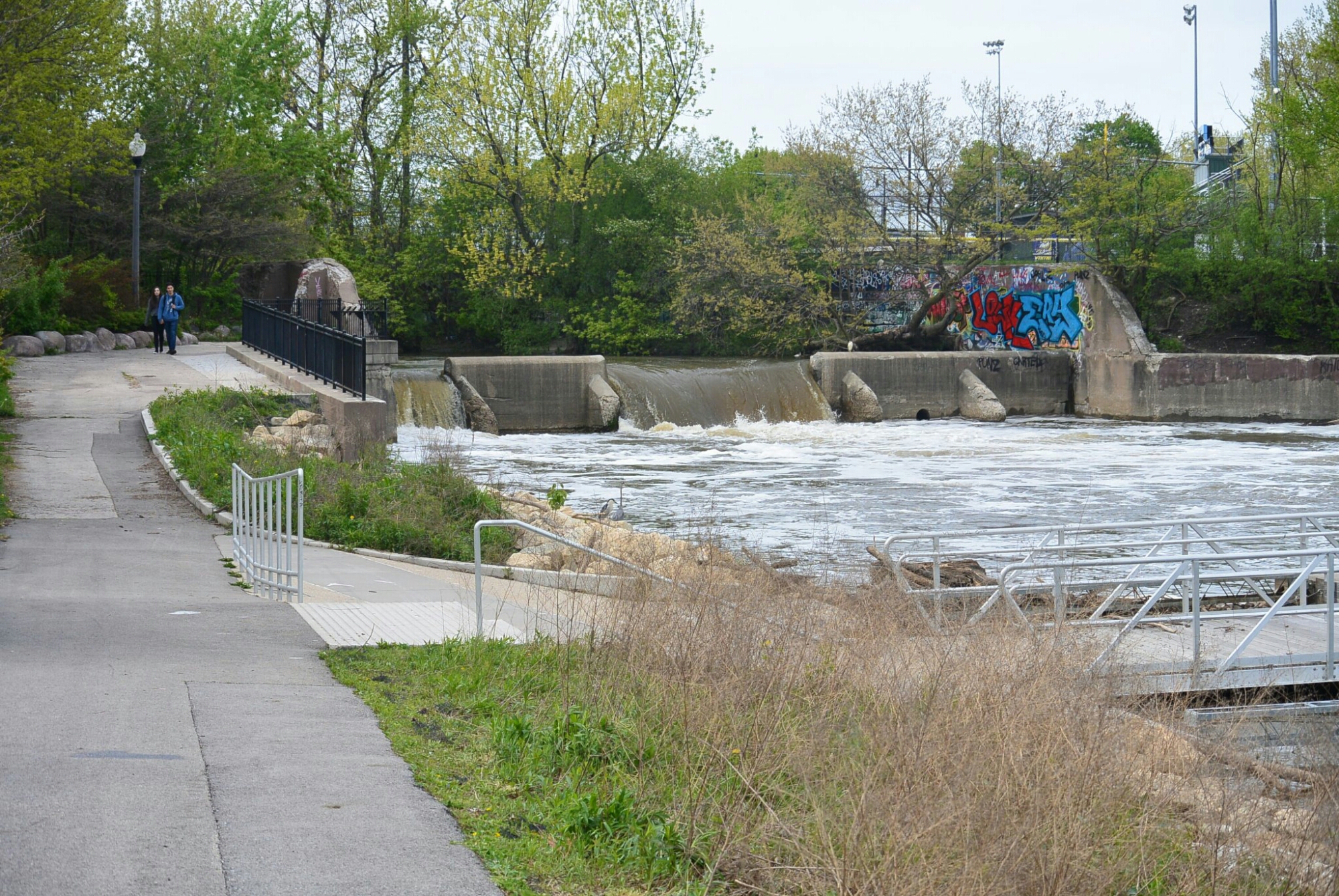
Dam at North Branch Chicago River
Merge of the North Shore Channel and the North Branch of the Chicago River.
Merging of the Canal and the Chicago River.
River Park is located at 5100 North Francisco in Chicago. It is approximately 30 acres. It is the largest of six parks developed by the River Park District in the early 1900’s. These parks are located along the North Shore Channel and the north branch of the Chicago River.
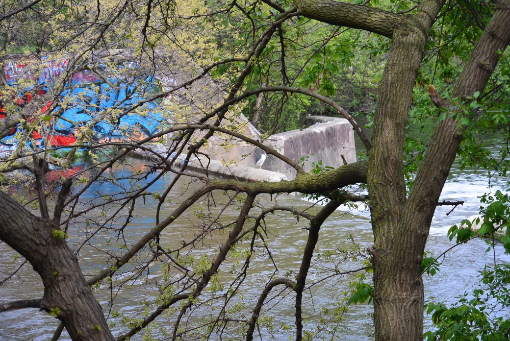
There is a diversity of wild life along the channel. A few examples are below

Geese
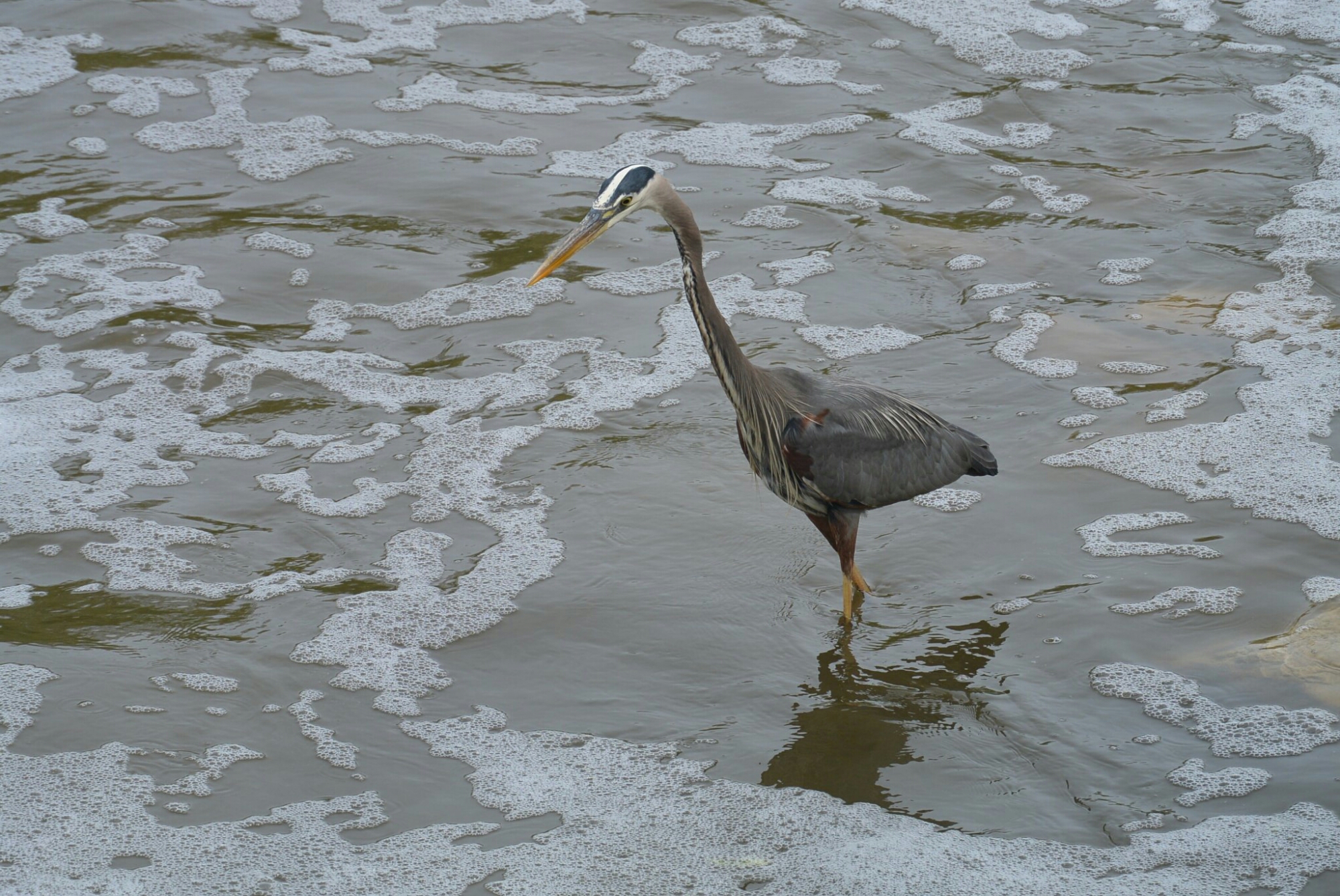
Great Blue Heron
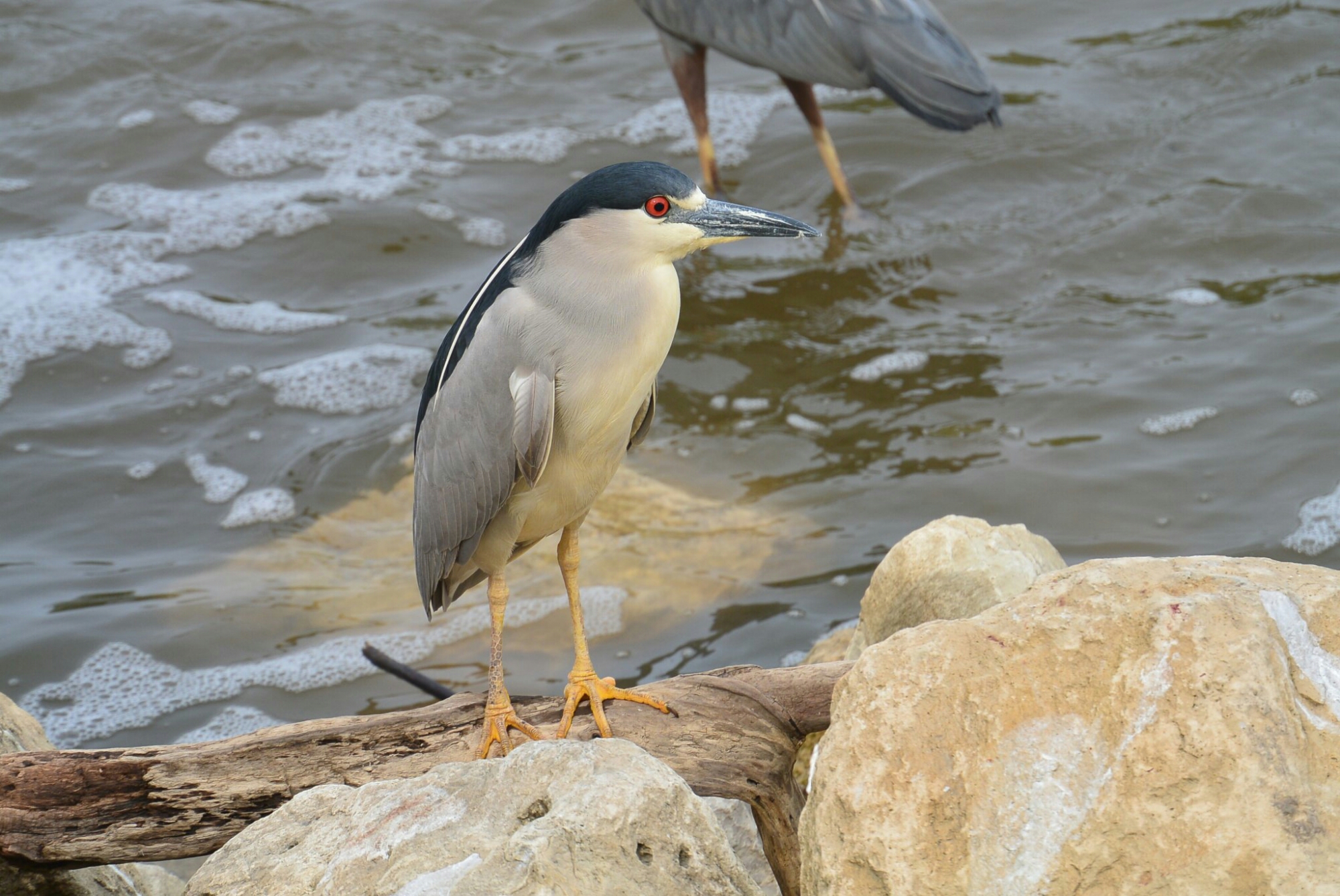
Black Crowned Night Heron
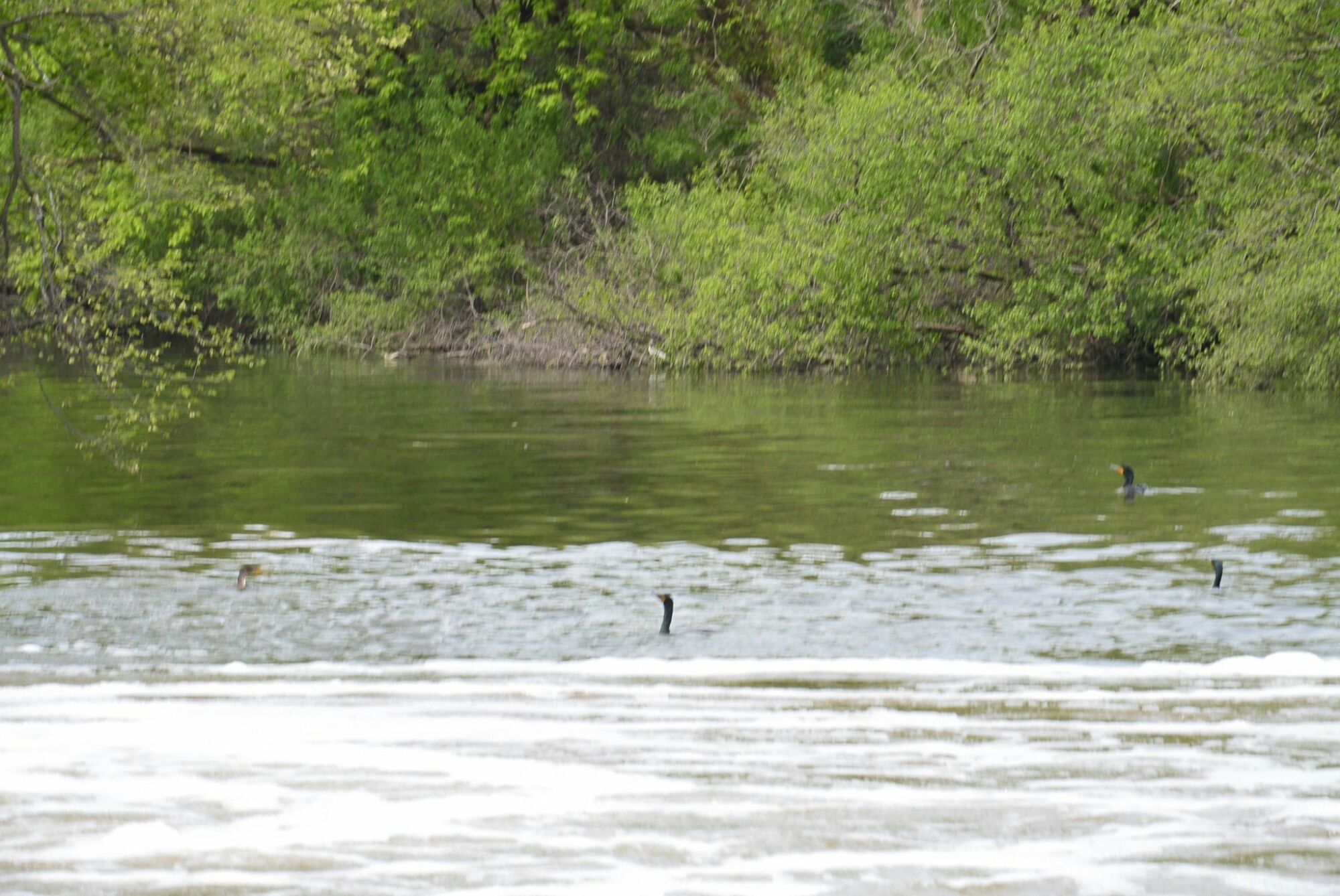
Cormorants

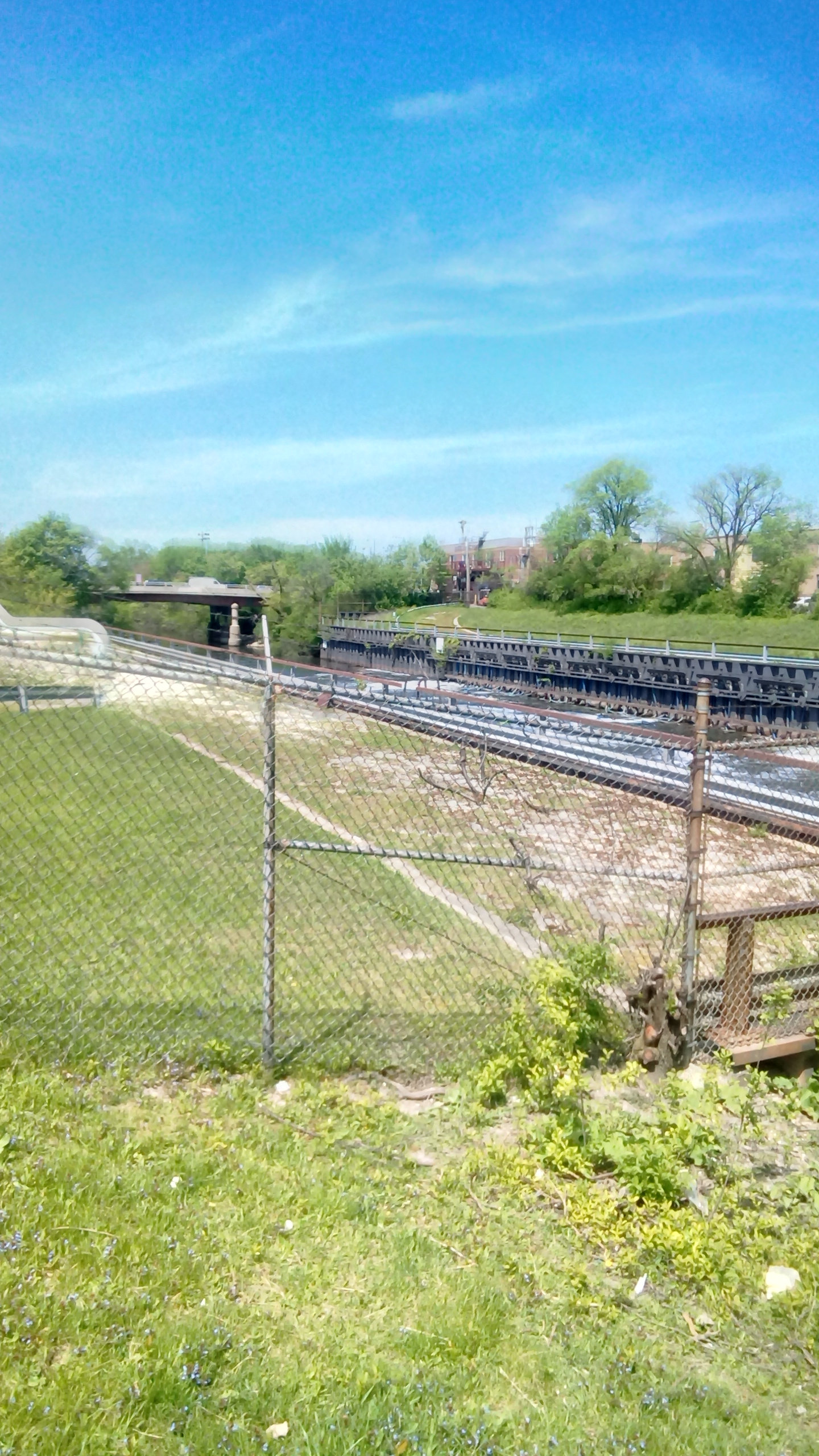
Lock 9
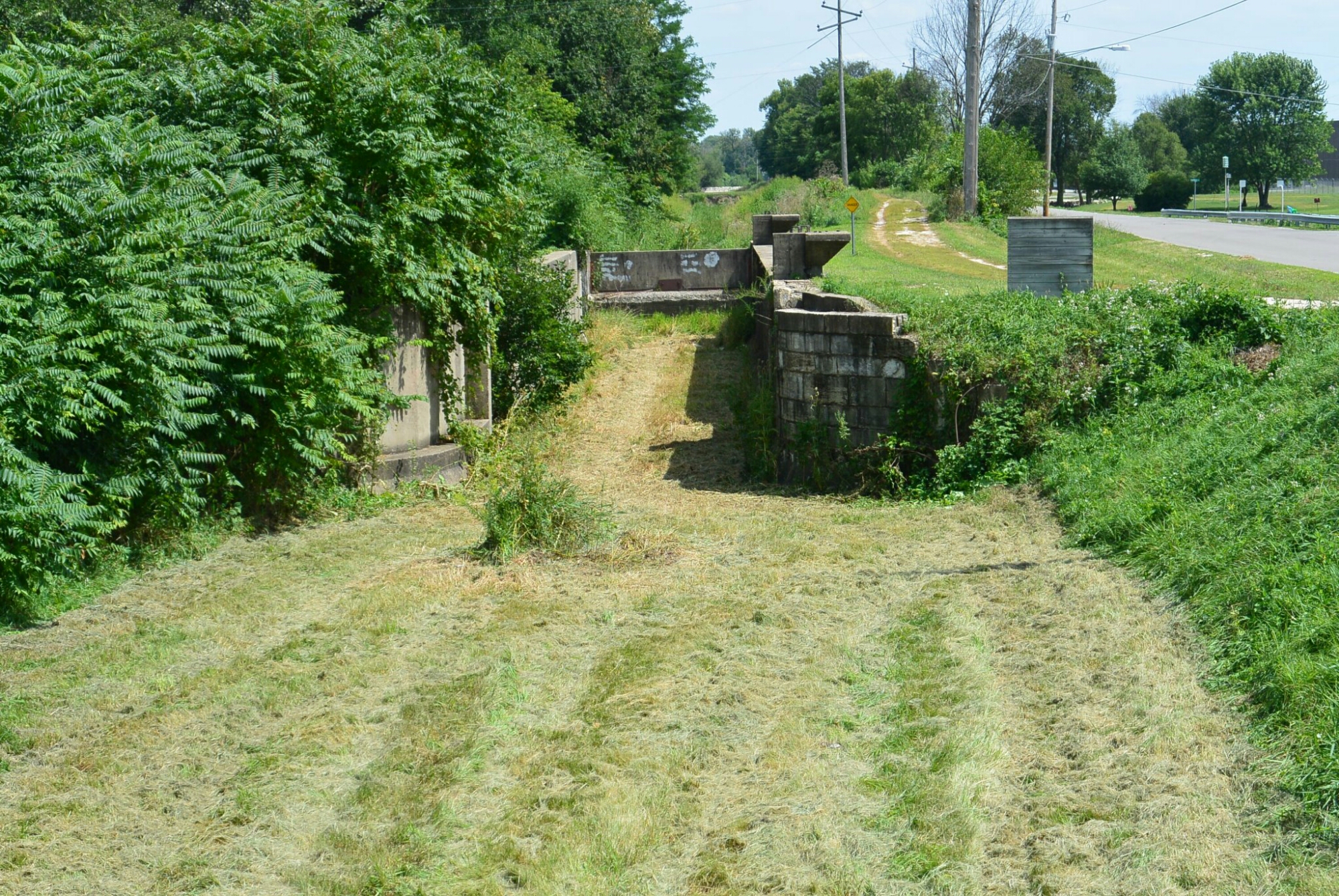
Current image of Lock 9
There are two locks on the Illinois Michigan Canal in Marseilles, Illinois. They are in close proximity. Both of these locks had lifts of 8.3 feet. The more eastern lock is number 9. Compared to Lock 10, not as much is known about this structure.
Because lock 9 likely followed the design developed by William Gooding and Benjamin Wright for the I and M Canal, its dimensions were 110 feet in length and 18 feet in width. The gates of the lock were made of timber. The exact date of construction is not known. But since 10 was constructed in the 1840’s, it is presumed that it was built in this time frame. The material of the original construction of the walls is unknown. Lock 10 was originally constructed of sandstone. Probably a similar material was used on Lock 9. The current state of Lock 9 is concrete walls, no gates and no water in the lock.

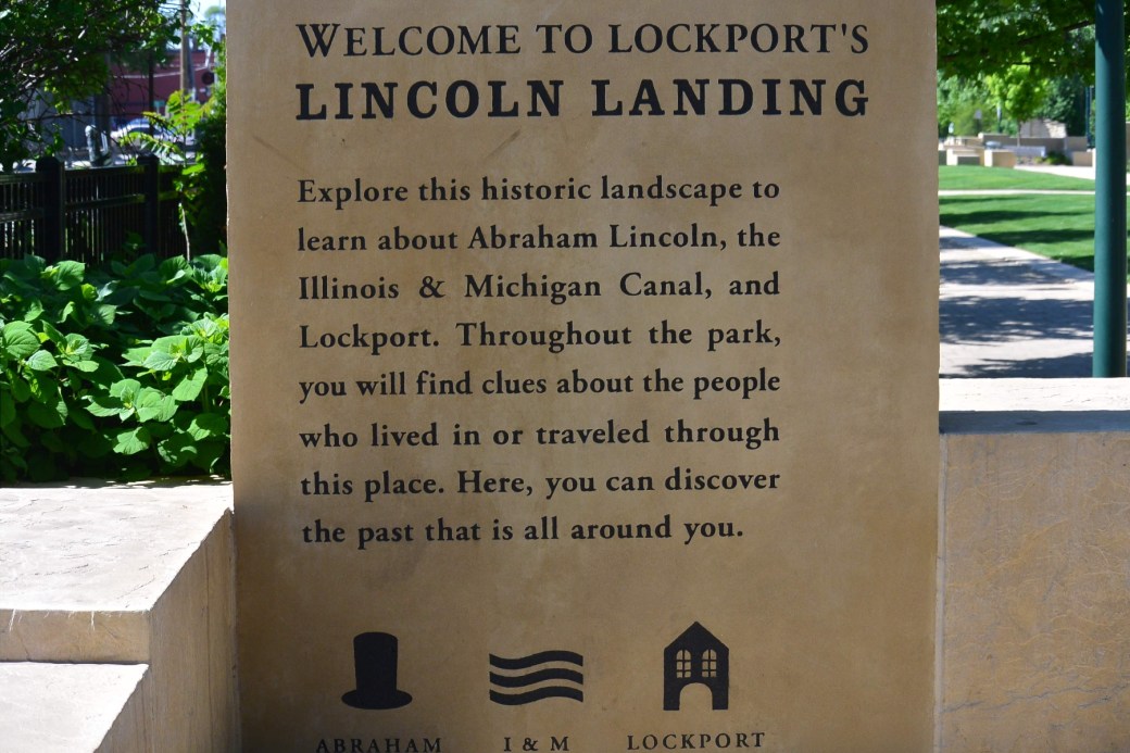
Public Landing Pioneer Village
In the 1830’s, the village of Lockport was platted by commissioners of the I and M Canal. An area extending from 8th to 10th Street and Commerce Street and the canal was set aside as the Public Landing Area. This was a busy area where wagons with grain sold their product to waiting canal boats. This area now is composed of a parking lot and a park.

Public Landing Lockport
Park in Lockport at the Previous site of the Public Landing
Emblem in Park in Lockport along the I and M Canal
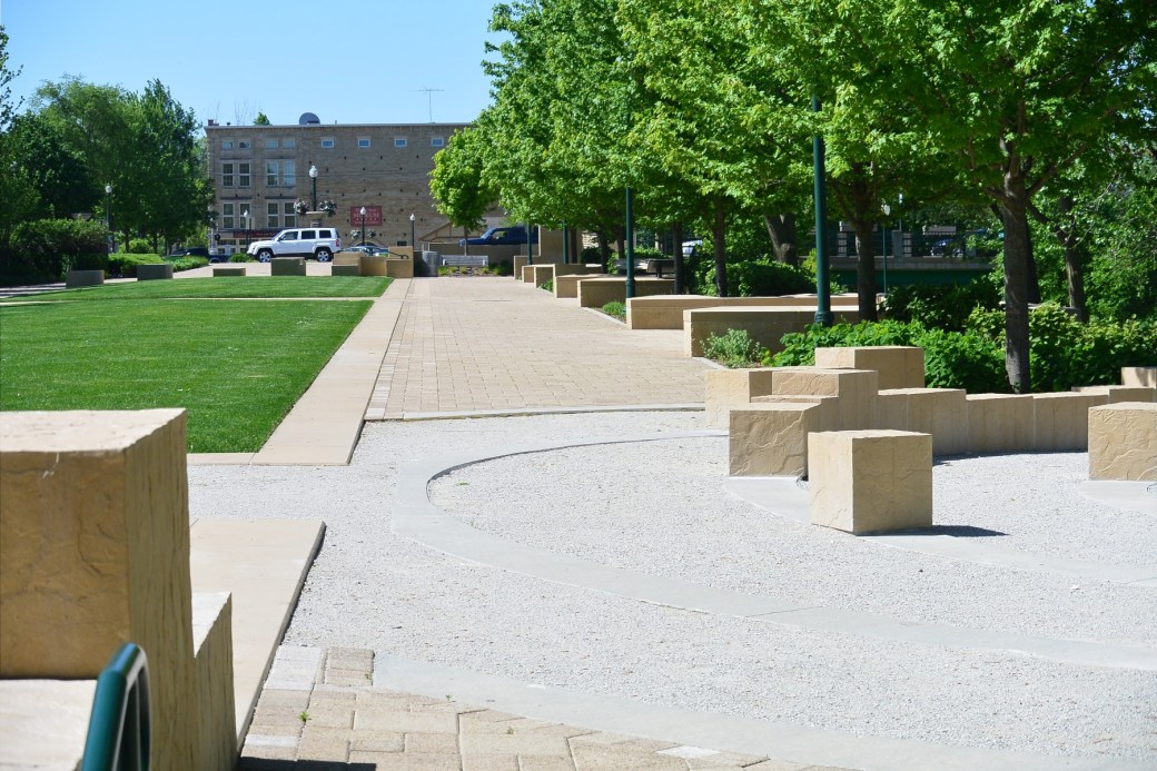
Park at the former site of the Public Landing Lockport
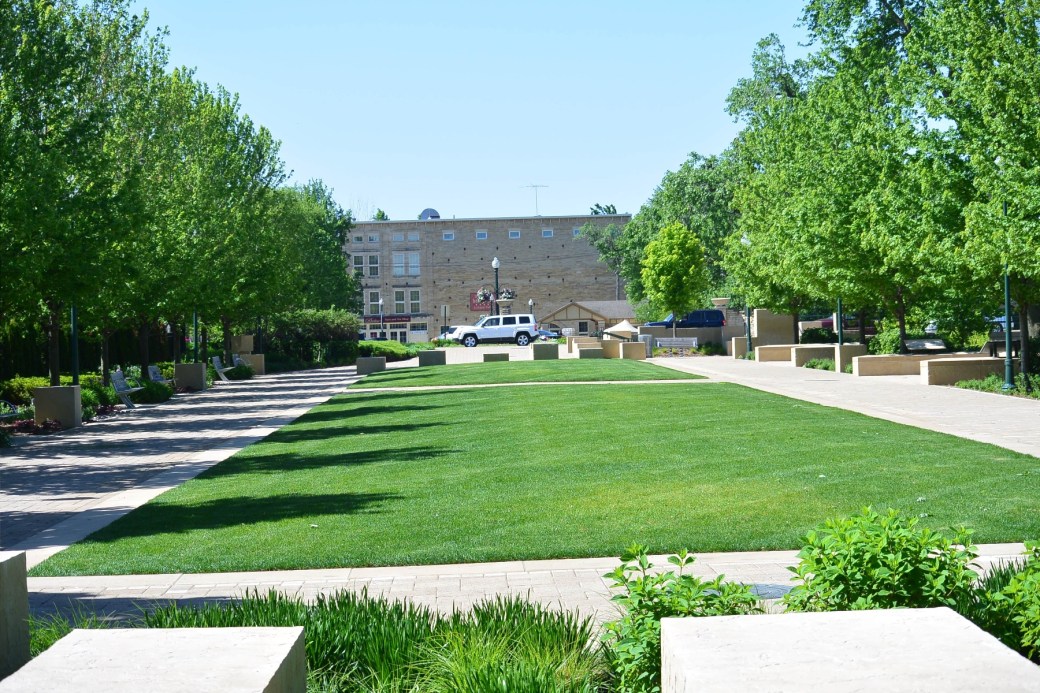
Park at the former site of the pubic landing Lockport, Il.
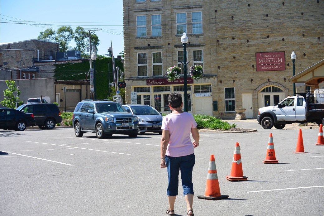
Parking Lot at the former site of the Public Landing Lockport, Il.
Former Site of the Public Landing Lockport, Il
