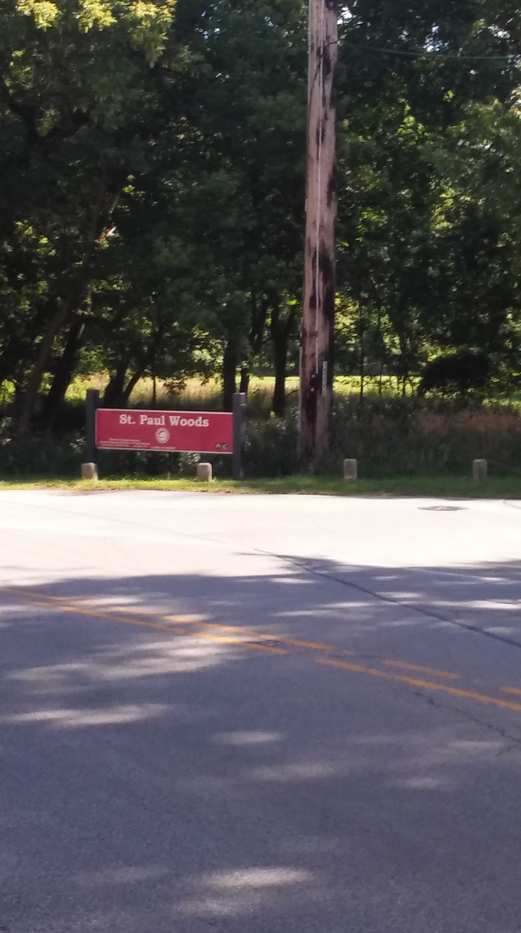
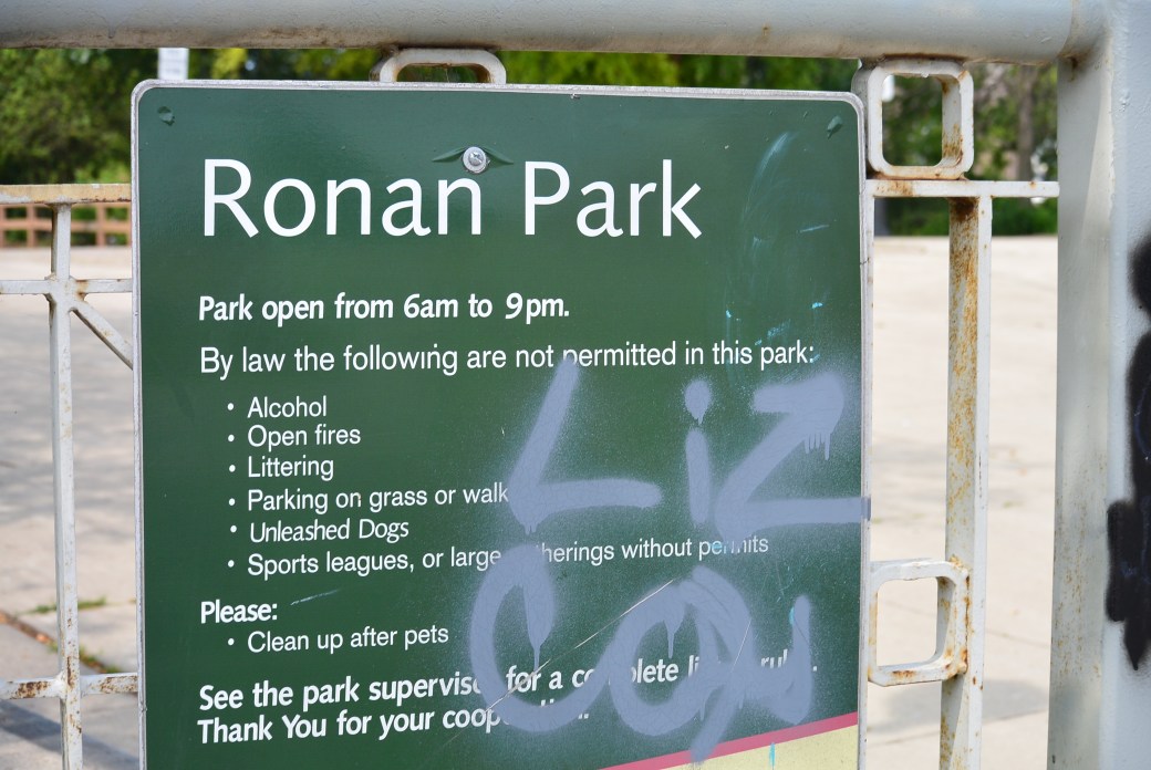
Horner Park is one of the largest Chicago parks. It is 55 acres. It is located on the northwest side between Irving Park Rd. and Montrose Avenue. It borders the North Branch of the Chicago River.
During the 1900’s, this area developed rapidly. Residences and industry grew along the North Branch of the Chicago River. A large brick manufacturing plant was located here as well. Excavations were made in the area to obtain clay for the plant. Several years later, this plant was abandoned. It was used as a garbage dump site. Local residents lobbied to have the zoning of this area changed from industrial. They were successful in this endeavor.
In 1946, the city of Chicago began a 10 year plan to acquire this 55 acre site. In 1949, The brick kilns and other industrial structures were demolished. The area was filled in and graded.
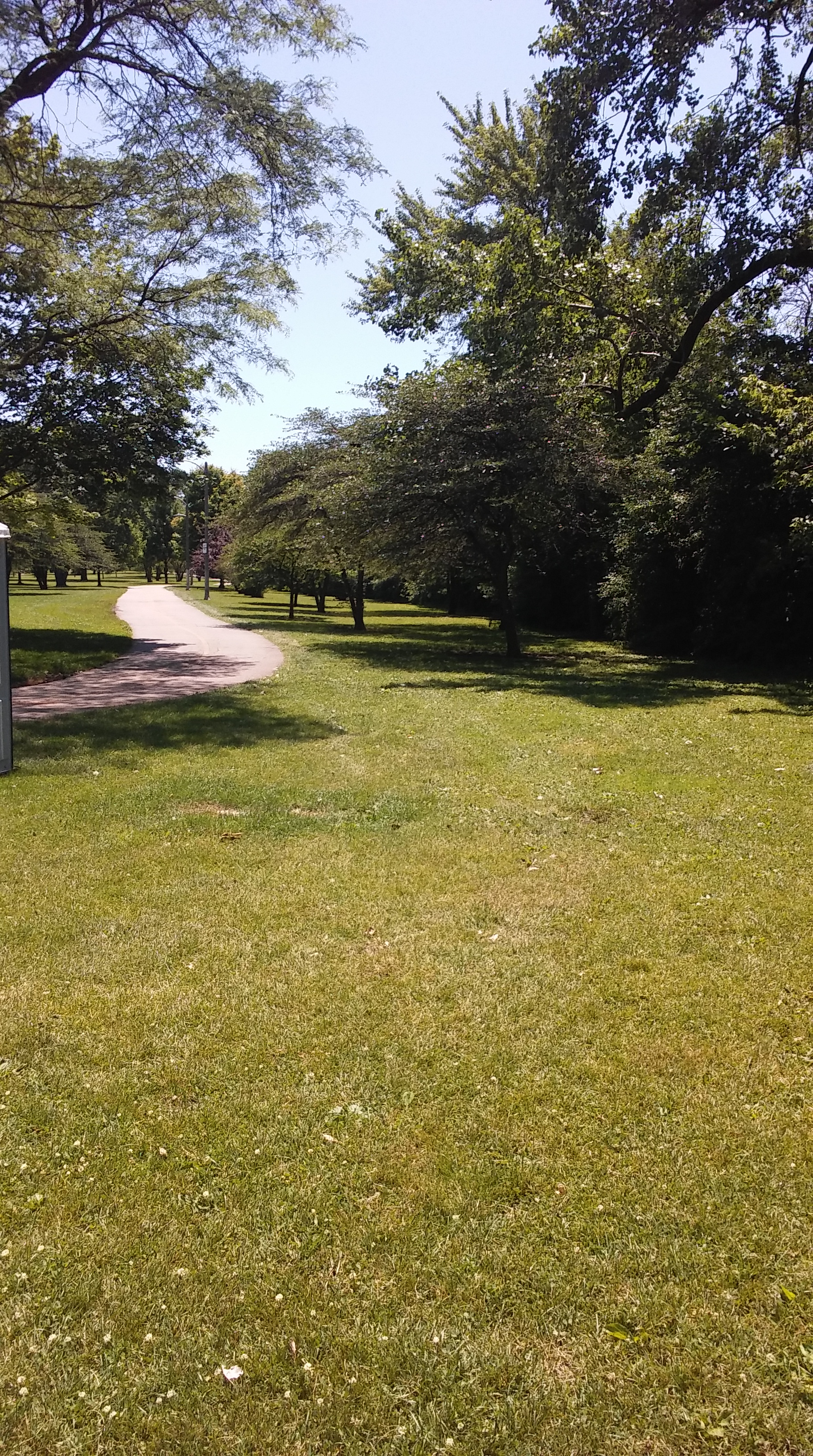
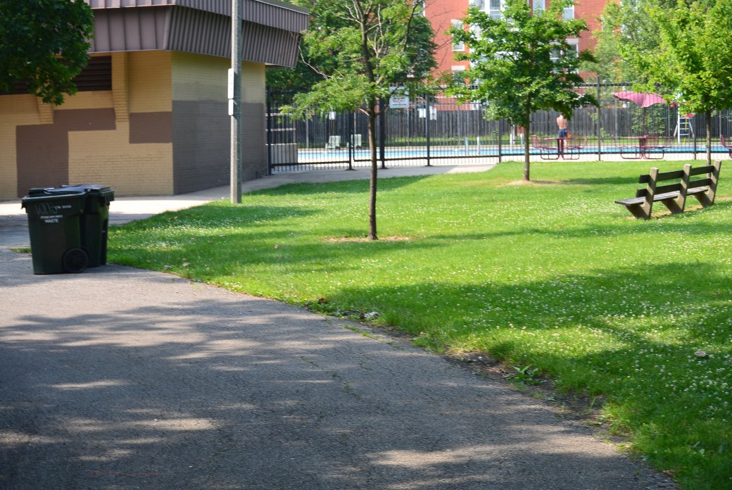
Additions included toboggan hill, tennis courts, playgrounds, field house, and handball courts.
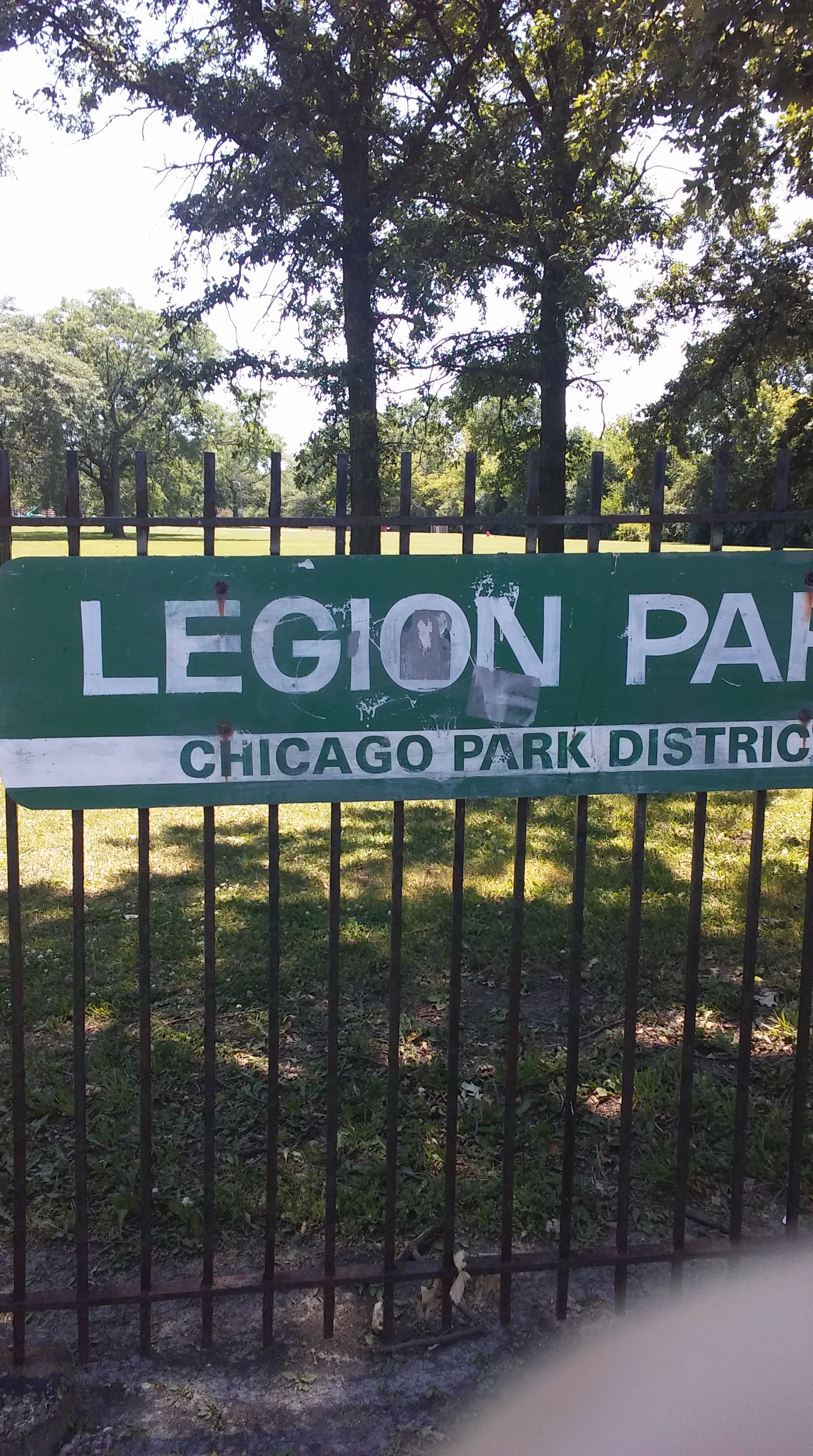
Park was named after Henry Horner who was an Illinois governor from 1933-1940.
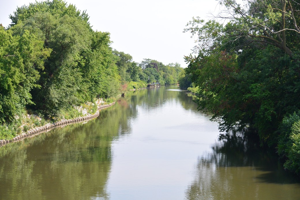
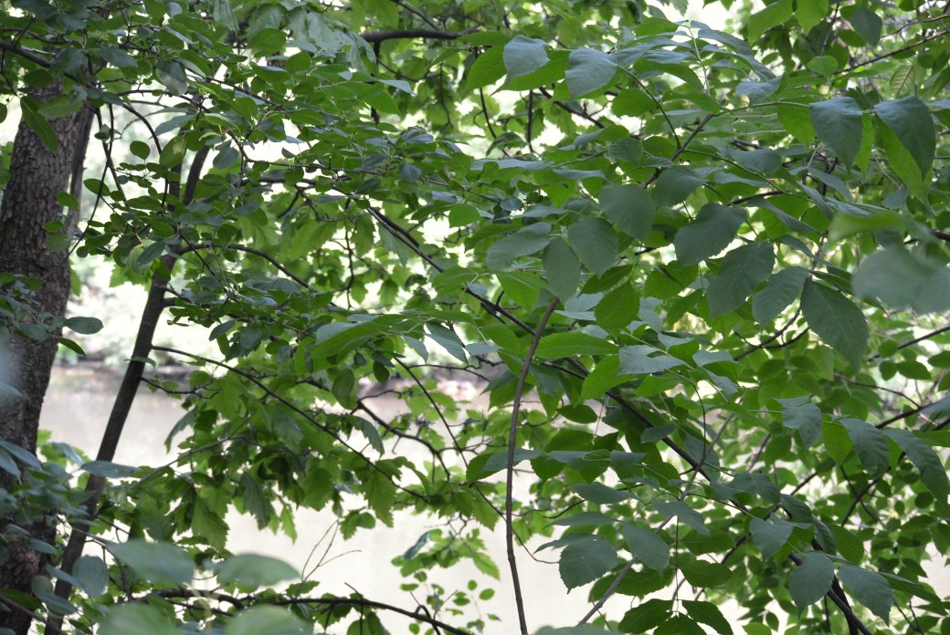
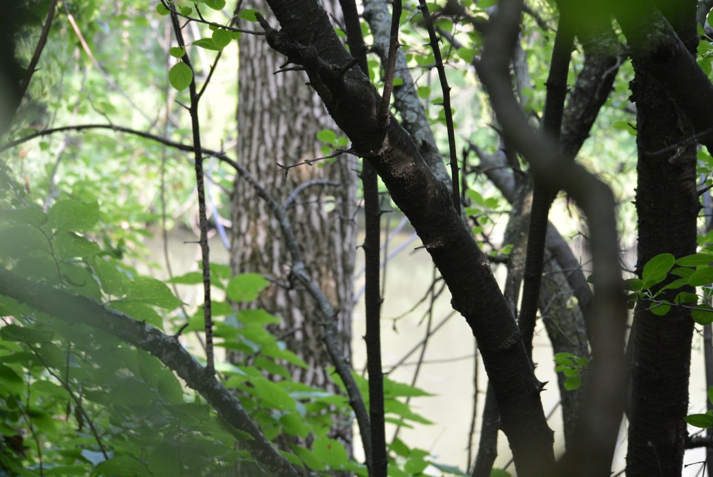
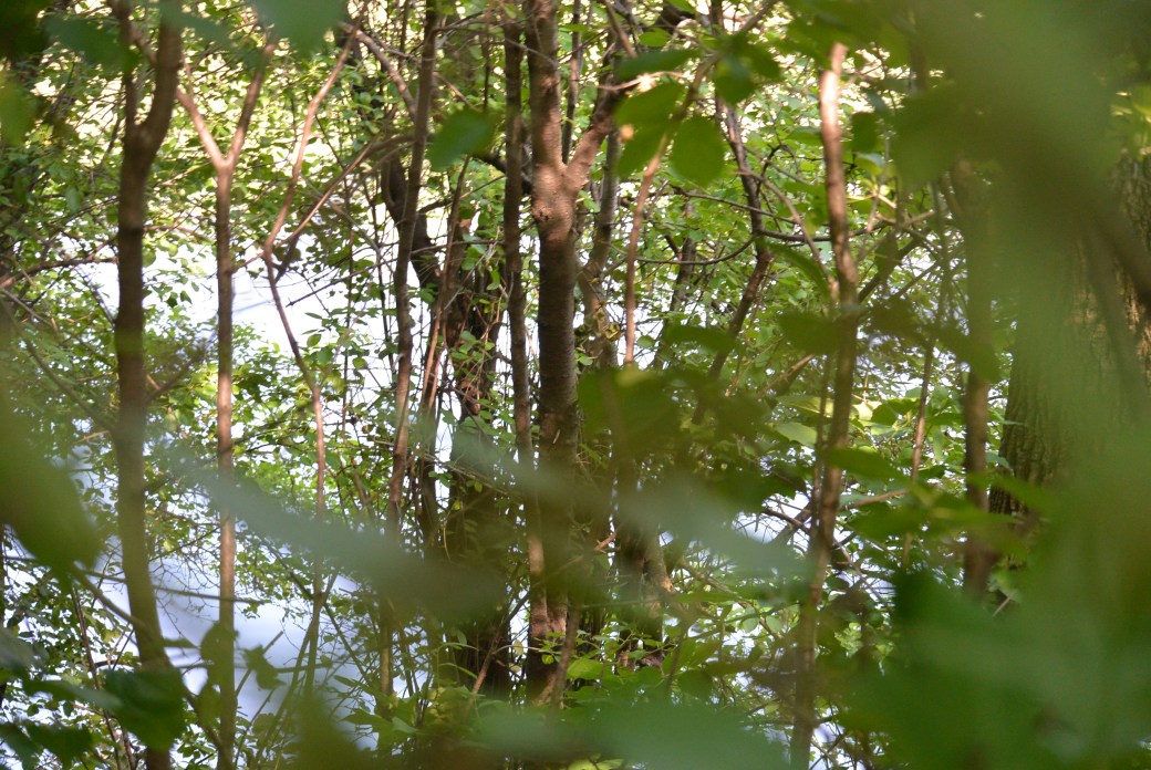
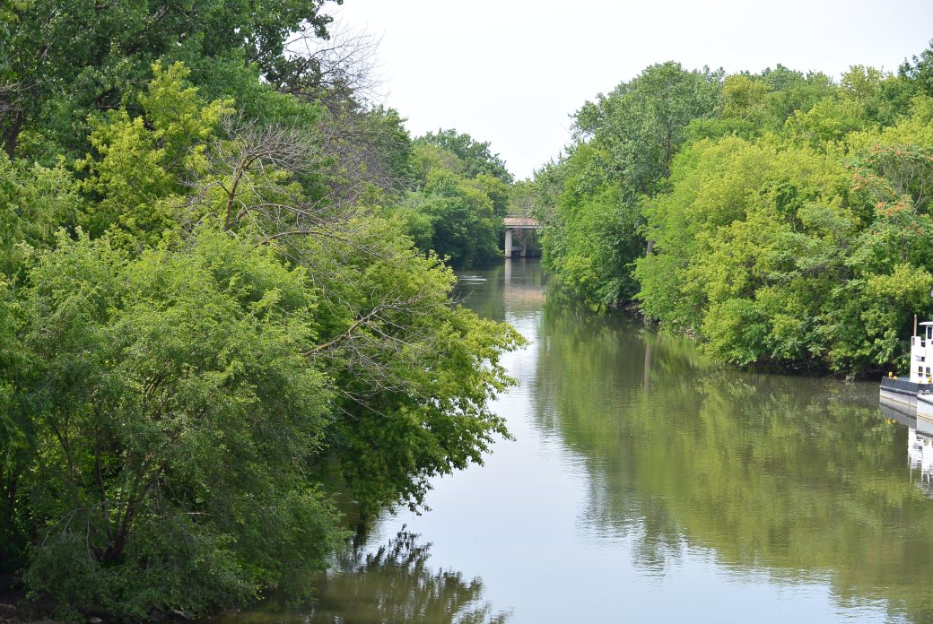
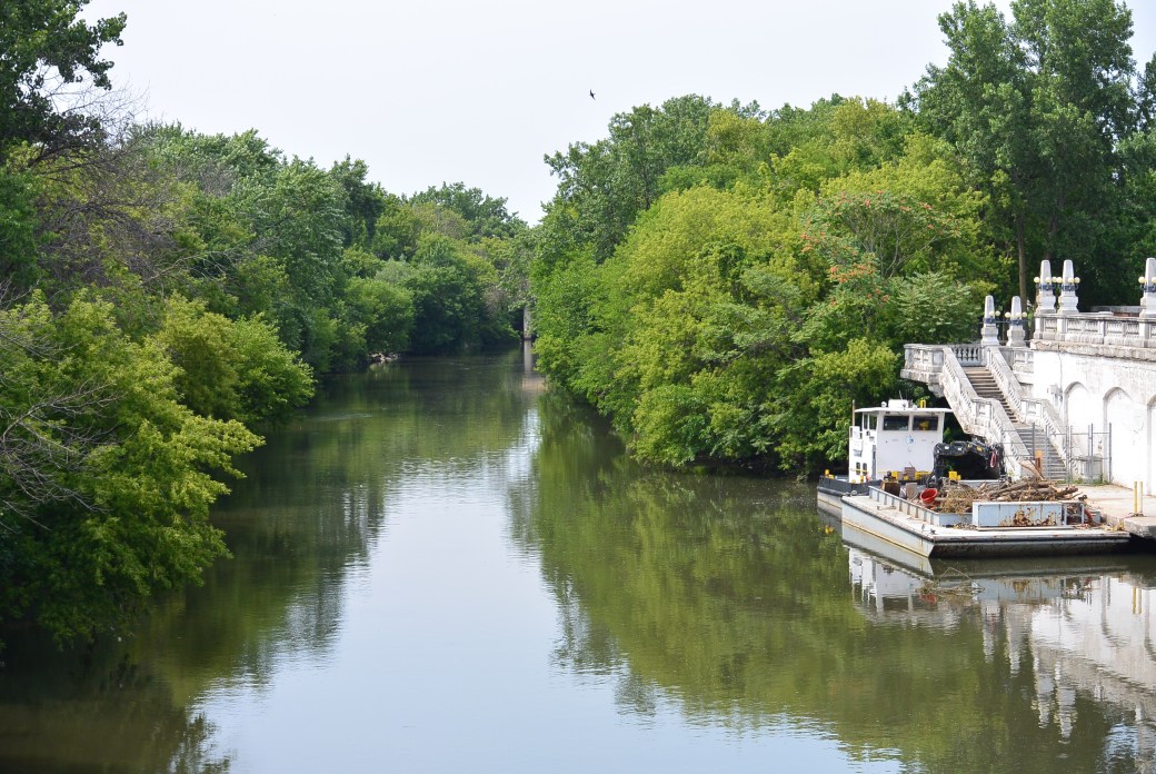
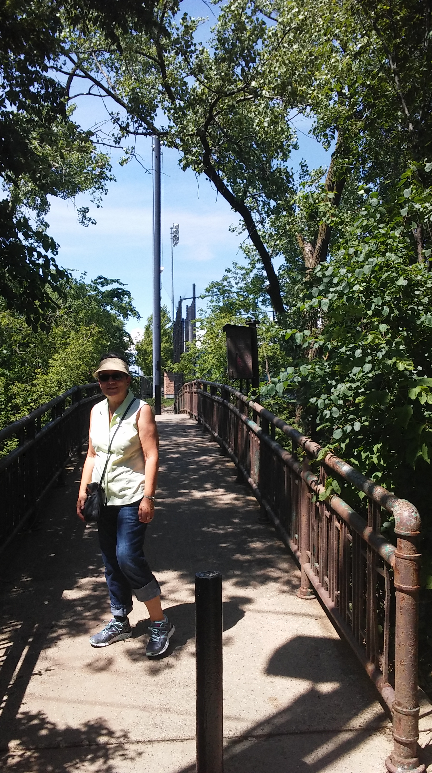
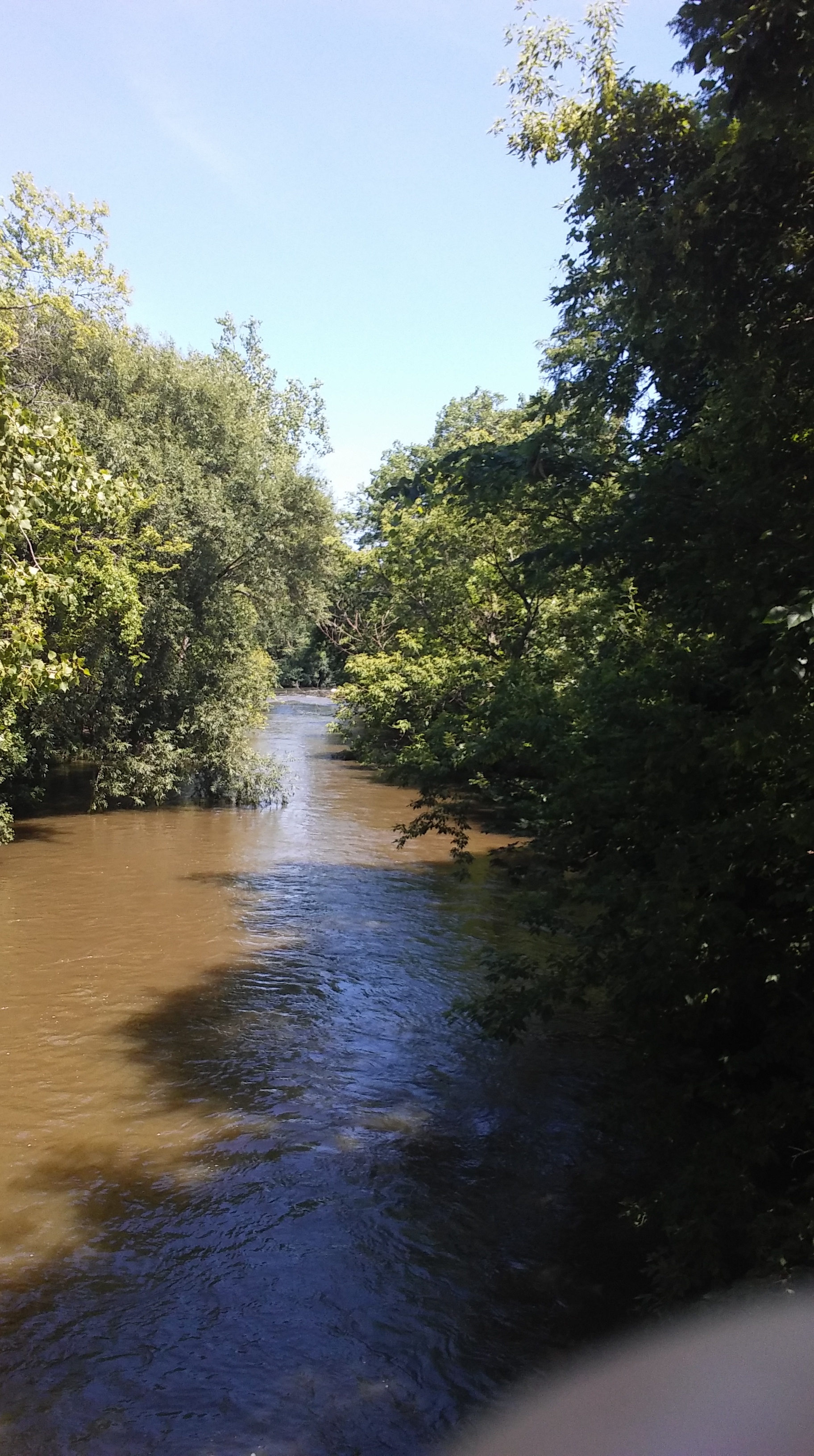
Due to the dense growth about the river, it can only be seen at the bridges at Montrose and Irving Park.
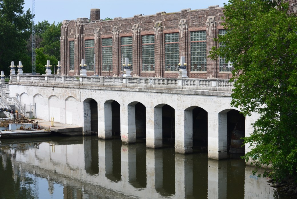
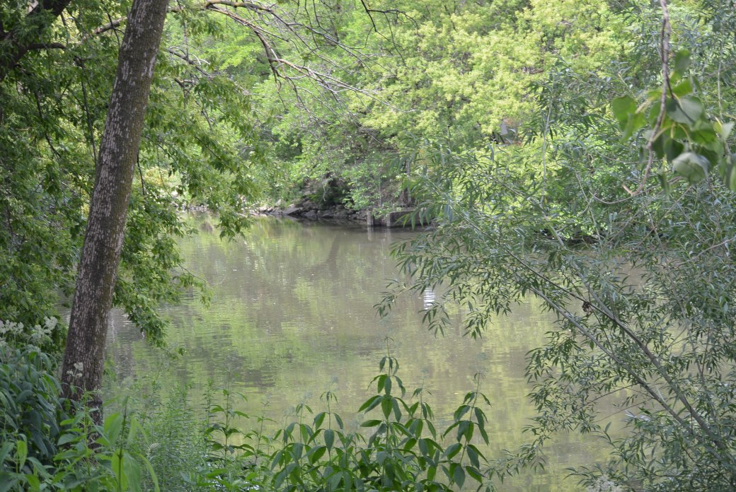
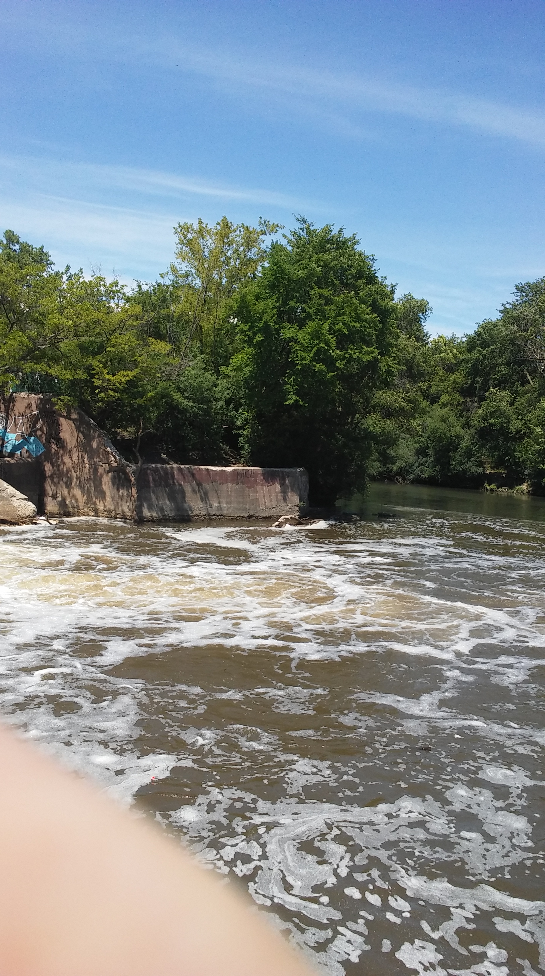
Area of North Branch Chicago River Horner Park
Area of North Branch of Chicago River Horner Park
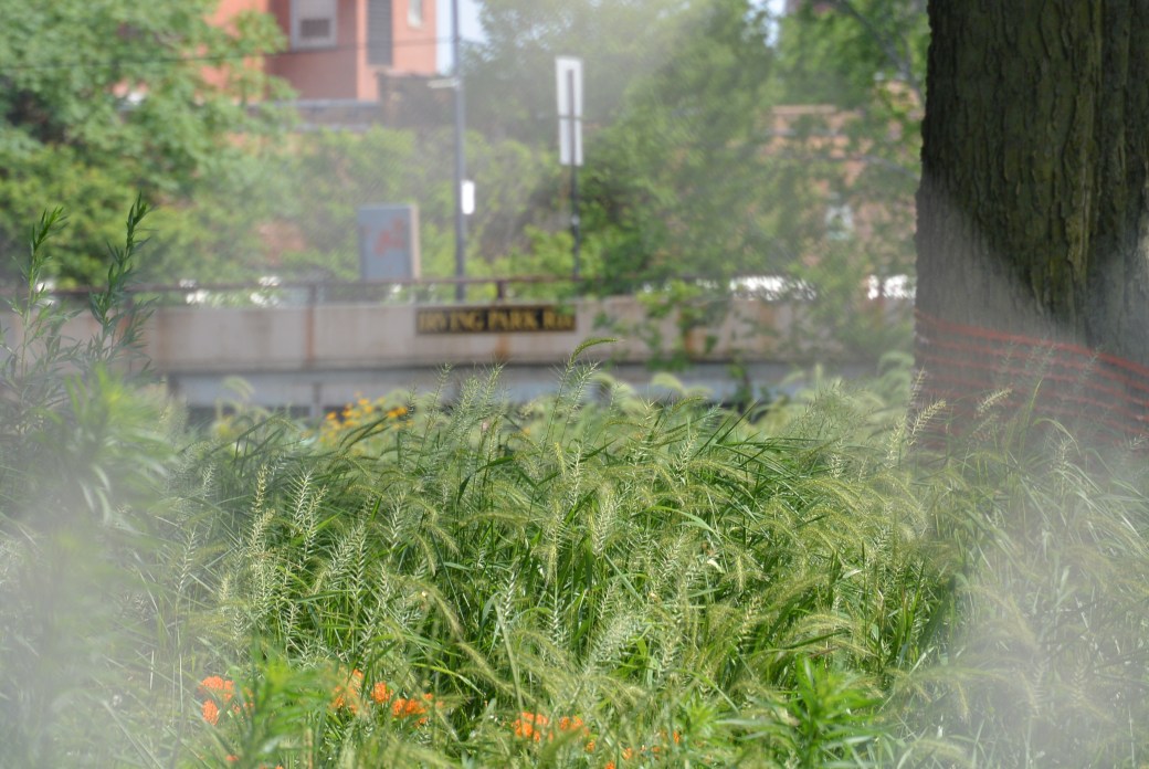
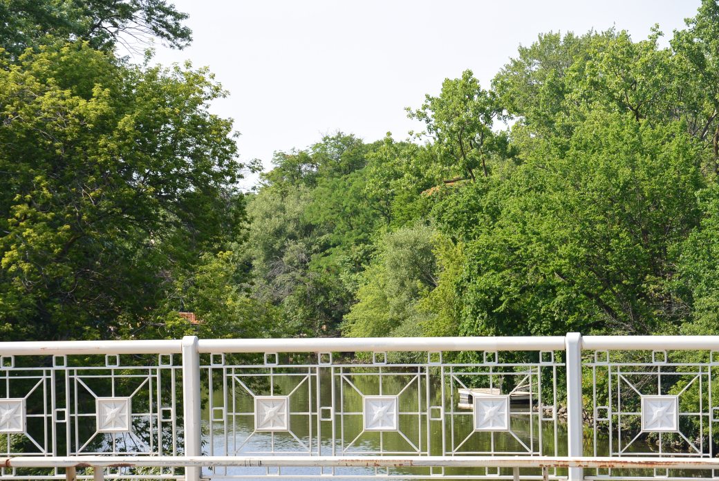
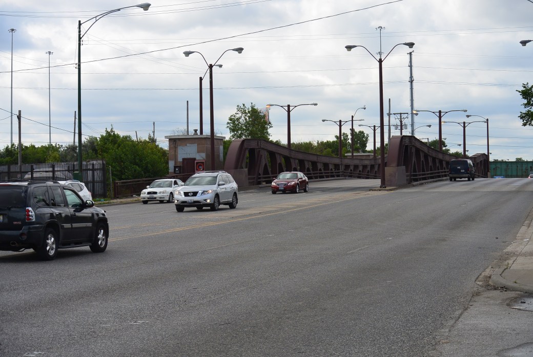
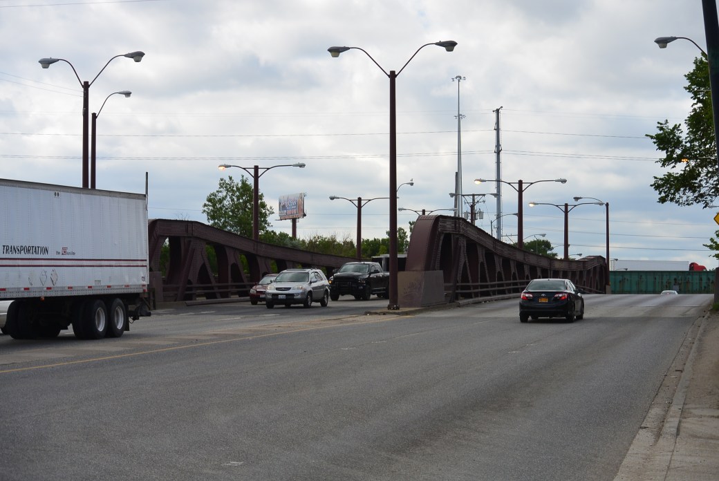
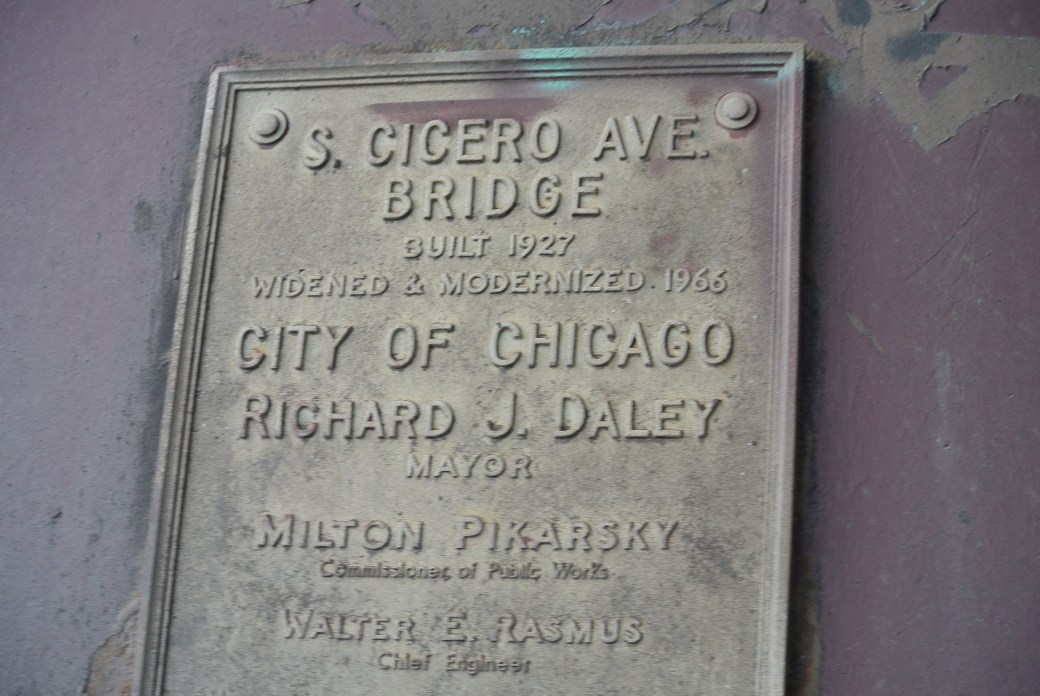
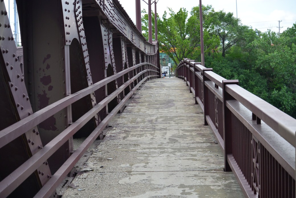
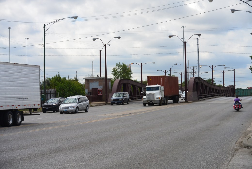
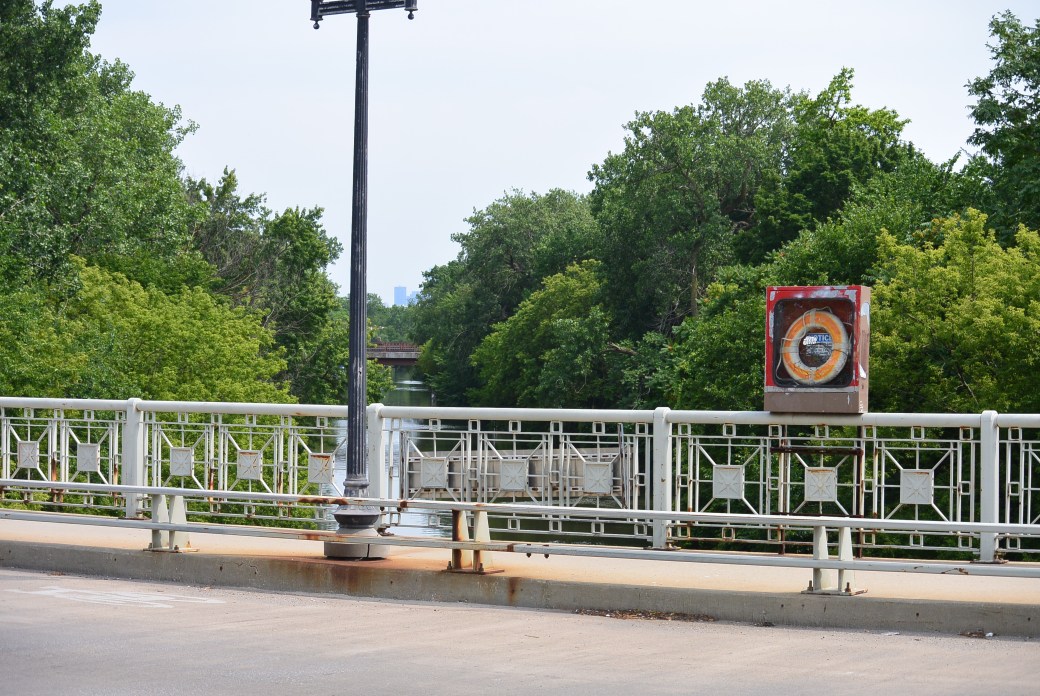
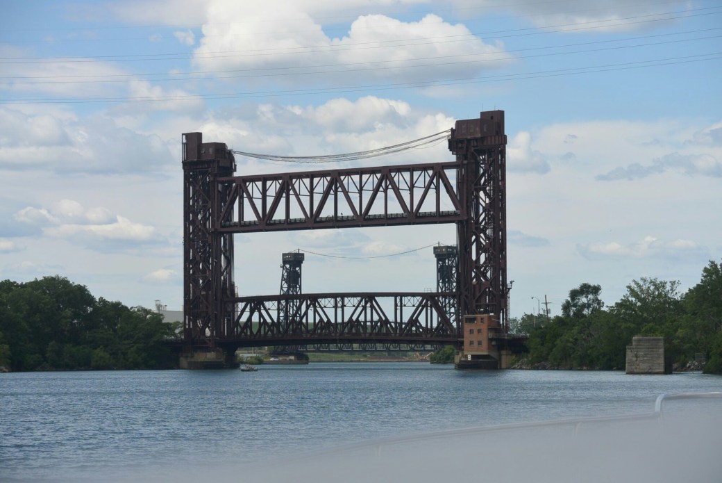
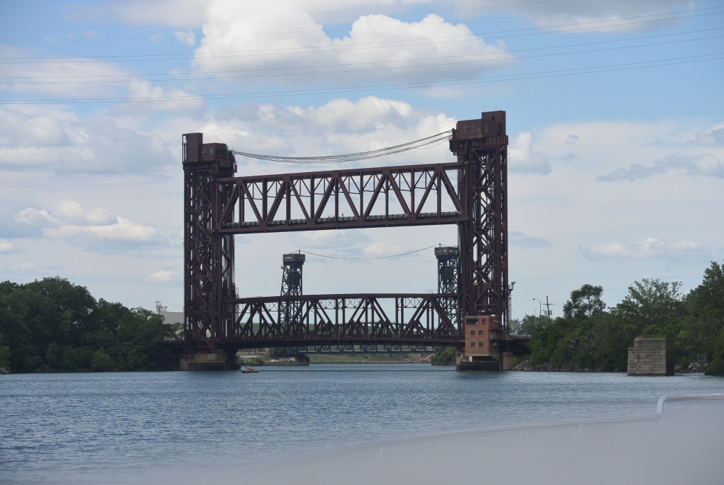
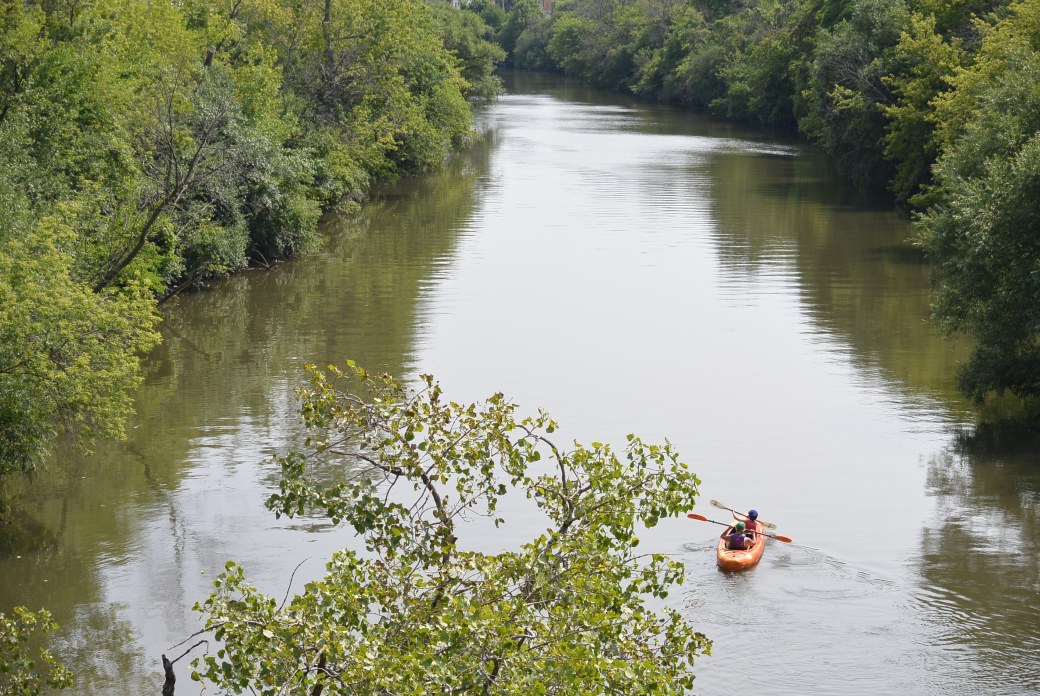
Irving Park Bridge over North Branch of Chicago River
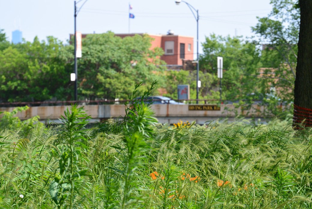
Irving Park Bridge over North Branch of the Chicago River
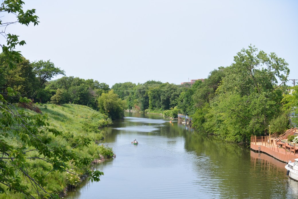
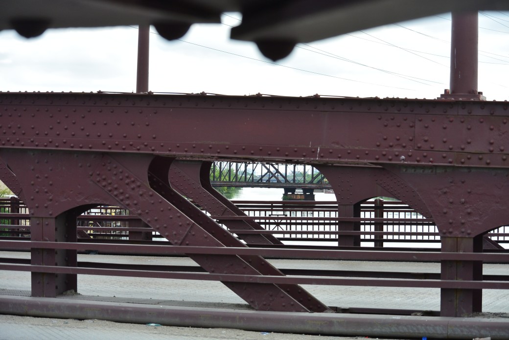
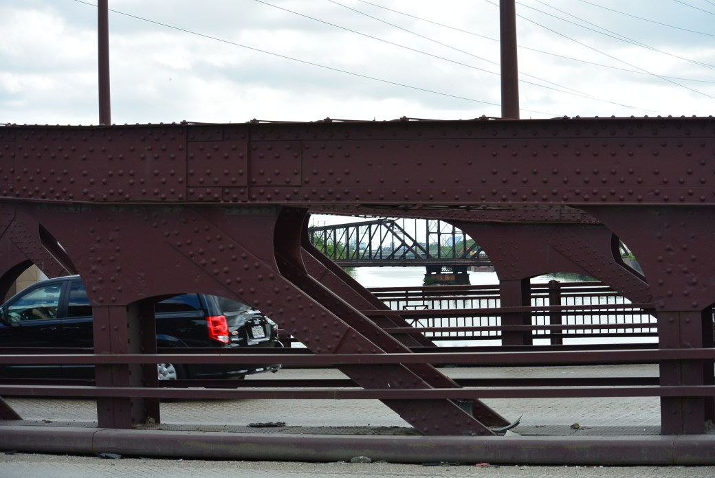
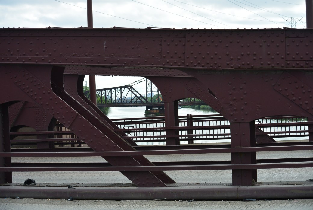
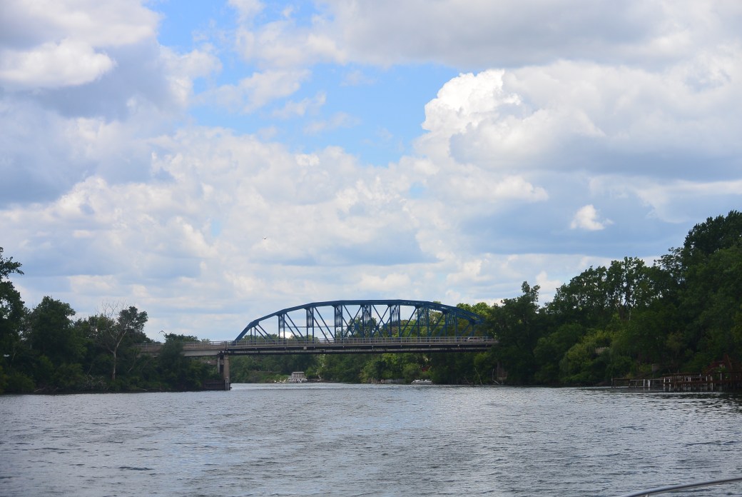
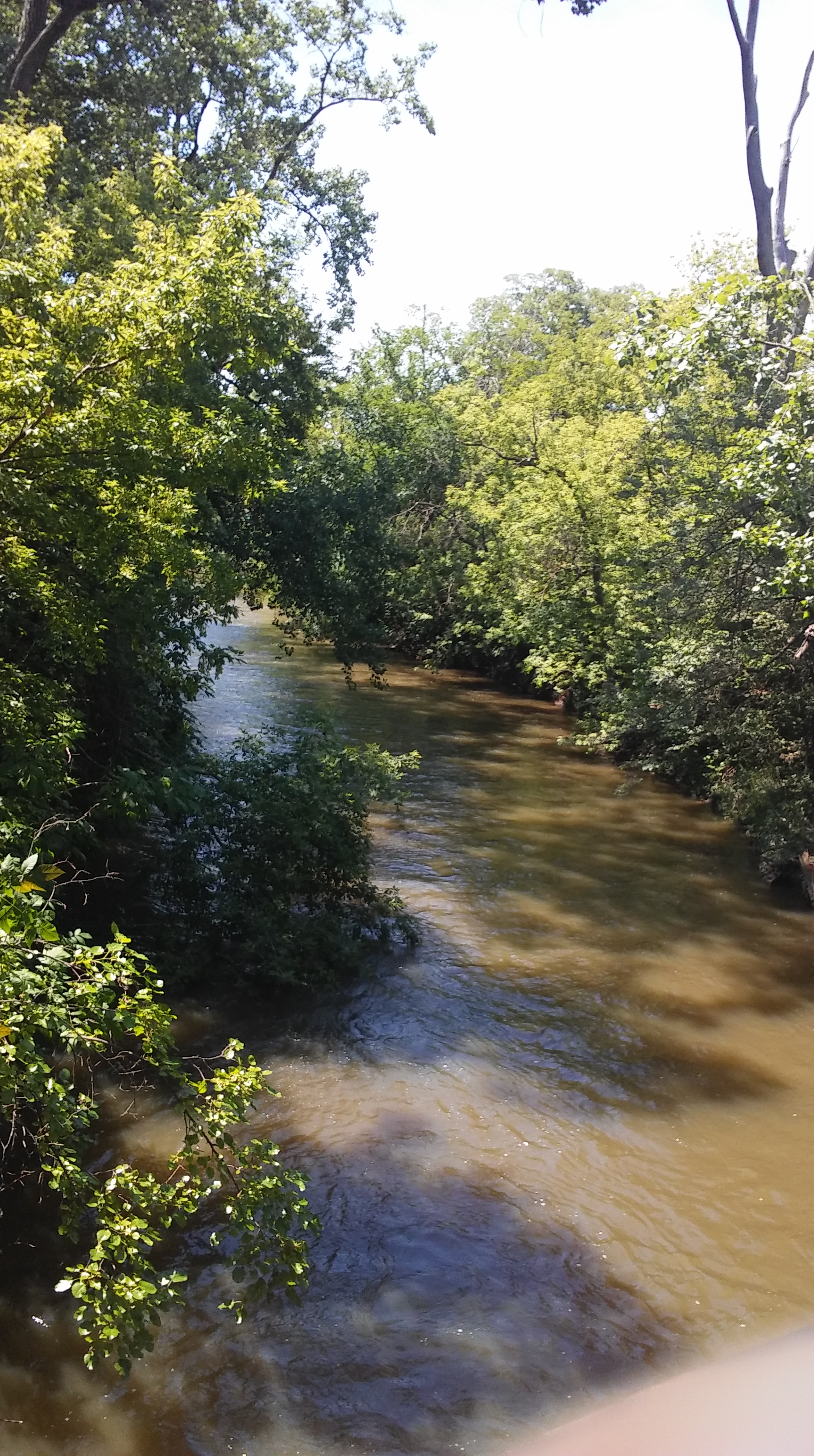
North Branch of the Chicago River from the Irving Park Bridge
North Branch Chicago River from the Irving Park Bridge
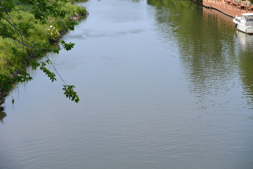
North Branch of the Chicago River from the Irving Park Bridge
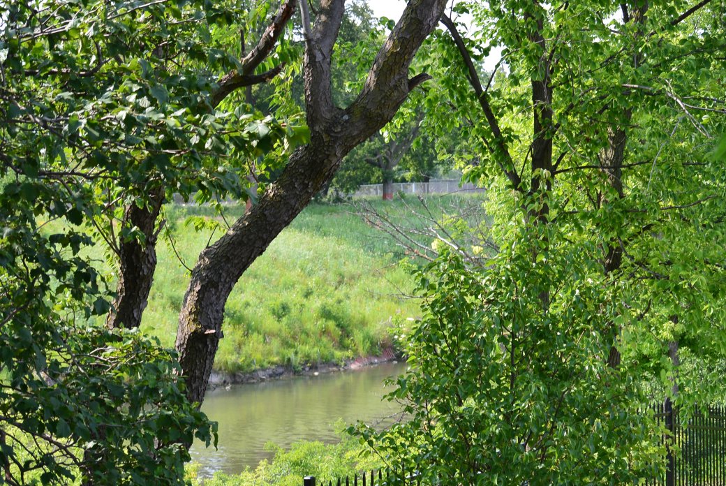
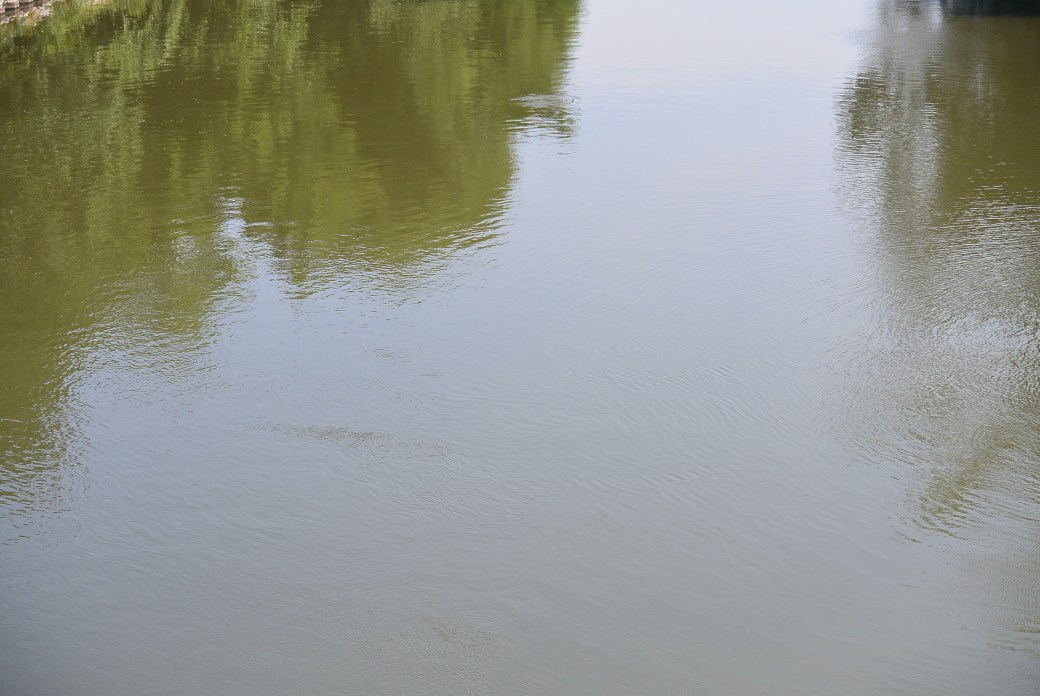
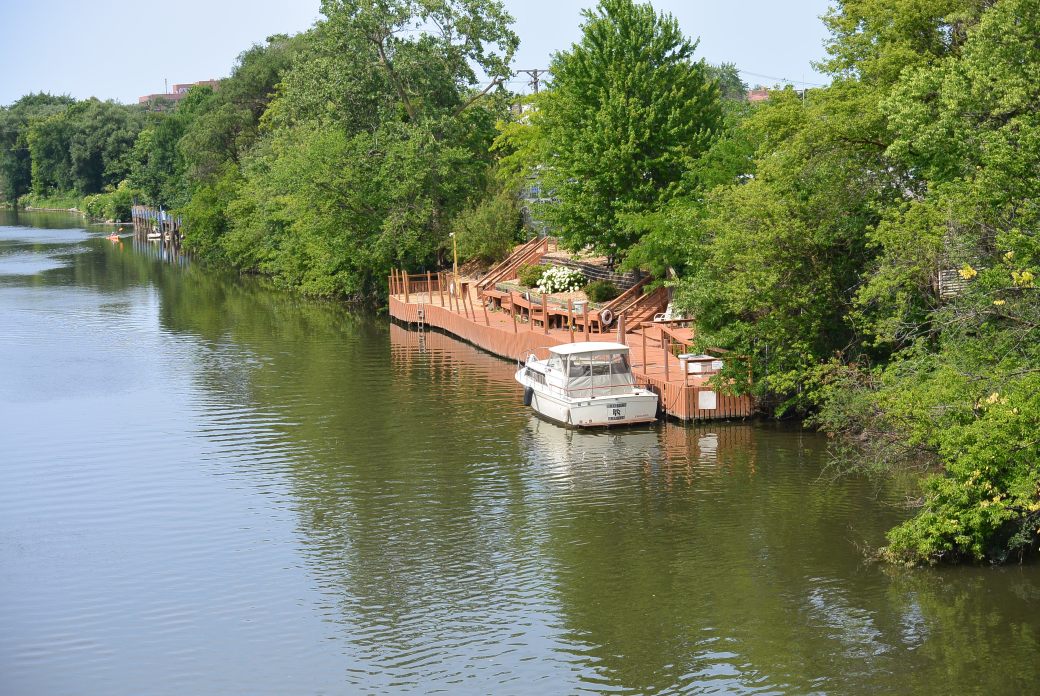
North Branch Chicago River
North Branch Chicago River from the Irving Park Bridge

North Branch Chicago River from the Irving Park Bridge