During the 1800’s, the city of Chicago underwent extraordinary growth. Many attribute this growth in large part to the I and M Canal. It certainly helped to establish the city as a major economic center.
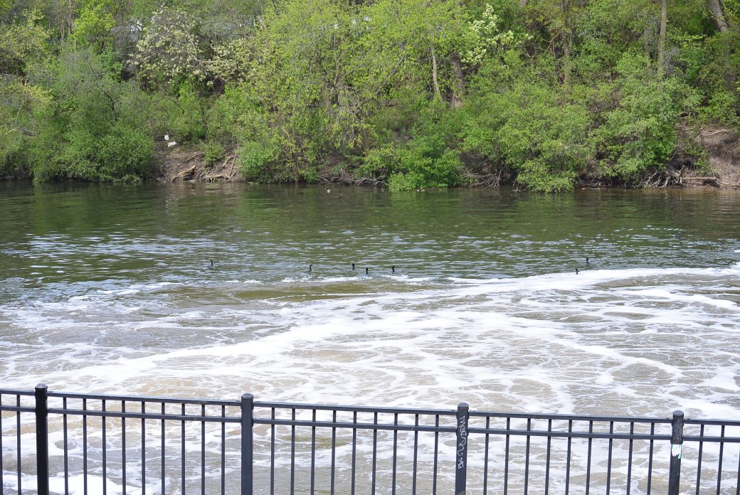
However, the population growth was not without problems. For some time, the Chicago River literally served as the city’s sewer. It’s location close to Lake Michigan and the flatness of the land created a situation in which the lake water supply was subject to contamination. In 1854, Chicago experienced a cholera epidemic
In response to this epidemic, the Illinois State Legislature created the Chicago Board of Sewerage Comissioners in 1855. The Board hired Ellis Chesbrough to develop a new plan for the city water and sewage systems. His plan provided for re-structuring of the sewer system. Tunnels were created that extended two miles in the lake. Water was pumped through these tunnels into the city. While innovative, these measures did not solve the basic problem of lake contamination.
At the time, many individuals proposed using the old I and M Canal as a means of handling the city sewage problem. The canal ran from the south branch of the Chicago River to the Illinois River in LaSalle. The problem with this plan was that modifications would be needed. Specifically, the Summit division had to be deepened to effect a reversal of flow in the Chicago River. Lake Michigan water would then wash sewage downstream. This project was approved by the state legislature in 1865.
There were two ironies about this project. 1)The so called “deep cut” was the original design plan for the Summit division. It had to be abandoned in favor of the “shallow cut”because of cost. 2) The chief engineer of the I and M Canal William Gooding was hired as a consultant on the re design project.
The deepening project took a total of six years. It successfully produced somewhat inconsistent reversal of the flow in the Chicago River. It soon became evident that the canal could not handle the volume of the sewage. It was hampered by flooding in the DesPlaines River. A temporary measure was re-activation of the Bridgeport Pumping Station in 1884. By this method, extra water was pumped into the canal to help flush sewage downstream. This measure also proved inadequate.
Because of the failure of the I and M Canal to solve the sewage problem, the Commission on Drainage and Water Supply was established in 1886. This body made three proposals. 1) continue discharging sewage in the lake; obtain Lake Michigan water north of Evanston, Illinois. 2) dispose of sewage on land. 3) dispose of sewage in the DesPlaines River.
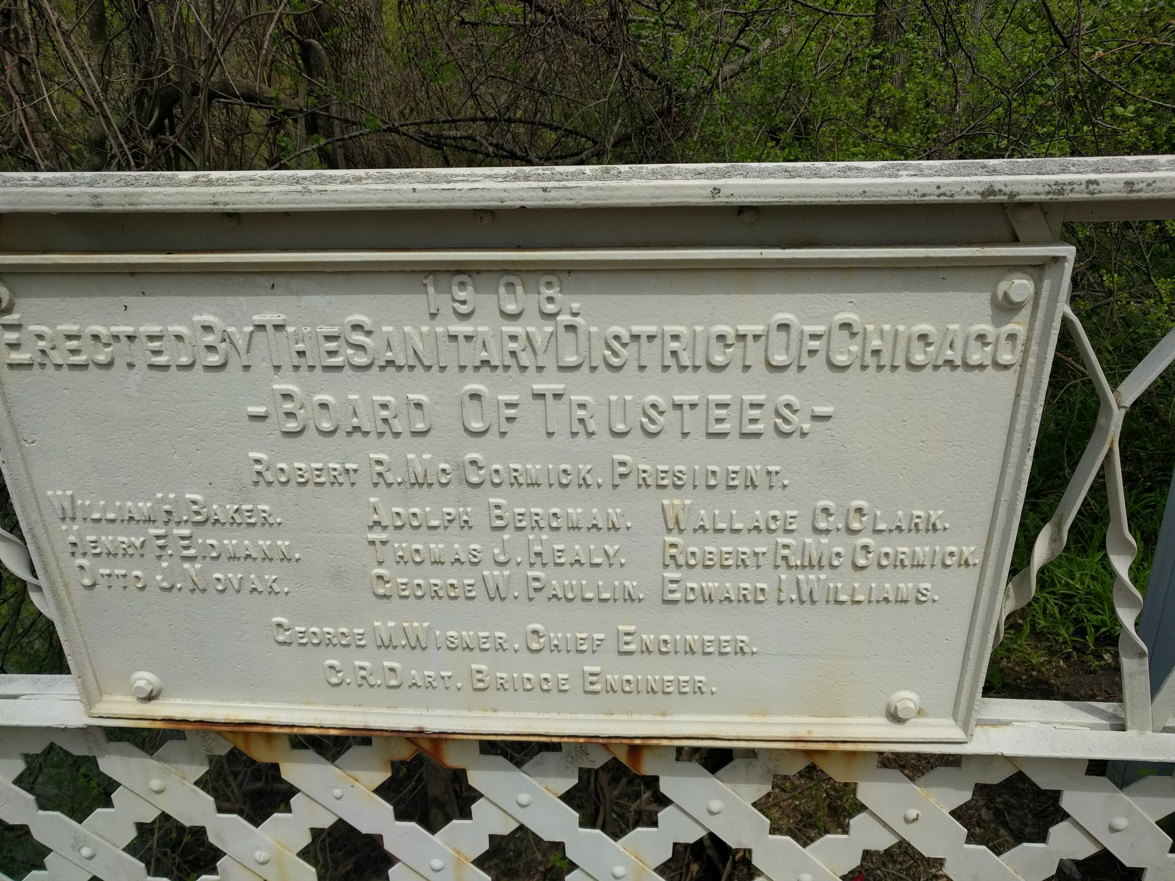
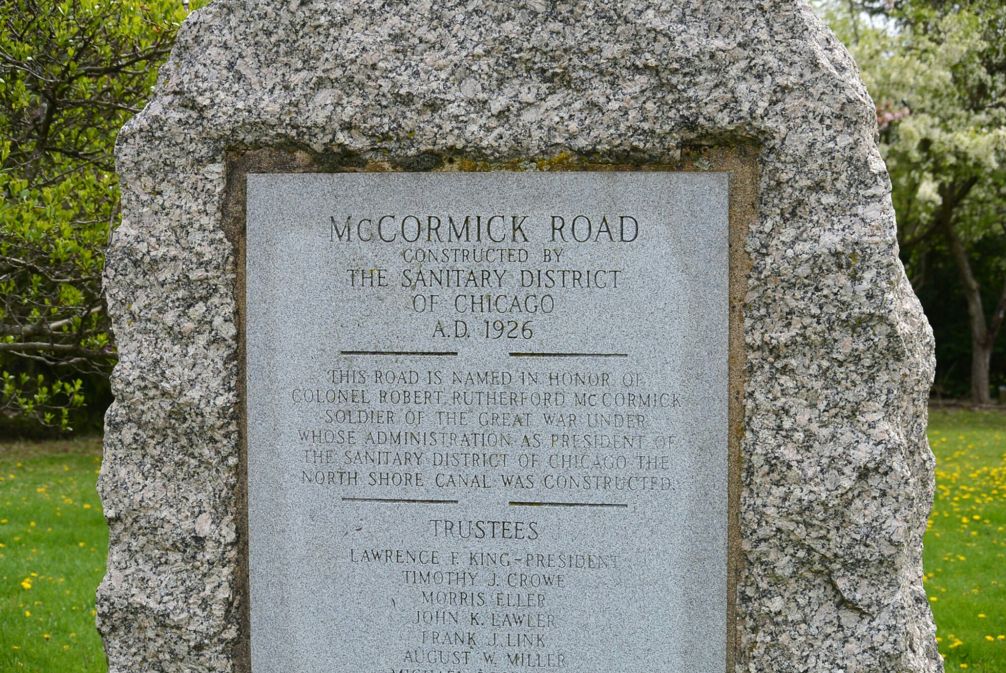
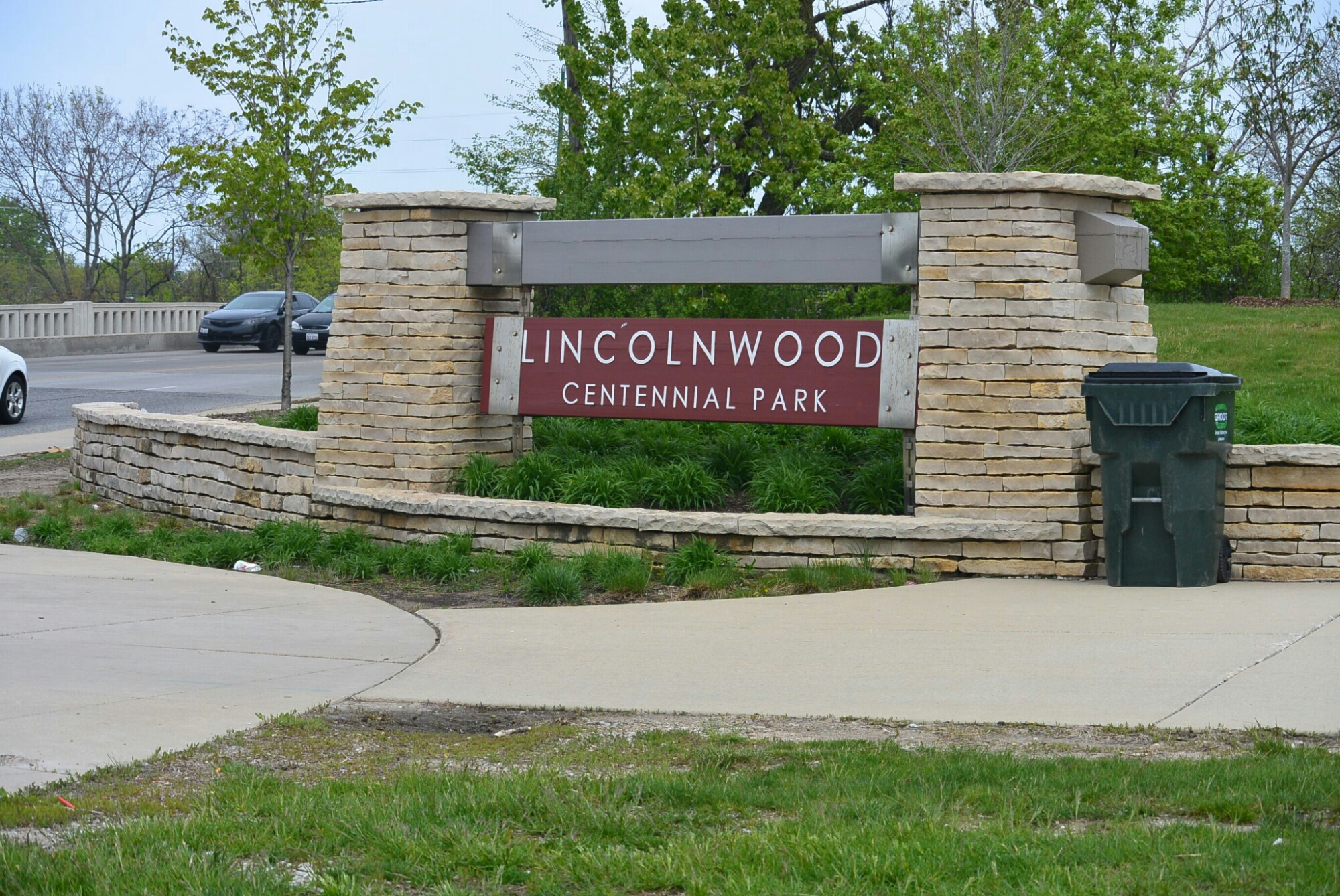
In 1889, the Illinois legislature. established the Sanitary District. This entity had the authority to build drainage canals; build and maintain docks; control and create water power. In 1889, voters approved the Chicago Sanitary District.
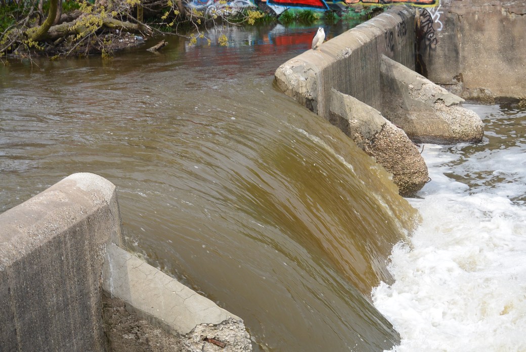
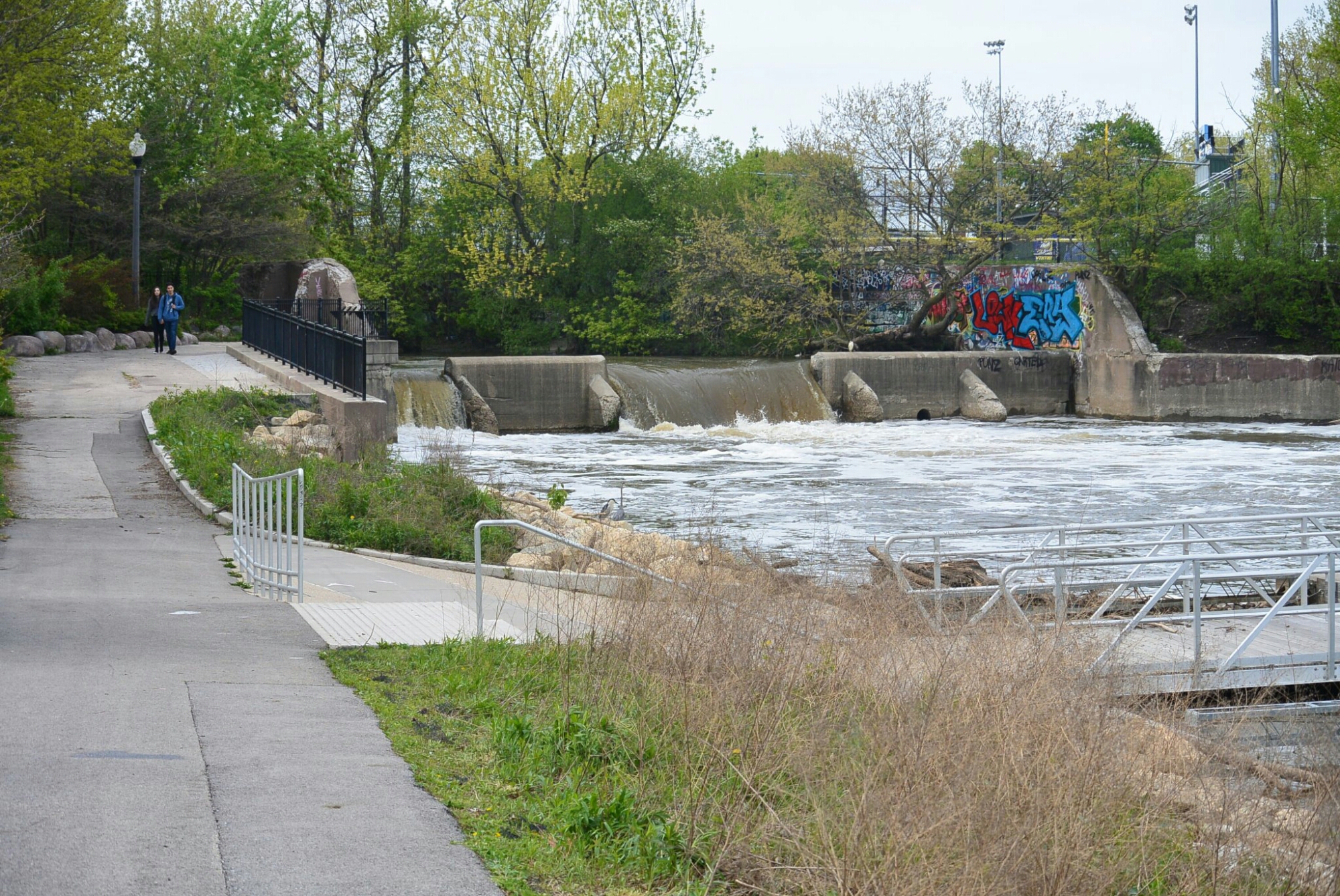
Requirements for the drainage canal were that was of sufficient size to maintain a flow of not less than 80,000 cu. feet/ minute. Depth not less than 14 feet. The channels, intercepting sewers and pumping stations were based on the dilution method of sanitation.
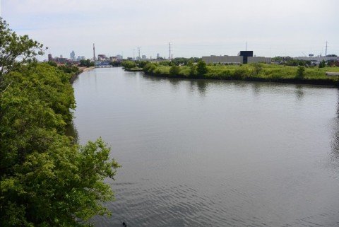
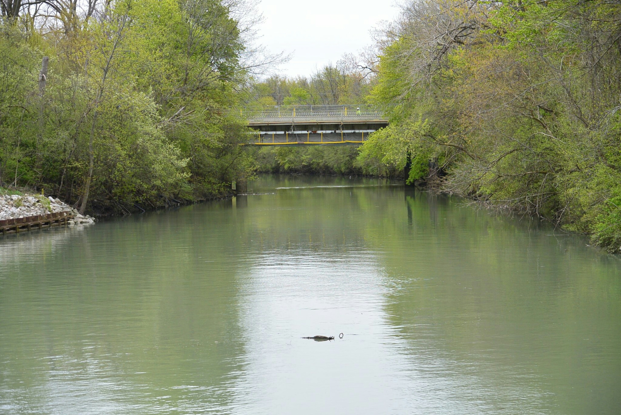
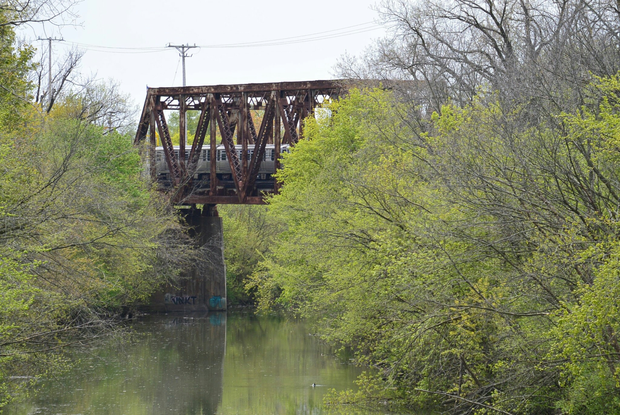
Chicago Sanitary and Ship Canal
By 1892, the board of the Sanitary District settled a route for the canal and began taking bids. The project was described as follows: Push the DesPlaines River to the west side of the valley. Dig a new drainage canal from the Chicago River to the DesPlaines River at Lockport. Reverse the flow of the Chicago River away from Lake Michigan. Build new sewers along the lakefront to carry their discharge into the canal. A side project was to build a new 13 mild channel for the DesPlaines River.
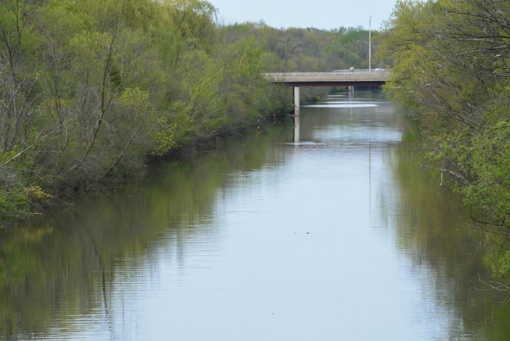
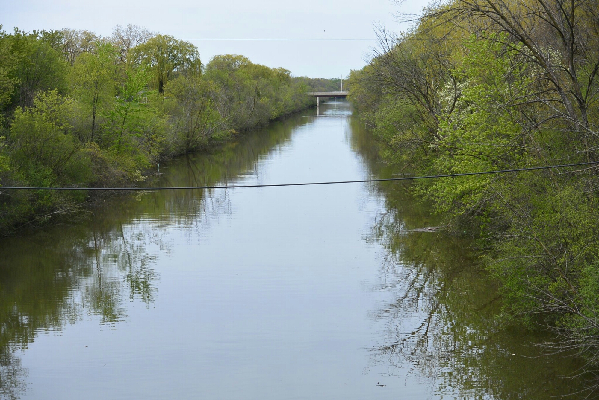
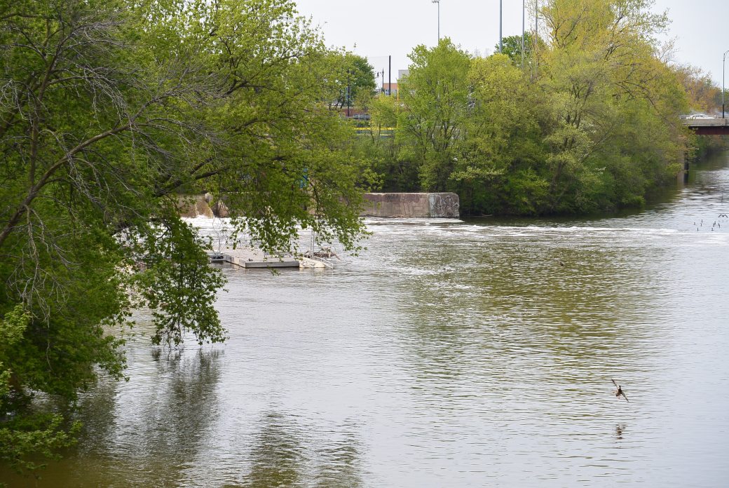
The project was massive and required removing tons of rock along the course of the canal. The original project was called the main channel It was 33.9 miles. Construction lasted from 1892–1900. The second part of the project was called the main channel extension and went from Lockport to Joliet. It added 4 miles to the canal. Construction lasted from 1902–1907. Besides being used as a sewage canal, the canal became part of the Illinois Waterway. It established a water route from Chicago to the Mississippi River via the Illinois River.
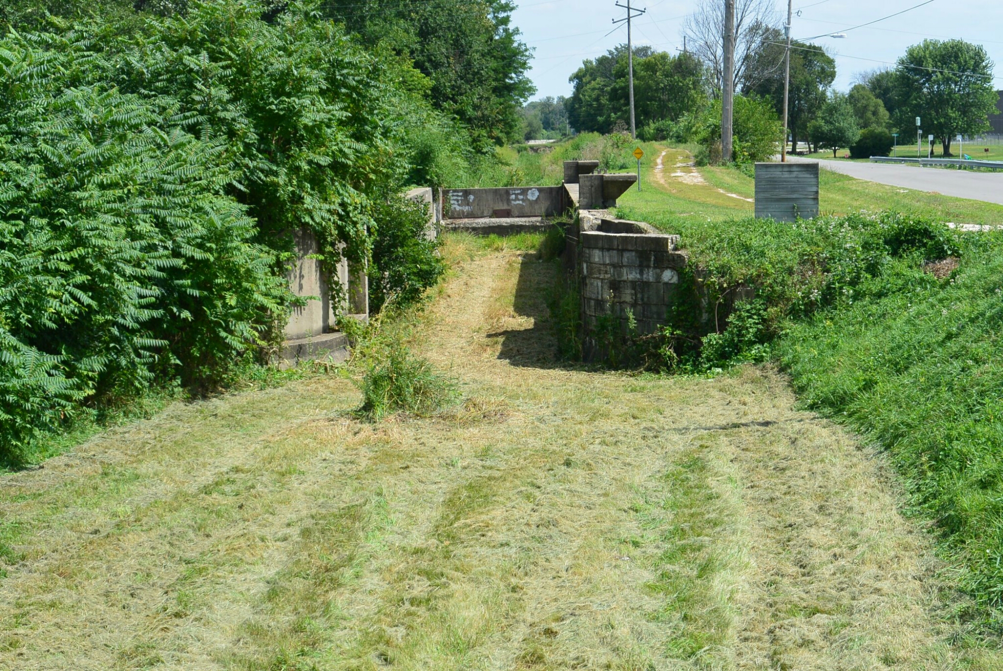
A branch of the canal was the Cal Sag Waterway from the Calumet River to the Chicago sanitary and Ship Canal. This was constructed in 1911-1922.
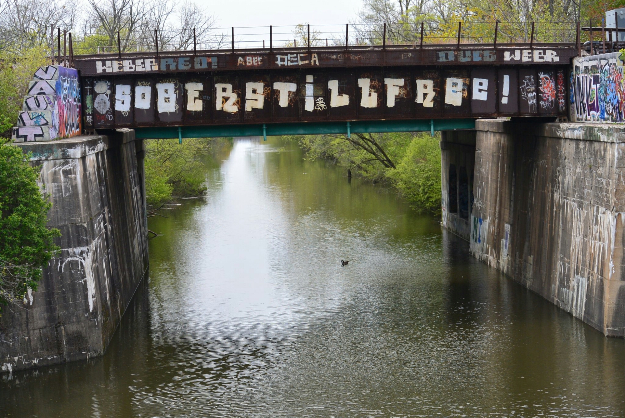
Over the years, the role of the canal as a conduit began the process of slow ending as sewage plants were built in Chicago.