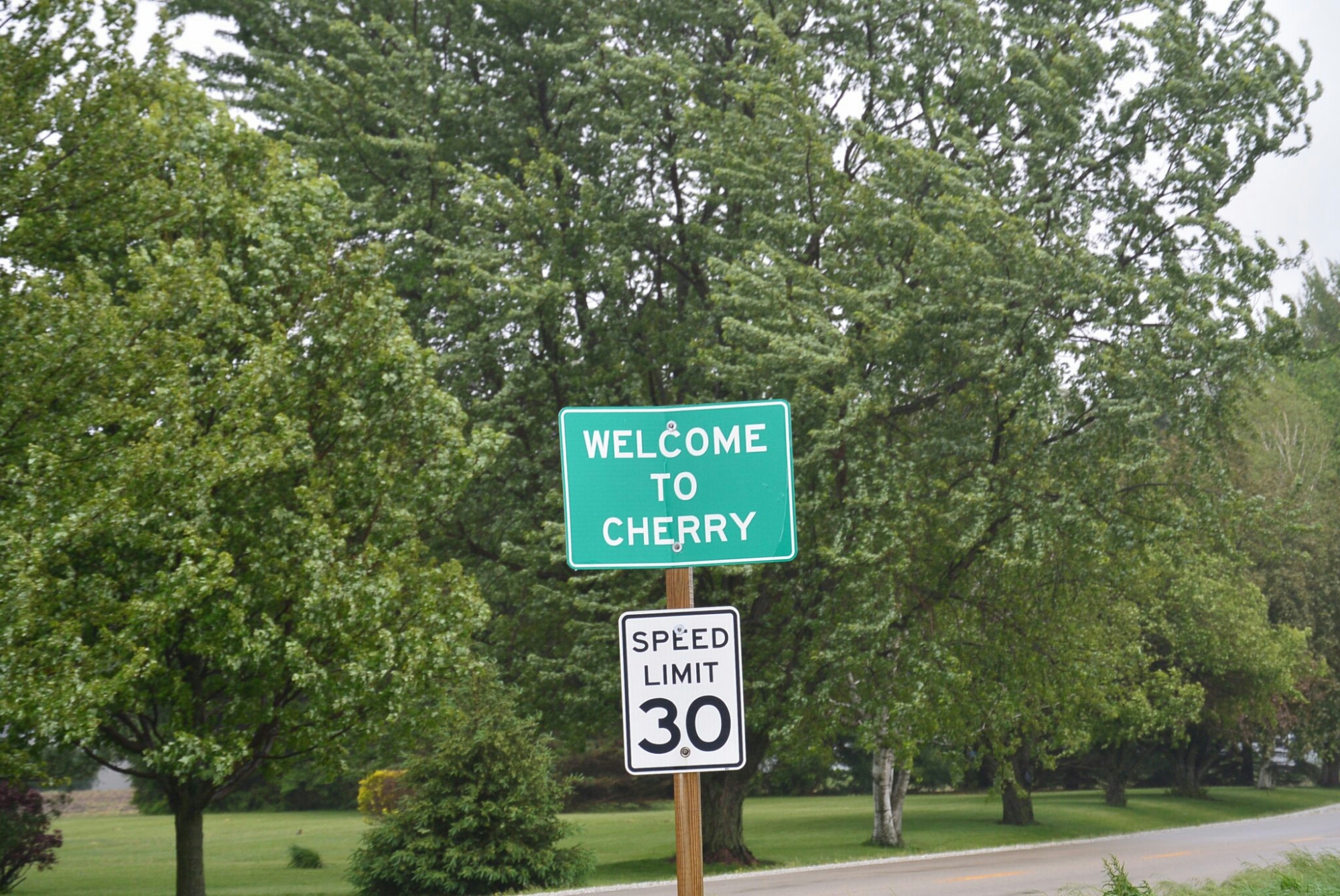
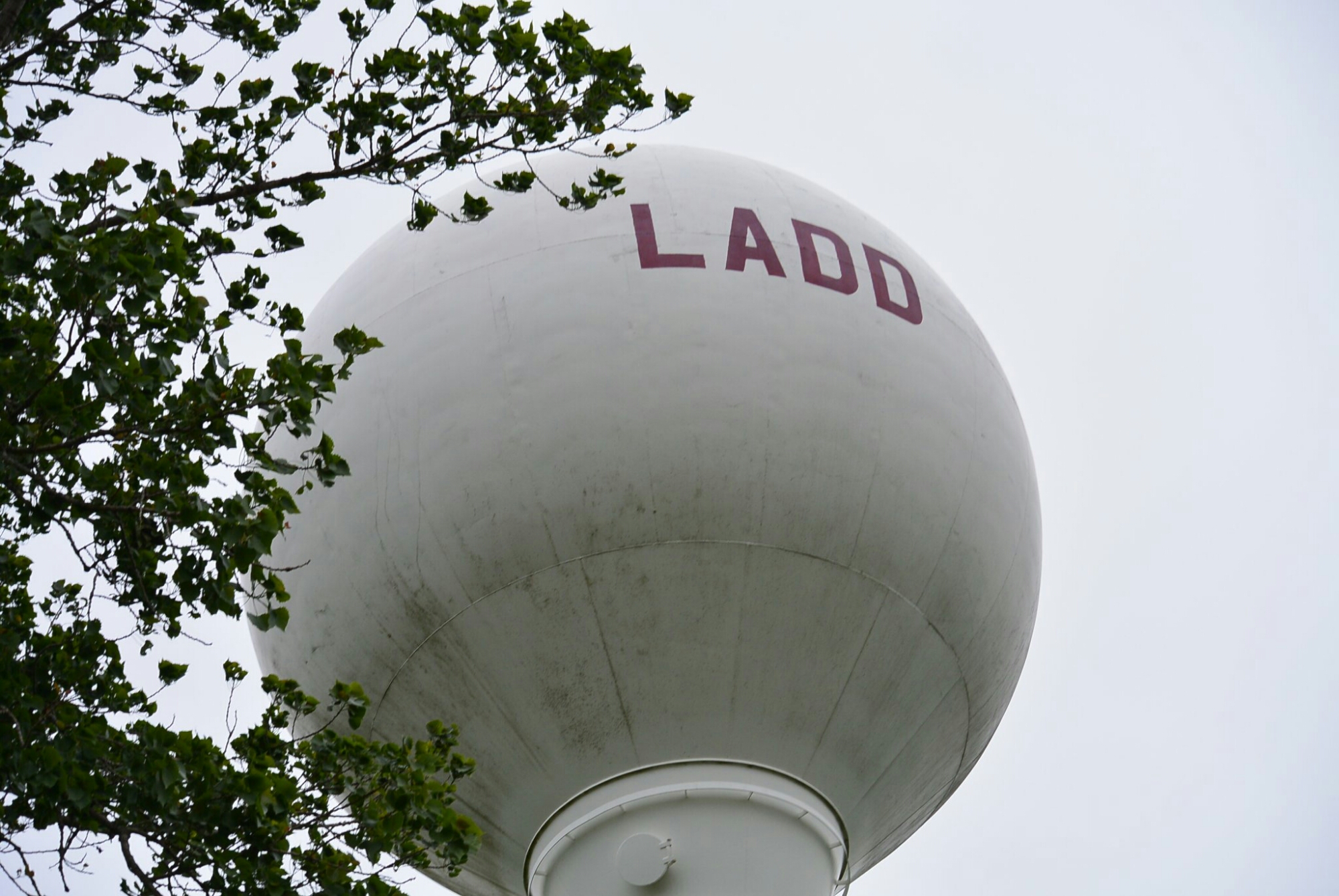
Chicago River and the Sanitary and Ship Canal


DSC_1735

Amtrack Yard Vintage Cars south branch of Chicago River

DSC_1734

Same as above

DSC_1736

18th Street Railroad Bridge  south branch Chicago River

DSC_1737

Same as above


DSC_1739

Canal Street Railroad Bridge south branch of Chicago River

DSC_1740

same as above

DSC_1742

Ashland Avenue Bridge at the junction of the south branch of the Chicago River and the Sanitary and Ship Canal

DSC_1743

Damen Ave Bridge

DSC_1744

Canal Origins Park

DSC_1746

Santa Fe Grain Elevators  south branch of Chicago River

DSC_1749

Same as above

DSC_1801

Same as above

DSC_1751

South Western Avenue Bridge Sanitary and Ship Canal

DSC_1752

Eight track railroad bridge west of Western Avenue

DSC_1753

Same as above

DSC_1754

California Avenue Bridge over Sanitary and Ship Canal

DSC_1756

Chicago, Madison and Northern Railroad


DSC_1760

Kedzie Avenue Bridge


DSC_1770

Santa Fe Bridge

DSC_1756

Santa Fe Bridge


DSC_1765

Harlem Avenue Bridge and Santa Fe bridge

DSC_1766

Sanitary and ship canal

DSC_1767

sanitary and ship canal

DSC_1772

Stevenson Expressway Bridge

DSC_1779

Stevenson Expressway

DSC_1774

Same as above

DSC_1781

South LaGrange Road

DSC_1776

Indiana Harbor Belt RR

DSC_1775

Same as above

DSC_1778

LaGrange Rd

DSC_1779

TriState Toll Road

DSC_1784

Near the Junction of the Cal Sag and the Sanitary and Ship Canal

DSC_1785

Junction Area

DSC_1786

Junction Area

DSC_1787

Cal Sag Canal  Archer Ave Bridge

DSC_1790

Sanitary and Ship Canal


Cherry, Illinois

Cherry, Illinois

Cherry, Illinois is a small town in central Illinois Bureau County.   It current population is approximately 500.    In the early 1900’s, it was a coal mining town.  The mine was started by the Saint Paul Coal Company in 1905. It was operational until 1927.   It provided coal to the Milwaukee Railroad.  In its prime, it produced 1,500 tons a day.  The mine consisted of three horizontal shafts of varying depth and two vertical connecting shafts.  The mine was considered to be safe at the time.  It had a ventilation fan.  It was thought to be fire proof.  It was illuminated with electric lights.  The miners were predominantly Italian immigrants.  Many spoke no English.  Many children some as young as 11 worked in the mine.

Cherry Mine Slag Hill

Cherry Mine Slag Hill

Historical Plaque

Cemetery Memorial Cherry Mine Disaster

Graves of Mine Disaster Victims

Cherry Mine Disaster Memorial

     The mine was the site of one of the worst mine disasters in the United States at the time.  It occurred on  November 13, 1909.  At the time there were approximately 500 miners working.  There had been an electrical shortage and the mine light system was not operational.  The miners switched to the old kerosene lanterns.    At approximately noon, a car filled with hay caught fire and spread to the support timbers.   The fire spread despite many maneuvers used to control it.   There were approximately 259 victims of this disaster.  Shortly after November the mine was sealed and left that way for 3 months.  It was then reopened and the bodies of the missing miners.

The Saint Paul Mining Company paid $1800 to the families of the victims.

cherrymine12

Picture of the Mine at the time of the fire

Ladd, Illinois

Ladd, Illinois.

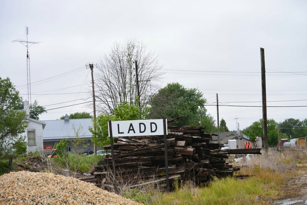
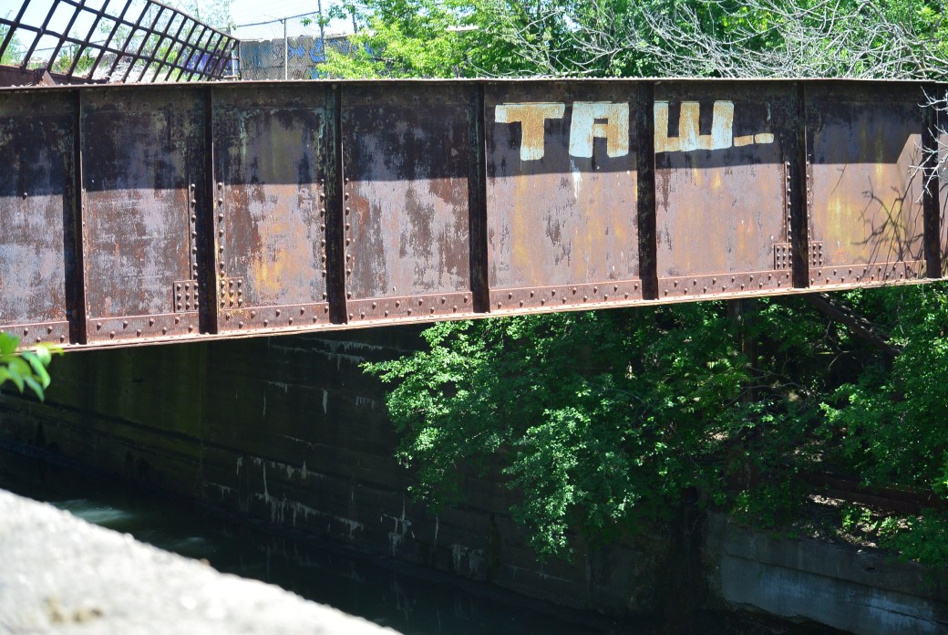
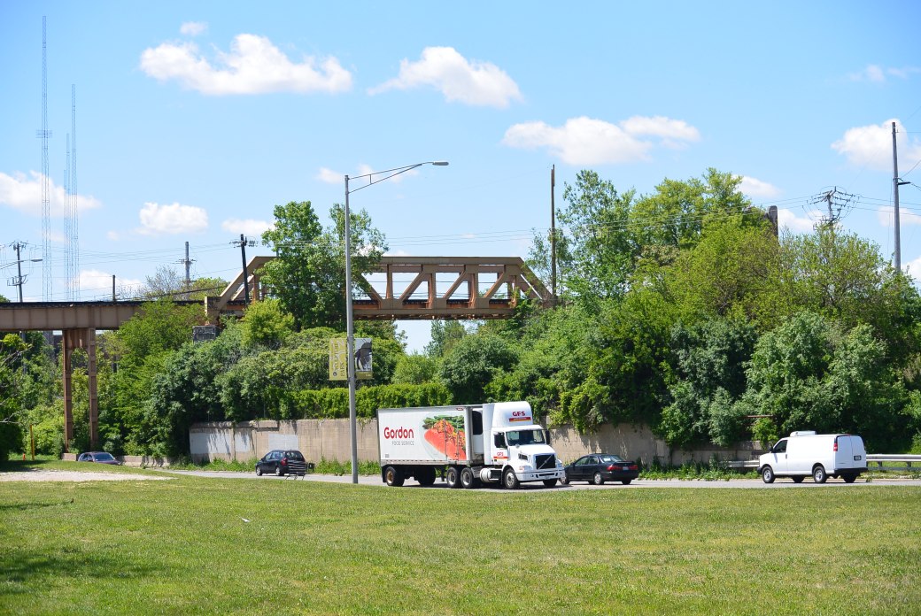
Railroad. Ladd, Illinois.
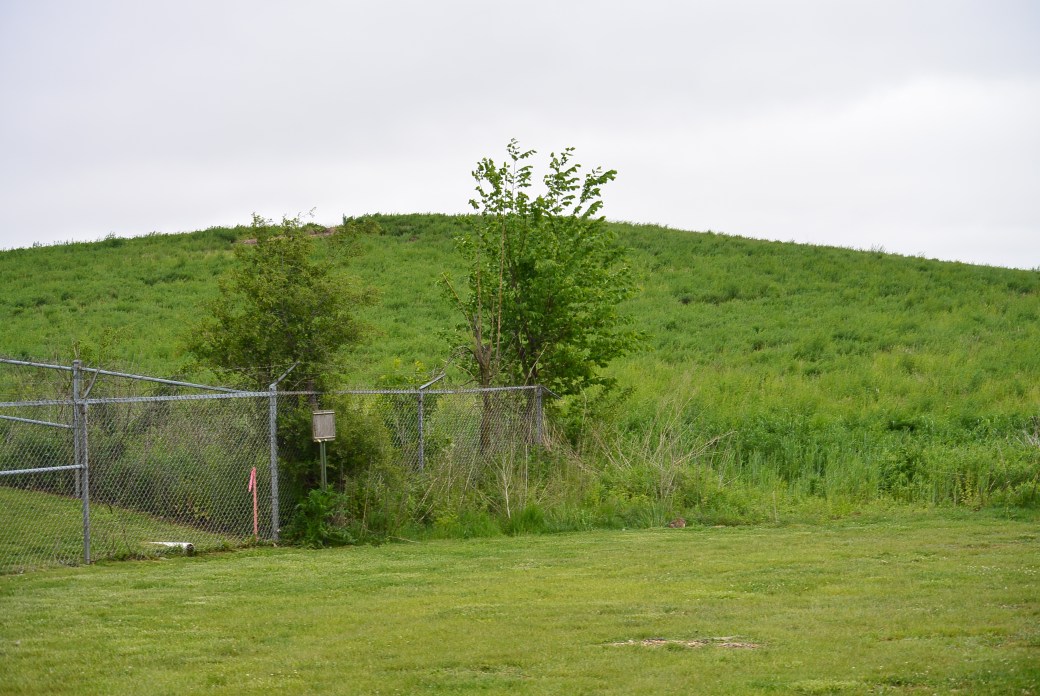
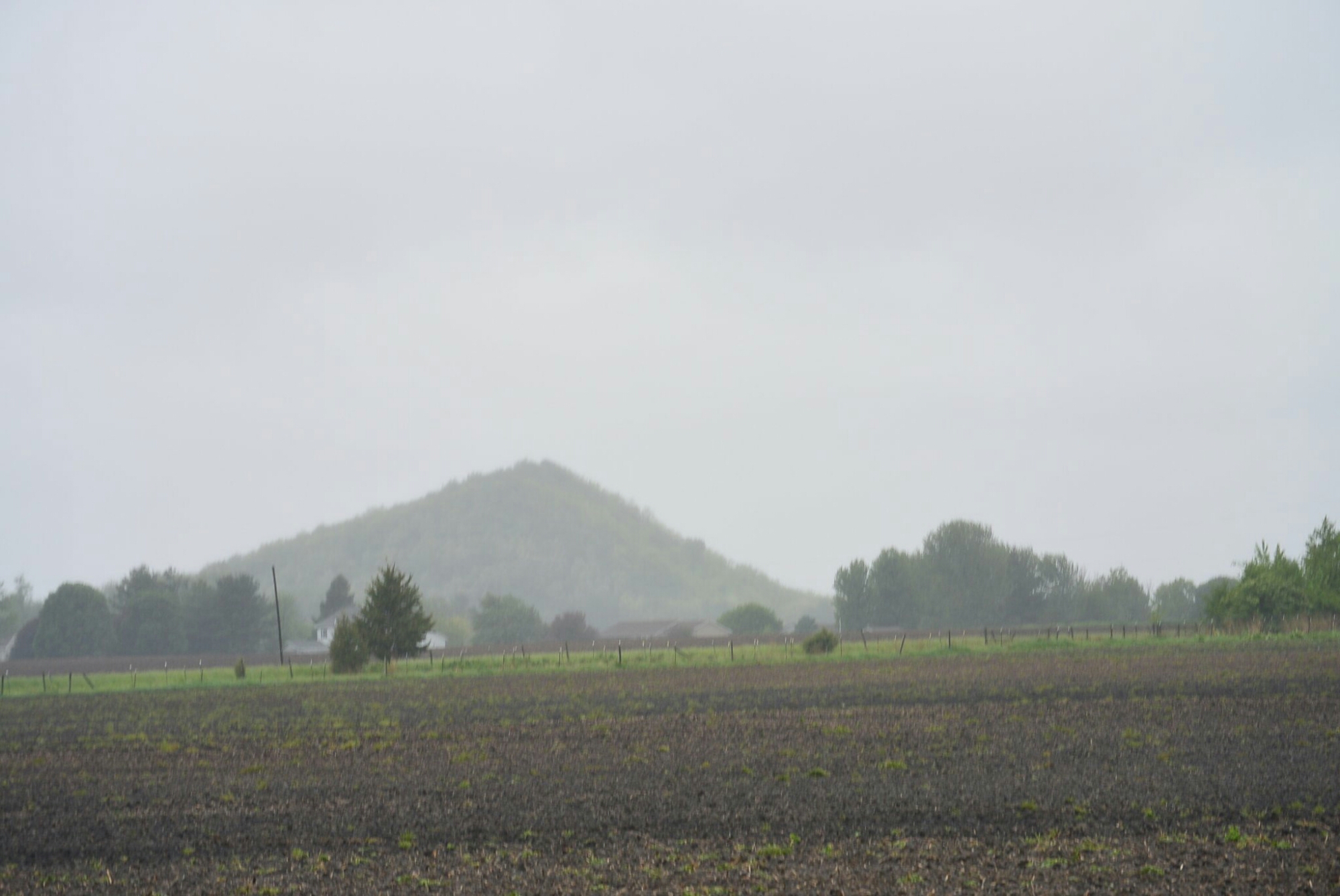
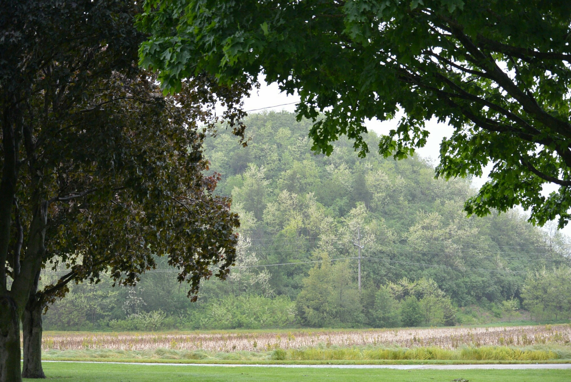
dsc_1627.jpg

Ladd Slag Pile

The village of Ladd is a small community located in Bureau County in central Illinois.  The area was originally called Osgood after the owner of the mine in the area.  Later it was called Laddville after a businessman from Peru, Il.  It was incorporated in 1890 as Ladd.

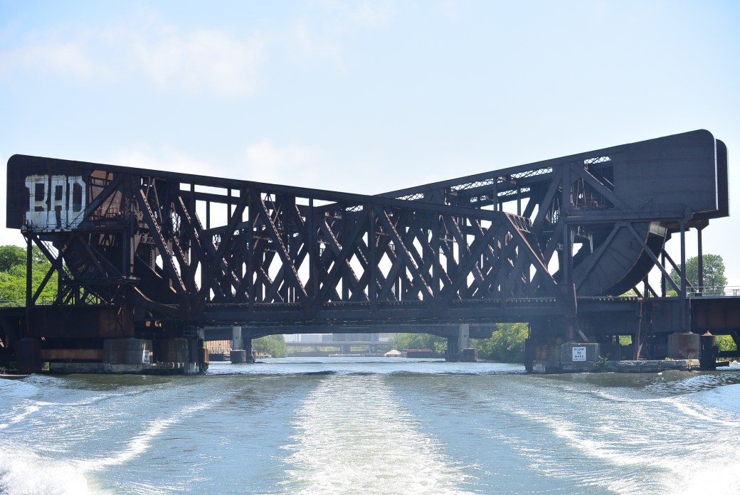
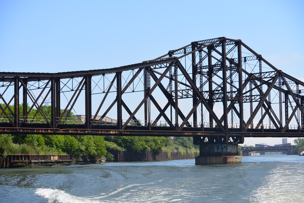
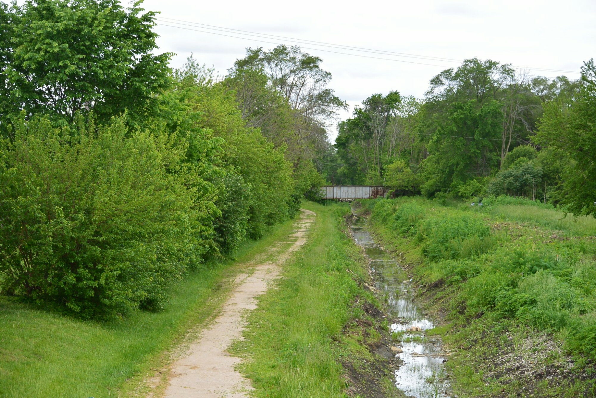
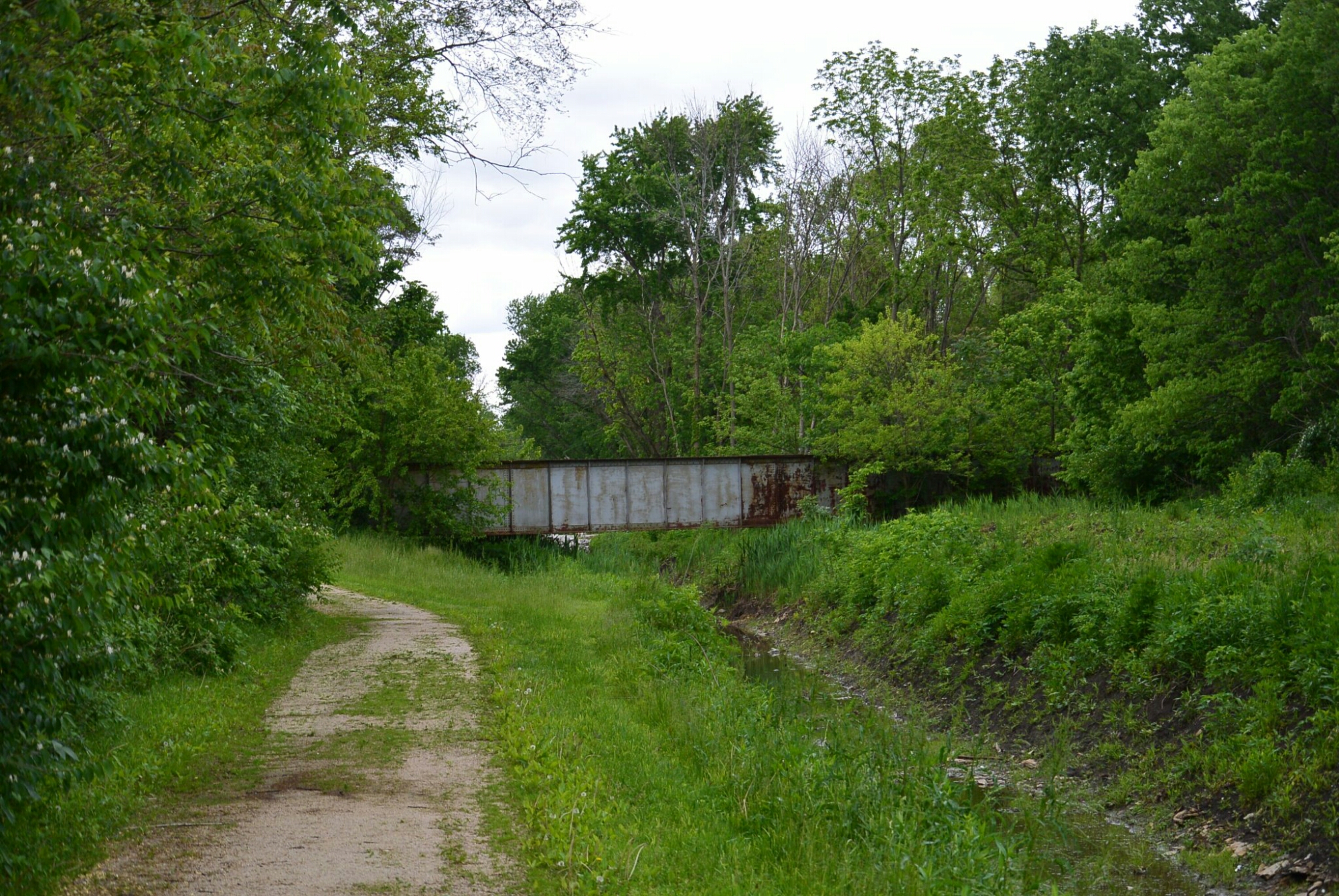
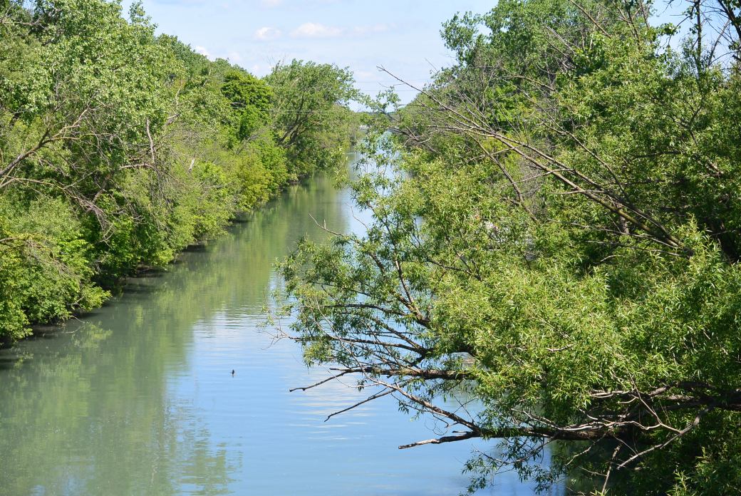
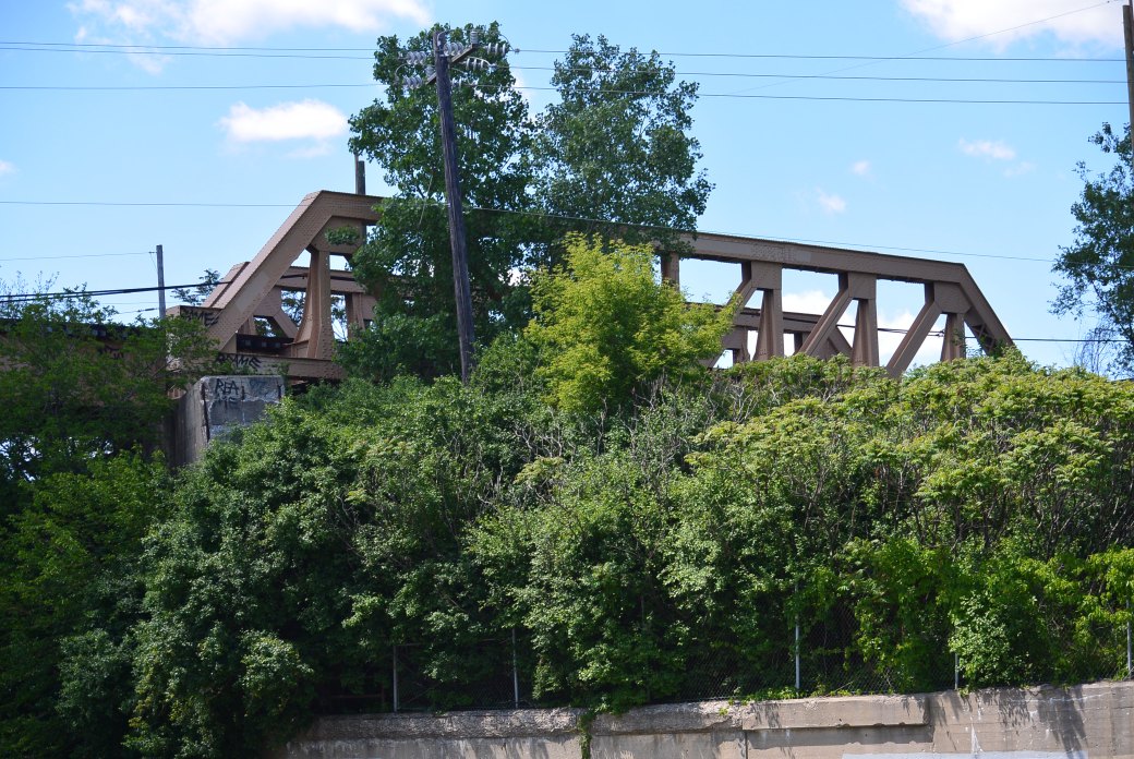
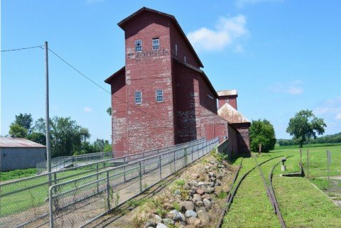
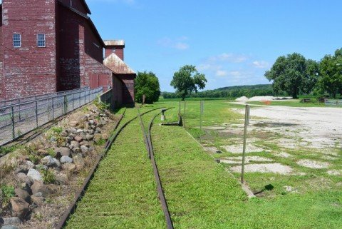
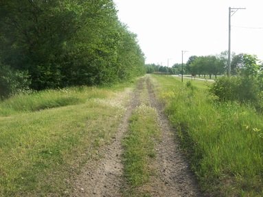
In 1888, the board of directors of the Whitebreast Fuel Company (Ottumwa, IA), authorized its agent William McNett to purchase mine rights in a section of Bureau County, Illinois.    The purchase consisted of approximately 10, 500 acres in an area around what was to become Ladd.  The site was chosen because of its proximity to a main road.  There was also a railroad Illinois Valley and Northern.  This was constructed to service an elevator in Ladd owned by George Ladd.  This track was leased by the Chicago,  Burlington and Quincy.    Later the Milwaukee Road built a terminal in the area.

     The original miners came to the area from Iowa in 1888.  They encountered considerable difficulty in drilling due to the composition of the soil.  After one and a half years, they successfully drilled 3 shafts.    Whitbread fuel company operated the mine for 11 years.

     In 1901, the mine was purchased by S.M. Caldwell and a group of investors.  The company was called Illinois Third Vein Company.   The new company made over $100,000. In improvements in the mine.    They erected a coal washing plant.  They installed a new ventilating fan.  

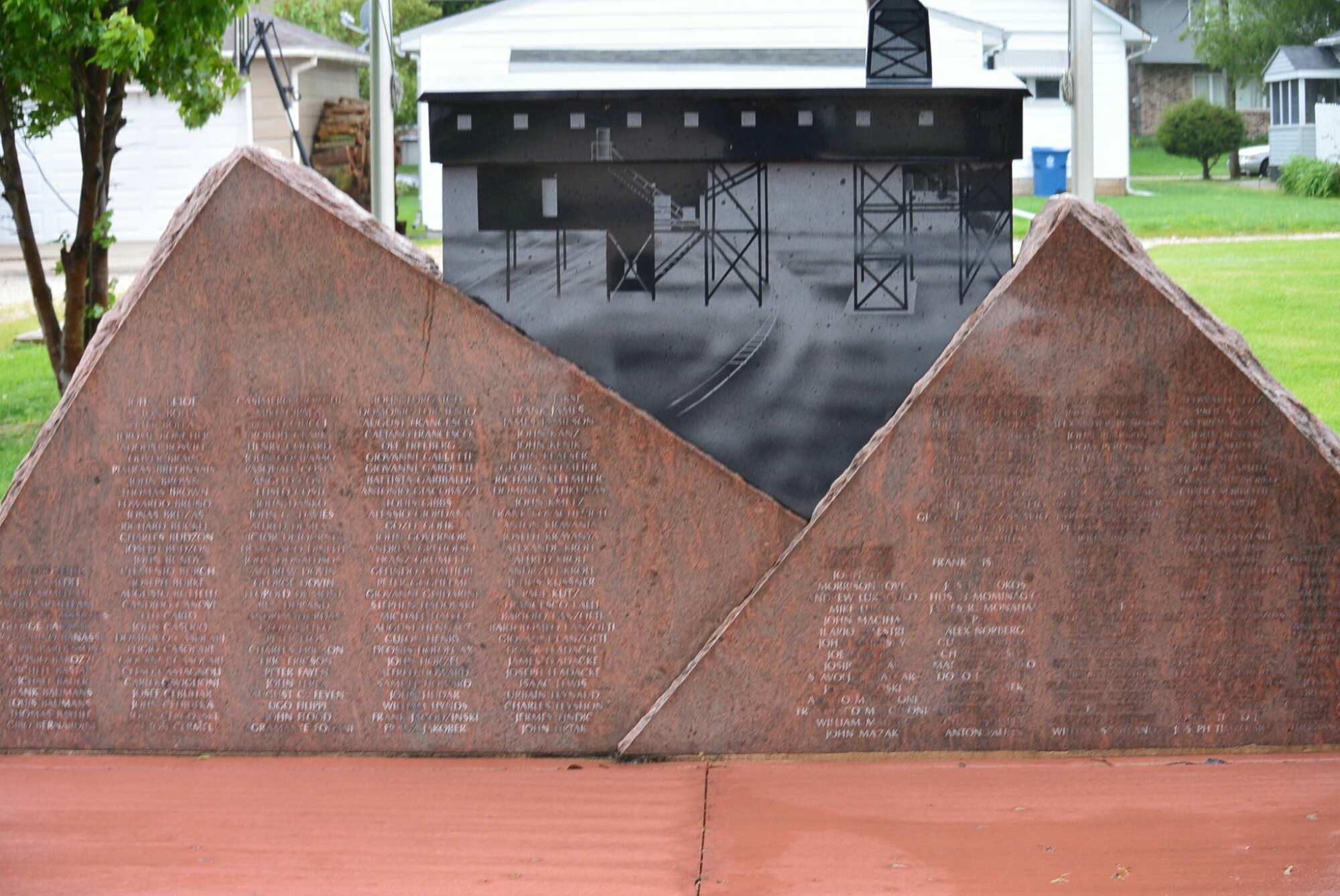
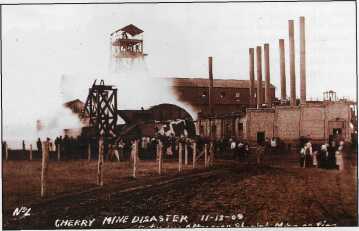
  At its peak, the town of Ladd had 700 miners and 300 railroad employees.  This continued until 1924.  The mine produced 6,198,174 tons of coal during its life.  

   The mine was closed in 1924 in  part due to competition with nonunion mining in southern Illinois.  The miners relocated to areas with active mining operations.  Railroad workers were relocated.

    The abandoned mine was sold to Peter Bergandi in 1925.  The purchase price was $5000.  Not much is known about what this individual did with the mine.

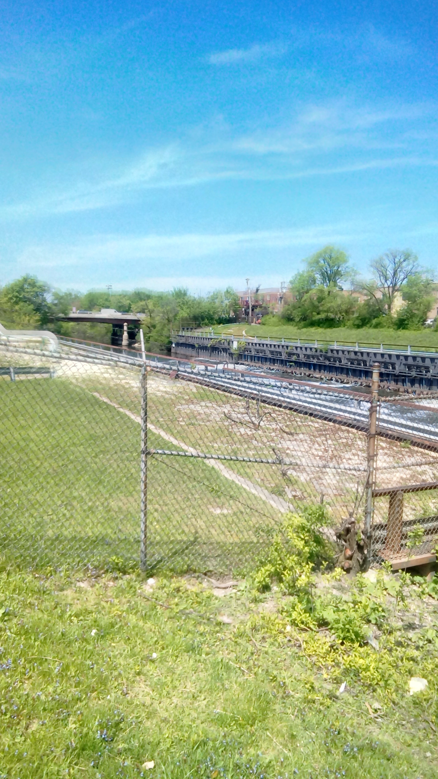
     The only remnant of the mine is the slag pile.  It was composed of shale and slate rock. At one time, it stood at 252 feet in height.   Recently, it’s height was reduced by 80 feet by the Illinois Department of Natural Resources.   The mine shafts were refilled.  

  In the past,  plans were proposed for the slag hill.  One of the more novel ones was a revolving night club at the top.  Trees were planted on the hill by school kids.

North Shore Channel. (Cont)

North Shore Channel near Devon St.

North Shore Channel near Devon St

North Shore Channel South of Devon St.

North Shore Channel South of Devon St

North Shore Channel South of Devon St

North Shore Channel near Howard Street

North Shore Channel near Howard Street

North Shore Channel near the Skokie Swift Bridge


North Shore Channel Skokie near Oakton Ave

North Shore Channel Skokie near Oakton Ave. Bridge in the distance

North Shore Channel Skokie

North Shore Channel Skokie


North Shore Channel Near Skokie


DSC_1717.JPG

DSC_1716.JPG

North Shore Channel near Oakton Street

DSC_1718.JPG

North Shore Channel Skokie near Oakton Avenue

DSC_1719.JPG

Viaduct over the North Shore Channel  Skokie

DSC_1722.JPG

Viaduct over the North Shore Channel

DSC_1723.JPG

North Shore Channel Skokie

DSC_1724.JPG

North Shore Channel  Skokie

DSC_1725.JPG

Skokie Swift Viaduct

DSC_1727.JPG

Skokie Swift Viaduct


Kankakee and Seneca Railroad Company Bond

Bond Kankakee and Seneca R.R.

Train Station Kankakee and Seneca Railroad Bonfield, Ill  This is a mixed passenger and freight train


wpid-wp-1442527179052.jpeg

Hogan Grain Elevator;  Kankakke and Seneca R.R. Tracks

wpid-wp-1442424975216.jpeg

Seneca, Illinois   Kankakee and Seneca Railroad Tracks


1606381_orig (1)

Blue Line Marks the Course of the Kankakee and Seneca Rail Road

Track Bed  Kankakee and Seneca R. R.

In 1881, the Chicago and Rock Island and the Cleveland, Cincinnati, Chicago and Saint Louis Rail Roads incorporated a joint venture to build a line between Kankakee and Seneca, Illinois.  The K and  S had its own crew and agents.   Villages along the line included:  Bonfield, Freilings, Union Hill, Coster, Gardner, Booth , Mazon, Wauponsee and Langham.

The K and S was a single track, standard gauge steam line.  The track between Kankakee and Seneca was 42.2 miles.  It also had a yard and side tracks totaling 6.7 miles.  There were train stations in Bonfield,  Essex, Gardner and Mazon.   Only one of these still exists.  This was at Bonfield.  It was built in 1881.  Its dimension were 50 feet in length; 20 feet wide; 16 feet high.  There was a peaked roof.   When the line ceased operations during the depression, the village sold the building to a local farmer.  He moved it to his farm and used it a tool shed.   The current owners of this farm offered the village the former train depot.

The K and S offered passenger and freight service. However, like many other businesses during the depression, it ceased operation and was abandoned on February 24, 1933.  There is very little evidence of the existence of this train line.


3974581.jpg123

Remnant of the K and S Line

Calmer Feeder Canal I and M Canal

In order to maintain the water level on the Illinois Michigan Canal, the planners proposed a series of feeder canals. These included the Fox River Feeder, the Kankakee River  Feeder, the DuPage River Feeder, and the Calumet River Feeder.  The water level  situation was aggravated by the failure to implement the deep cut on the Summit Division of the Canal.

The Calumet River Feeder was first  proposed in 1830.  A law passed in 1837 authorized the construction of the feeder canal.  A survey of the canal route was started in 1845.   After its completion, construction  was begun in 1848.  The canal was completed in 1849.  It was 4 feet deep.

The feeder canal extended from the Little Calument River to the I and M Canal at the Sag Bridge in Lemont.  It was 17 miles in length.  It was 26 feet in width at the channel bottom and 40 feet at the surface.  The footpath was on the North side.

There was a dam built at the Little Calumet River.  Its purpose was to raise the water level to aid in filling the feeder canal.  There were gates at the dam to raise and lower the water levels.  The first canal boat traveled the feeder to Blue Island on July 22, 1849.

The feeder was in operation for approximately 20 years.  It was abandoned by I an M Canal Commissioners in the 1870’s because it was no longer needed to supply water to the canal.

The dam on the Calumet River was a constant source of irritation to upstream farmers due to episodes of recurrent flooding. In March of 1874, the Illinois State Assembly passed An Act to Authorize Removal of the Feeder Dam Across the Calumet River Near Blue Island in the County of Cook, State of Illinis.   In 1875, a group of farmers upset with the delay in implementing this act took matters into their own hands and blew up the dam.