Dresden

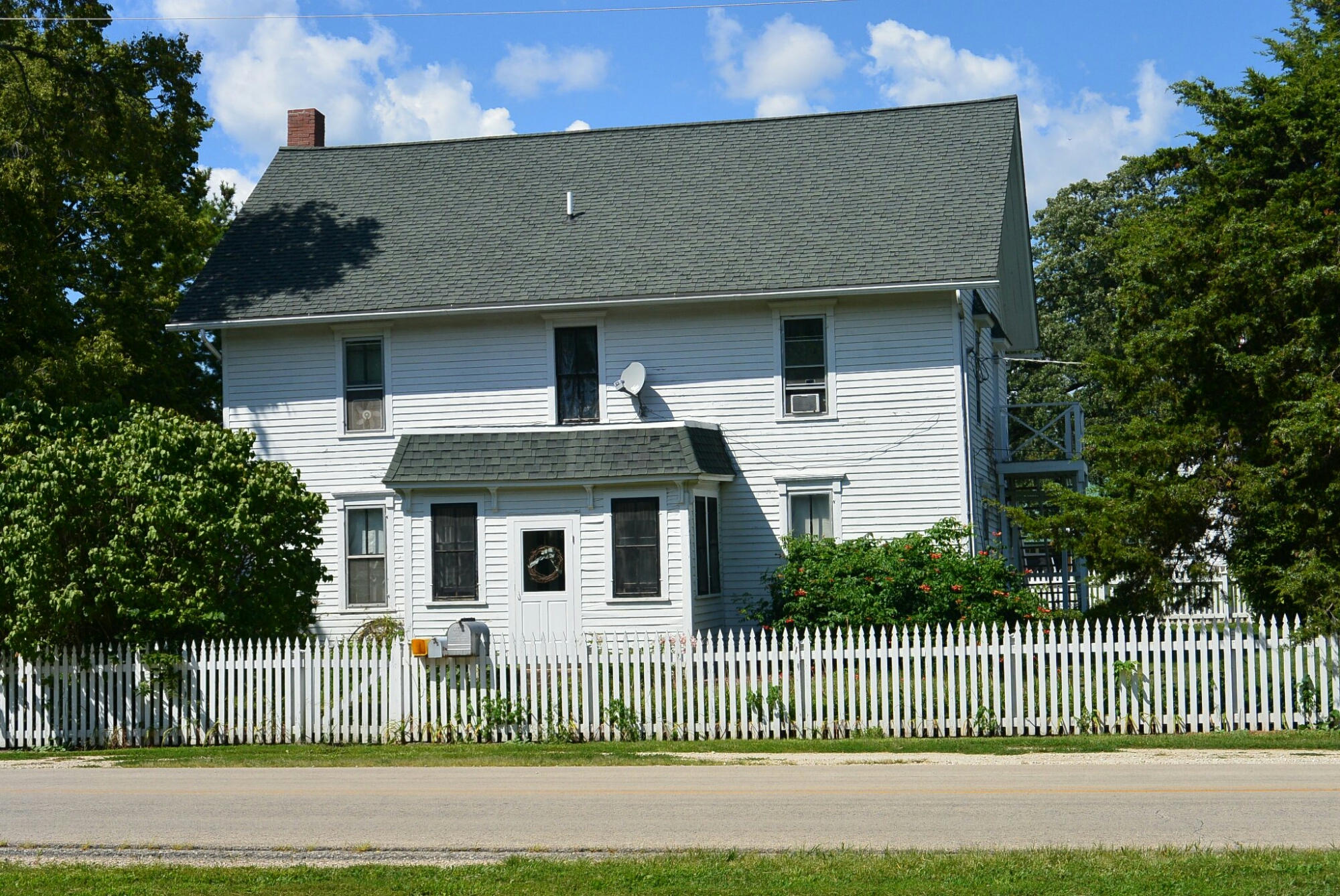
Rutherford Inn Dresden

Rutherford Inn Dresden
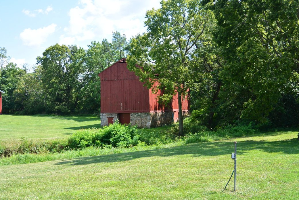
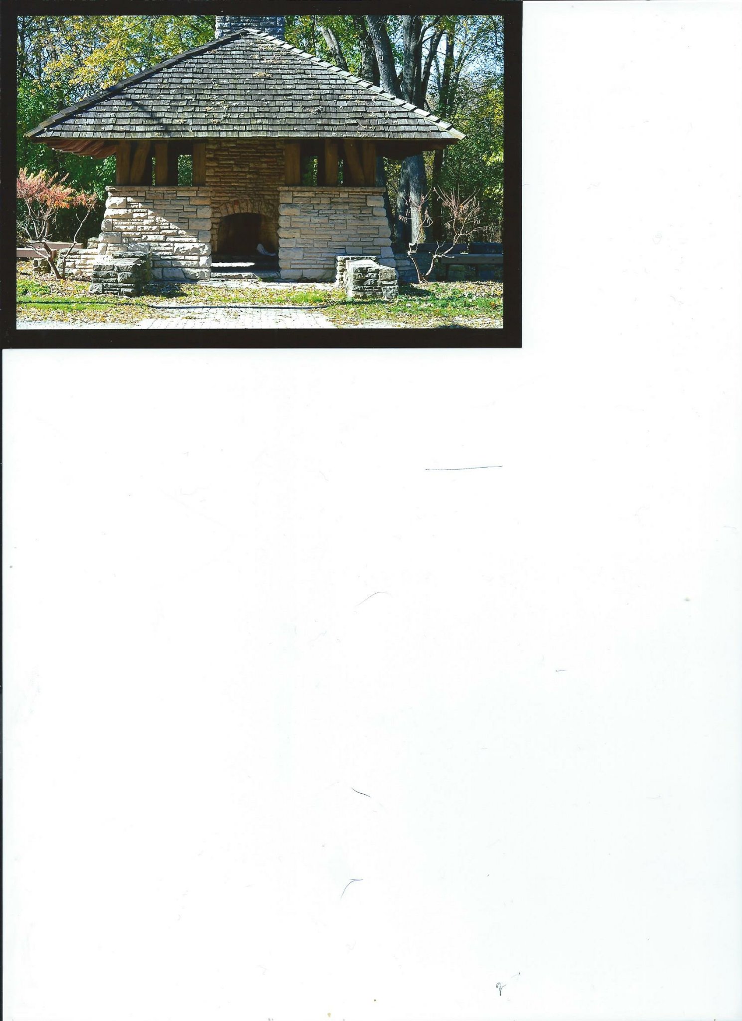
Dresden Mule Barn
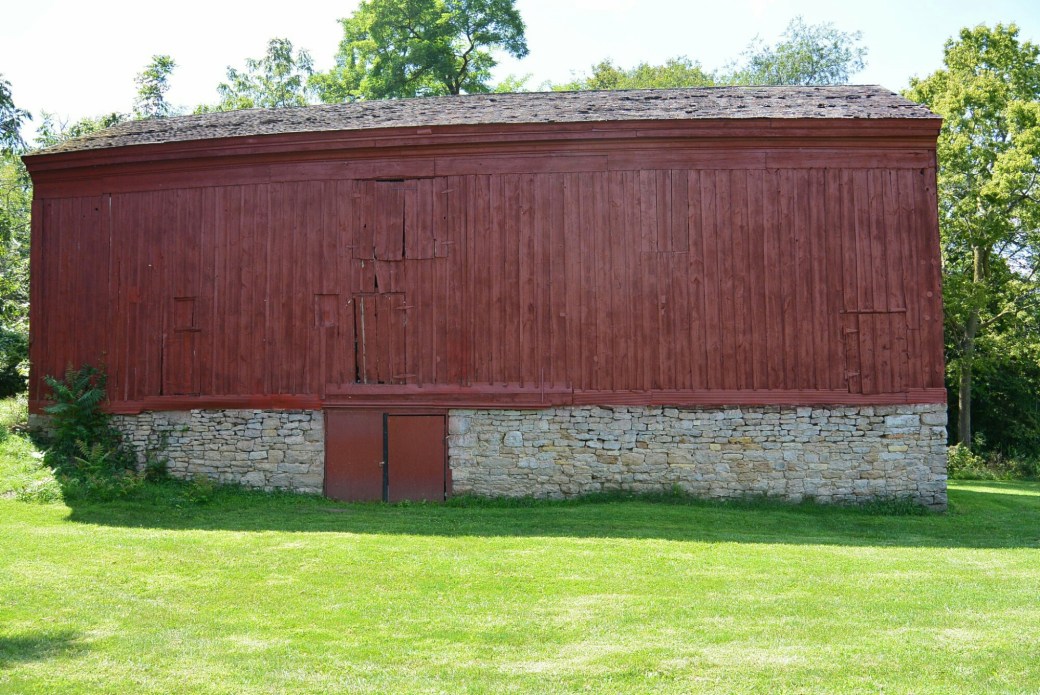
Dresden Mule Barn
Any history of the village of Dresden in Aux Sable Township would be incomplete without considering Salmon Rutherford. He came to the area in 1833. Shortly thereafter he purchased land in Section 26. He established a saw mill on his property. He built the areas first inn. It was called Salmon Rutherford Dresden Inn. This was located on an established road. The Frink and Walker Stage Company stopped at the inn to change horses. A post office was established here for the Dresden area. There was soon a second area inn called Peltier’s.
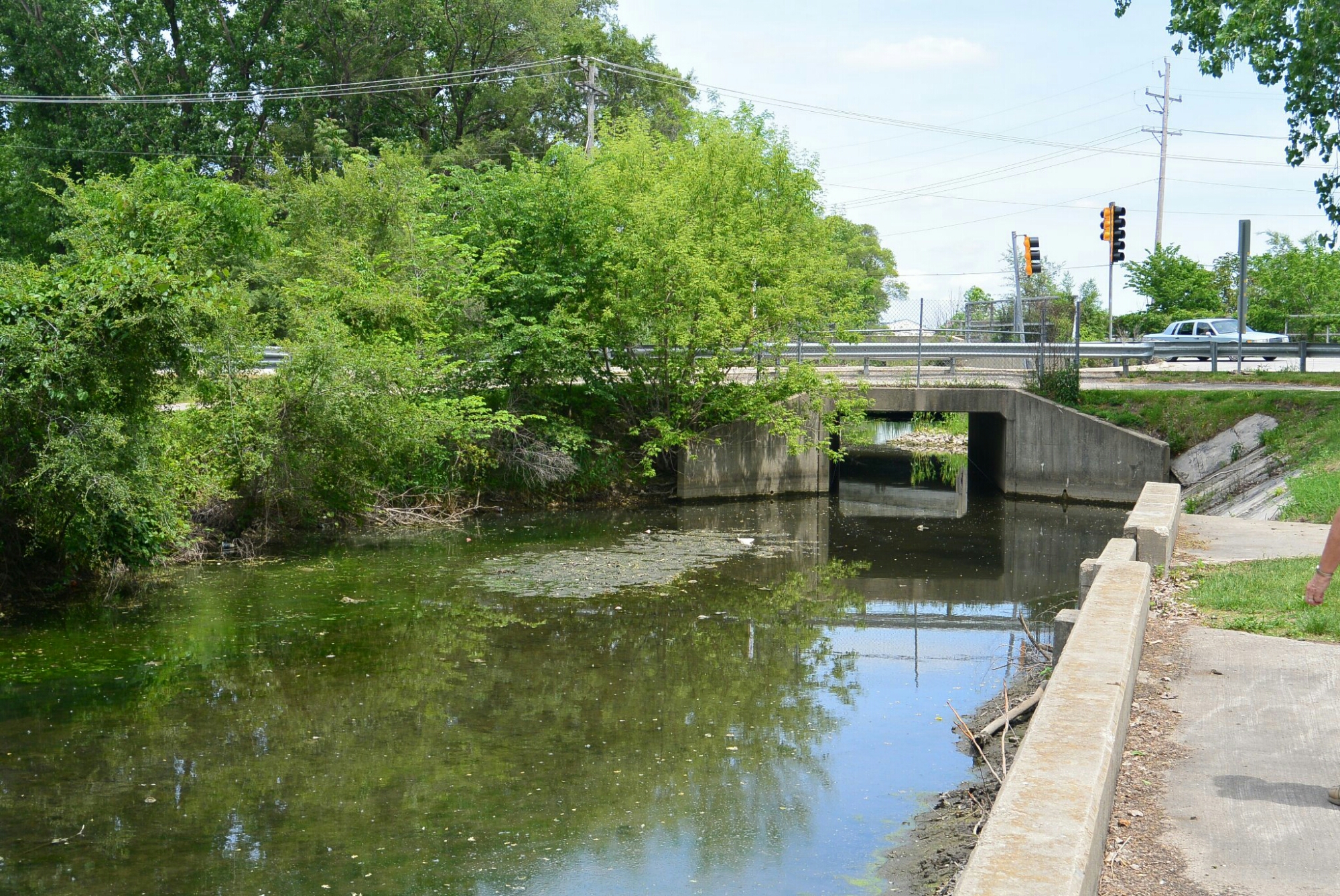
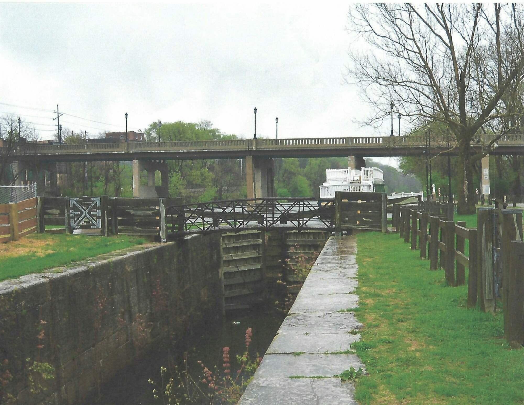
Rutherford also built a barn across the road from the inn. It was adjacent to the Illinois Michigan Canal. It was built in the 1830’s through the 1840’s. It was apparently built in stages to reflect its various uses. It was a grain storage facility, a store, and a mule barn for the canal.
Early in its history, the village of Dresden flourished. Canal workers and surveyors could purchase their supplies here. There was a Catholic Church and Cemetery–Saint Mary’s.
Rutherford had high hopes for the village of Dresden. The area was surveyed and platted in March of 1835. There were 63 blocks. However in 1858, the village began to decline. This occurred when the Rock Island Railroad was located in Minooka bypassing Dresden. No street, alley, or lot was ever opened up, used or improved. No structures were ever built on any lots or blocks of the plat. The plat was vacated in June of 1929.
Remaining structures of Dresden include the Rutherford barn, the inn, and Saint Mary’s Cemetery.

Kankakee
Most people are unaware that before Kankakee, Illinois became the large city in central part of the state, there was another area with the same name.
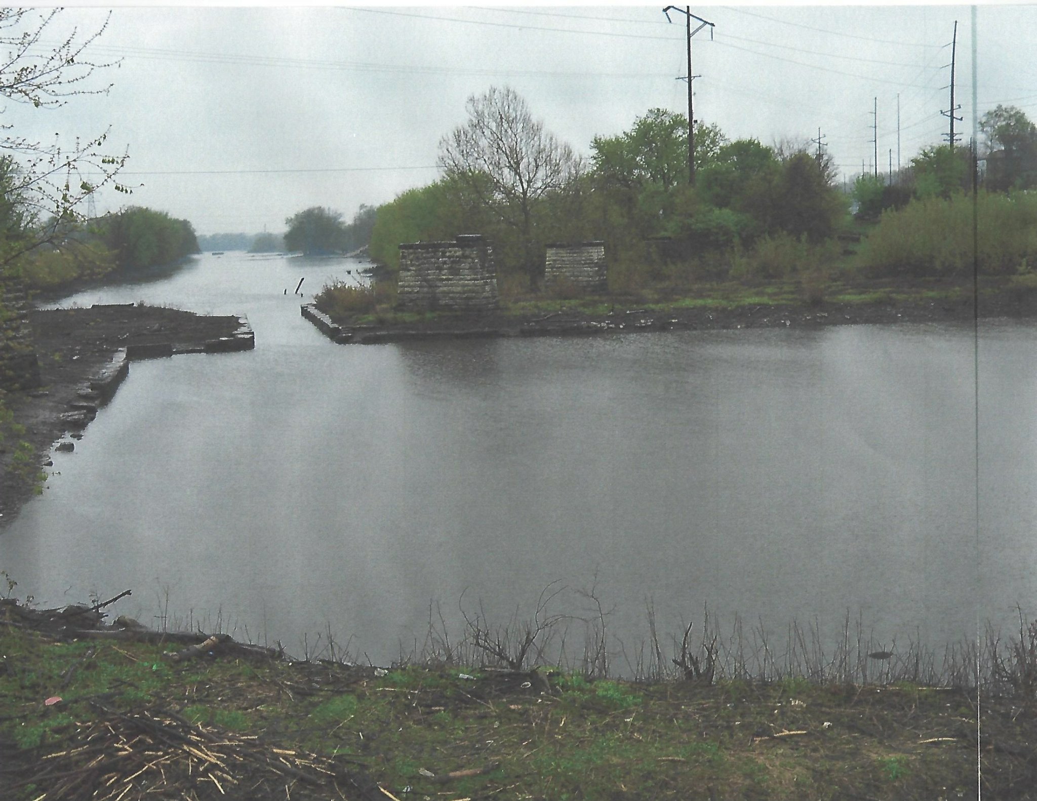
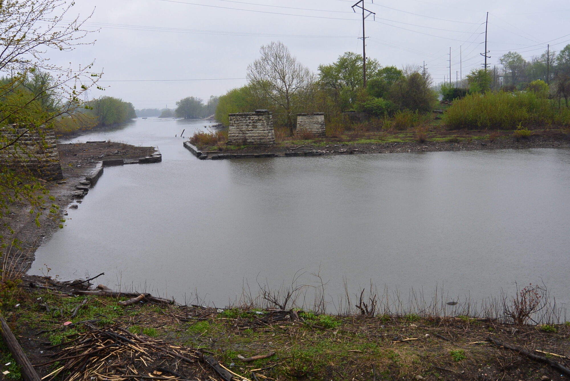
During the years of the construction of the I and M Canal, an area named Kankakee was platted by the commissioners. It was located off the DesPlaines River between its confluence with the Kankakee River and the area where the Kankakee Feeder crossed the DesPlaines River. This is the site of the current McKinley Woods. The area was promoted for settlement but it had no settlers. By 1850, the name was taken the current Kankakee.
DesPlaines River near the site of the proposed town of Kankakee
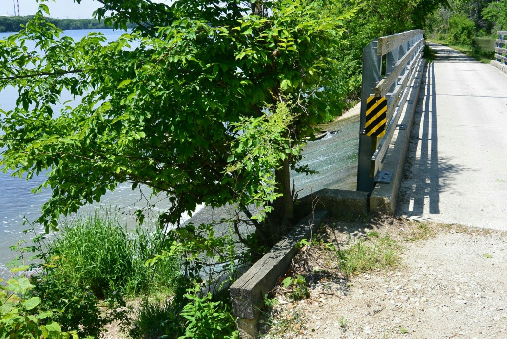
Proposed site of Kankakee
Rockwell
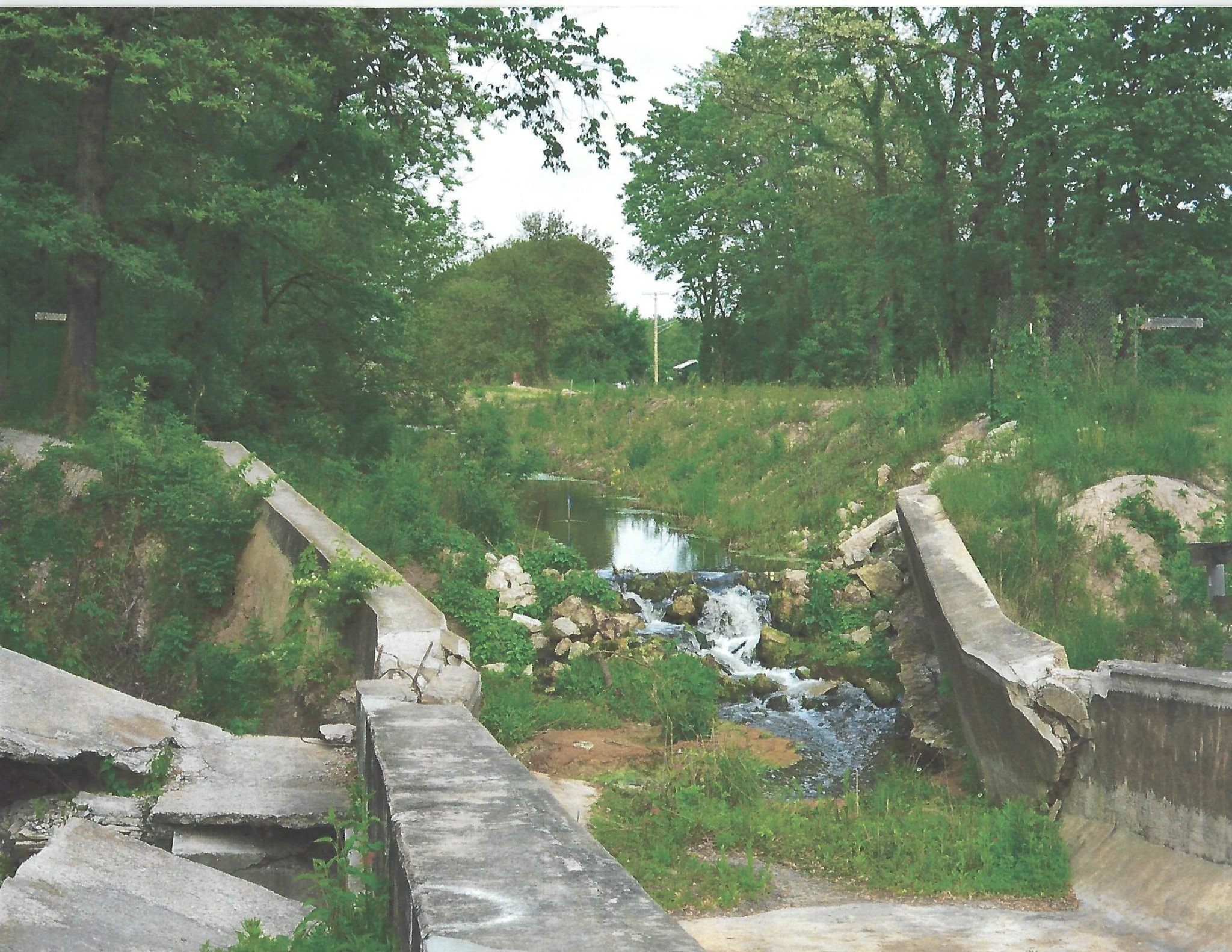
With the planning and construction of the Illinois Michigan Canal and the availability of cheap land, settlers from the Easter U.S. began migration to the area. One such individual that had a role in facilitating this migration was Did well Lathrop. . He arrived in the area near LaSalle, Illinois in 1835. He was an agent for land speculators John and Charles Rockwell of Norwich, Connecticut. His task was to select and purchase land for settlement He selected a half section adjacent to the Illinois River near the mouth of the Pecumsaugen Creek. He assumed the area would be good for development because the rumor was that it would be near the terminus of the I and M Canal. The IC Railroad crossing of the Illinois River was also nearby. He returned to Connecticut after completing the purchase.
In 1836,he returned with his family. He laid out the plat for the town of Rockwell. According to the text of the plat Rockwell “is very pleasantly situated and well supplied with good water, and limestone, and clay for bricks are abundant on the property.” The lot size was 50 x 132 feet.
. By 1838, Rockwell had two hundred residents. The town had two stores, a blacksmith shop, and multiple homes. . Two factors led to demise of the area. In 1838, it was struck by an epidemic of cholera that nearly wiped out the settlers. Eventually, the canal terminus was located west of the town in LaSalle Peru. Ultimately, the town disappeared like many other small settlement s throughout Illinois.