I 57 Bridge over Cal Sag Canal
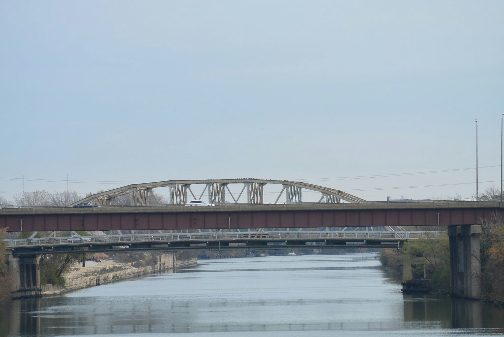
I 57 Bridge is the second bridge in the distance
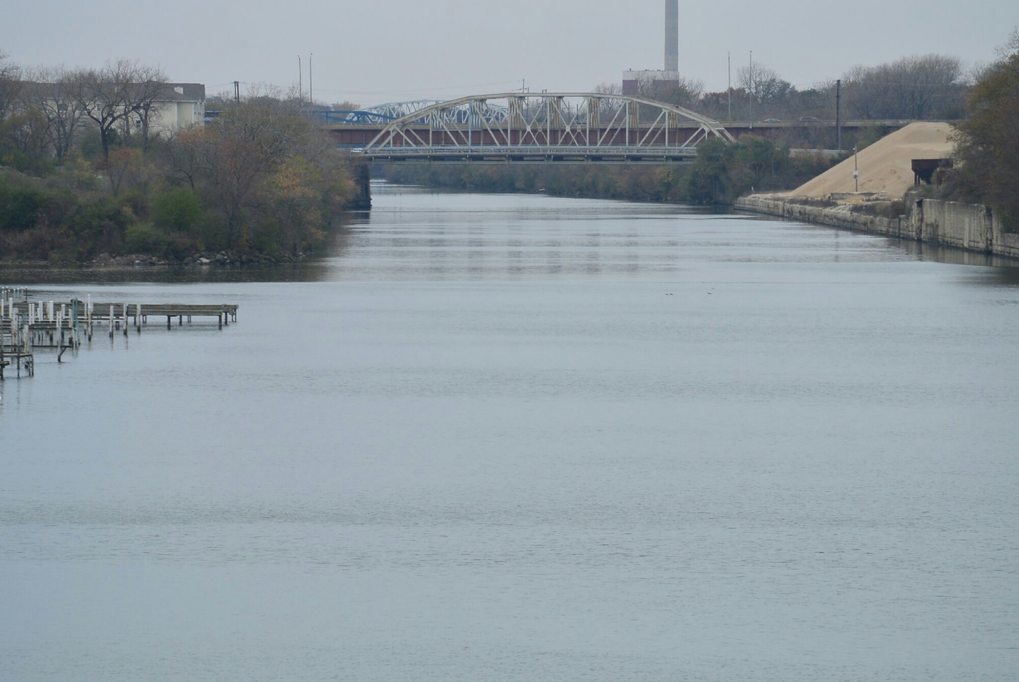
I 57 Bridge is the distant bridge
Following two photos taken 9/21/2018. All images are copyrighted

Cal Sag Canal seen from I 57 Bridge Facing East.

Same as above
I 57 Bridge over Cal Sag Canal
I 57 Bridge is the second bridge in the distance
I 57 Bridge is the distant bridge
Following two photos taken 9/21/2018. All images are copyrighted
Cal Sag Canal seen from I 57 Bridge Facing East.
Same as above
Blue Island Railroad Yard
This is a group of five bridges over the Cal Sag Canal in Blue Island, Il. Adjacent bridges are Francisco Avenue and Metra Cal Sag Bridge.
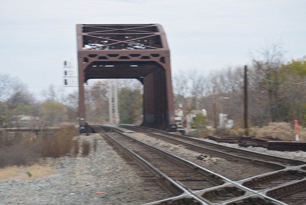
Blue Island Railroad Yard
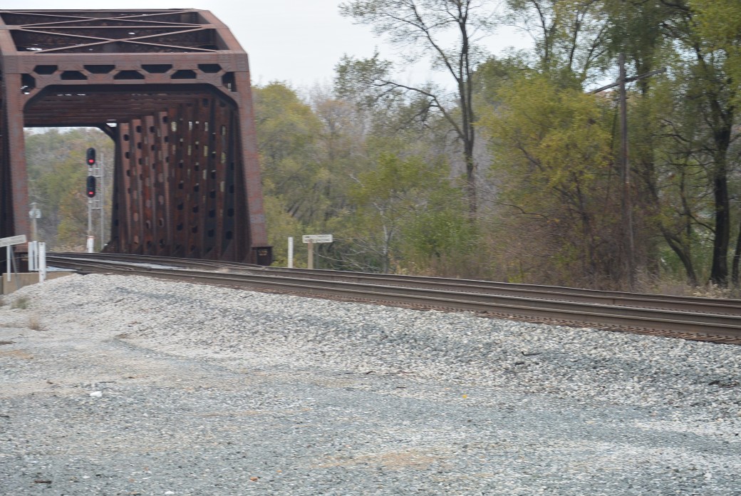
Blue Island Railroad Yard
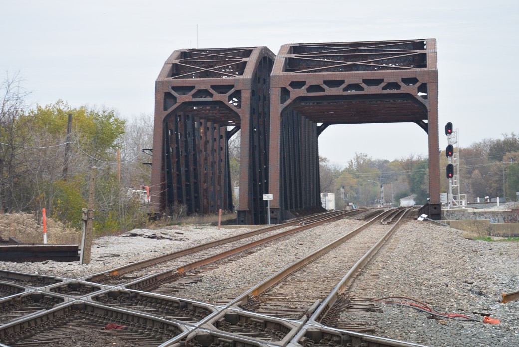
Blue Island Railroad Yard
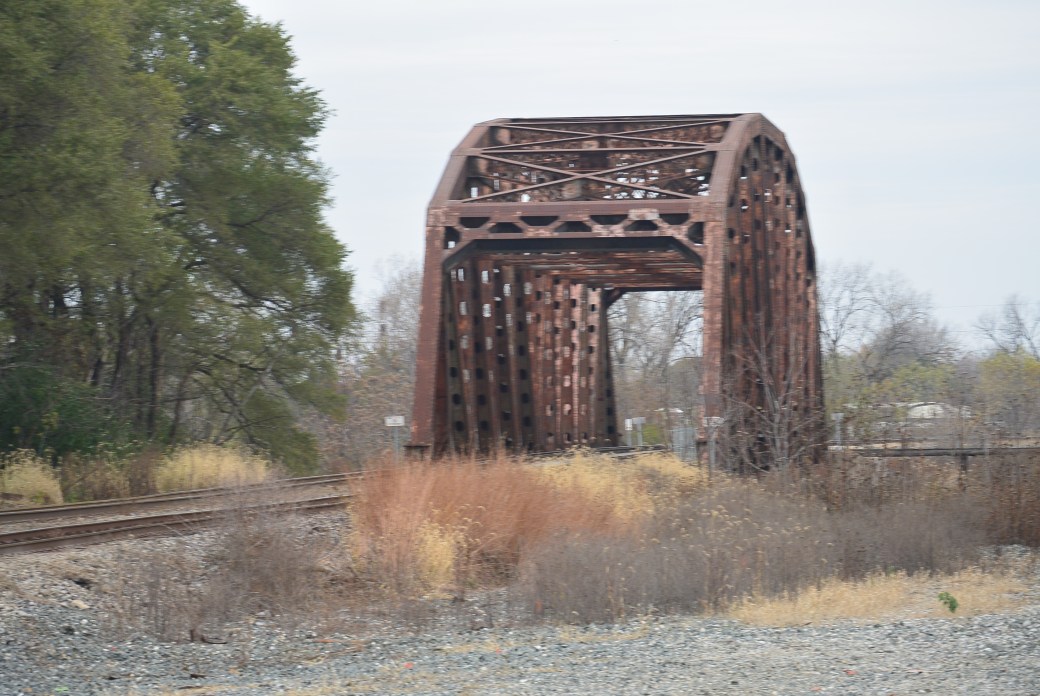
Blue Island Railroad Yard
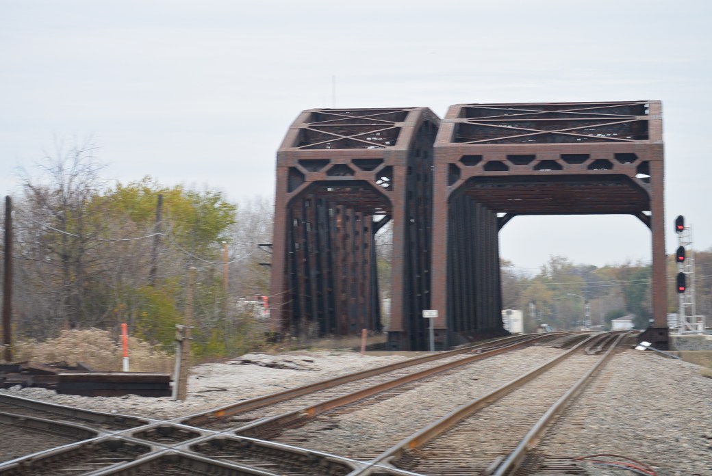
Blue Island Railroad Yard.
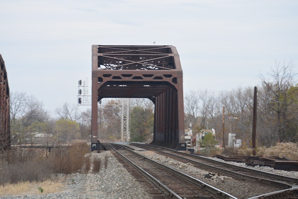
Blue Island Railroad Yard
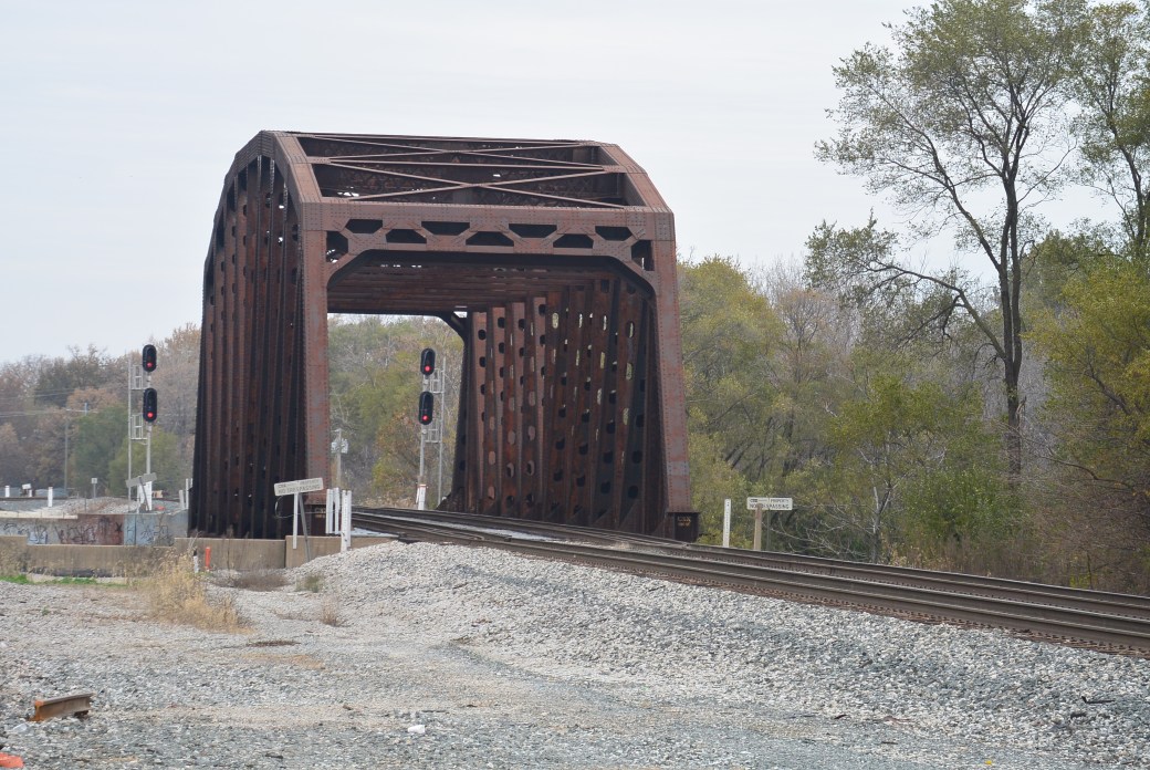
Blue Island Railroad Yard
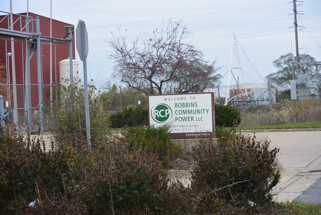
Robbins Community Power, LLC on Kedzie Avenue
Occasionally, while taking pictures of the bridges on the various Chicago waterways, I run across an interesting facility that is an incidental finding. One such organization is the Robbins Community Power, LLC. This is located on Kedzie Avenue near the Cal Sag Canal in Robbins, Illinois

Same as above
There are red colored buildings present. There is a very tall chimney. A corporation known as Foster Wheeler built the Robbins plant in the early 1990’s. This was designed to produce electricity by burning trash. Unfortunately during the years, the process became too expensive to be profitable. This was due in part to the withdrawal of state subsidies. While in operation, the facility had a troubled history. It was cited on numerous occasions for emitting excessive pollution. Foster Wheeler eventually went bankrupt and closed the facility. The facility has sat empty for more than 6 years.
The facility fell into the hands of Citigroup after the bankruptcy. Sylvan Power Company bought the plant. Their goal is to obtain a permit from the Illinois Environmental Protection Agency to convert the waste incinerator into a wood burning power plant. It would produce steam and electricity. The facility would require 350,000 tons of wood annually. Source of the wood would be from a variety of places where the wood is broken down and recycled. Projected capacity of the plant would be 50 megawatts per hour.

Same as above
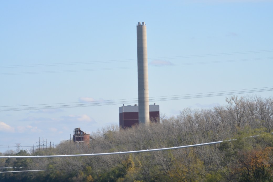
Same as above
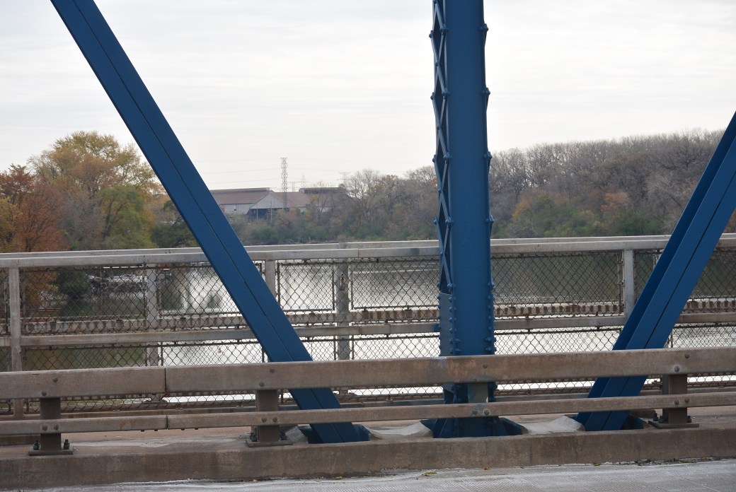
Halsted Street Bridge over the Little Calumet River View from the Bridge
The Halsted Street Bridge spans the Little Calumet River in Chicago. Adjacent bridges are the Ashland Avenue Bridge and the Penn Central Railroad Bridge. Bridge description is as follows: metal 10 panel rivet-connected Parker through truss, fixed and approach spans: pre-stressed concrete stringers (multi-beam), fixed. The bridge was constructed in 1931 making it one of the older ones on the Calumet Waterway. The bridge was rehabbed in 1996 and again in 2016-2017.
The builder/contractor is unknown. There is on main span and 2 approach spans. Main span measures 230 feet. Structure length is 420.3 feet. Roadway width measures 44 feet.
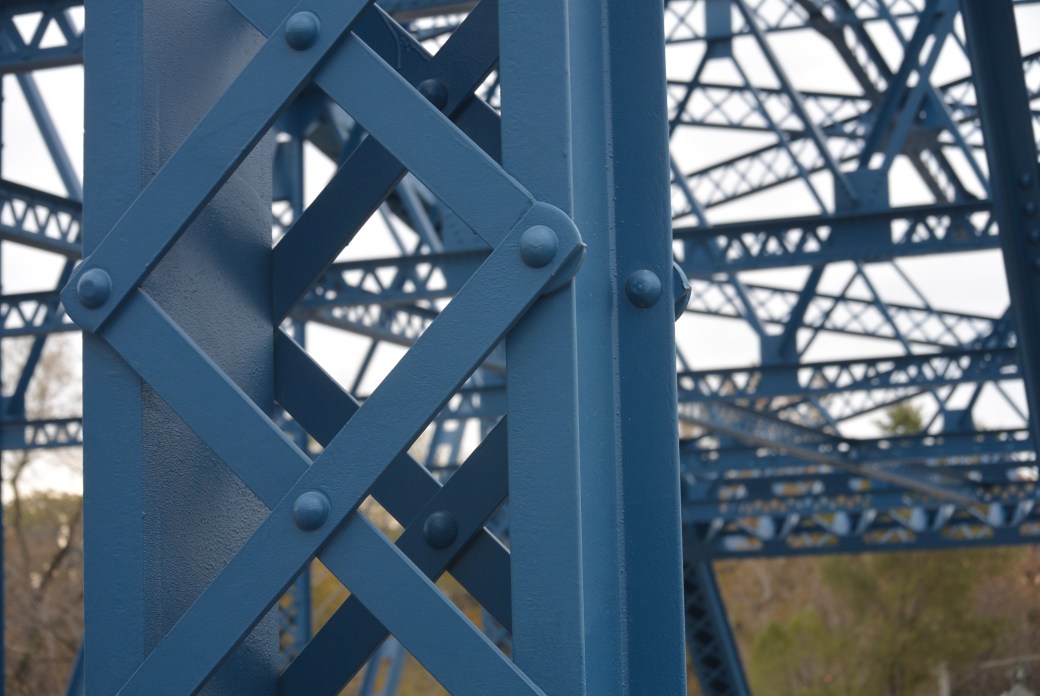
Halsted Street Bridge
Because this is an older bridge, it exhibits some unusual features: all of the connections are riveted; there is extensive use of built up beams with attractive lattice and v-lacing. Originally, there was a lattice railing for the sidewalk of the of the truss span. This was removed.
Originally, there was a wooden bridge 200 feet down stream from the current bridge. That was removed and replaced with the current structure.
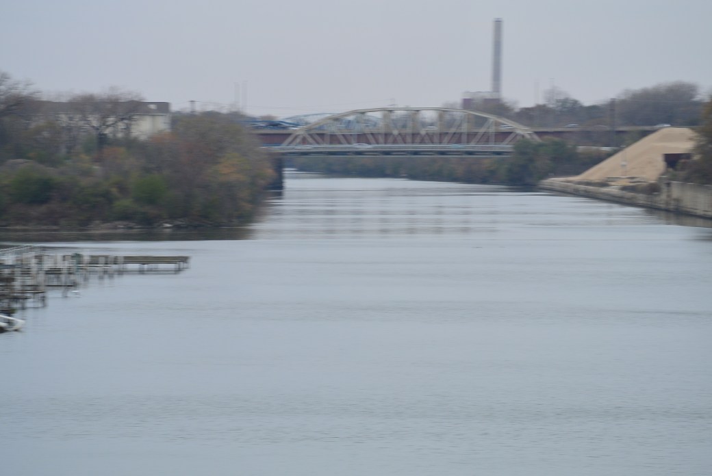
View from the Halsted Street Bridge. Bridges seen in the distance–Ashland Avenue and I 57
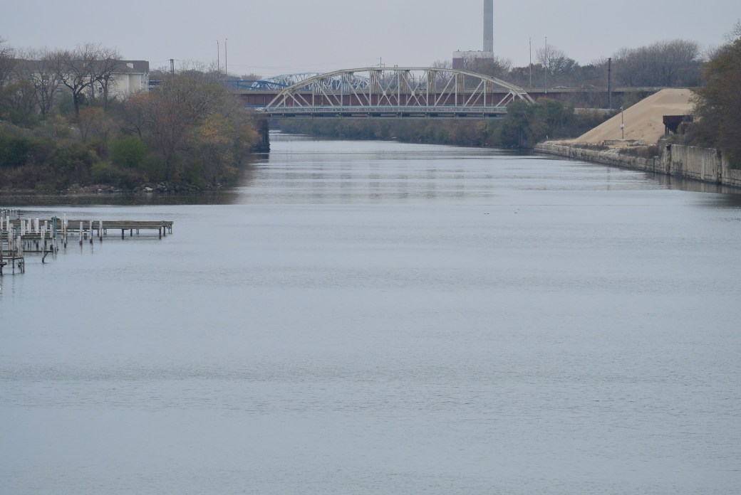
Same as above
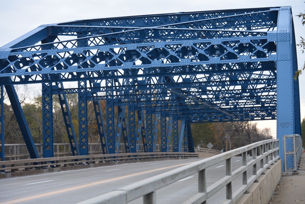
Halsted Street Bridge
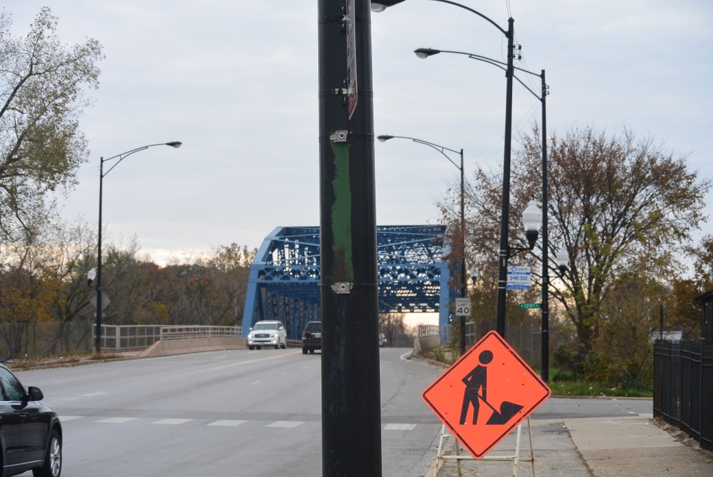
Halsted Street Bridge
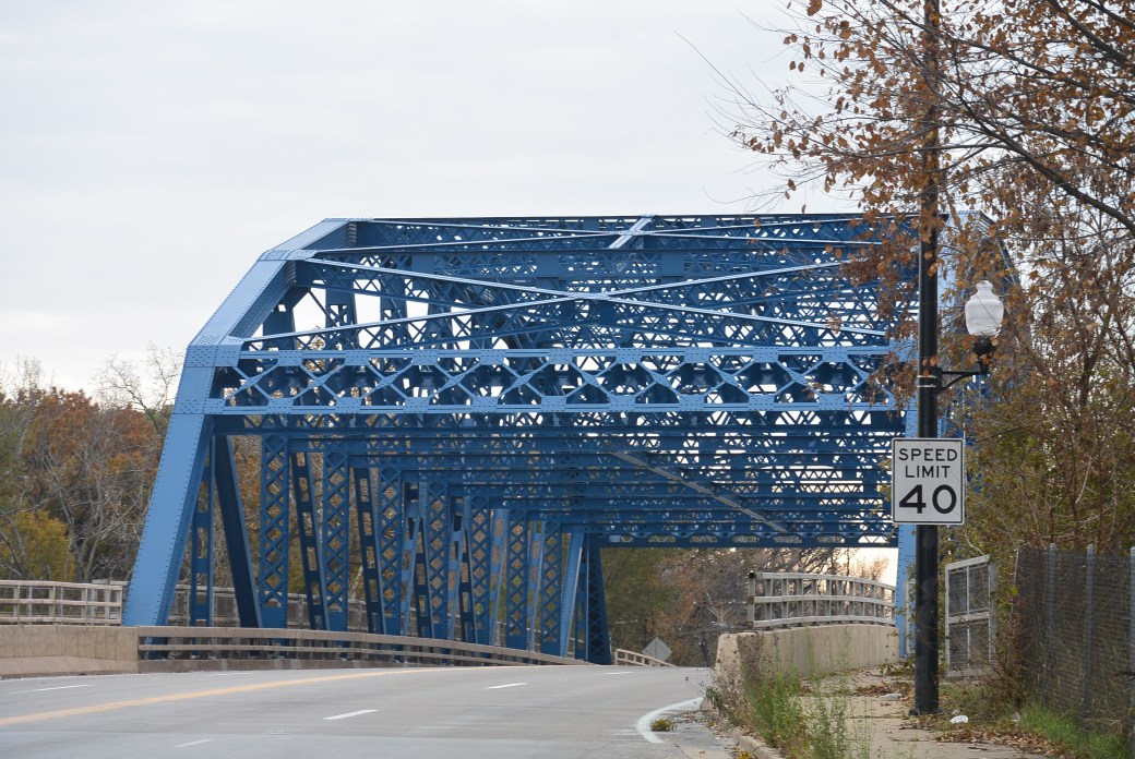
Halsted Street Bridge over Little Calumet River.
Bridge Inspection as of 3/2013
Deck Condition Rating Good 7 out of 9
Superstructure Condition Rating Fair 5 out of 9
Substructure Condition Rating Satisfactory 6 out of 9
Appraisal functionally obsolete.
Kedzie Avenue Bridge
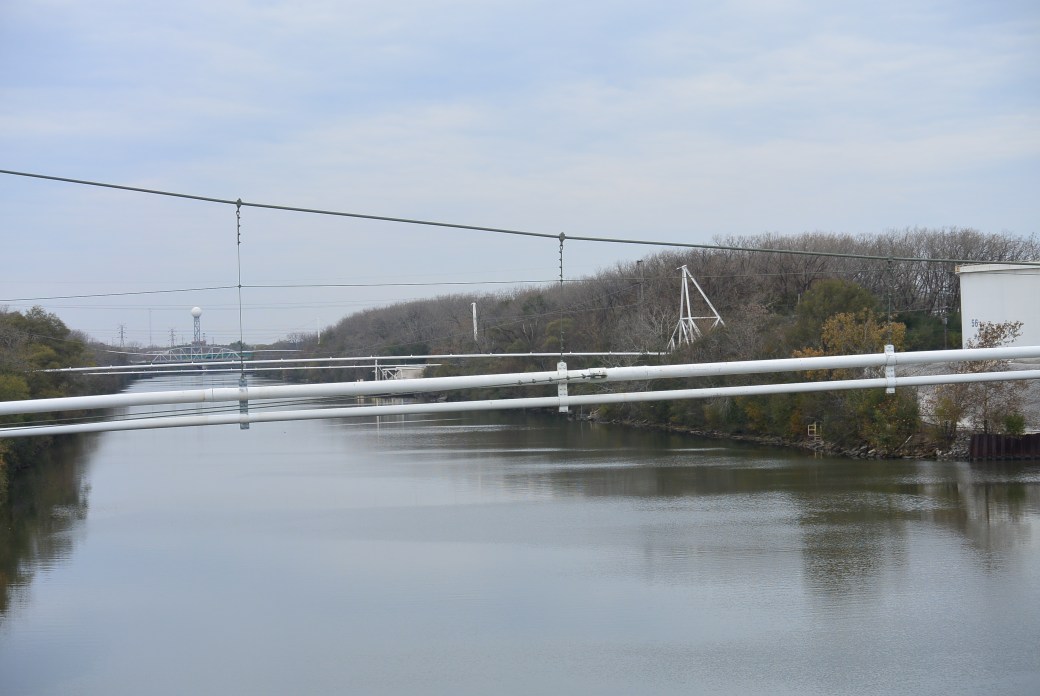
Alsip Tank Farm
Alsip Tank Farm
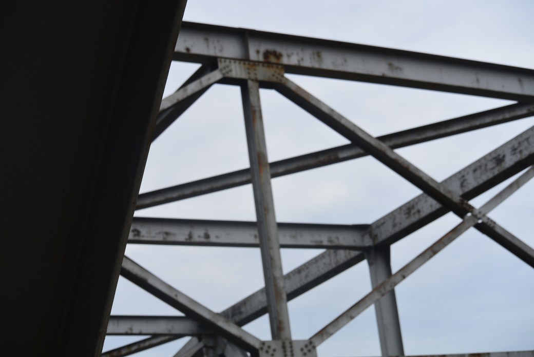
The Kedzie Avenue Bridge crosses the Cal Sag Canal in Robbins, Il. It is situated between the Crawford Avenue and the Francisco Avenue Bridges. It was built in 1964. The builder/contractor is unknown. Engineer/Design was Alfred Benesch and Associates. Chicago, Illinois.
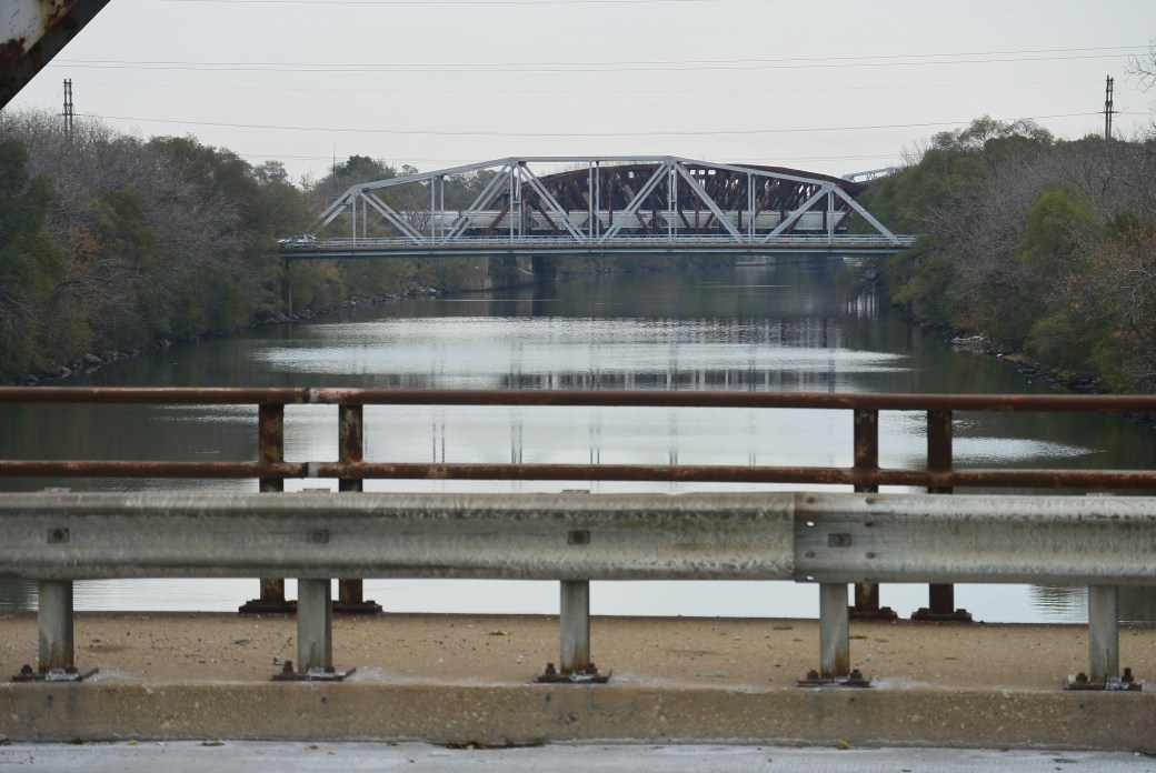
View from the Kedzie Avenue Bridge. Francisco Avenue and Blue Island Yard Bridges
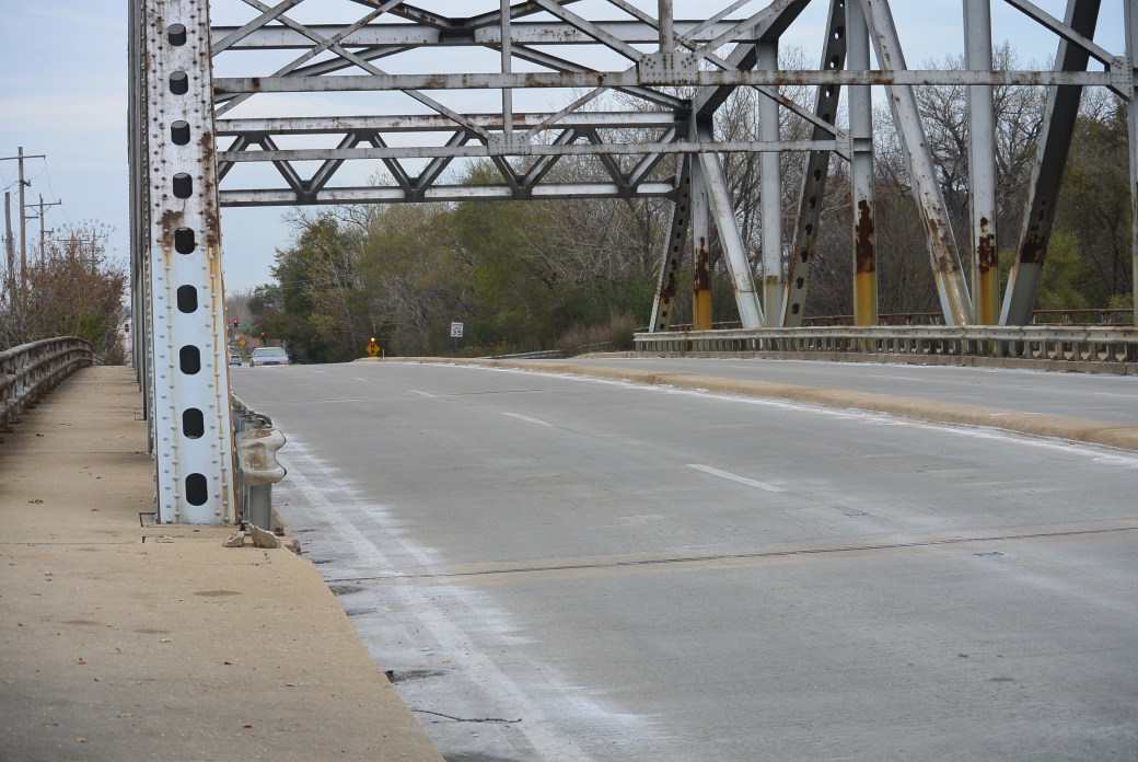
Kedzie Avenue Bridge
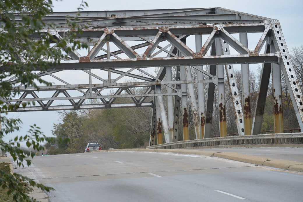
Kedzie Avenue Bridge
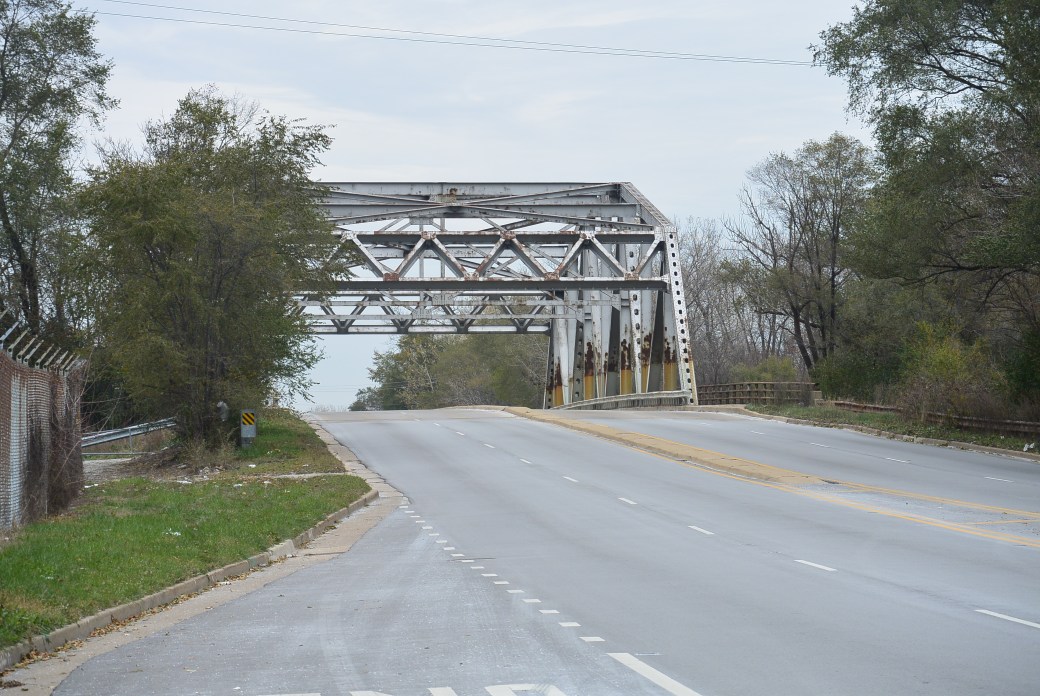
Kedzie Avenue Bridge
Kedzie Avenue Bridge
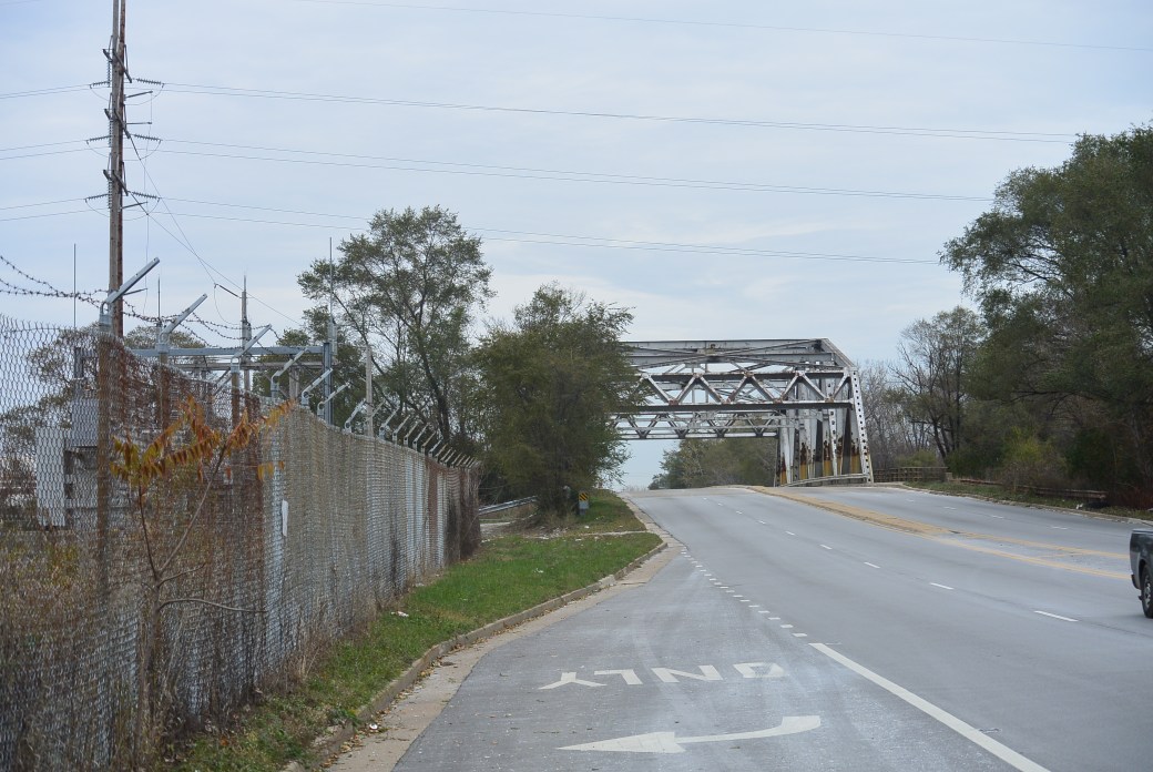
The bridge type is metal 8 panel bolt–connected polygonal warren through truss, fixed and approach spans: metal stringer (multi-beam), fixed. There is one main span and 3 approach spans. Main span measures 254 feet. Structure length is 348 feet. Roadway width measures 53.2 feet.
Findings that distinguishes as a more recent bridge include: wide truss bridge, use of rolled and built-up beams for truss members,rivets for built-up beams and bolts for connections.
Bridge Inspection 3/2012
Deck Condition Rating Satisfactory 6 out of 9
Superstructure Condition Rating Fair 5 out of 9
Substructure Condition Rating Satisfactory 6 out of 9
Sufficiency Rating 44 out of 100
In the year 1889, subsidiary of the C&NW RR. known as the Junction Rail Road was developed to build a bypass from the main line in Evanston at Simpson Street and Green Bay Road. It extended southwest along what was known at the Big Ditch (predecessor or the North Shore Channel) to the Mayfair Junction in Chicago. The purpose of this bypass was to alleviate congestion on the main line of the C &NW. It predominately handled freight and industrial costumers.
The village of Evanston required the C&NW RR to also provide passenger service on this line. Depots were built at Emerson Street, Greenwood Boulevard and the Weber Yard. There were three trains per weekday. Eventually this service was discontinued.
The Chicago and West Ridge Railroad was a railroad spur branching off the Mayfair Cut near Oakton Street and extending to Lincoln Avenue. This was originally built by the C&NW RR. Barney Weber purchased the line in 1897. The C &NW purchased it back in 1917. At the north end of the track was the Weber Yard. This was a rail service facility that provided car storage and engine servicing. This line serviced multiple brick yards and and flower nurseries.
Virtually nothing remains of the Mayfair Cut off and the Chicago and West Ridge Railroad.
Just south of Oakton Street, the author has encountered a bridge crossing the North Shore Channel. This likely is a remnant of the Chicago and West Ridge RR
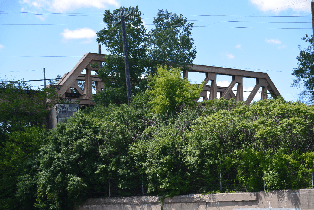
Former North Shore Viaduct over the canal; now Yellow Line

?Chicago West Ridge RR

?Chicago West Ridge RR
Chicago West Ridge RR

Chicago West Ridge R.R
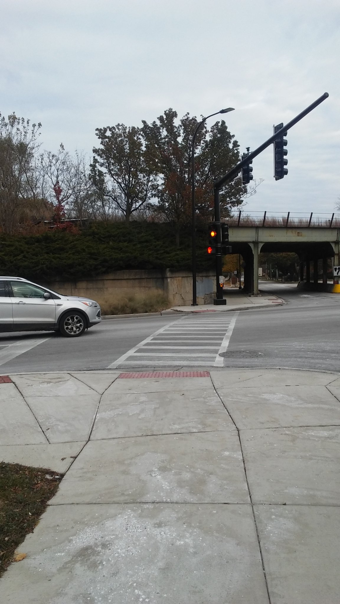
Green Bay Road and Simpson Street. It was at this site that there was a Canal Tower. It regulated traffic on the main line and the Mayfair cut off
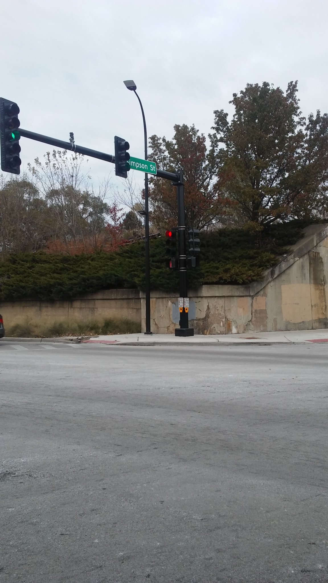
Same as above
Possible Remnant of Viaduct on Green Bay Road related to Mayfair Cut off
Same as above
Same as above
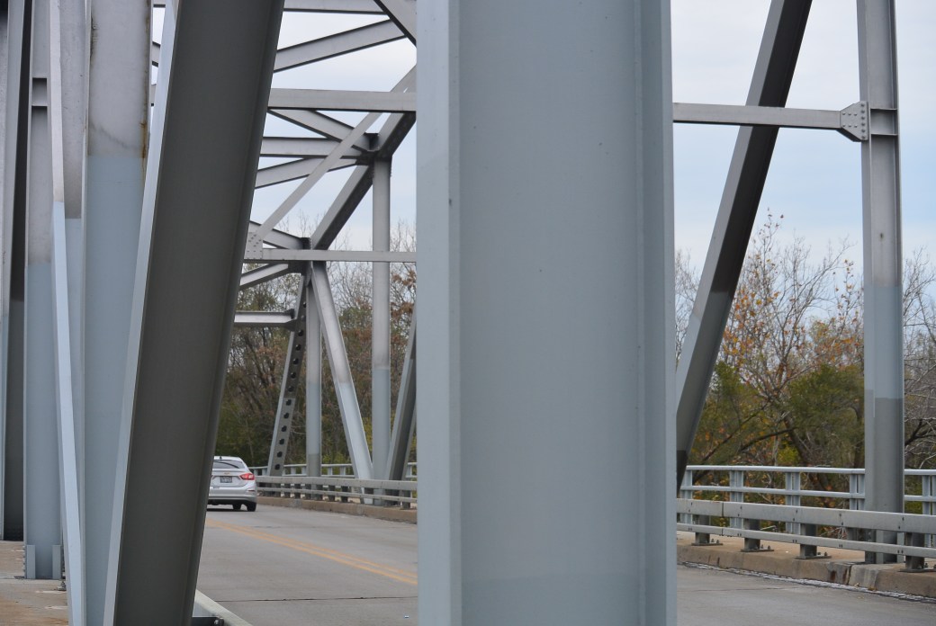
Francisco Avenue Bridge
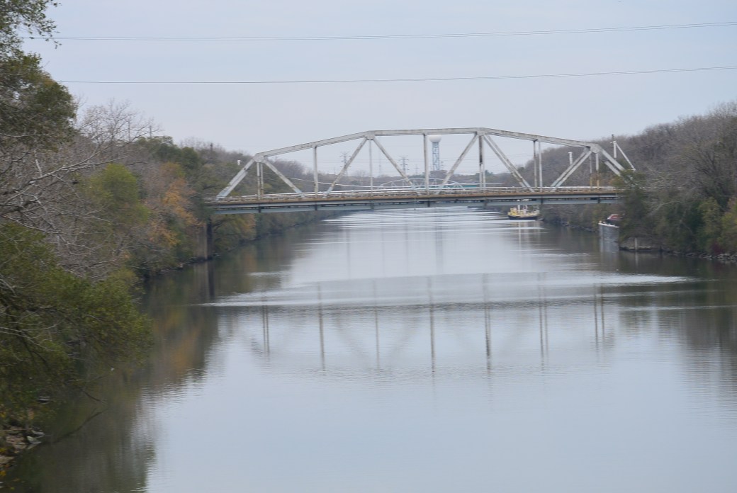
Francisco Avenue Bridge looking at the Kedzie Avenue Bridge
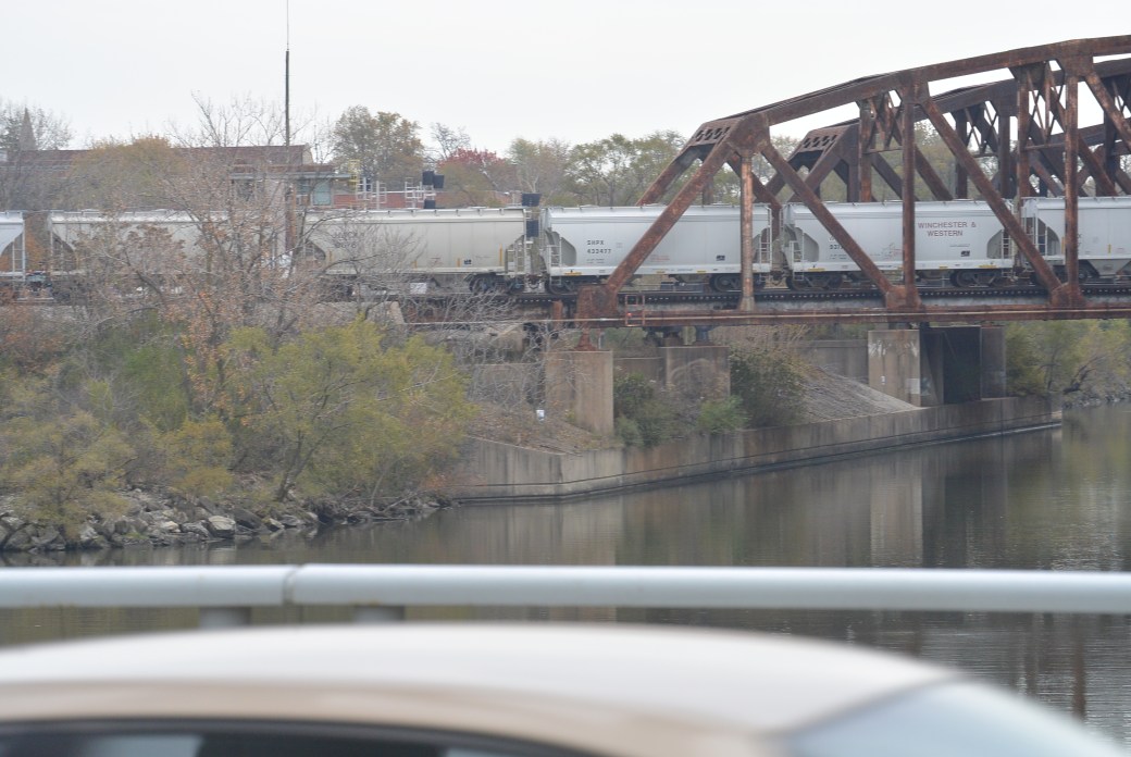
Blue Island Yard Bridge
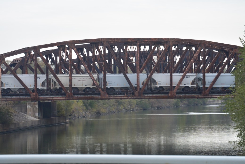
Blue Island Yard Bridge
The Francisco Avenue Bridge crosses the Cal Sag Canal in Blue, Island, Il. It is located between the Kedzie Avenue and the Blue Island Yard Bridges. It is a metal 8 panel bolt–connected polygonal Warren through truss, fixed and approach spans: metal stringer (multi-beam), fixed. There is one main span and 3 approach spans. The main span measures 252 feet. The structure measures 364 feet. Roadway width is 28 feet.
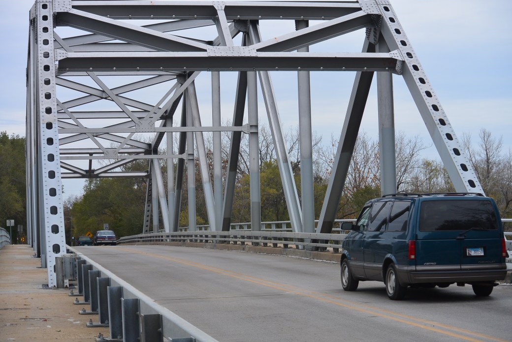
Francisco Avenue Bridge
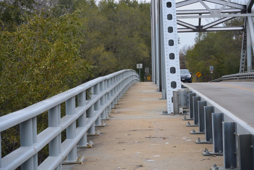
Francisco Avenue Bridge
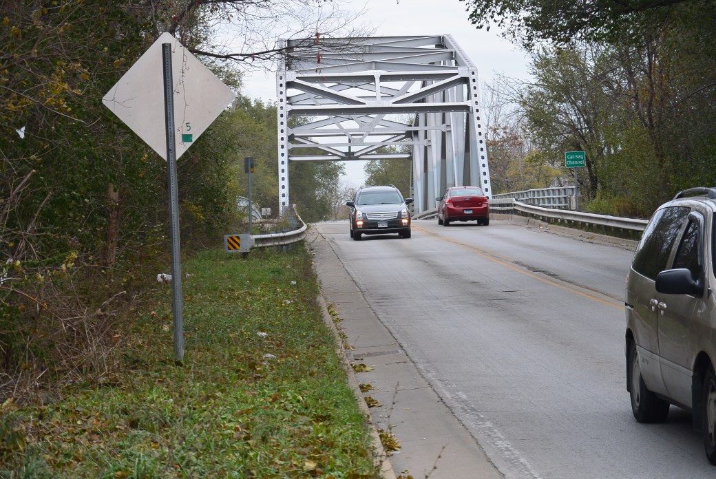
Francisco Avenue Bridge
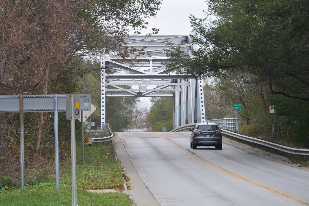
Francisco Avenue Bridge
The bridge was built in 1969. The builder/contractor is unknown. The engineer design was Alfred Benesch and Associates, Chicago, Il.
Inspection as of 10/2012
Deck Condition Rating Satisfactory 6 out of 9
Superstructure Condition Rating Poor 4 out of 9
Substructure Condition Rating Satisfactory 6 out of 9
Appraisal Structurally Deficient
Ogden Slip is a man made channel. It is located North of the Chicago River. It was built in 1869 by the Chicago Dock and Canal Company. It was built to provide more space for docks and warehouses in the Chicago River area. It was originally designed for commercial ships.The
It was partially filled. It is now used for recreational boats. Along the slip, there is high end housing and upscale restaurants.
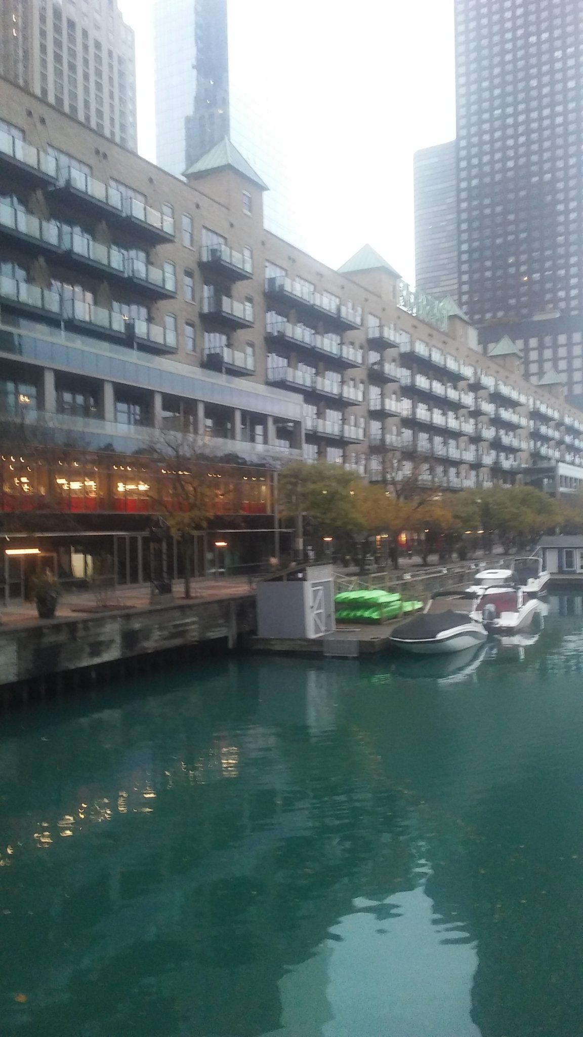
Ogden’s Slip
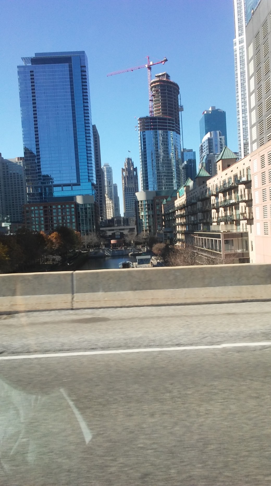
Ogden’s Slip as seen from Lake Shore Drive

Ogden’s Slip

Ogden’s Slip

Ogden’s Slip

Ogden’s Slip

Ogden’s Slip

Ogden’s Slip

Ogden’s Slip
(images to follow)
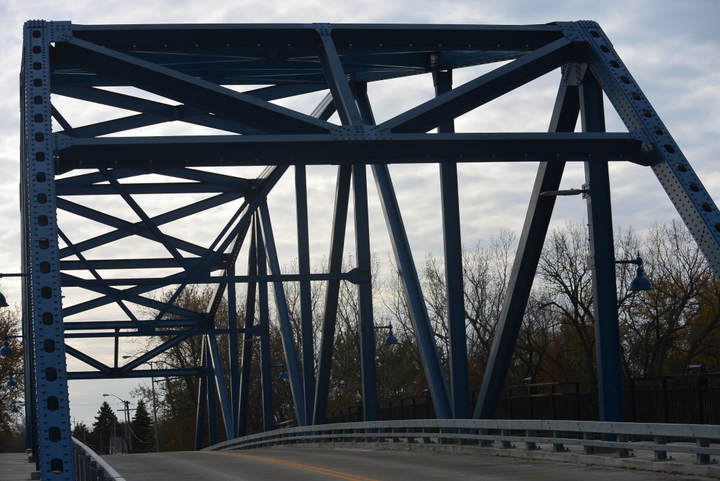
This bridge crosses the Cal Sag Canal in Blue Island, Il. It lies between the Chatham Street and the I 57 bridges. It was built in 1964. The builder was unknown. Design\Engineer was Alfred Benesch and Associates, Chicago.
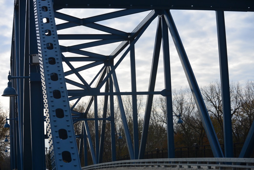
It is a metal 8 panel bolt-connected polygonal Warren through truss, fixed and approach spans :metal stringer (multi beam), fixed. There is one main span and 3 approach spans. Main span measures 289.7 feet. Structure length is 371 feet. Roadway width measures 30 feet.
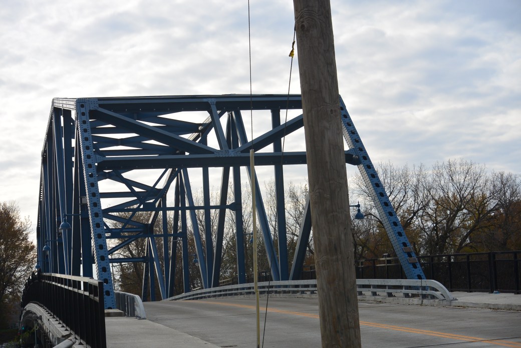
Division Street Bridge
Division Street Bridge
This bridge is near identical to the Chatham Street Bridge. Similar to this bridge, the Division Street Bridge was poorly maintained. It is an excellent excellent example of a 1960’s truss bridge. For safety reasons, it was closed in 2010. It underwent an extensive renovation in 2016 and was reopened to traffic
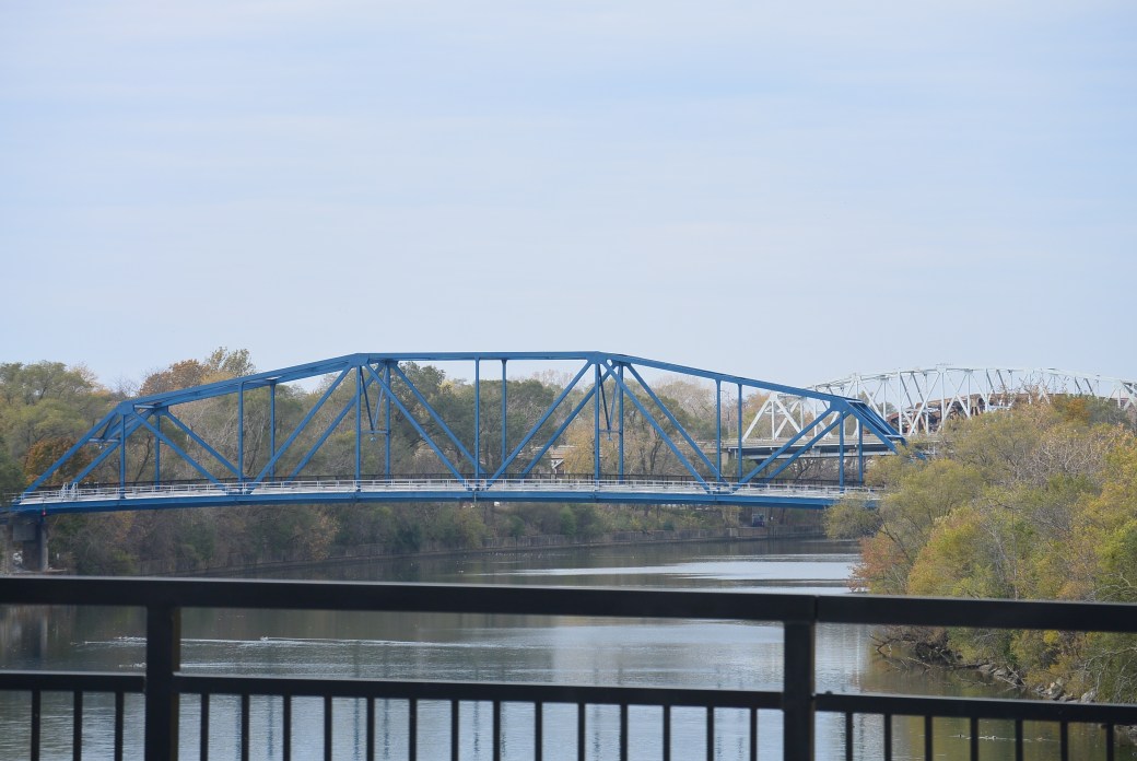
Division Street Bridge View Chatham Ave and Western Ave Bridges are seen in the distance
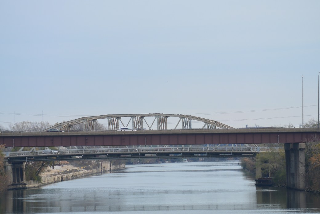
View from the Division Street Bridge. I 57 and Ashland Ave Bridges are seen
Division Street Bridge
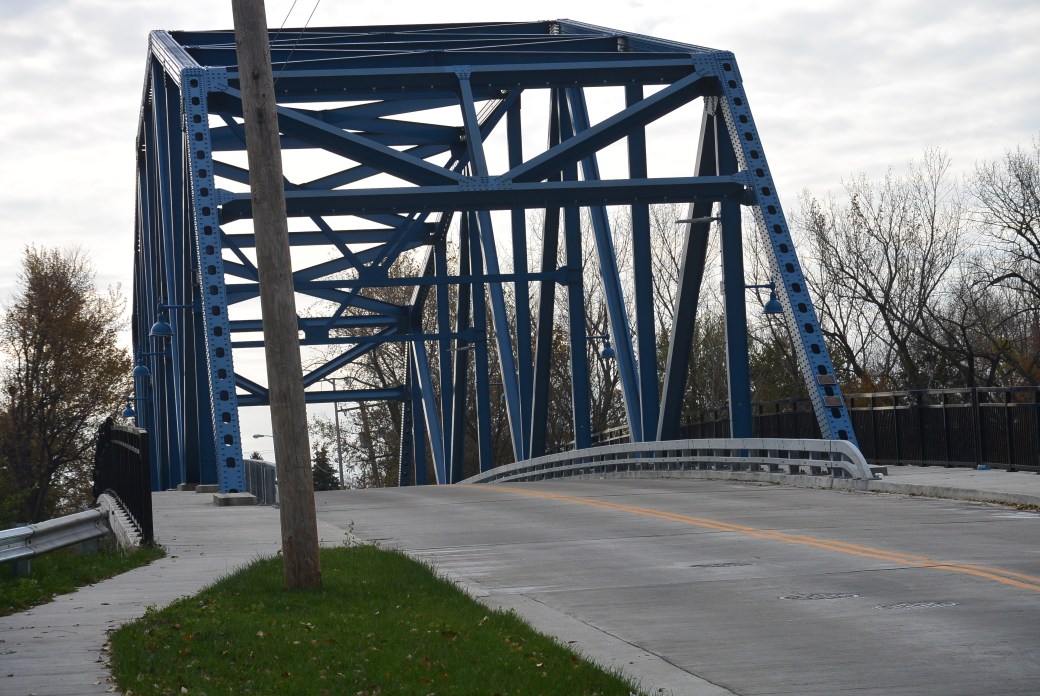
Division Street Bridge
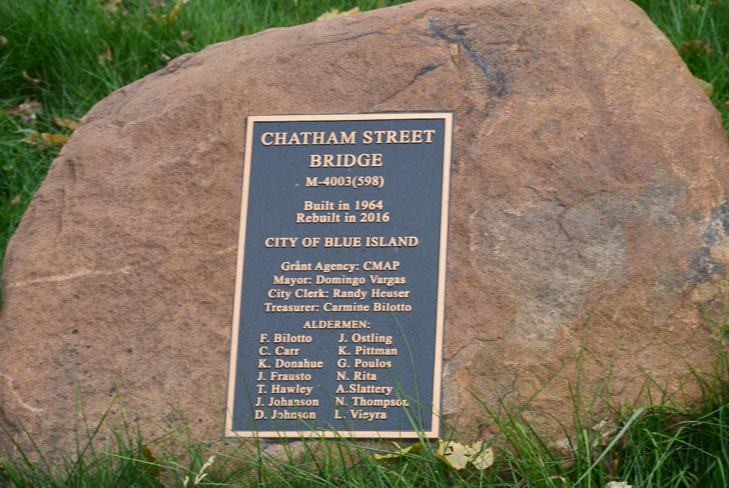
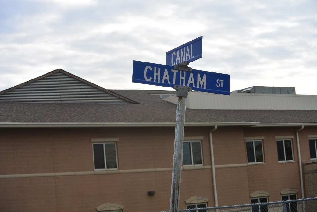
Marker Chatham Avenue Bridge
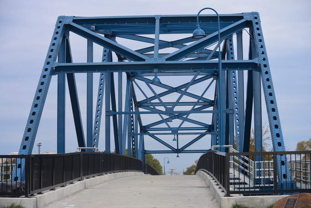
Chatham Avenue Bridge
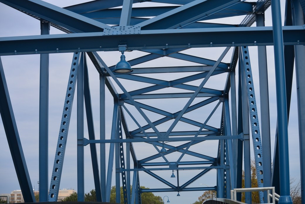
Chatham Avenue Bridge
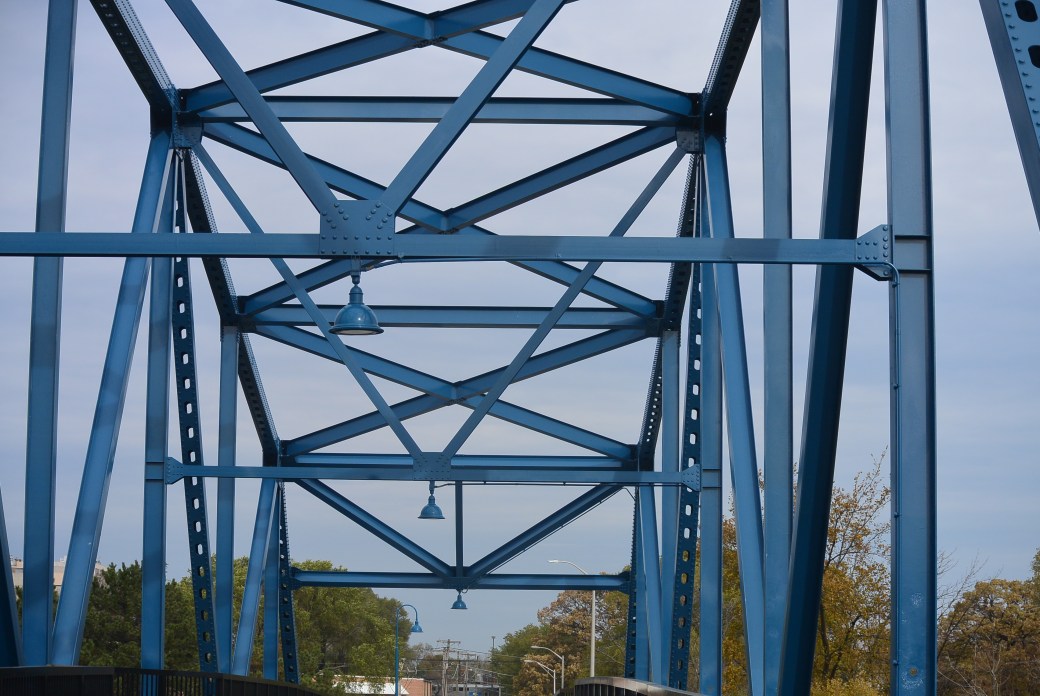
Chatham Avenue Bridge
The Chatham Street Bridge crosses the Cal Sag Canal in Blue Island, Il. It lies between the Division Street and the Western Avenue Bridges. It was built in 1964. The builder is unknown. Engineer/Design was Benesch and Associates, Chicago.
View from the Chatham Avenue Bridge. In the distance are the Division Street and the I 57 Bridges
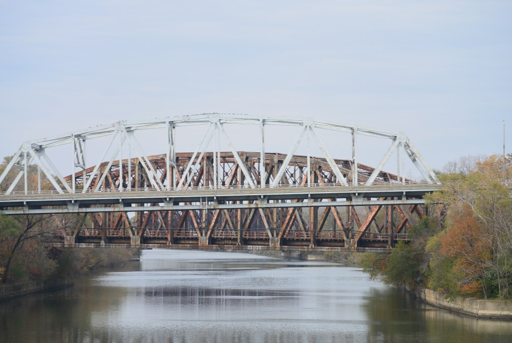
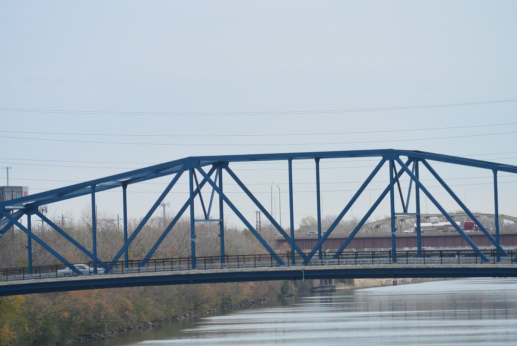
View from the Chatham Avenue Bridge. Western Avenue and Metra Cal Bridges in the distance
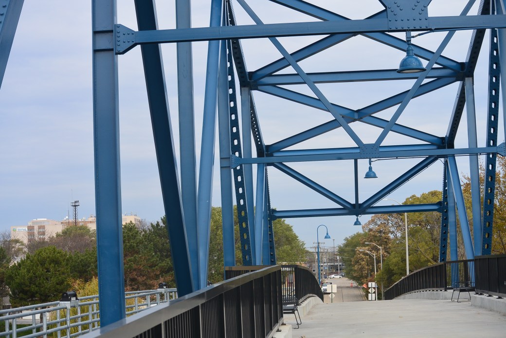
Chatham Avenue Bridge
It is a metal 8 panel bolt-connected polygonal Warren through truss, fixed and approach spans; metal stringer (multi-beam). fixed. There is one main span and 3 approach spans. The largest span measures 303.7 feet. Total structure length measures 384.7 feet. Roadway width is 29.8 feet.
From the time of its construction until 2010, little maintenance was performed on the bridge. This resulted in severe deterioration and eventual closure to traffic in 2015.
Like its twin the Division Street Bridge, this is an excellent example of a 1960’s truss bridge. Extensive renovation was undertaken. The result was the bridge was reopened to pedestrian and bicyclists on March 20, 2017.