
Intracoastal Waterway Venice Florida
The Intracoastal Waterway is an approximately 3000 mile inland water passage extending along the Atlantic and Gulf Coasts of the United States. It runs from Massachusetts south along the Atlantic Seaboard and the southern tip of Florida and then along Gulf Coast to Brownsville Florida. It is made up of natural inlets, rivers, bays and sounds and man made canal.
In the Venice area, the Intracoastal Waterway is a man made canal constructed in the 1960’s. It was dedicated in 1967. The shoreline is made of rock revetment. At its north end is Hatcheet Creek and at its north end is Alligator Creek. It literally creates a Venice Island. There are three bridges along the path of the canal KMI Bridge, Circus Bridge and the Venice Ave. Bridge. The Venician Waterway Park parallels the Intracoastal Waterway.

Picture of the Intracoastal Waterway looking towards the Circus Bridge

Picture of Intracoastal Waterway Venice
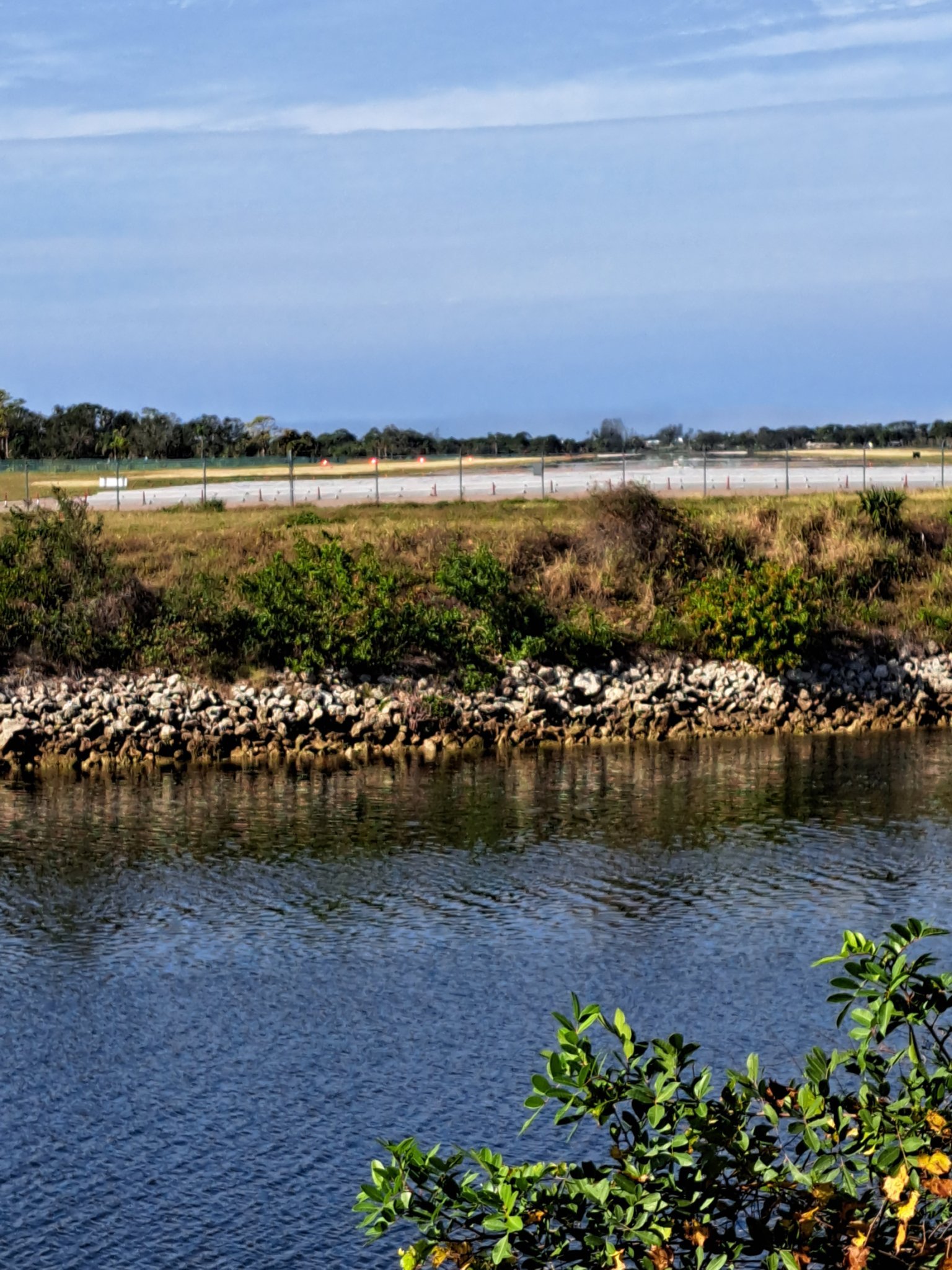
On this image note the stone revetment along the wall of the canal. This is to prevent erosion. Also noe the Venice Airfield in the distance

Entrance to Venice Airfield

Same as above
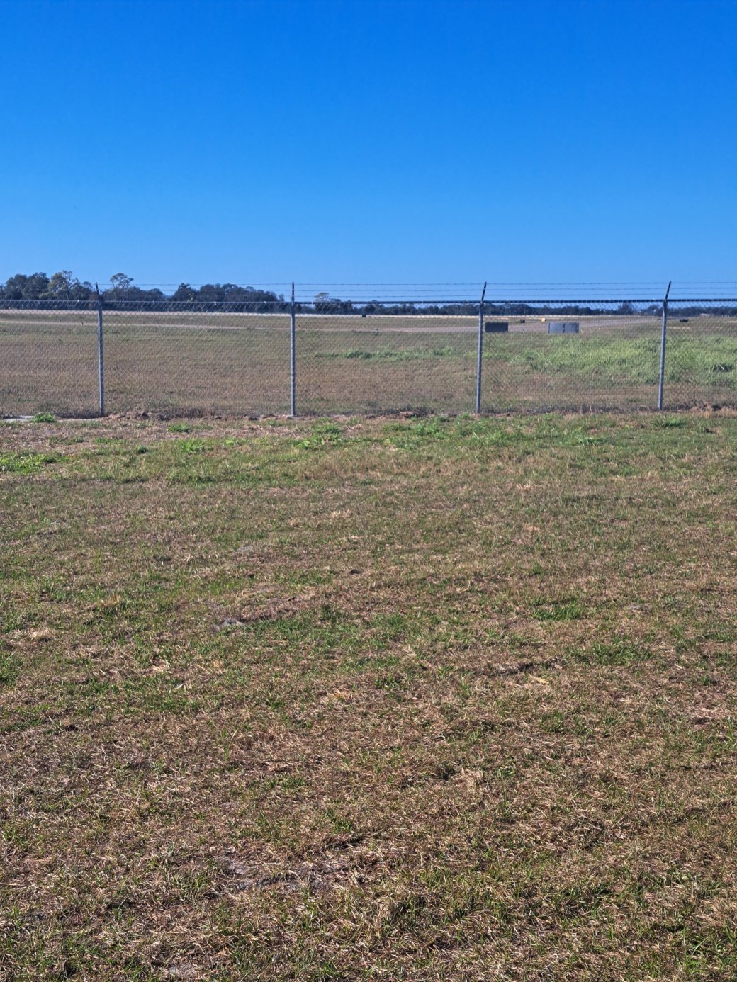
Venice Airfield
 Intracoastal Waterway

Circus Bridge Venice
