One of the unique geographic features of the Chicago area is the portage. This is a low level divide (sometimes called a subcontinental divide) separating the drainage of the Chicago River from that of the DesPlaines River. As a result of this feature, water flowed east in the Chicago River to Lake Michigan. Please note this pattern occurred until the man made reversal took place. Drainage in the Desplaines River is west towards the Illinois RIver. This geographic created a gap between the two rivers.
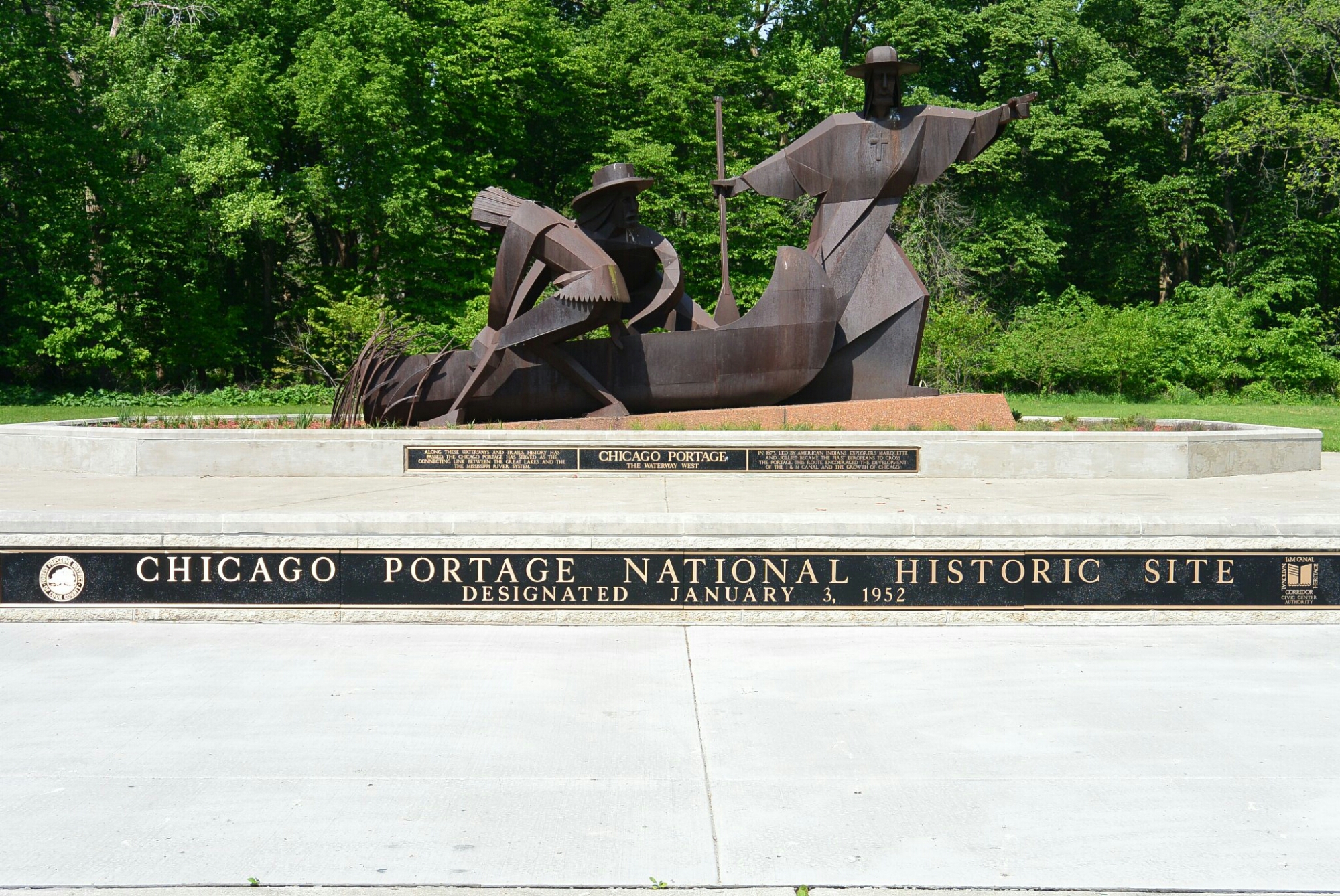
In the 1600’s, native Americans introduced this area to Joliet and Marquette. These two explorers were the first to propose some type of canal to bridge the gap. In the 1800’s, Gurdon Hubbard (an employee of the American Fur Company) encountered the portage during his annual trips between Michigan and the Illinois River.
In his autobiography, Hubbard described the difficulties faced in crossing this area. There was the thick mud. There were numerous leeches and mosquitoes. It could be quite an ordeal.
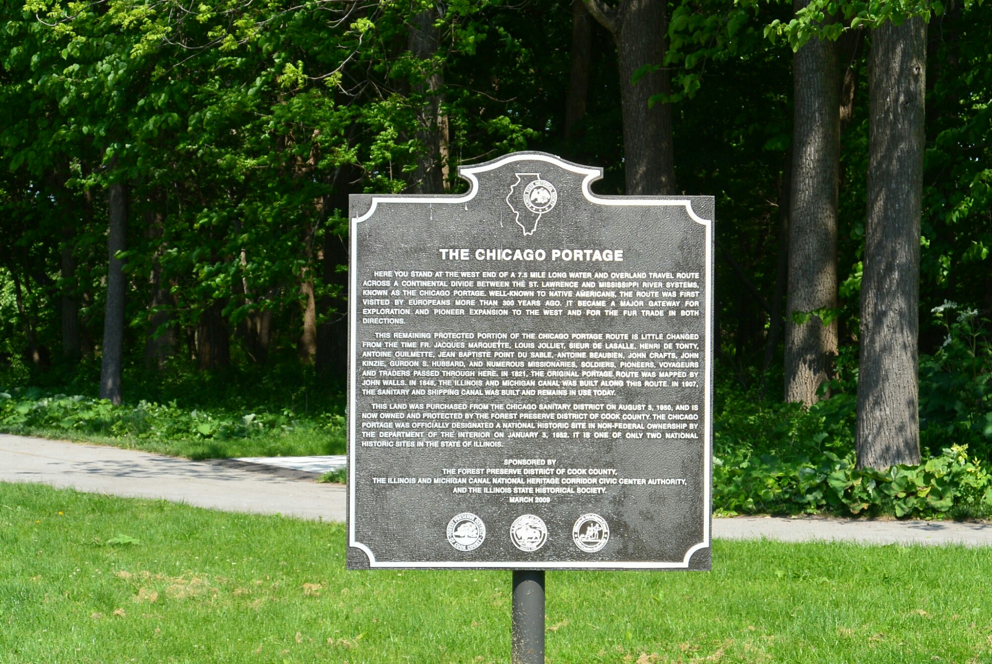
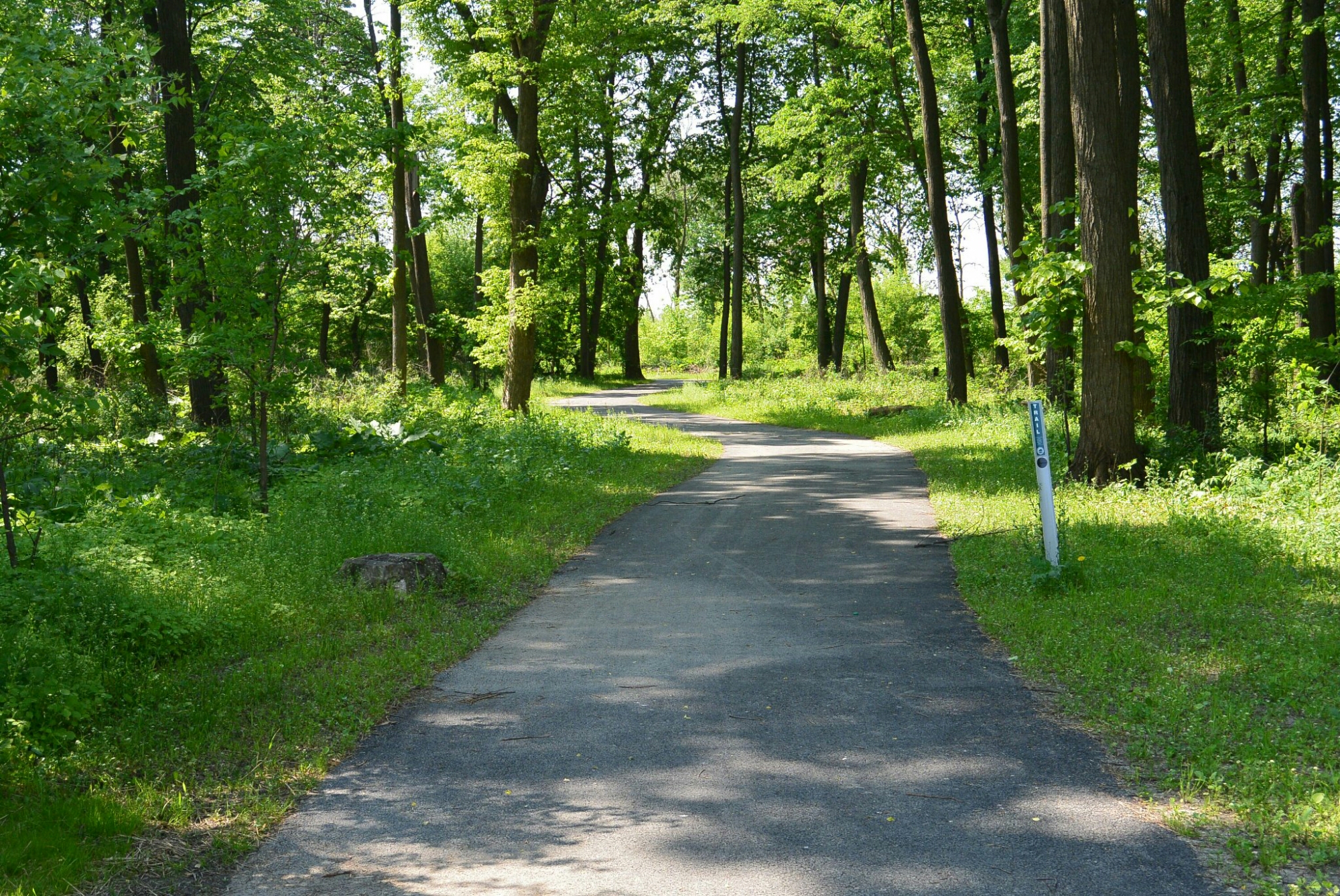
A portion of the portage site has been preserved at the Chicago Portage National Historic Site. This is located at the eastern end of the Illinois Michigan Canal National Heritage Corridor. The site is in a Cook County Forest Preserve in Lyons, Illinois. It is off Harlem Avenue. There is a memorial to Joliet, Marquette, and their Indian guides. There is informational signage. There is also a portion of the Portage Creek where it joined the DesPlaines River.
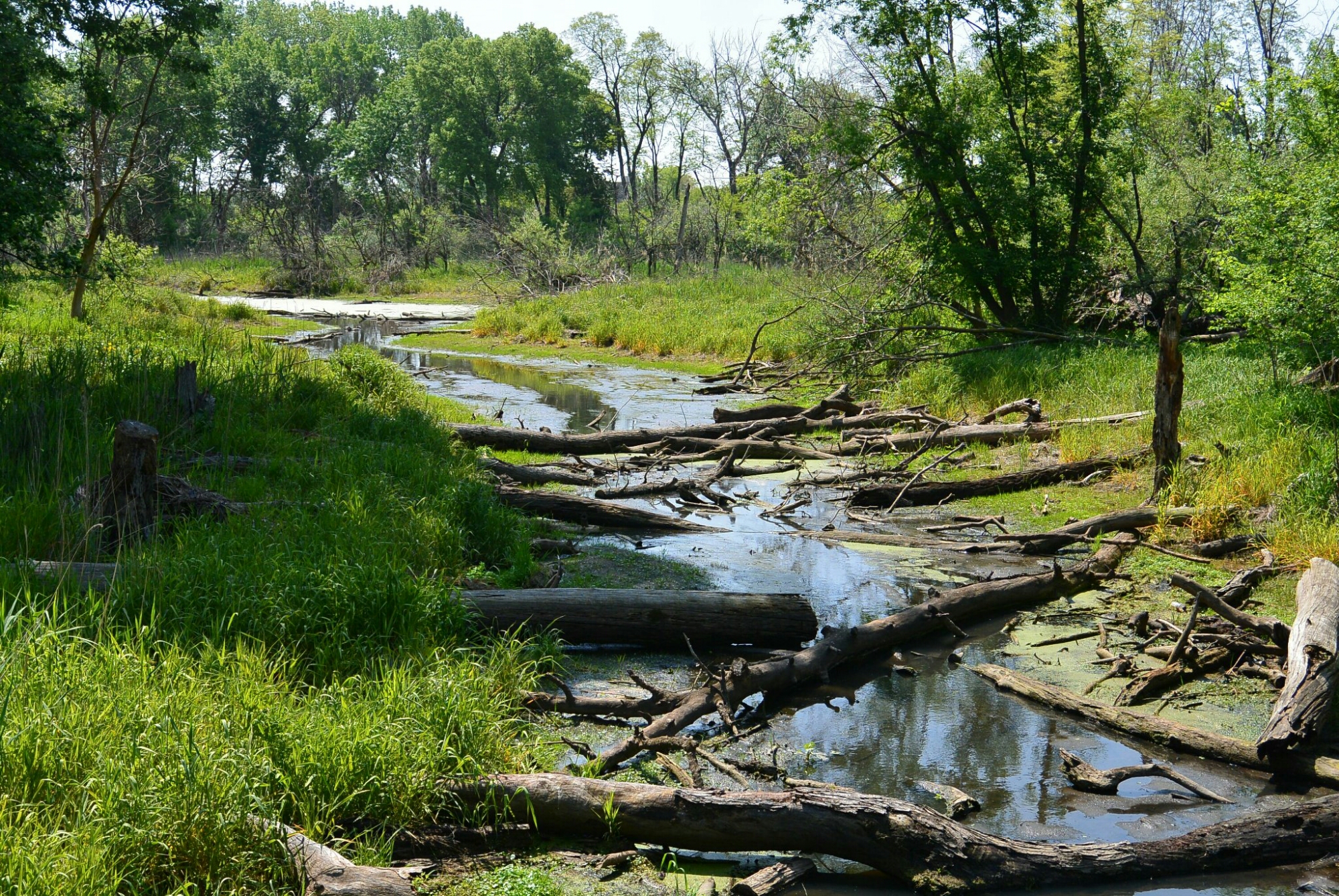 Portage Creek
Chicago Portage National Historic Site
