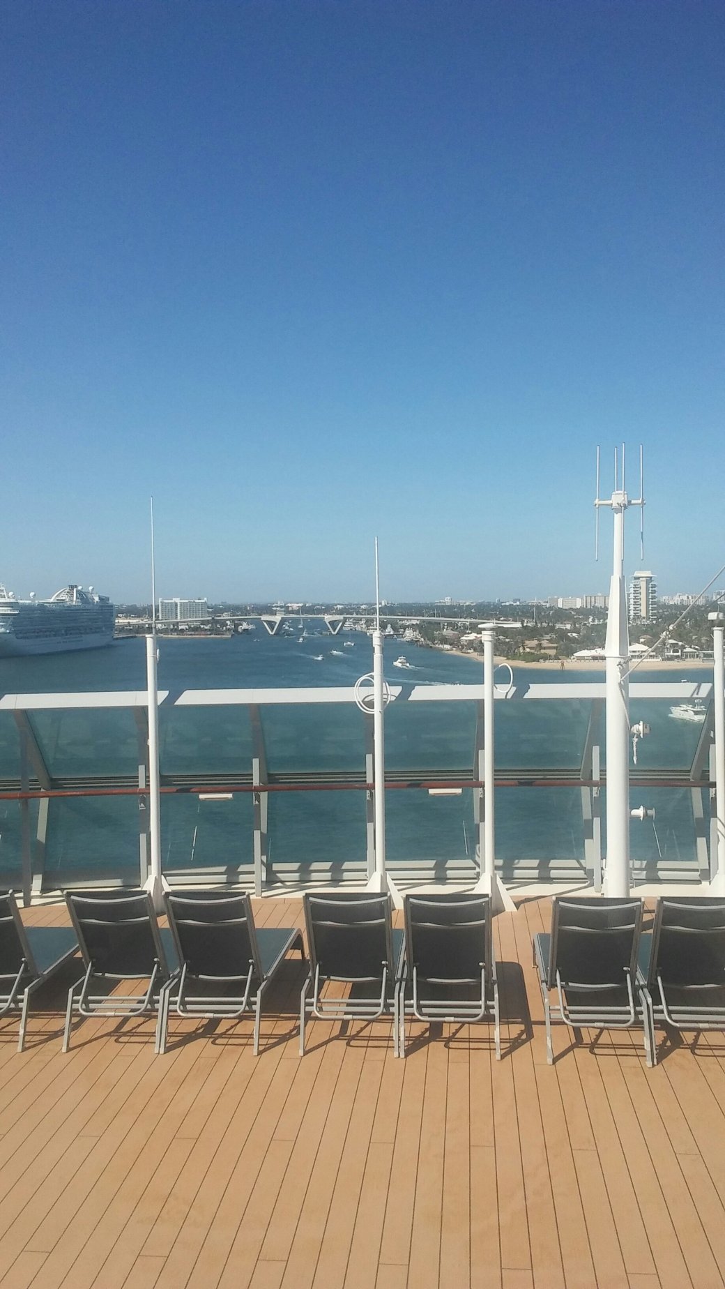
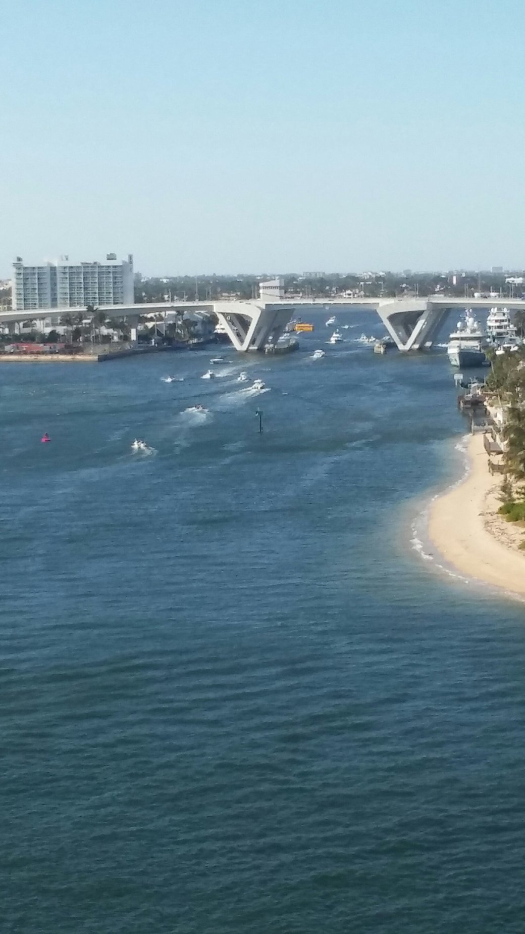
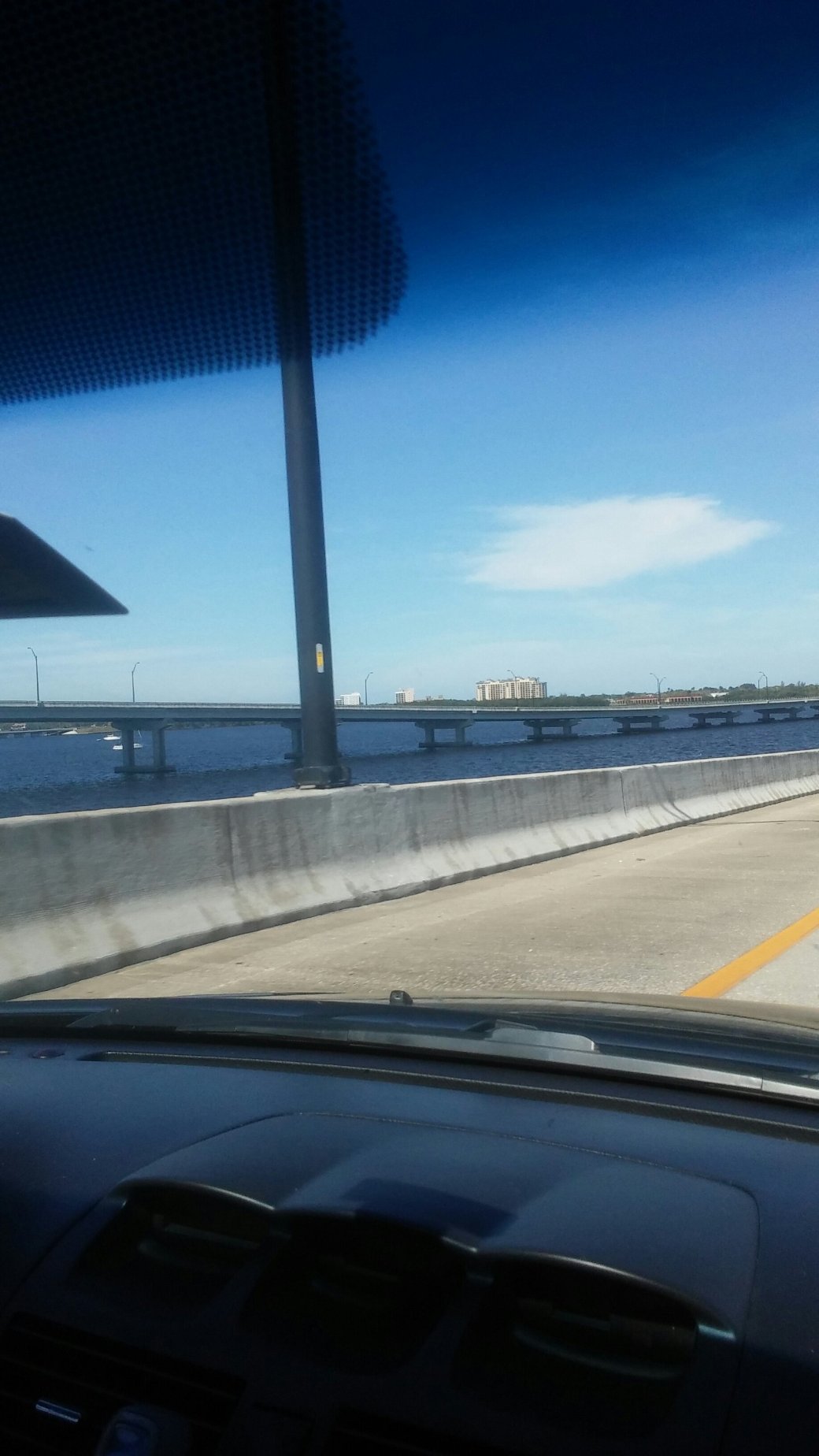
Sanitary and Ship Canal as Seen from the East Romeo Road Bridge

View from East Romeo Road Bridge. Will County Electric Generating Station

Sanitary and Ship Canal as Seen from the East Romeo Road Bridge Citgo Refinery

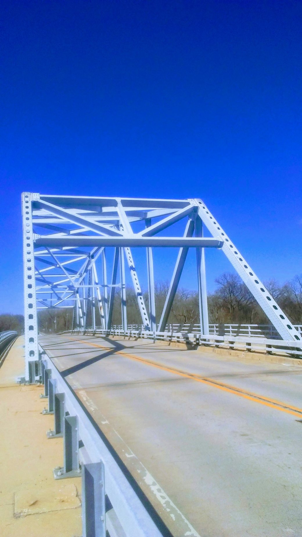
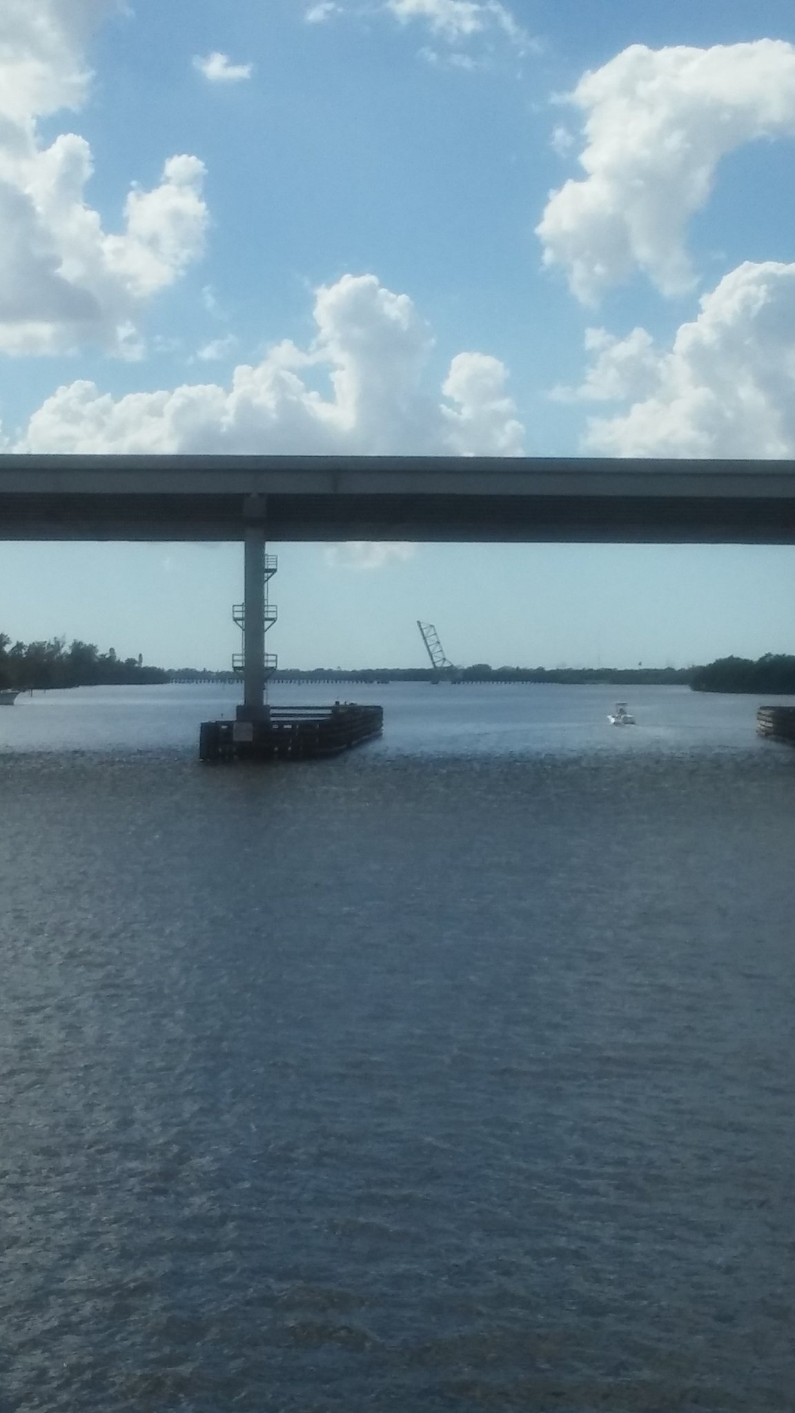
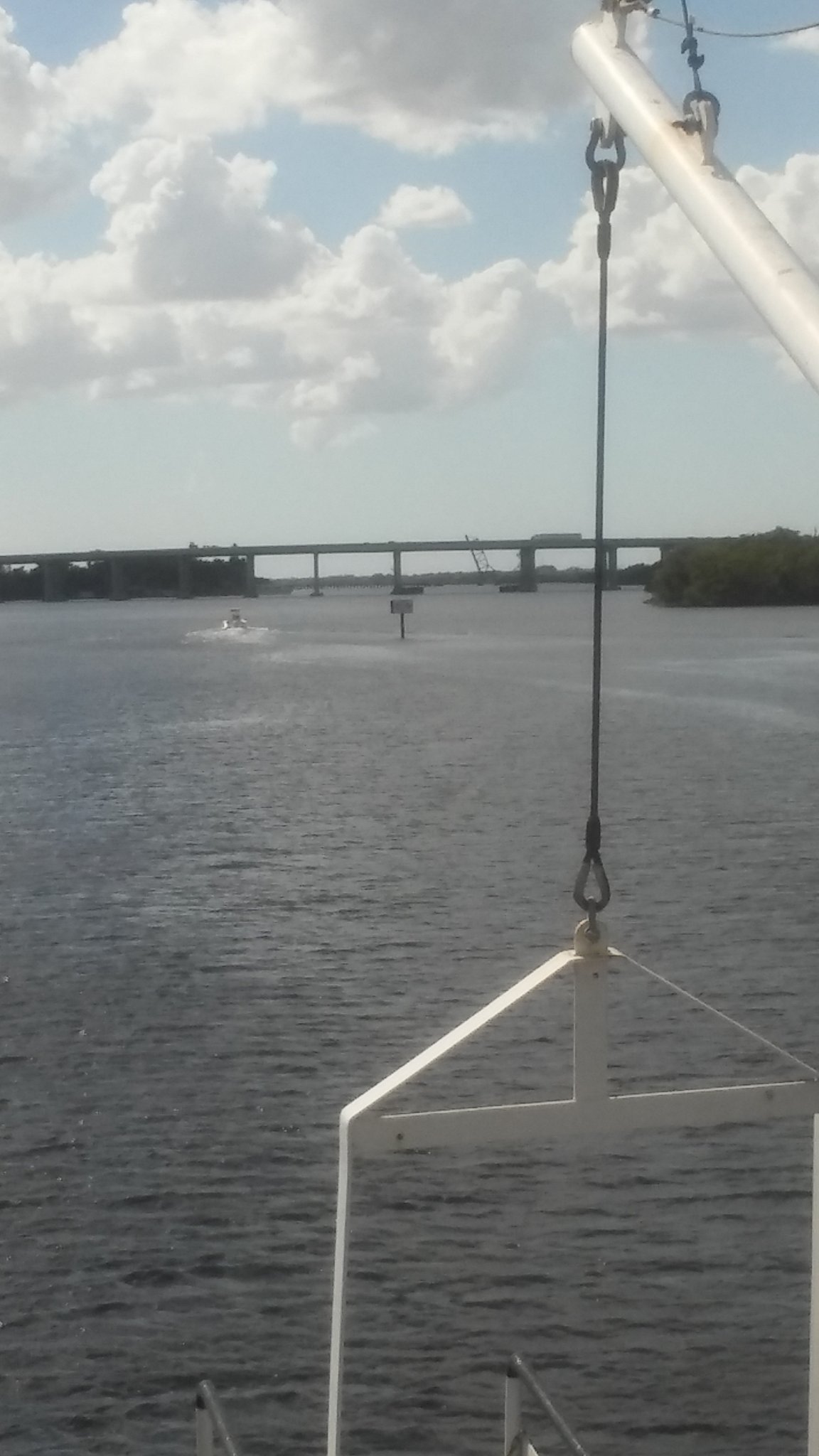
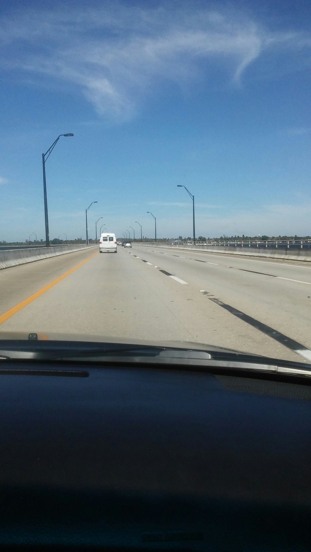
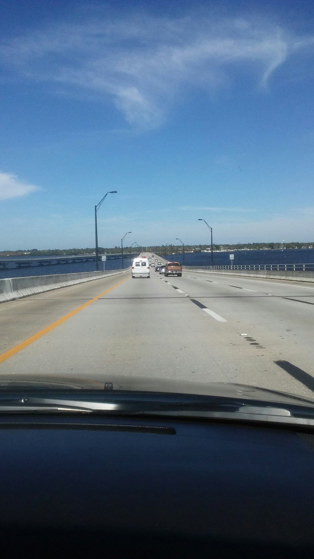
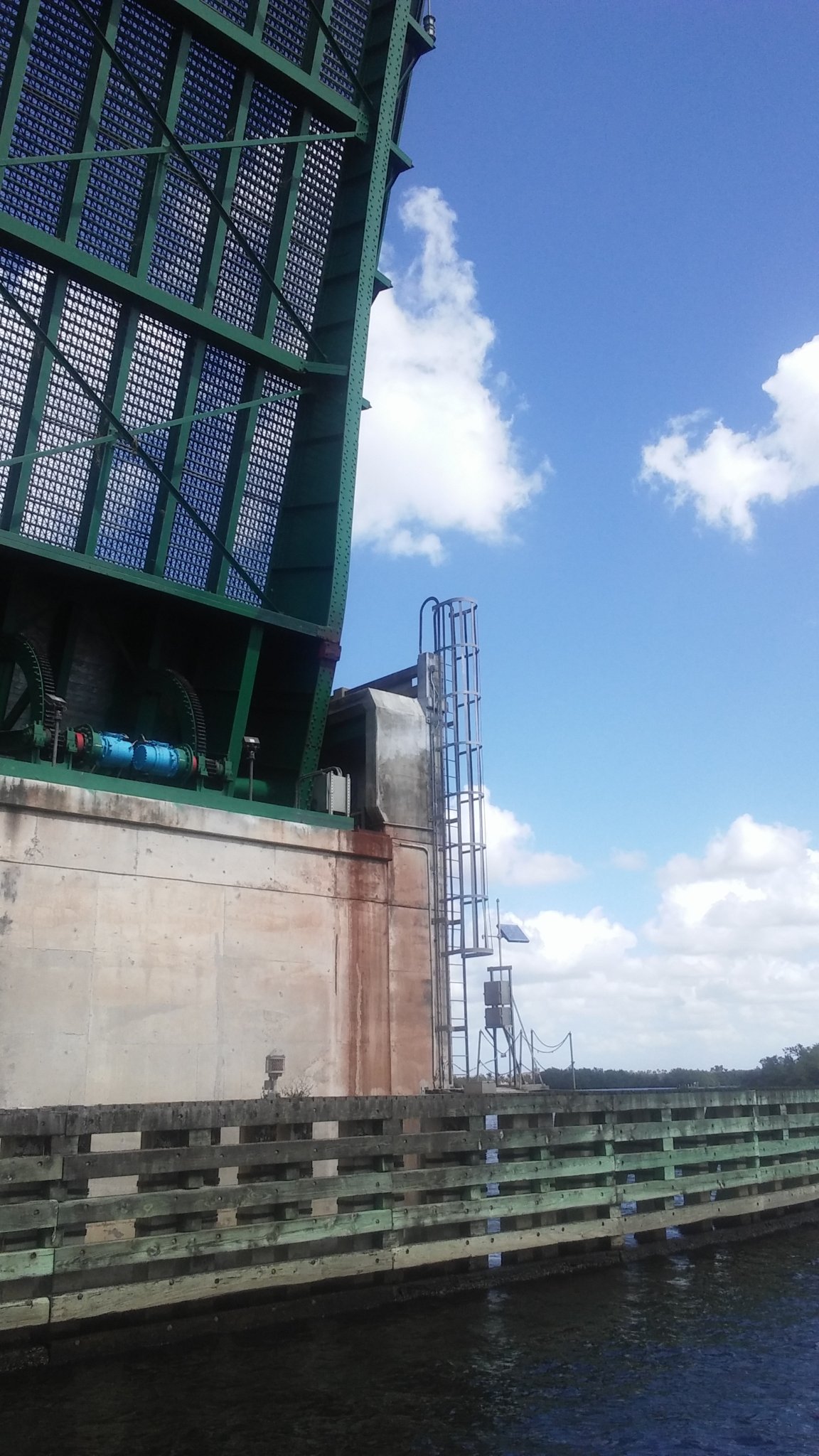
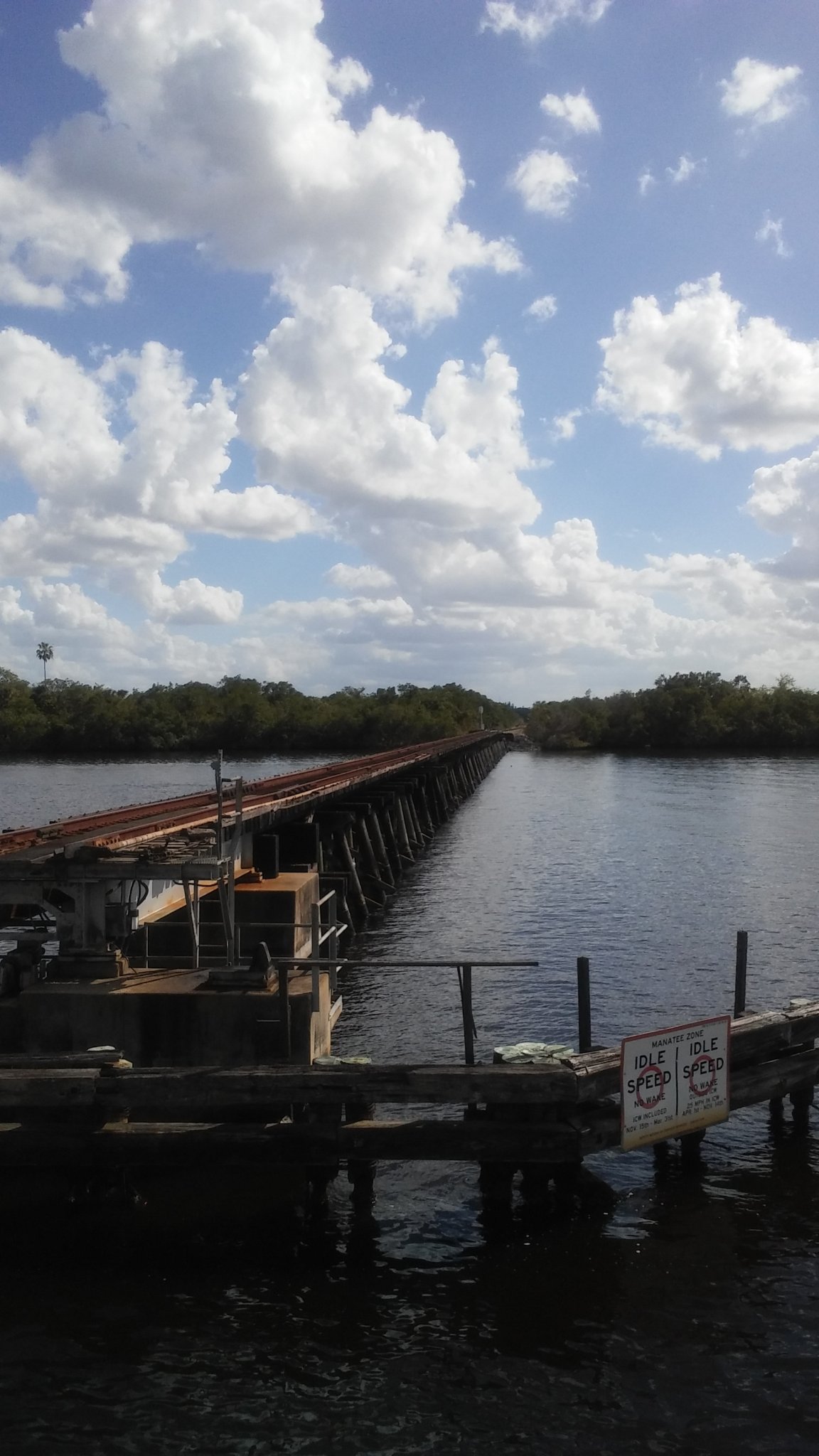
Current East Romeo Road Bridge over the Sanitary and Ship Canal

Same as above

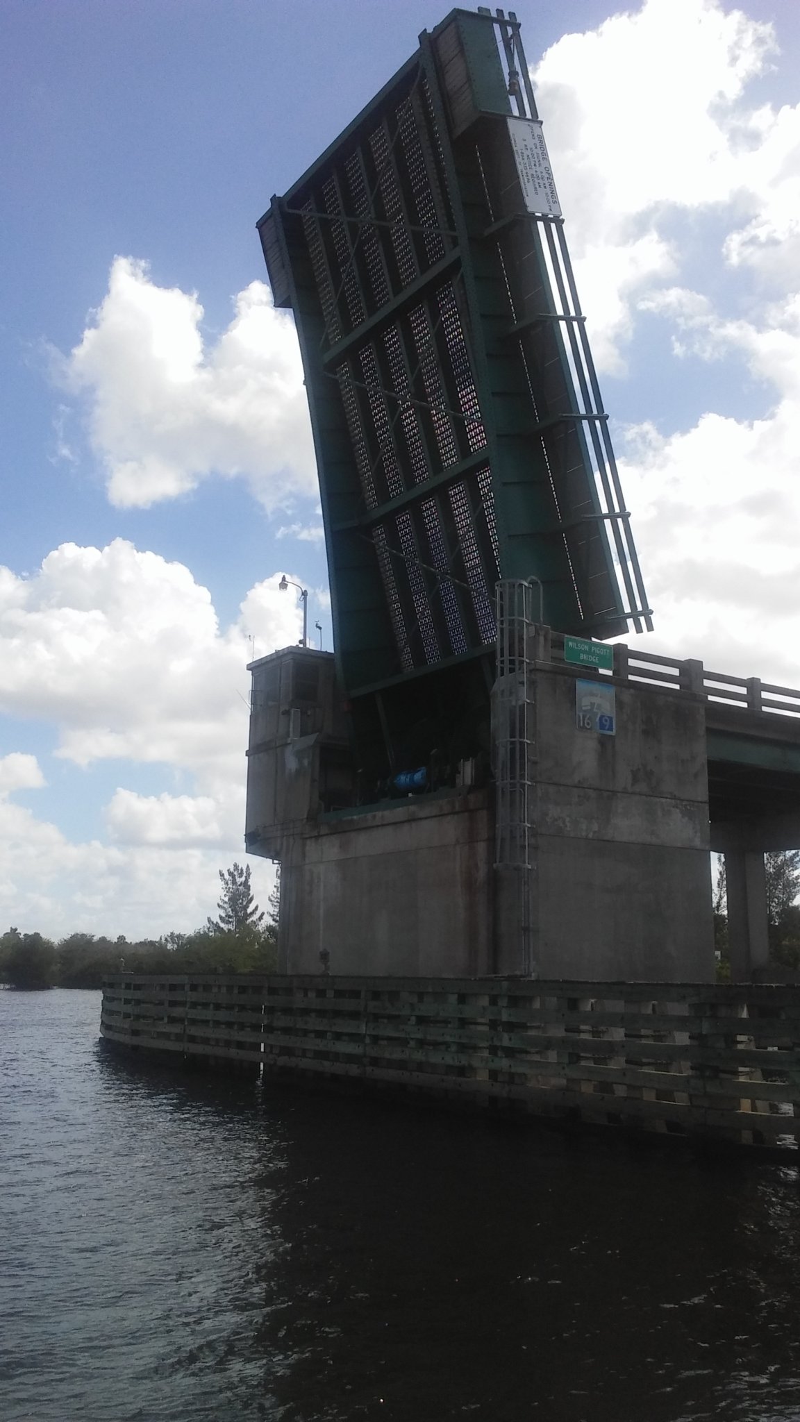
East Romeo Road Bridge

East Romeo Road Bridge

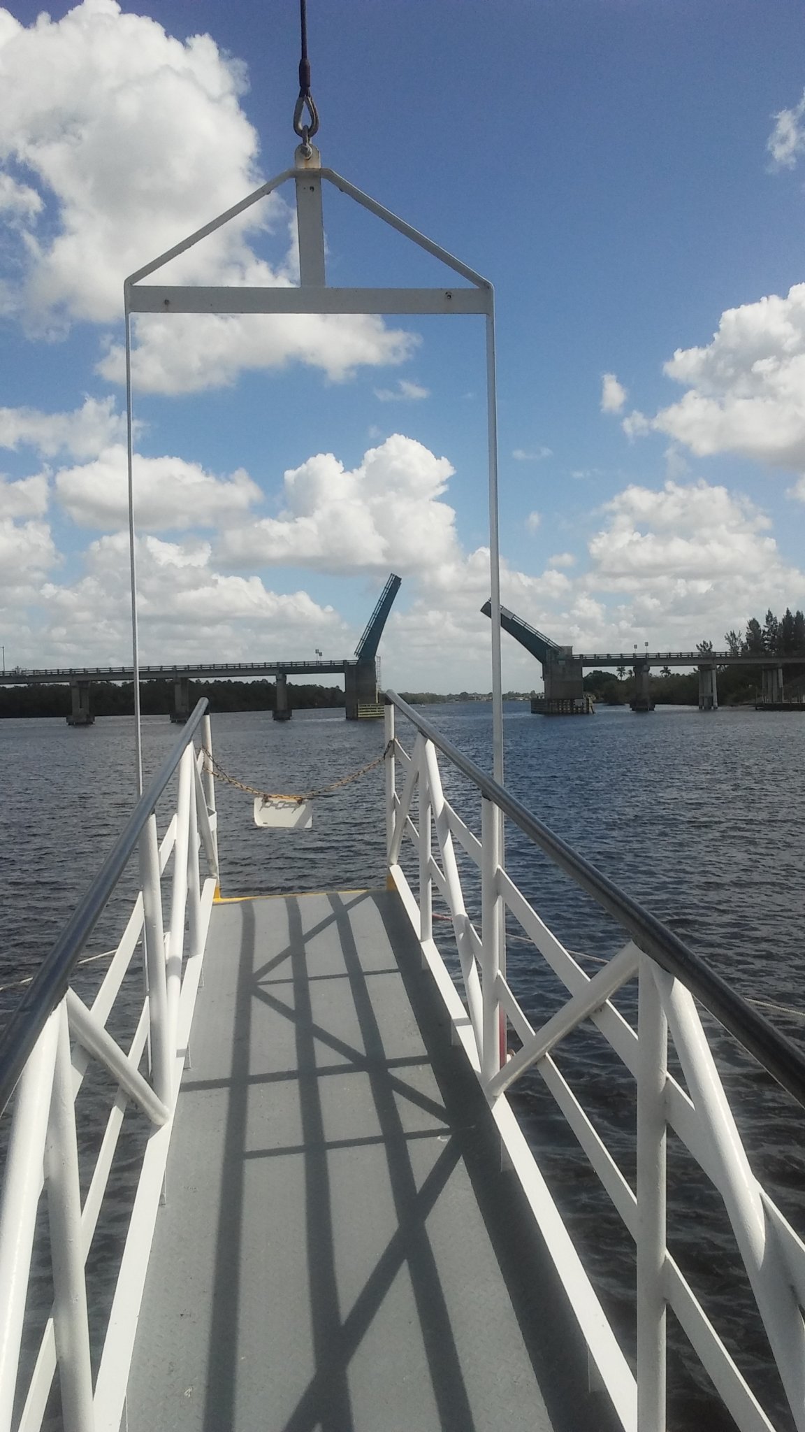
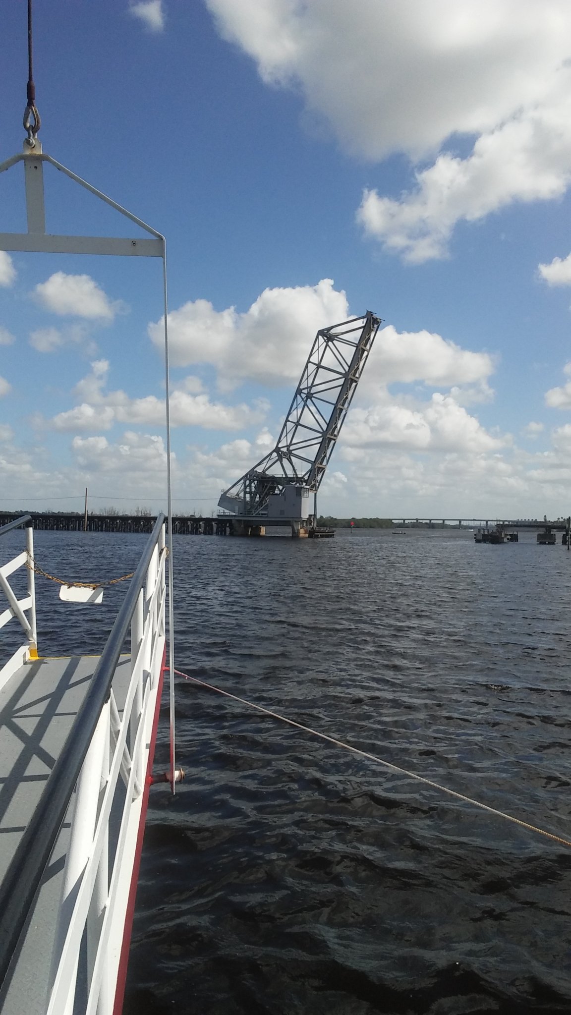
Old Swing Bridge at East Romeo Road. Relocated

Same as above. Bridge Tender House above.

Old Romeo Road Swing Bridge

Bridge Plaque
The East Romeo Road Bridge crosses the Sanitary and Ship Canal between the 9th Street Bridge and Veteran’s Memorial Tollway. The first bridge at this site was built in 1899. It was the oldest of the highway swing bridges constructed by the Sanitary District of Chicago.
It was a pin connected Warren through truss,movable: swing Bob tail. There was a steel turntable on masonry piers. The main span length was 204 feet. Structure length was 302 feet. Roadway width was 20 feet. The steel and iron weight was 339,505 pounds. Counter weight was 208, 100 pounds.
The builder/engineer was Strobel Steel Construction. Subcontractor was Heldmaier and Neu. The subcontractor costs were $9659.75. Superstructure costs were $14,990.The
The bridge was closed suddenly in 1990. Replacement was delayed for 8 years due to environmental concerns and desire to preserve the old bridge. It was relocated to a site on the Centennial Trail in 1996.
The replacement bridge was a modern fixed cement girder type. It is located at the 296.2 mile marker. Its horizontal clearance is 160 feet. Its vertical clearance is 51 feet. It carries four lanes of traffic; two in each direction.