Archer Avenue Bridge Cal Sag Canal

G6Epfxxlq00mB829sElGYLEin9H9k-O3aGHWwXKrSDApX92IB

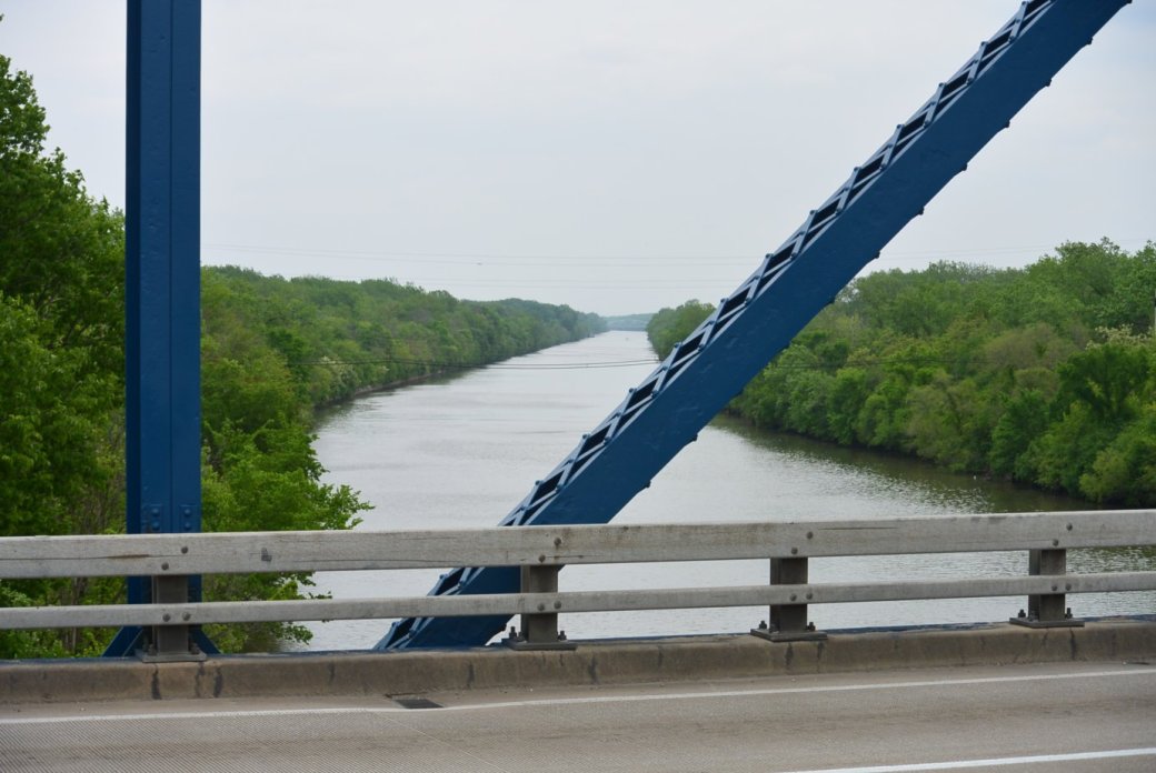
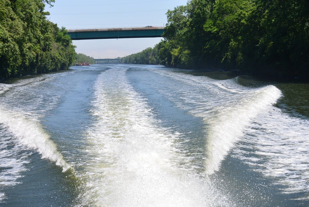
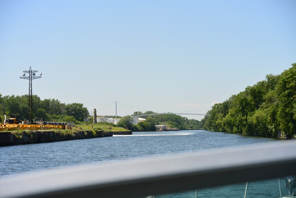
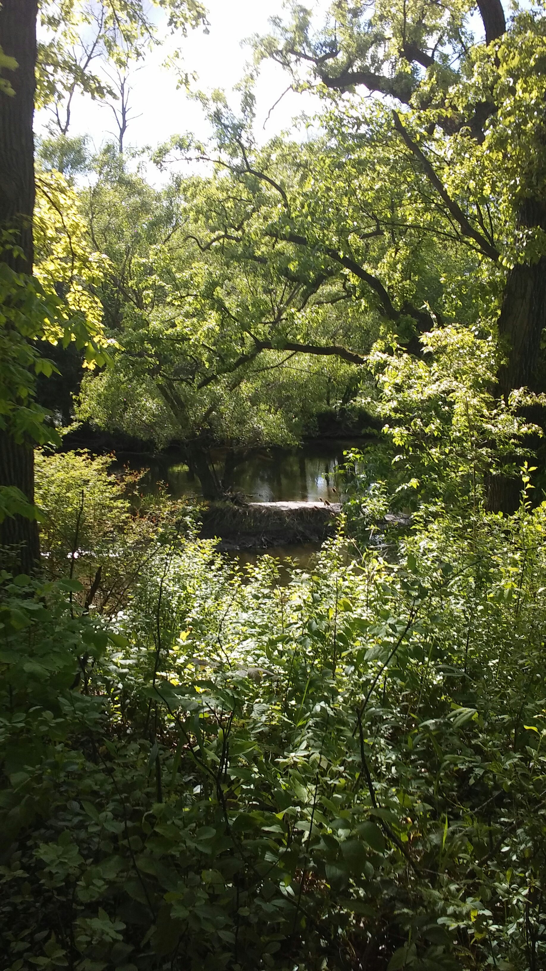
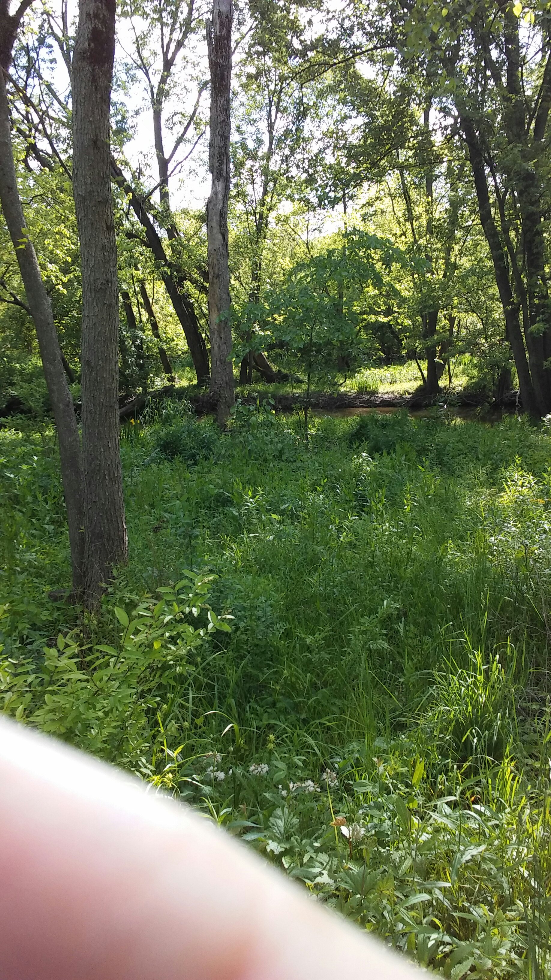
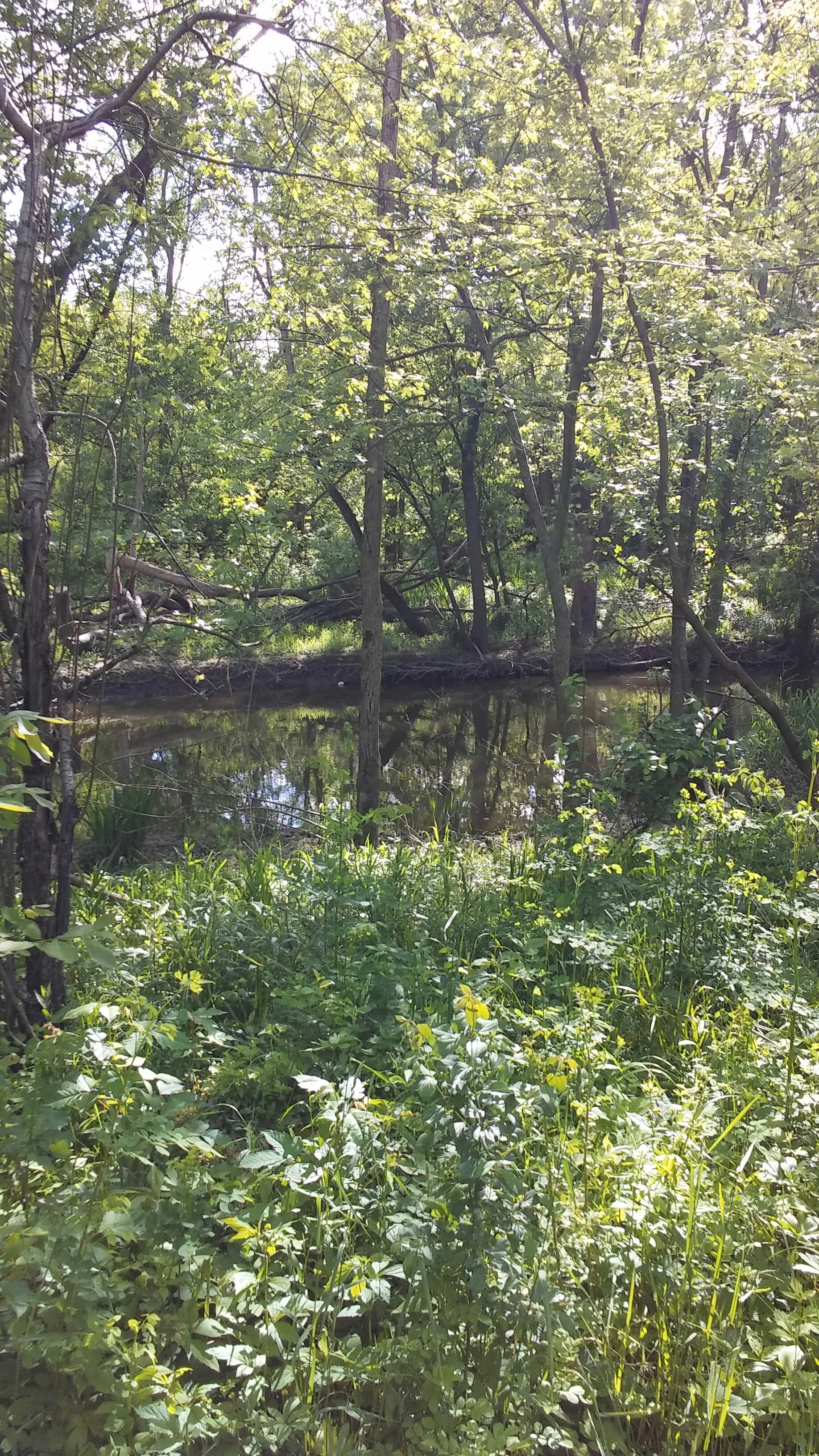
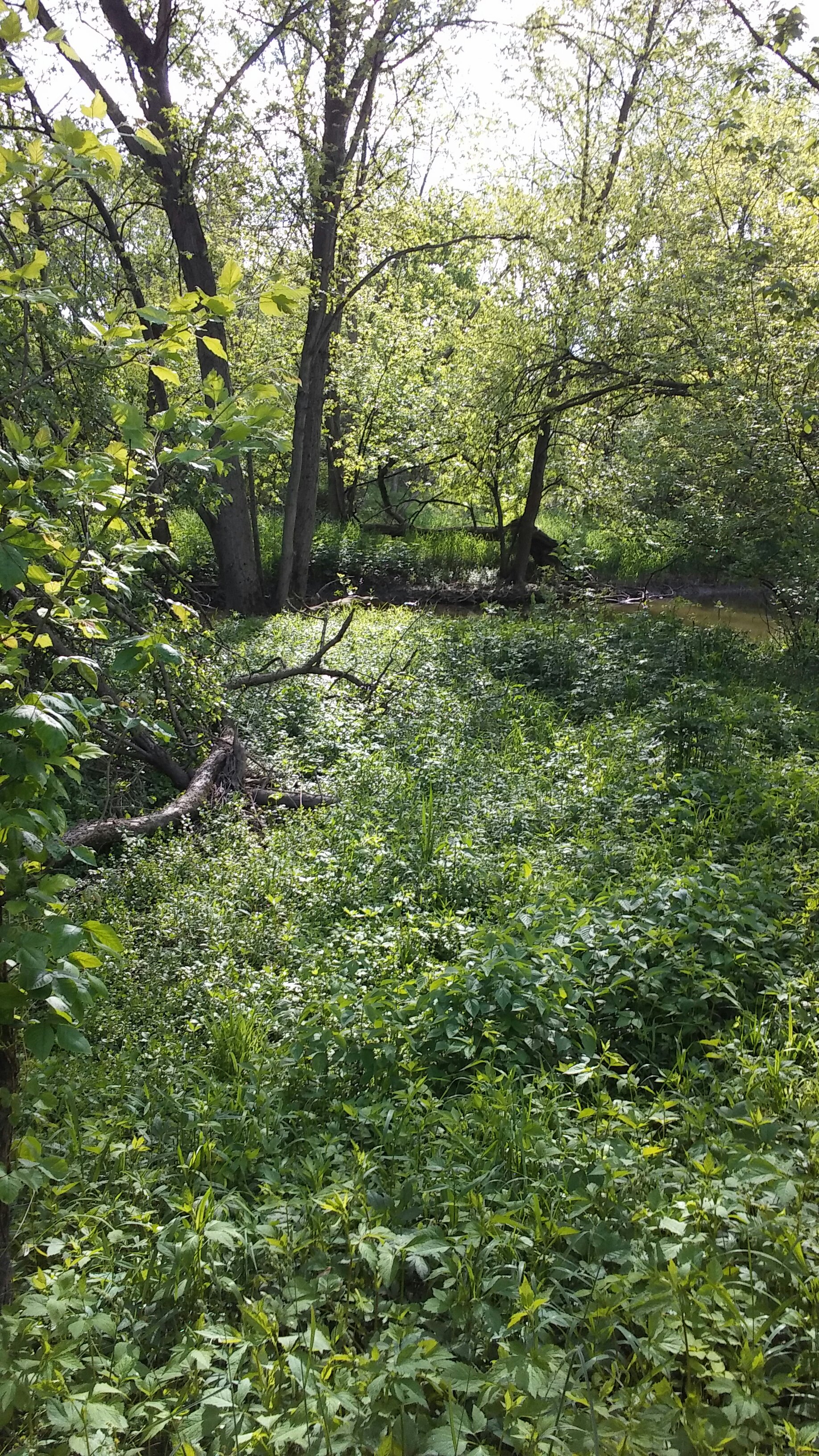
View of Cal Sag Canal from Archer Avenue Bridge


11736405070-CommerceProduct-7182-83-83

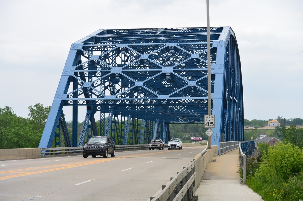
Archer Avenue Bridge over Cal Sag Canal

11736405070-CommerceProduct-7182-84-84

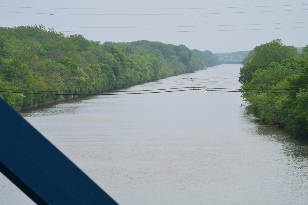
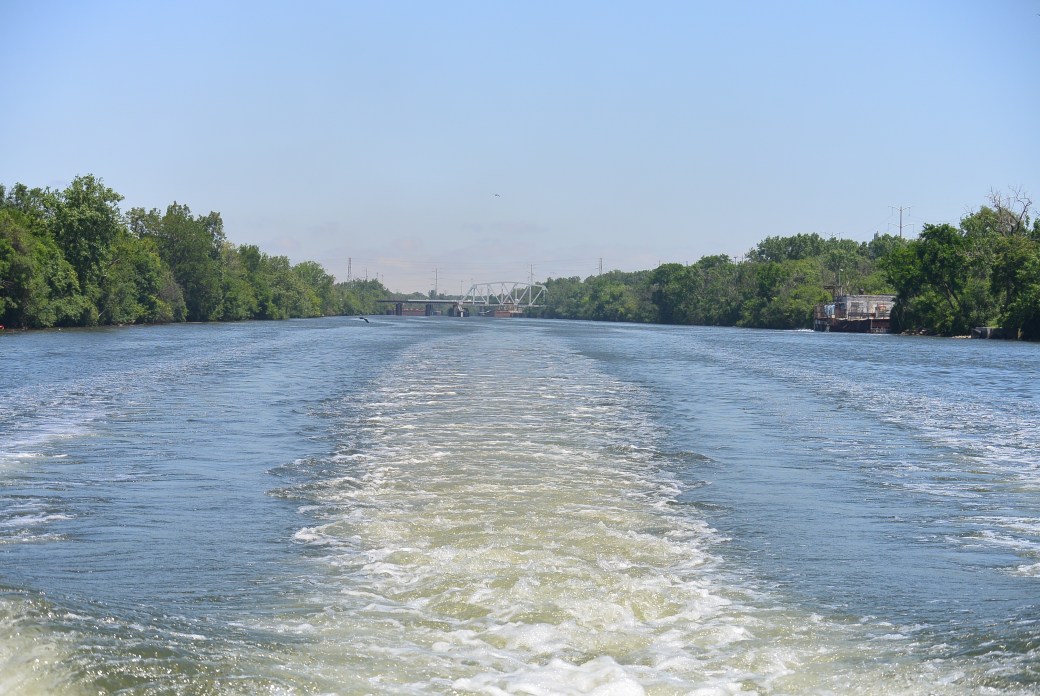
View of Cal Sag Canal  from Archer Avenue Bridge

11736405070-CommerceProduct-7182-86-86

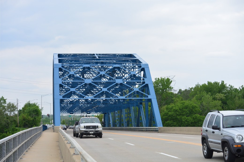
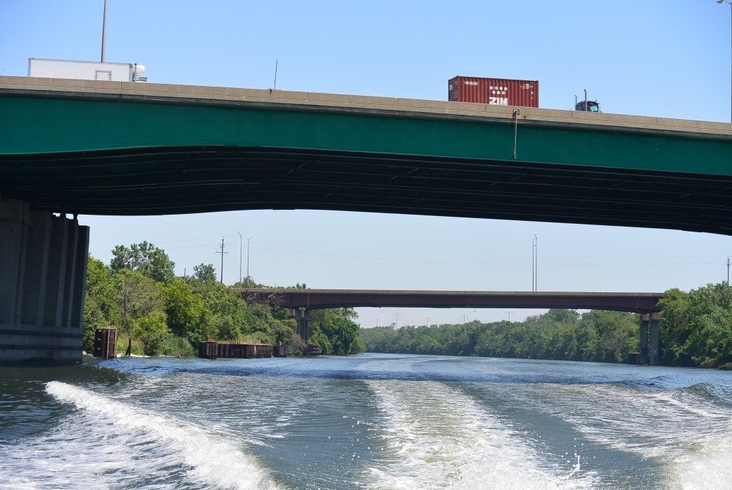
Archer Avenue Bridge over Cal Sag Canal

11736405070-CommerceProduct-7182-79-79

View of Archer Avenue Bridge from Sag Quarries

wp-1497186374381.jpg

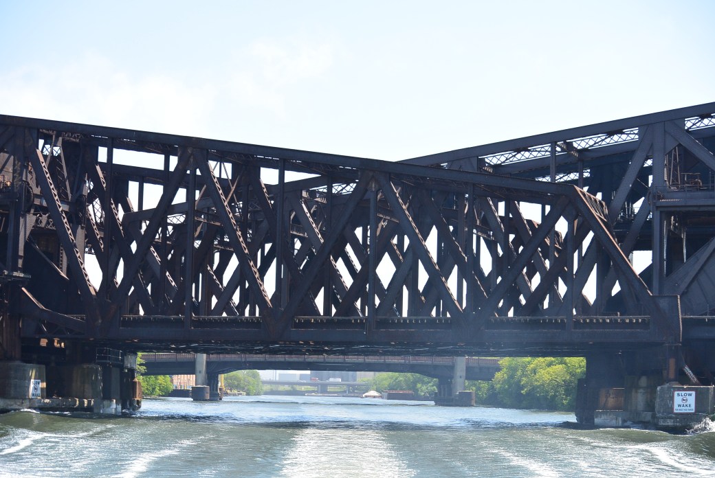
Taken at the confluence  The first bridge seen is the CN, the second is the Archer Avenue Bridge

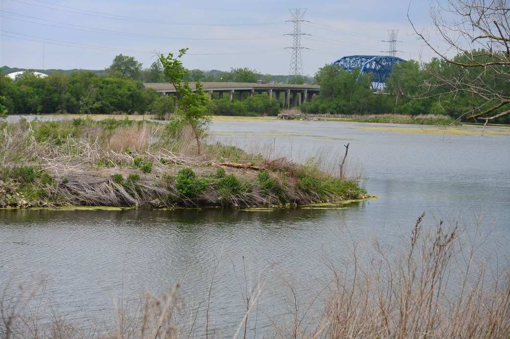
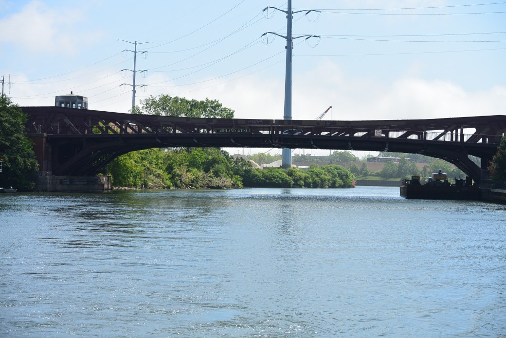
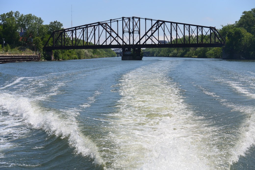
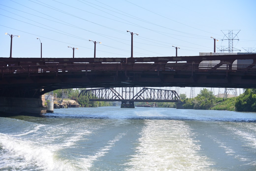
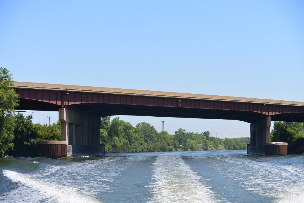
The second bridge over the Cal Sag Canal is the Archer Avenue Bridge.  This is located in Lemont.  It is a Pennsylvania Truss Bridge with a west side pedestrian walk.  It was built in 1934.  It is 507 feet in length and 43.9 feet in width.  It was renovated in 1997.  It is currently painted blue.

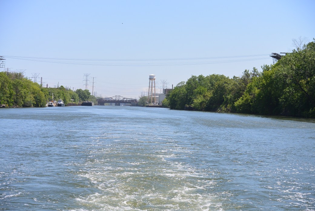
Archer Avenue Bridge in the distance


Archer Avenue Avenue Bridge


Photos added 4/9/2018

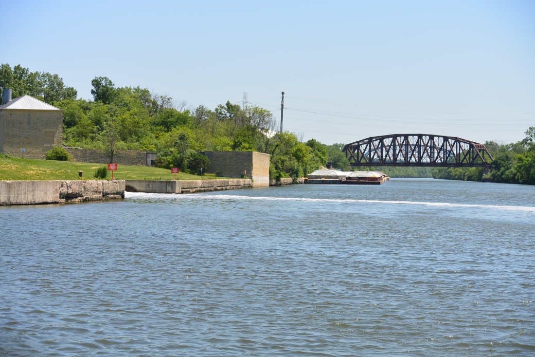
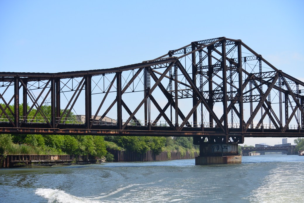
Cal Sag CN Bridge

Cal Sag CN Bridge

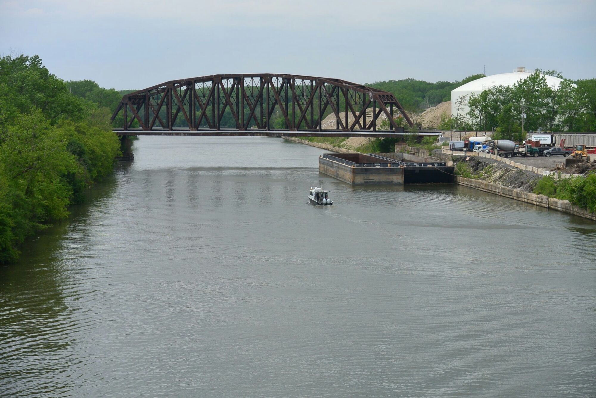
This is a view of this bridge from the Archer Avenue Bridge.


Cal Sag CN Bridge

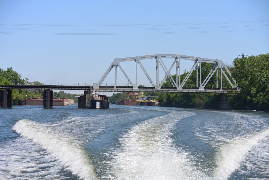
This is a view of this bridge from a boat at the junction of the Sanitary and Ship Canal and the Cal Sag Canal.

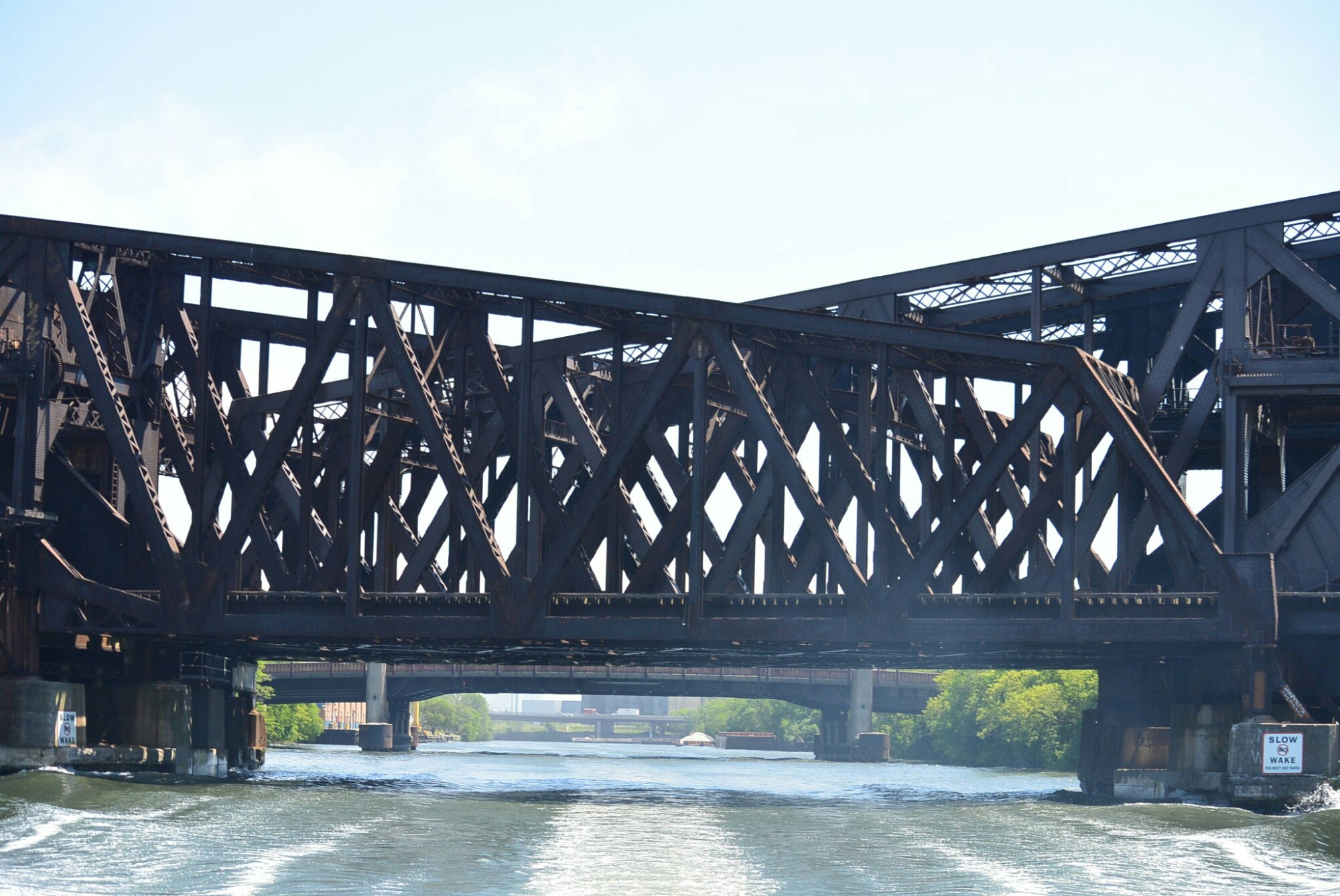
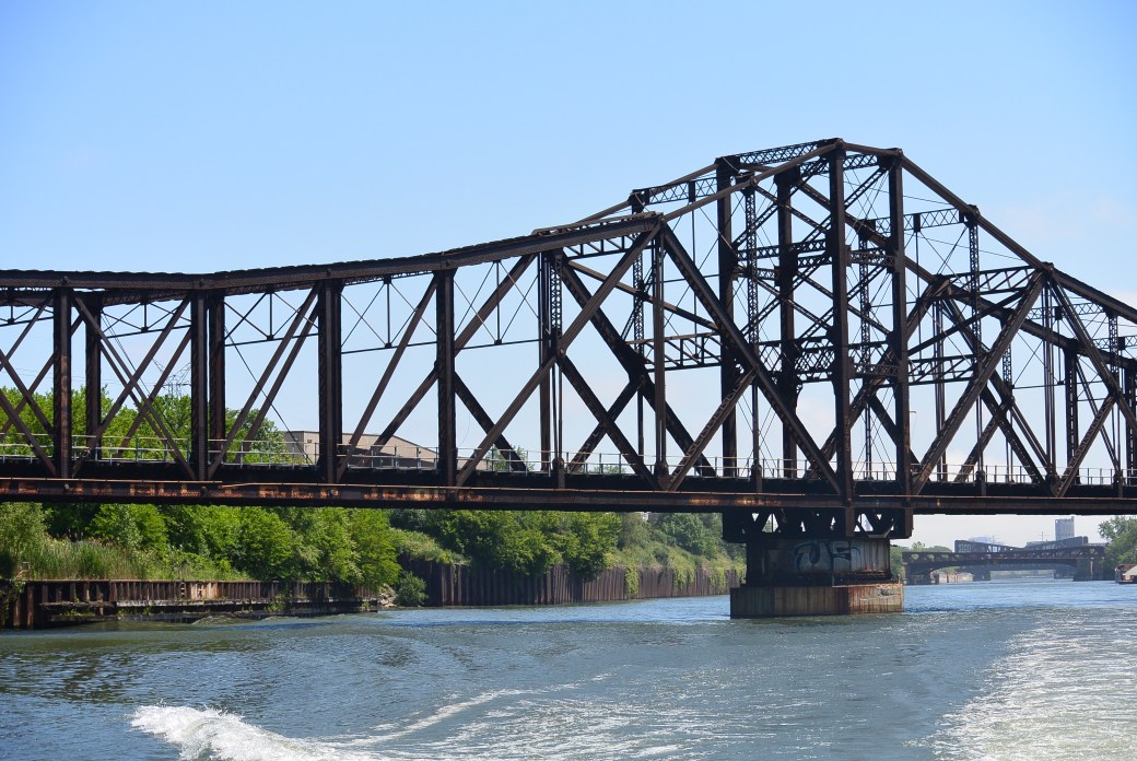
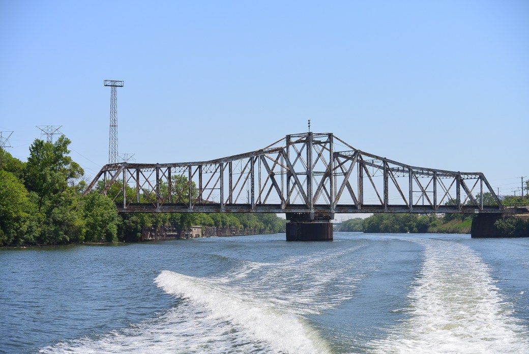
This is the first bridge across the Cal Sag Canal traveling from west to east.  It is currently being used by the CN railroad.  Other railroads using this bridge include  Amtrak and Metra.   The builder is unknown.  Date of construction is unknown.   It is 395 feet in length.  Its design is typical of railroad bridges on the Cal Sag Canal.  It is riveted metal truss technology.

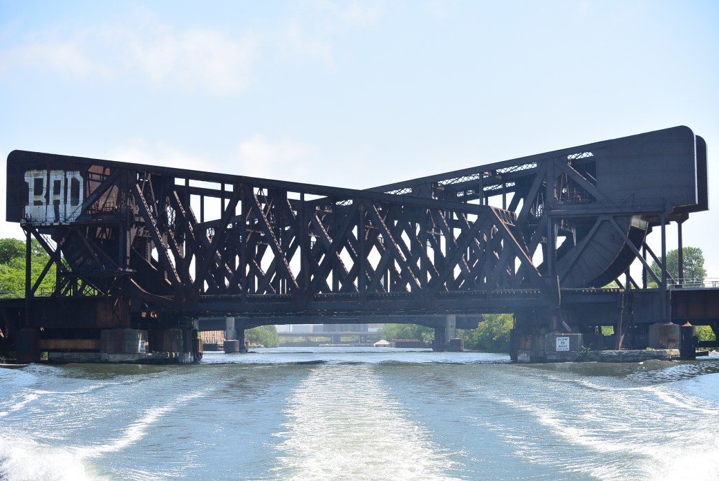
Eight Track Ralroad Bridge Over Sanitary and Ship Canal

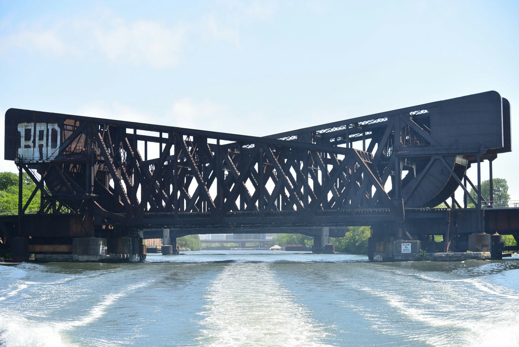
     This unusual bridge crosses the Sanitary and Ship Canal west of the south Western Avenue Traffic Bridge.  It was constructed in 1901 and 1909-1910. The construction was done in 1901 by the Scherzer Rolling Lift Bridge Company.   The 1909-1910 construction was done by the Chicago Bridge and Iron Works.

Eight Track Railroad Bridge

Eight Track Railroad Bridge

     The original contract was awarded to Scherzer.  Its design was four parallel double tracked, double leaf bridges.  This was to accommodate multiple railroad lines that crossed the Ship Canal at this site.

     In 1908, Chicago Bridge and Iron Works was awarded a contract to erect a new bridge using existing approach spans and piers.  The new piers were placed adjacent to the old ones.

    The bridges are four parallel single-leaf Scherzer Rolling Lift Bascule bridges.  Each bridge has two sets of tracks.  The lift bridges are 140 feet in length.  The original lines using the bridges were Pittsburgh, Cincinnati, Chicago and Saint Louis Railroad,the Illinois Stock Yards and Transit Railroad, Chicago and Northern Pacific Railroad.  The supporting piers are limestone covered with concrete.

     Other railroads that have used these bridges include Baltimore and Ohio Terminal Railroad, CSX Railroad, CN Railroad, Chicago Junction Railroad, Norfolk Southern Railroad..

     The two western spans are no longer operational.

Pennsylvania Railroad Bridge South Branch Chicago River

Pennsylvania Railroad Bridge

Pennsylvania Railroad Bridge

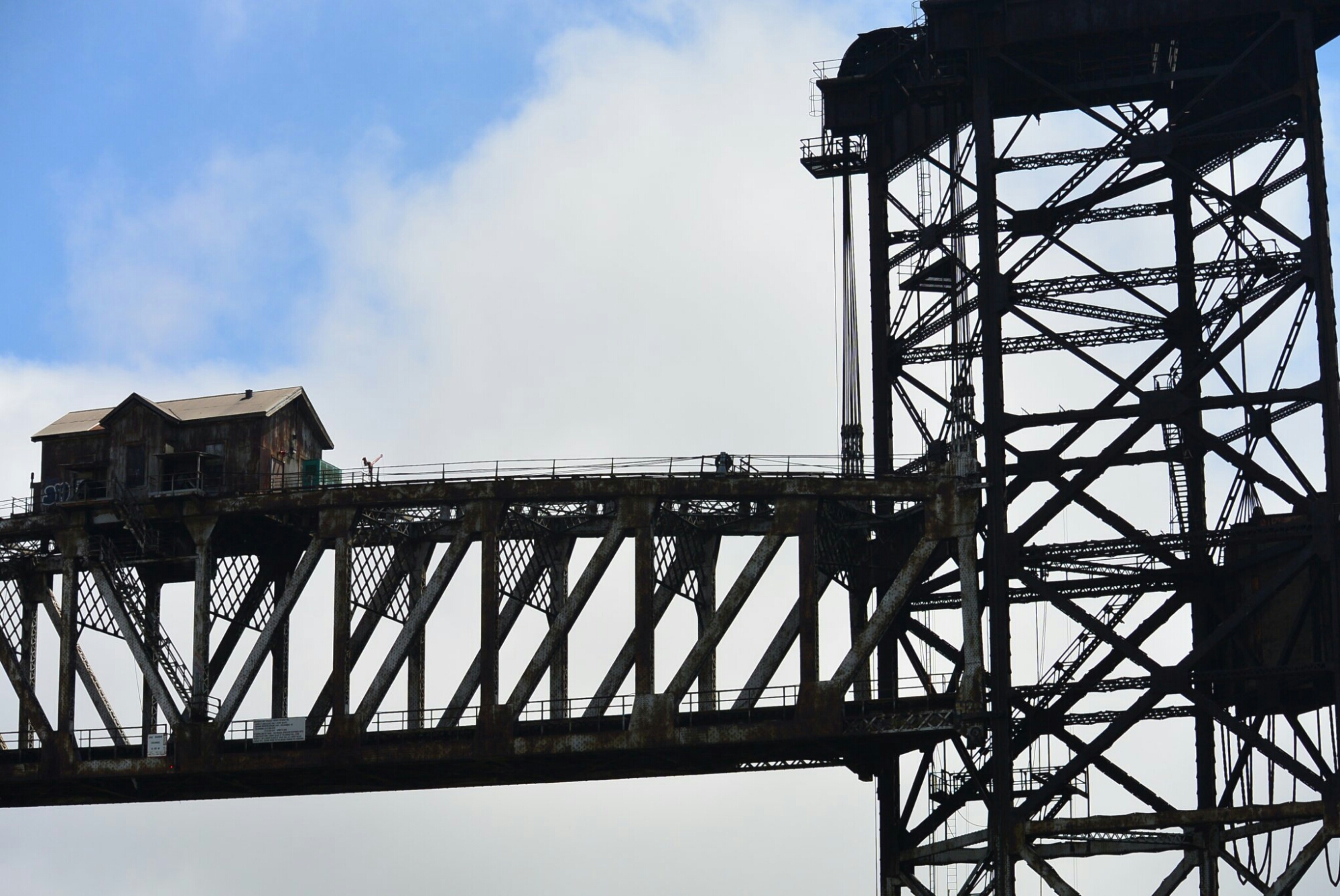
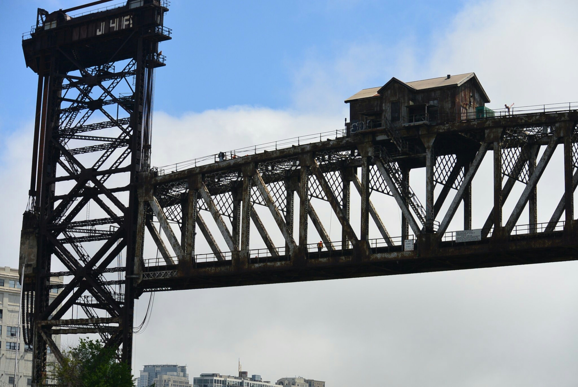
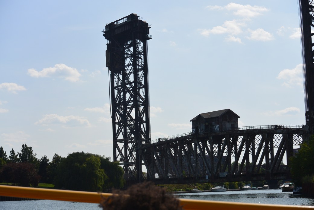
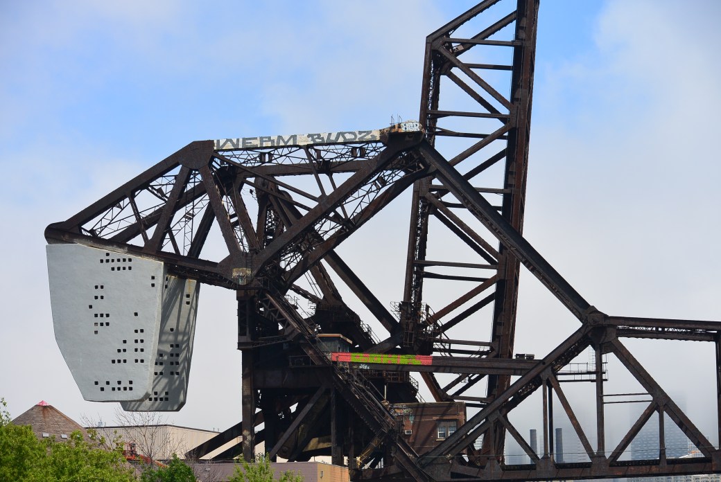
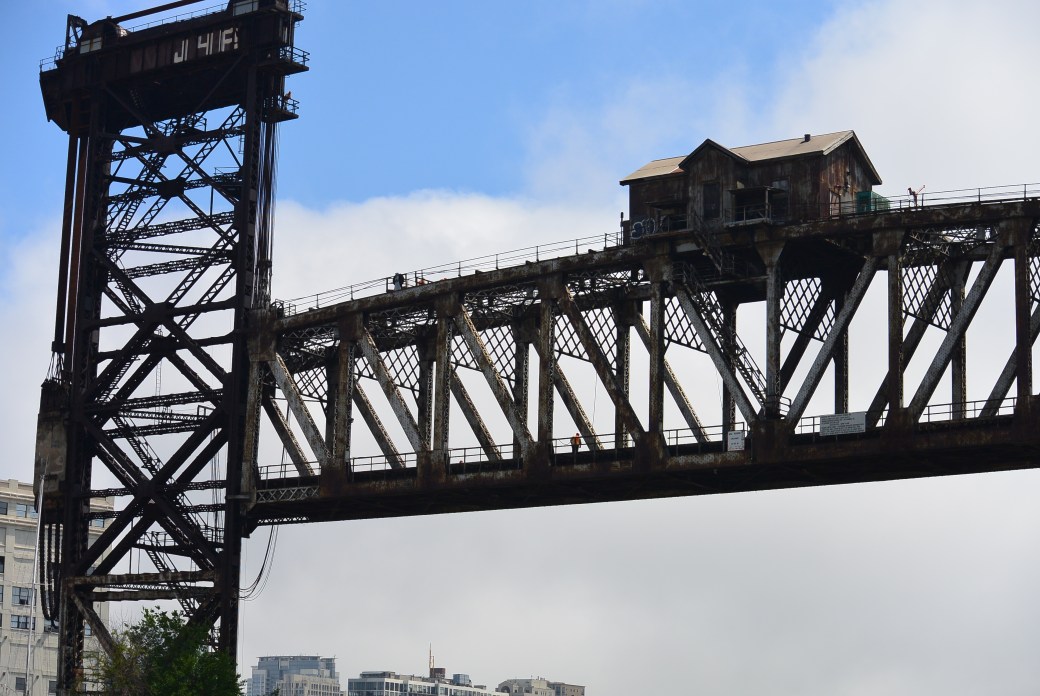
This railroad lift bridge is the only remaining one on the Chicago River.  It was originally built for the Pennsylvania Railroad.  It is located near Canal St.

It was constructed in 1915.  It replaced an existing bridge. It is now operated and maintained by Amtrak.

The bridge was designed by Waddell and Harrington.  Pennsylvania Steel Company fabricated the main span.  This weighed 1500 tons.  It contained two tracks.  It was 272 feet.  The two lift towers were 195 feet in height.  They rested on concrete piers.  The original bridge tender cabin rested on the top of the main spam.  The bridge is now controlled from a location near the base of the bridge.

Much of the information was found in HAER IL–112

DSC_2406

Amtrack Bridge

DSC_2406

Amtrack Bridge

Chicago River and the Sanitary and Ship Canal


DSC_1735

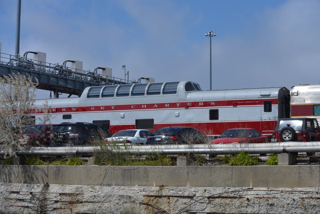
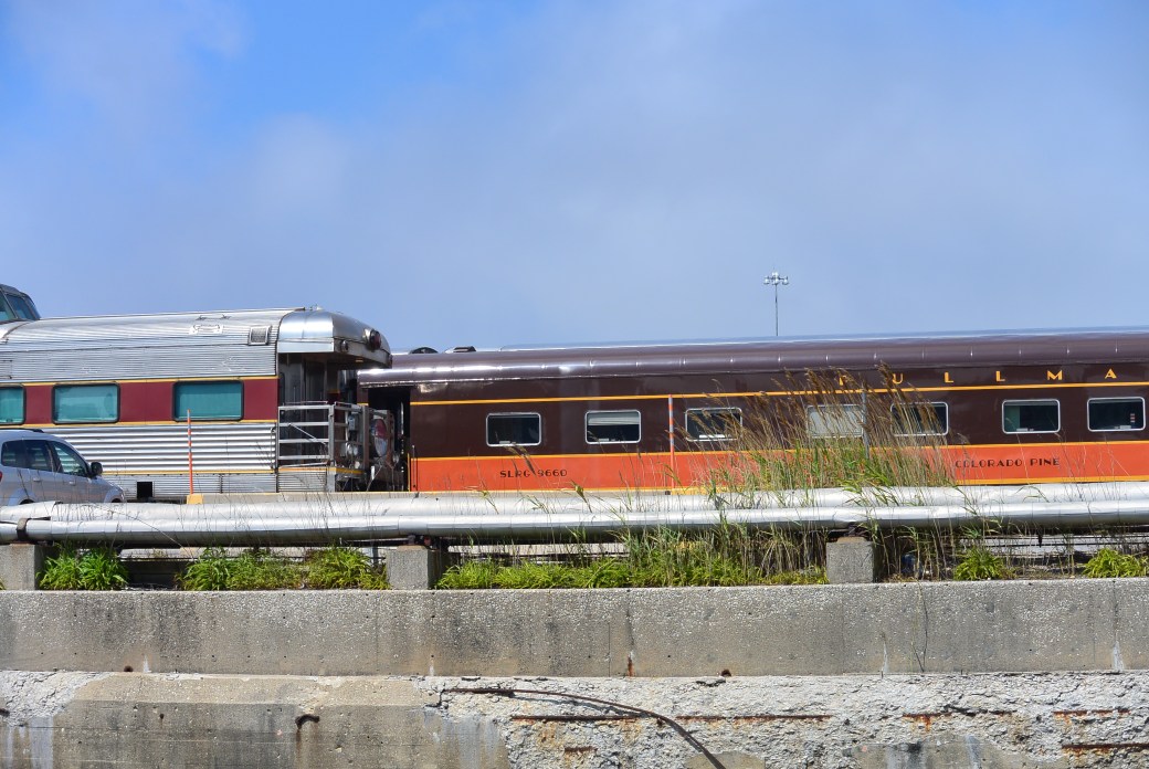
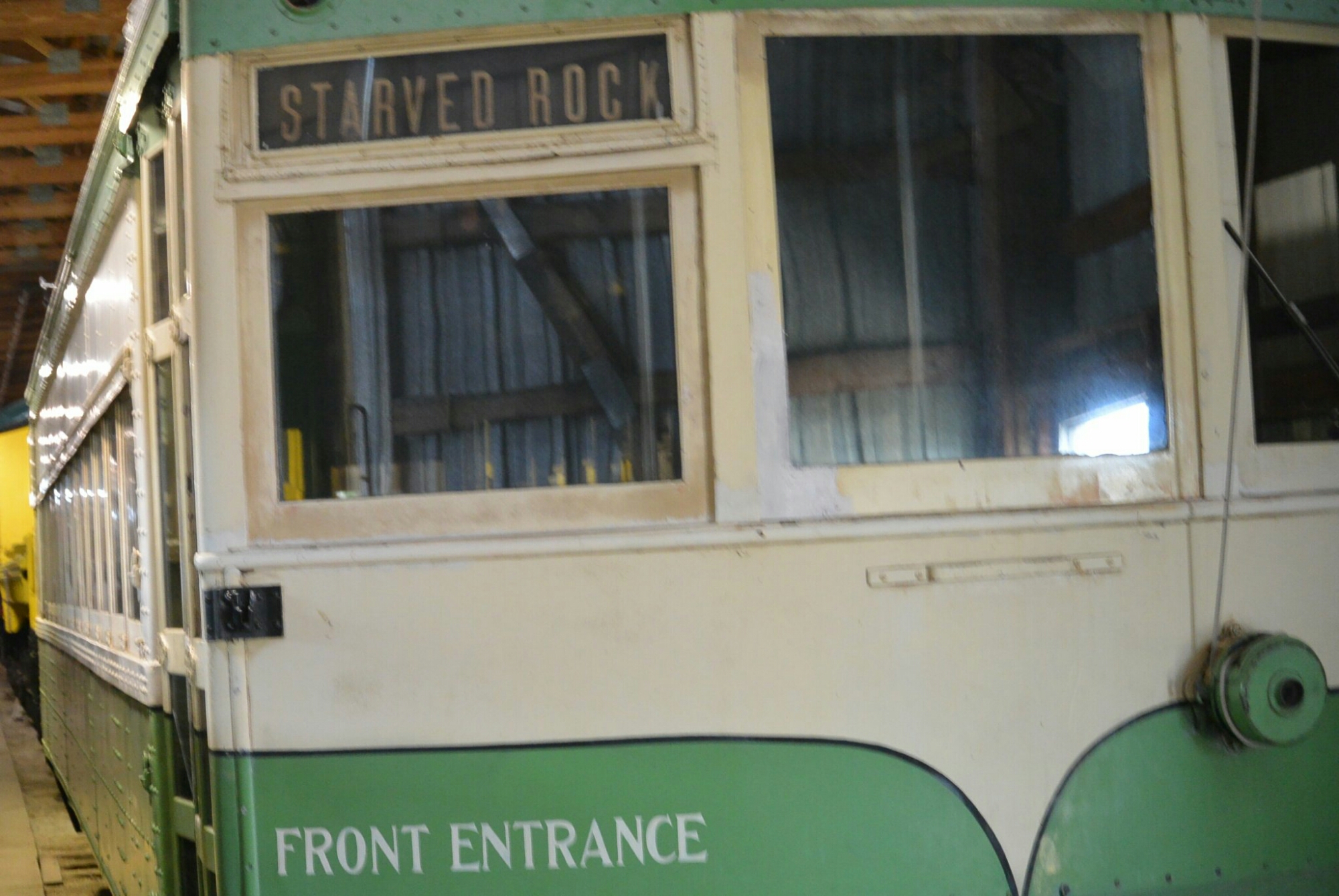
Amtrack Yard Vintage Cars south branch of Chicago River

DSC_1734

Same as above

DSC_1736

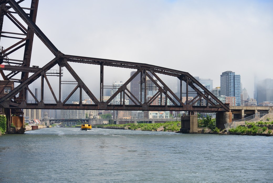
18th Street Railroad Bridge  south branch Chicago River

DSC_1737

Same as above


DSC_1739

Canal Street Railroad Bridge south branch of Chicago River

DSC_1740

same as above

DSC_1742

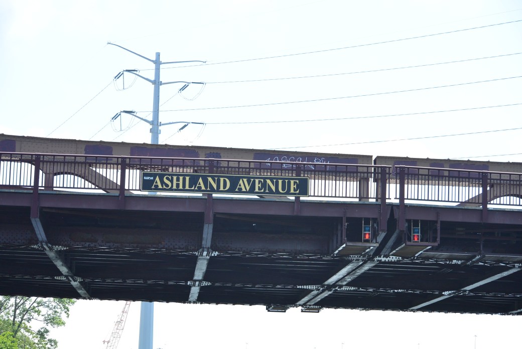
Ashland Avenue Bridge at the junction of the south branch of the Chicago River and the Sanitary and Ship Canal

DSC_1743

Damen Ave Bridge

DSC_1744

Canal Origins Park

DSC_1746

Santa Fe Grain Elevators  south branch of Chicago River

DSC_1749

Same as above

DSC_1801

Same as above

DSC_1751

South Western Avenue Bridge Sanitary and Ship Canal

DSC_1752

Eight track railroad bridge west of Western Avenue

DSC_1753

Same as above

DSC_1754

California Avenue Bridge over Sanitary and Ship Canal

DSC_1756

Chicago, Madison and Northern Railroad


DSC_1760

Kedzie Avenue Bridge


DSC_1770

Santa Fe Bridge

DSC_1756

Santa Fe Bridge


DSC_1765

Harlem Avenue Bridge and Santa Fe bridge

DSC_1766

Sanitary and ship canal

DSC_1767

sanitary and ship canal

DSC_1772

Stevenson Expressway Bridge

DSC_1779

Stevenson Expressway

DSC_1774

Same as above

DSC_1781

South LaGrange Road

DSC_1776

Indiana Harbor Belt RR

DSC_1775

Same as above

DSC_1778

LaGrange Rd

DSC_1779

TriState Toll Road

DSC_1784

Near the Junction of the Cal Sag and the Sanitary and Ship Canal

DSC_1785

Junction Area

DSC_1786

Junction Area

DSC_1787

Cal Sag Canal  Archer Ave Bridge

DSC_1790

Sanitary and Ship Canal


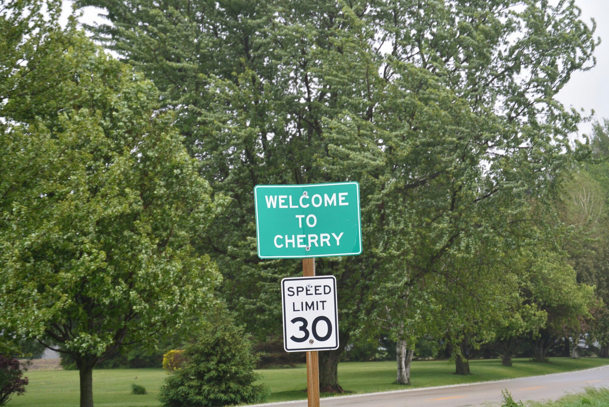
Cherry, Illinois

Cherry, Illinois

Cherry, Illinois is a small town in central Illinois Bureau County.   It current population is approximately 500.    In the early 1900’s, it was a coal mining town.  The mine was started by the Saint Paul Coal Company in 1905. It was operational until 1927.   It provided coal to the Milwaukee Railroad.  In its prime, it produced 1,500 tons a day.  The mine consisted of three horizontal shafts of varying depth and two vertical connecting shafts.  The mine was considered to be safe at the time.  It had a ventilation fan.  It was thought to be fire proof.  It was illuminated with electric lights.  The miners were predominantly Italian immigrants.  Many spoke no English.  Many children some as young as 11 worked in the mine.

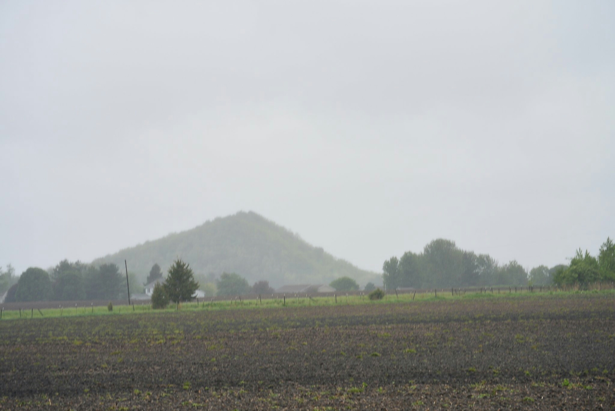
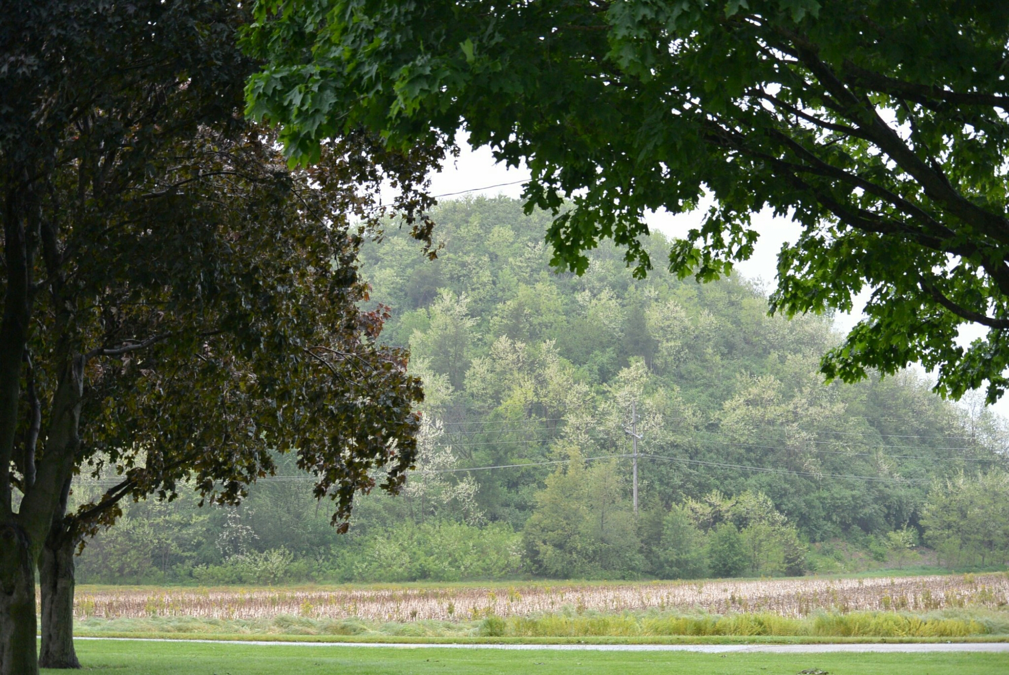
Cherry Mine Slag Hill

Cherry Mine Slag Hill

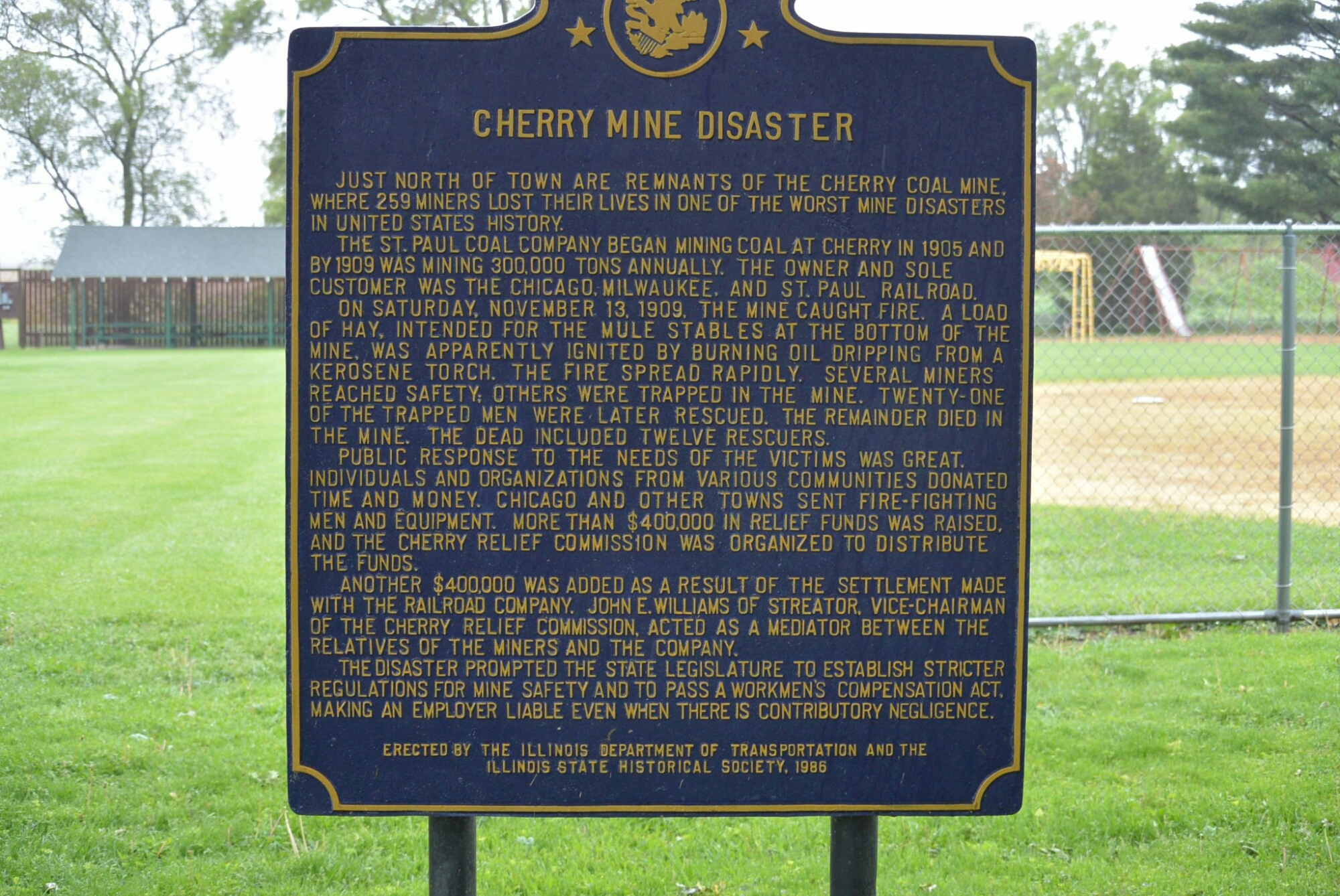
Historical Plaque

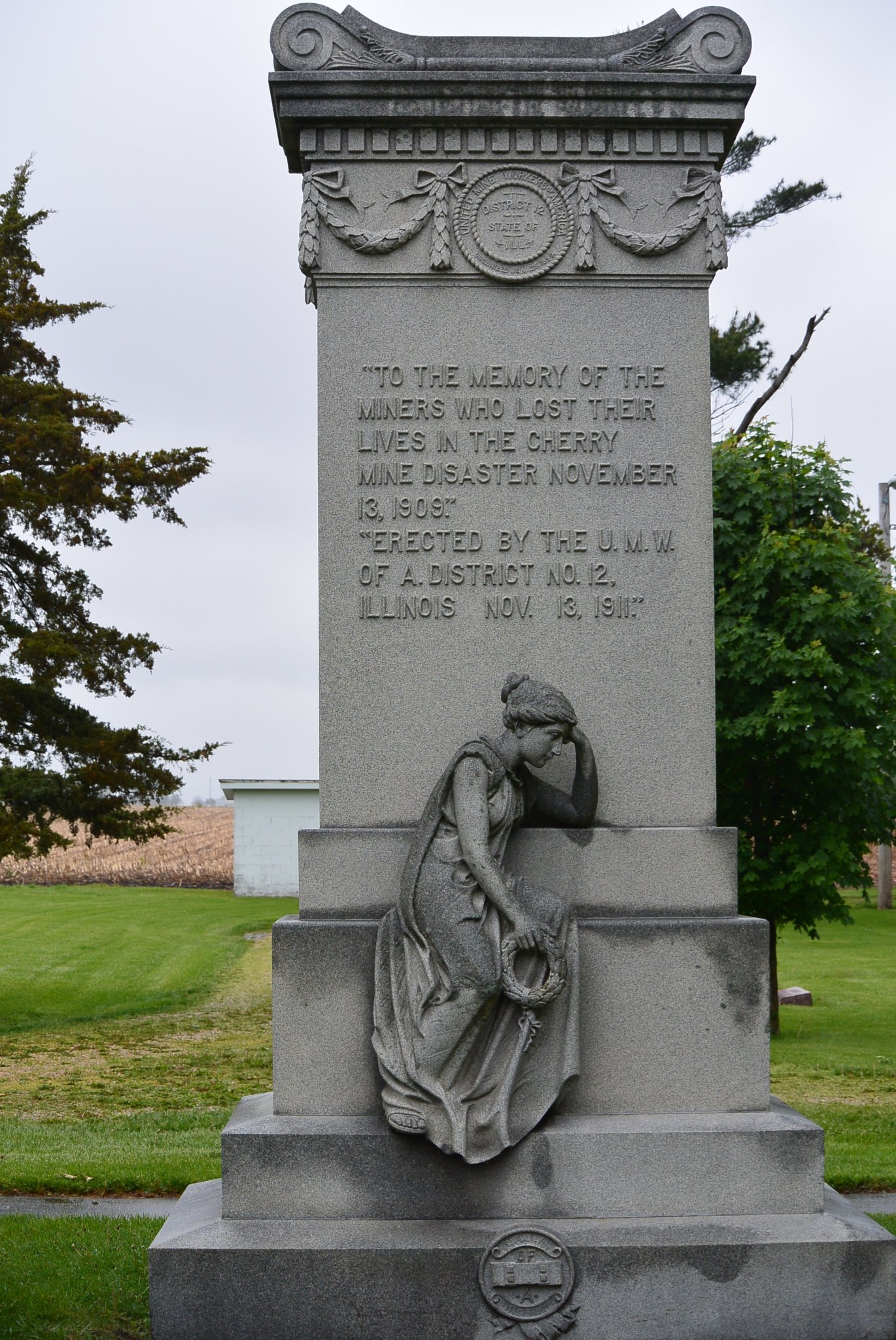
Cemetery Memorial Cherry Mine Disaster

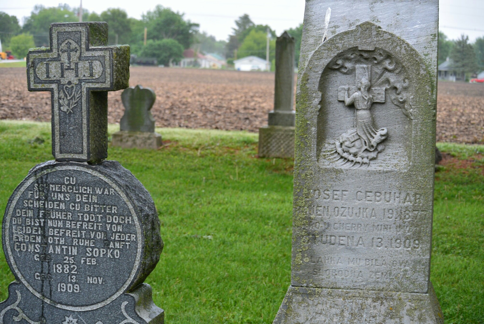
Graves of Mine Disaster Victims

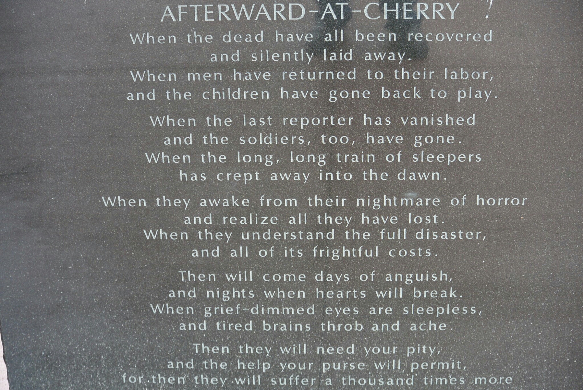
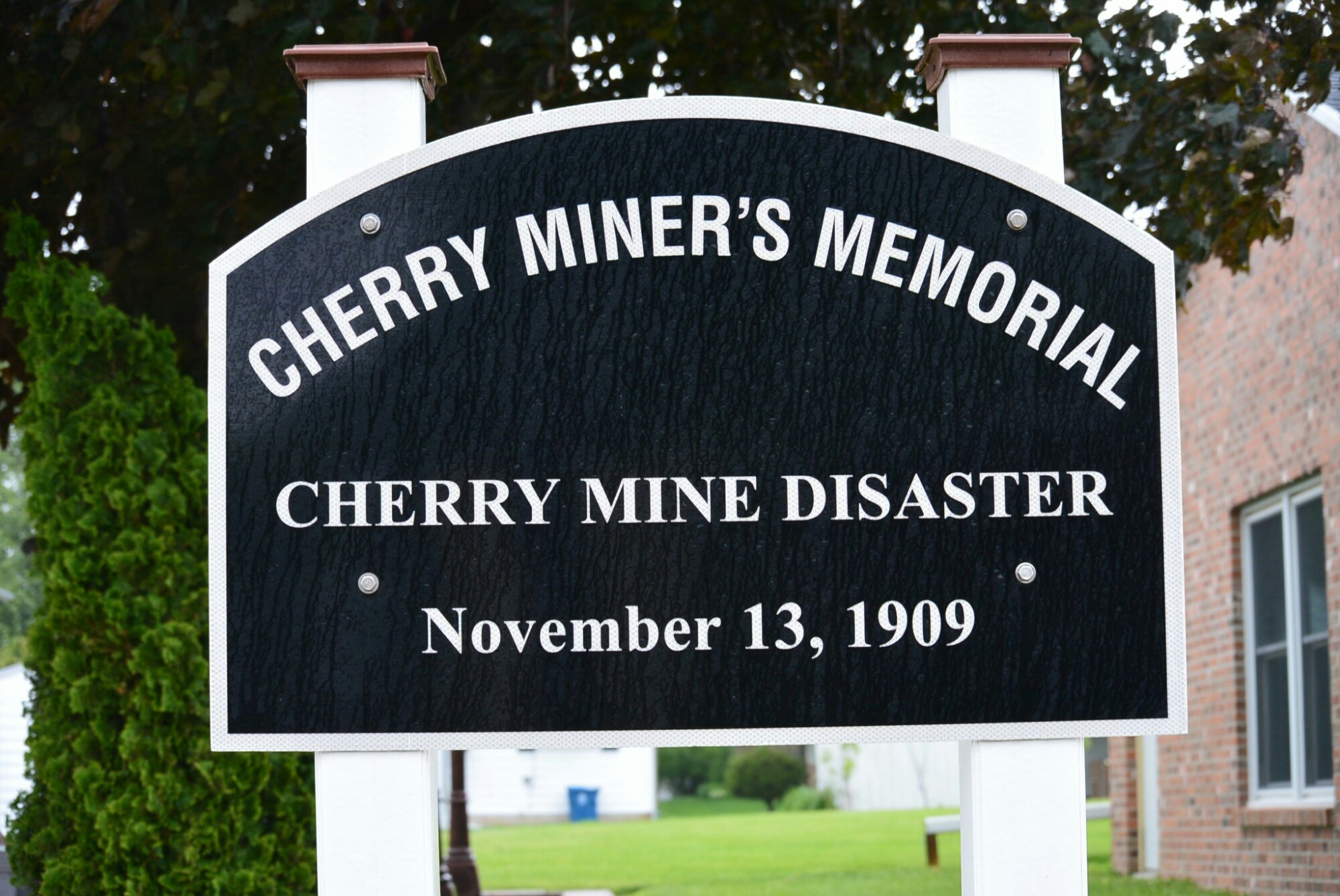
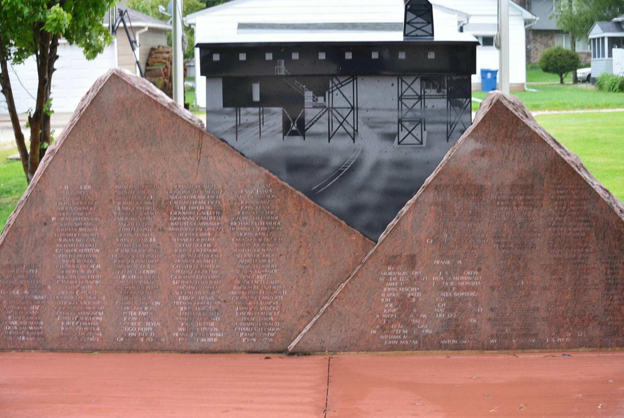
Cherry Mine Disaster Memorial

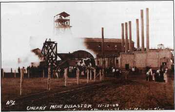
     The mine was the site of one of the worst mine disasters in the United States at the time.  It occurred on  November 13, 1909.  At the time there were approximately 500 miners working.  There had been an electrical shortage and the mine light system was not operational.  The miners switched to the old kerosene lanterns.    At approximately noon, a car filled with hay caught fire and spread to the support timbers.   The fire spread despite many maneuvers used to control it.   There were approximately 259 victims of this disaster.  Shortly after November the mine was sealed and left that way for 3 months.  It was then reopened and the bodies of the missing miners.

The Saint Paul Mining Company paid $1800 to the families of the victims.

cherrymine12

Picture of the Mine at the time of the fire

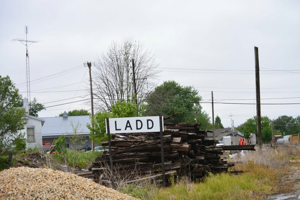
Ladd, Illinois

Ladd, Illinois.

Railroad. Ladd, Illinois.
dsc_1627.jpg

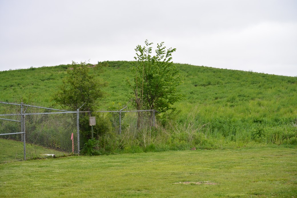
Ladd Slag Pile

The village of Ladd is a small community located in Bureau County in central Illinois.  The area was originally called Osgood after the owner of the mine in the area.  Later it was called Laddville after a businessman from Peru, Il.  It was incorporated in 1890 as Ladd.
In 1888, the board of directors of the Whitebreast Fuel Company (Ottumwa, IA), authorized its agent William McNett to purchase mine rights in a section of Bureau County, Illinois.    The purchase consisted of approximately 10, 500 acres in an area around what was to become Ladd.  The site was chosen because of its proximity to a main road.  There was also a railroad Illinois Valley and Northern.  This was constructed to service an elevator in Ladd owned by George Ladd.  This track was leased by the Chicago,  Burlington and Quincy.    Later the Milwaukee Road built a terminal in the area.

     The original miners came to the area from Iowa in 1888.  They encountered considerable difficulty in drilling due to the composition of the soil.  After one and a half years, they successfully drilled 3 shafts.    Whitbread fuel company operated the mine for 11 years.

     In 1901, the mine was purchased by S.M. Caldwell and a group of investors.  The company was called Illinois Third Vein Company.   The new company made over $100,000. In improvements in the mine.    They erected a coal washing plant.  They installed a new ventilating fan.  

  At its peak, the town of Ladd had 700 miners and 300 railroad employees.  This continued until 1924.  The mine produced 6,198,174 tons of coal during its life.  

   The mine was closed in 1924 in  part due to competition with nonunion mining in southern Illinois.  The miners relocated to areas with active mining operations.  Railroad workers were relocated.

    The abandoned mine was sold to Peter Bergandi in 1925.  The purchase price was $5000.  Not much is known about what this individual did with the mine.

     The only remnant of the mine is the slag pile.  It was composed of shale and slate rock. At one time, it stood at 252 feet in height.   Recently, it’s height was reduced by 80 feet by the Illinois Department of Natural Resources.   The mine shafts were refilled.  

  In the past,  plans were proposed for the slag hill.  One of the more novel ones was a revolving night club at the top.  Trees were planted on the hill by school kids.