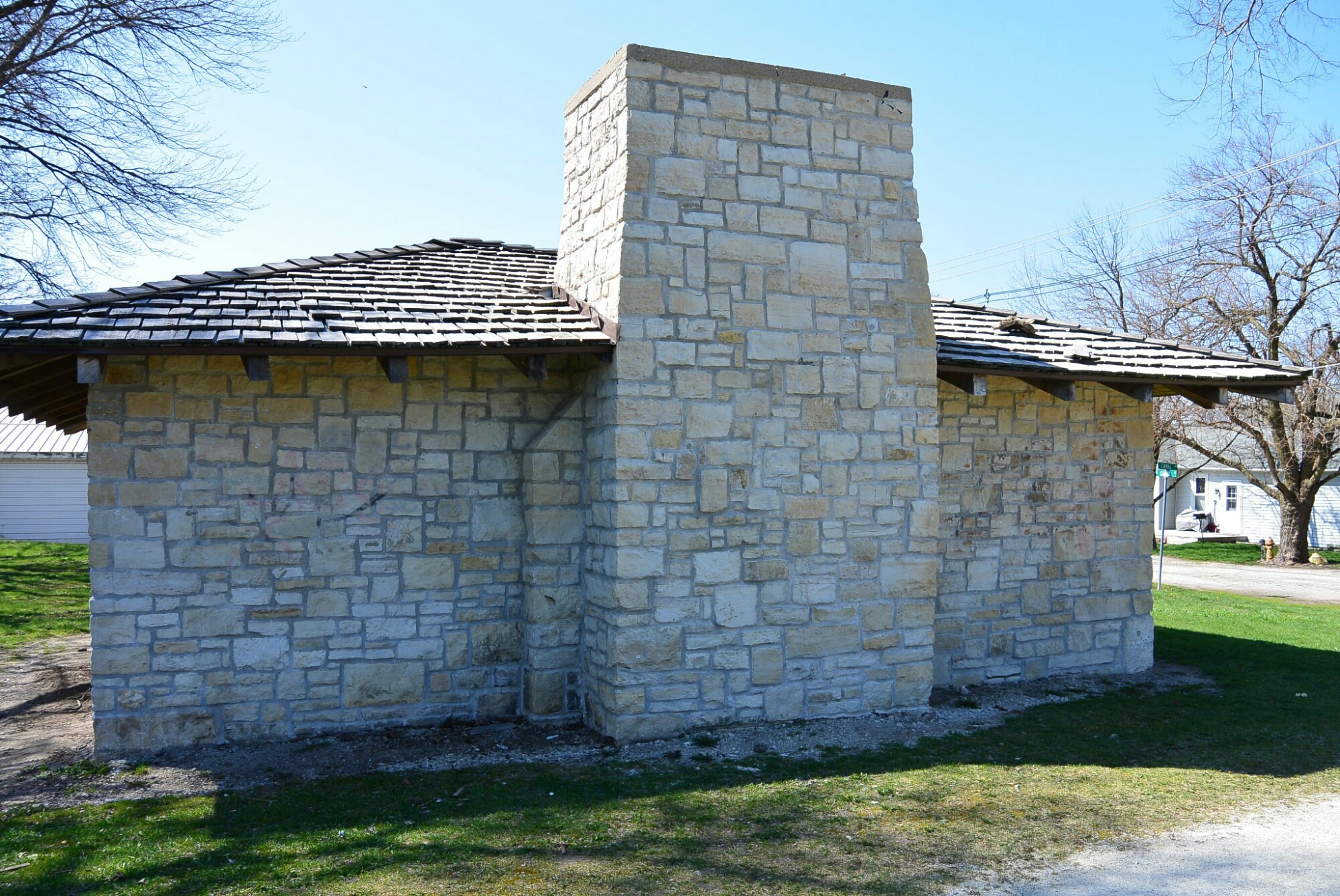
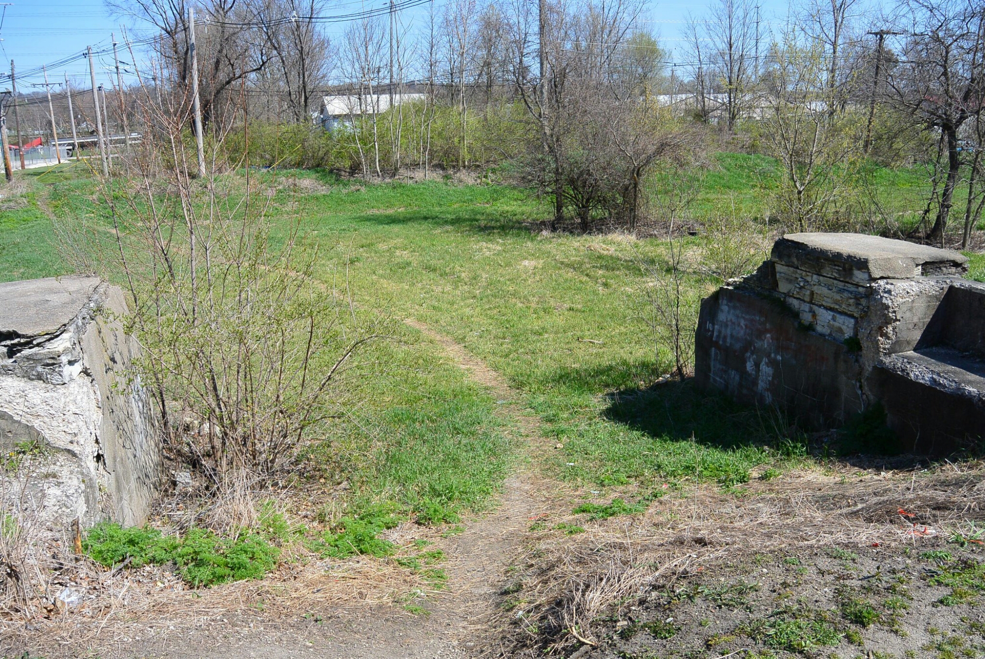
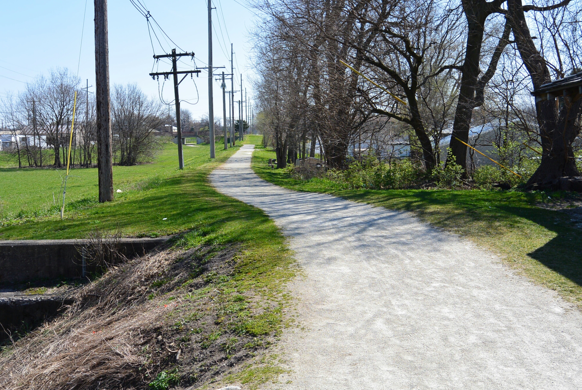
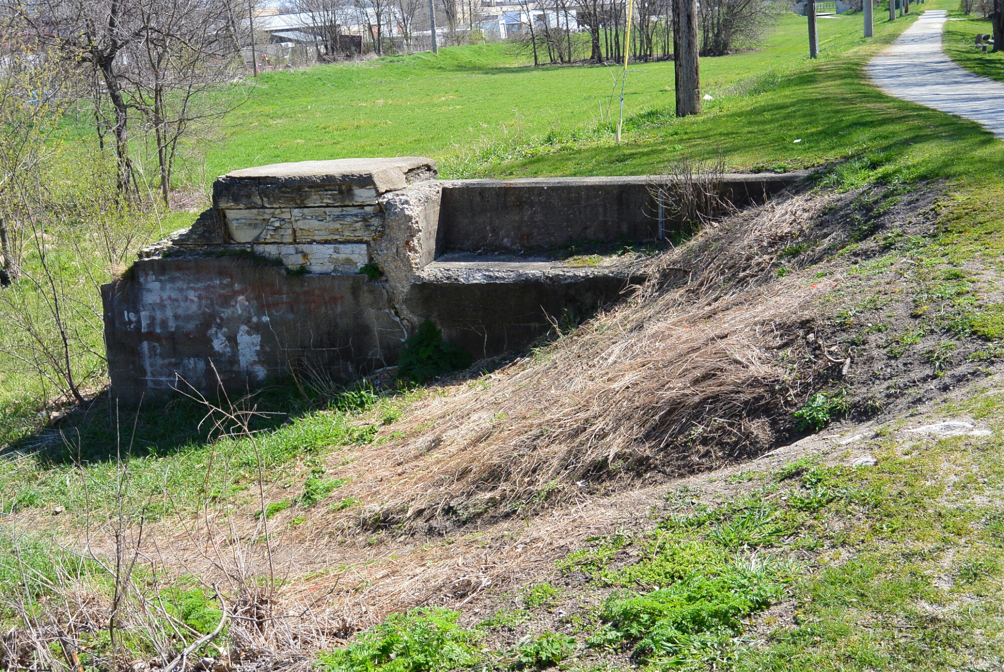
Lock 10 Illinois Michigan Canal

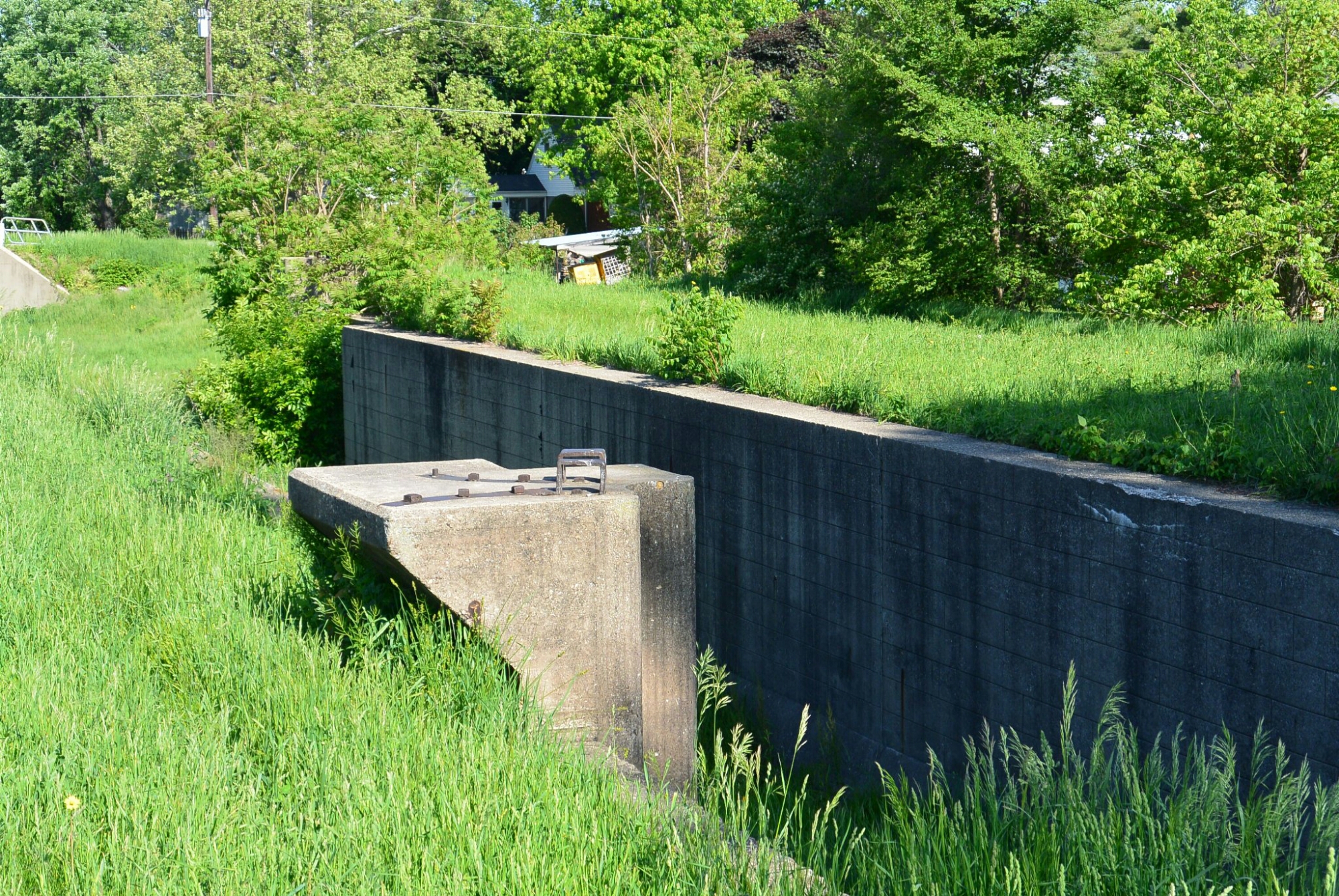
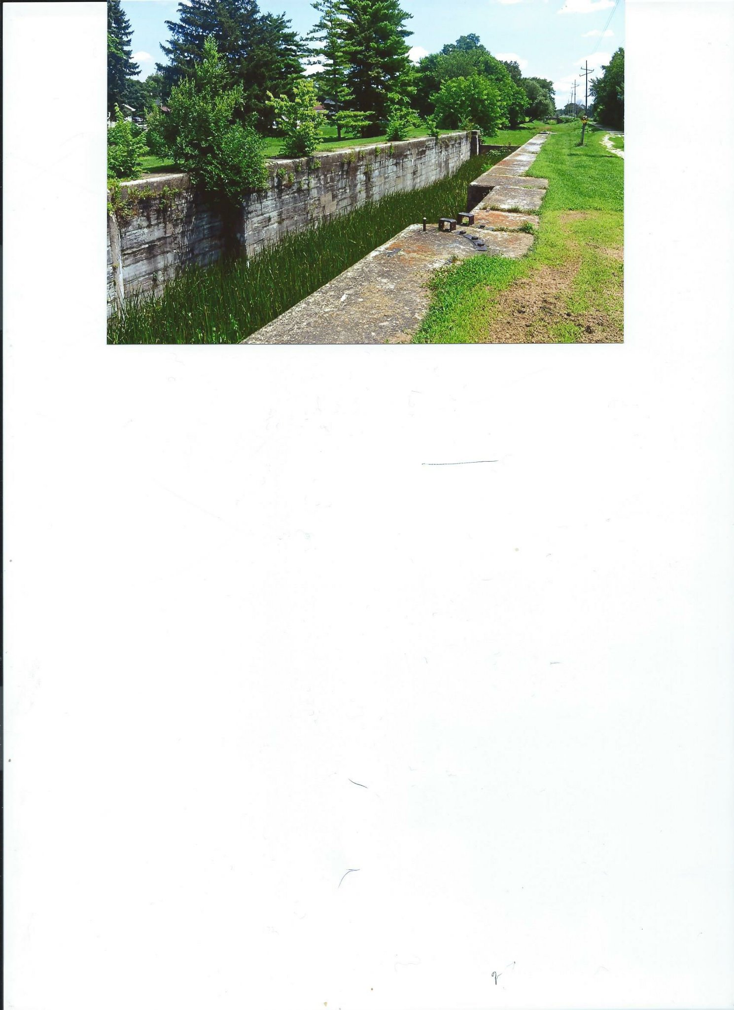
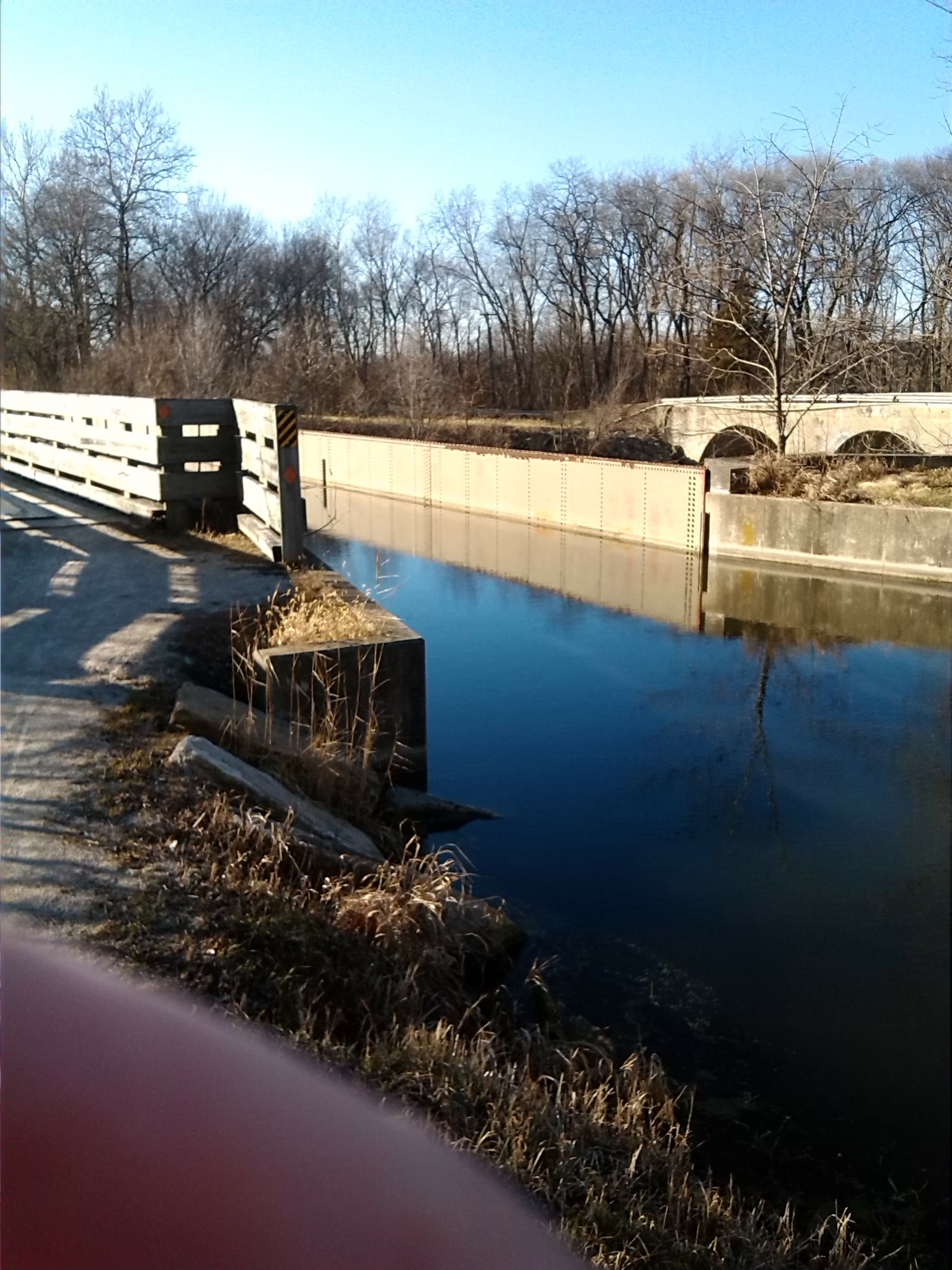
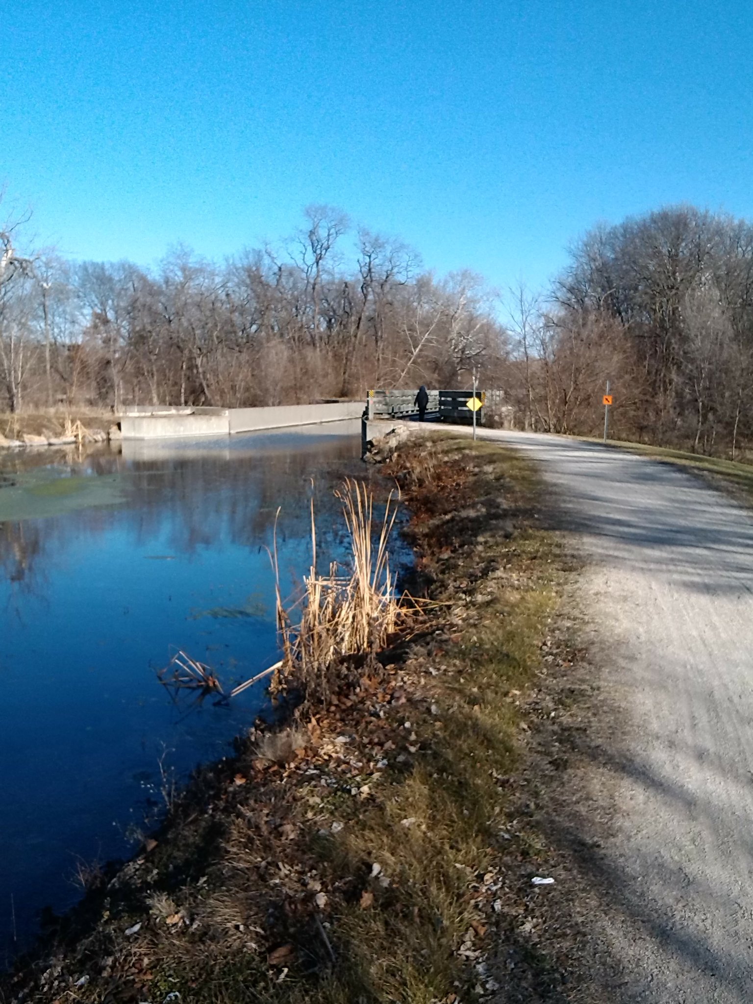
This lock was one of the original designed by the William Gooding, the chief engineer of the I and M canal.  It was constructed in 1845-1848.    Its length was 110 feet.  Its width was 18 feet.  Its walls were originally sandstone.  It had timber gates.  Its lift was 8.3 feet.  It a few hundred feet west of Lock 9.

In 1865, its walls were partially rebuilt in timber.  In 1877-78, its wall were reconstructed with ashlar limestone. The lock was in operation until the 1930’s.

The CCC rebuilt the walls with concrete a few years later.  There are no longer wooden gates.  There is currently no water in the lock.

image

Lock 10

image

Lock 10. I and M Canal

Lock 8 Illinois Michigan Canal.

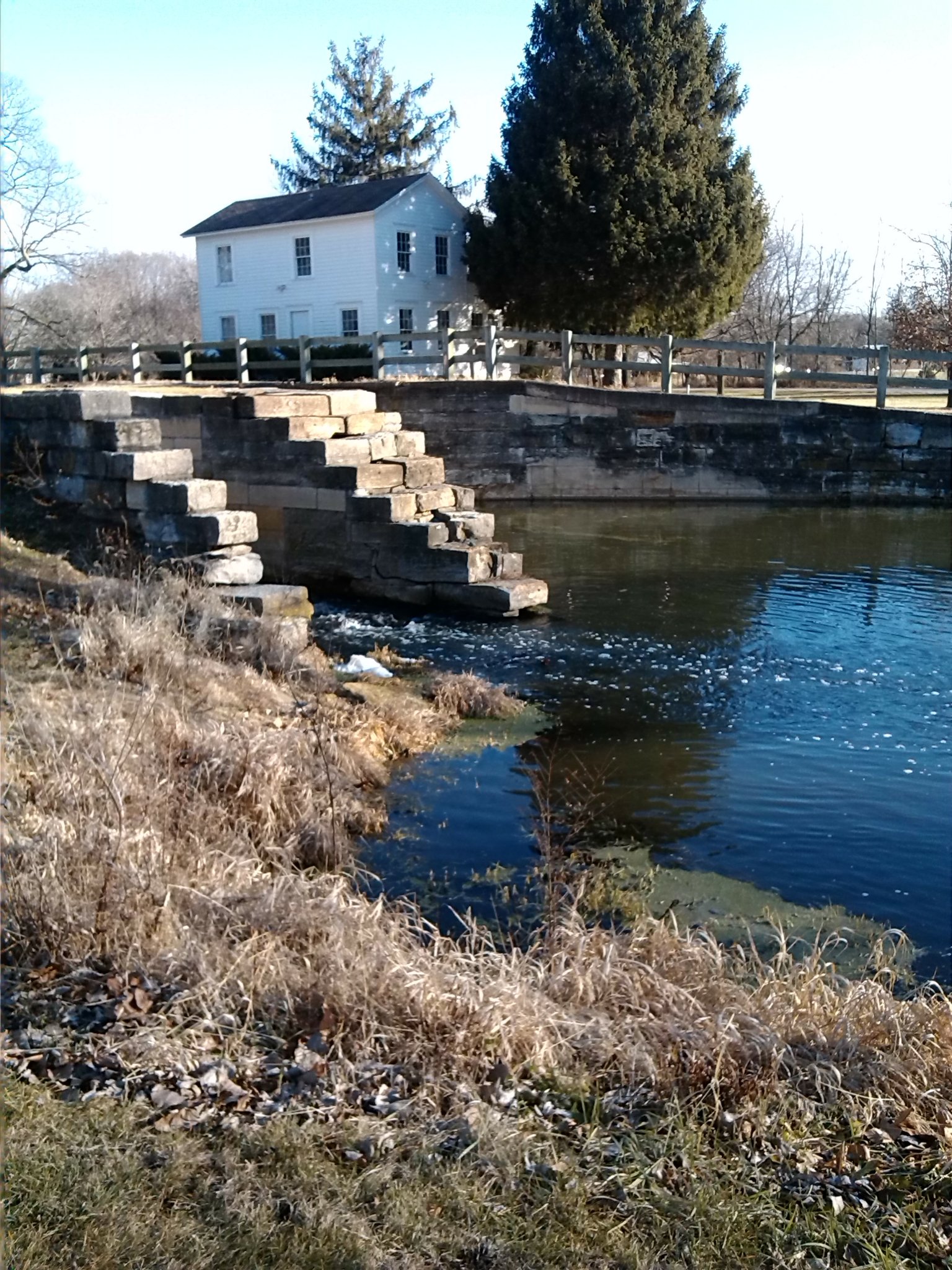
There are many interesting canal structures in the area where the Aux Sable Creek intersects the canal.  There is an aqueduct, a lock keeper house and Lock 8.

Lock 8 is one of the original 15 locks designed by the chief engineer William Gooding.   It was built in 1848.  As constructed, it was 18 feet in width and 110 feet in length. It has a lift of 6.5 feet.  The lock wall was made with ashar limestone.   In years gone by, some of the limestone blocks were replaced with concrete.  The gates were made of timber.    Total original construction cost was $ 4,500.00

In 1887, a sawmill and a barrel factory were located just north of the lock. These facility were powered with water traveling down a spillway.    There is no evidence currently of these two plants.

In 1936-7, the CCC renovated the lock.  The lock walls were repaired.  The timber gates were replaced with like material.

The upstream lock gate was replaced sometime between 1959-1964 with a non movable concrete gate.  Later the downstream gate was completely removed.

Contractors was Mattison and Company.

image

Lock 8 and toll house

image

Lock 8

Lock 15 Illinois Michigan Canal

In planning and building the Illinois Michigan Canal, it was only logical that William Gooding (Chief Engineer of the I and M canal) would consult with someone with more experience than him.   He chose Benjamin Wright.   He had been chief engineer for the Erie Canal and the Chesapeake and Ohio Canal.   They developed the plans for the 15 I and M Canal locks in 1837.   These were to be 18 feet in width and 110 feet in length.  Stone for the lock chambers was mined locally.  Natural and hydraulic cement was used to join the stone blocks.  The gates of the locks were made of timber.  Most were constructed during the  period from 1846-1848.  The locks were kept in place until the 1930’s.  The CCC did extensive renovation during the depression years.

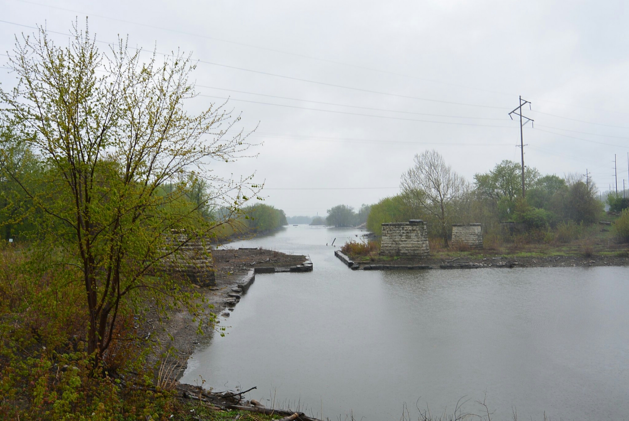
Lock 15 was the most western lock.  It had a lift of 11.52 feet.  It was situated between the steamboat basin and the canal boat basin. The lock has been submerged since the 1930’s.  The gates have been removed.

Contractors involved in the construction included : Cooper, Sanger, Grubles.

image

Lock 15

image

Lock 15

Aux Sable Aqueduct Revisited

At the site of the crossing of the I and M canal and Aux Sable Creek, there is an aqueduct.  The original aqueduct was completed in 1847.  Its superstructure was a 2 span timber Howe truss.  This was supported by limestone piers.    It was 136 feet in length and 28 feet wide.   In 1927-8, the wooden aqueduct was replaced by a steel structure.    In 1948, the limestone piers and abutments were reinforced.  After 1986, the piers were rehabbed.  The superstructure was painted.

Currently, the aqueduct is a trough with riveted steel plate girders.  This rests on ashlar limestone piers and abutment.

According to records kept in the Illinois State Archives, the following is a list of contractors working on the aqueduct:  Matteson, Campbell, Hall, Lord, Wall, Sordslo, Kinsley, Mallison.

image

Aux Sable Aqueduct

image

Aux Sable Aqueduct

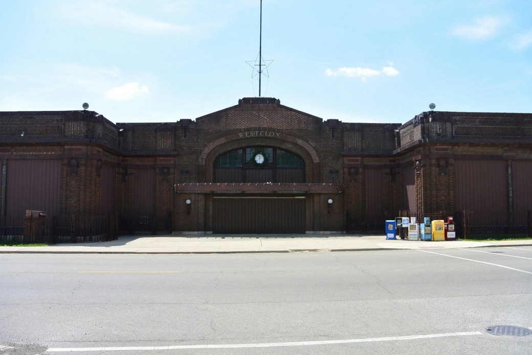
Westclox Revisited

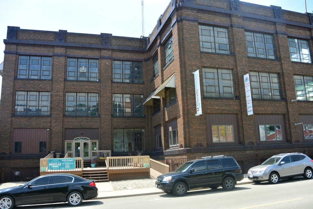
Charles Stahlberg was an inventor from Waterbury, Connecticut.  He came to LaSalle Peru with  a plan to establish a clock factory.    Nowhere in my research can I find why he chose this area.  He had an idea for improved manufacturing of low cost clocks.  This idea was patented in 1885  (326,602).

     He was able to attract local investors to help  establish his business.  With this financing, he was able to build a small plant ( 3 stories; 100 feet long by 40 feet wide).  On 12/23/1885, the new company called United Clock  Company began operations. It was a small operation.  It had 25 employees.  Production averaged 50 alarm clocks a day. The factory was struggling from the beginning.  In 1887, they filed for bankruptcy.

     This might have been the end of the story if not for F.W. Mattiesen.  He was a local businessman who was part owner of a zinc smelting plant.  He bought the plant and founded the Western Clock Manufacturing Company in 1888.  Mr. Mattiesen provided new management and capital for the company.  Early on there were manufacturing, financial and marketing issues.   Mr. Mattiesen had to put money in the business for years. 

The business grew because of the quality of its product and the fair treatment of its customers and employees.  The plant was expanded.  Modern machinery was was brought into the plant.   By 1890, there were 81 workers; by 1900, there were 245; by 1910, there were 896.  It expanded its market to foreign customers.

The company obtained a patent for the Big Ben Alarm Clock Movement in 1908.  The bell mechanism was integral to the clock case.    This clock was first brought to market in 1909.  In 1910, the Big Ben was the first alarm, clock to be advertised nationally (In the Saturday Evening Post).

The company name was shortened to Western Clock Company in 1912.   It was incorporated in 1919.  In 1931, the company merged with Seth  Thomas Clock Company.  Both companies became divisions of General Time Corporation.  The LaSalle  Company was known as the Westclox Division of General Time Corporation in 1936.

In 1938, Westclox debuted its first portable travel alarm clock.

During the second World War, General Time and subsidiaries produced aviation instrumentation and control components, compasses for the army, and clocks for the navy.  During 1942-1944, Westclox ceased all domestic production and concentrated on resources for the war effort.  They became a major producer of of fuses for military ordinance.

For years starting in 1899, Westclox produced inexpensive pocket watches.  They continued in this effort to the 1990’s.

in 1959, Westclox introduced its drowse alarm.  They also received a patent for this.  In 1972, they introduced a quartz movement.

In 1968, Talley Industries acquired General Time. In 1988, General Time was purchased by its  management from Talley Industries.    Bankruptcy followed.  The Westclox and Big Ben trademarks were sold to Salton, Inc in 2001.  In October 2007, Salton sold its entire product line to NYL Holdings.

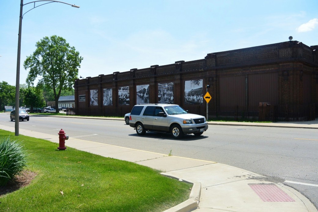
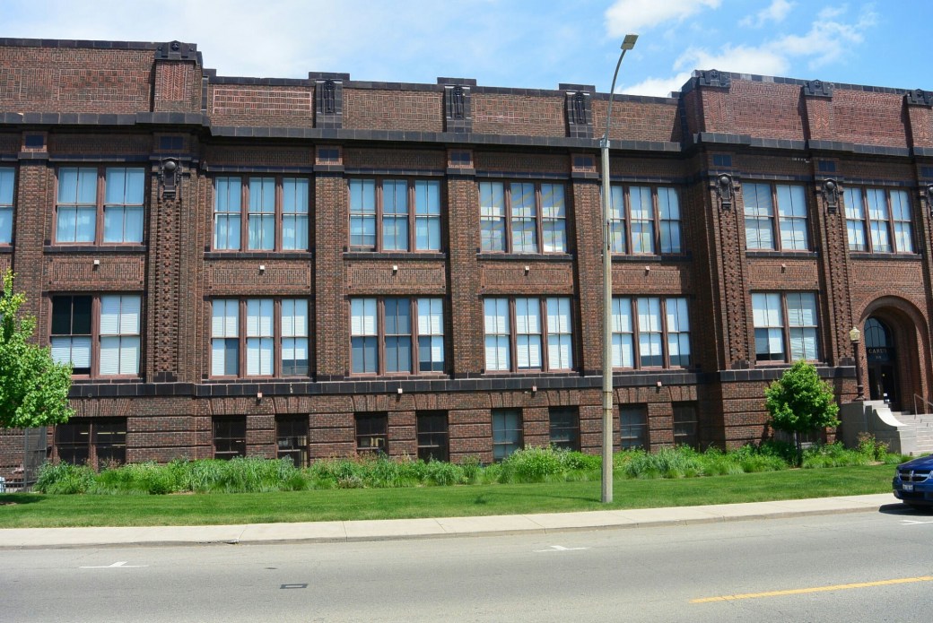
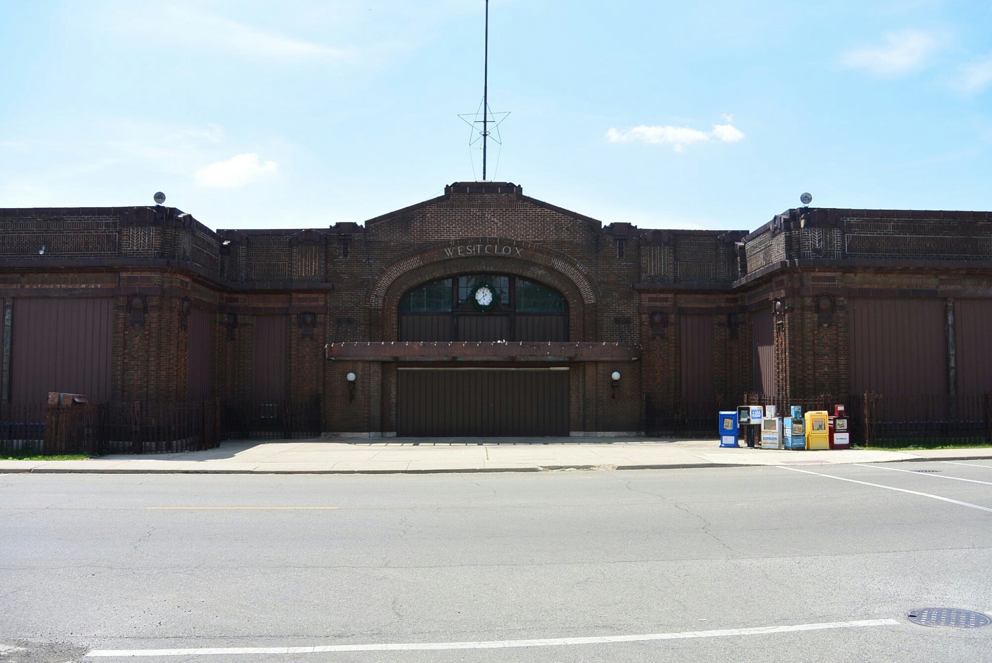
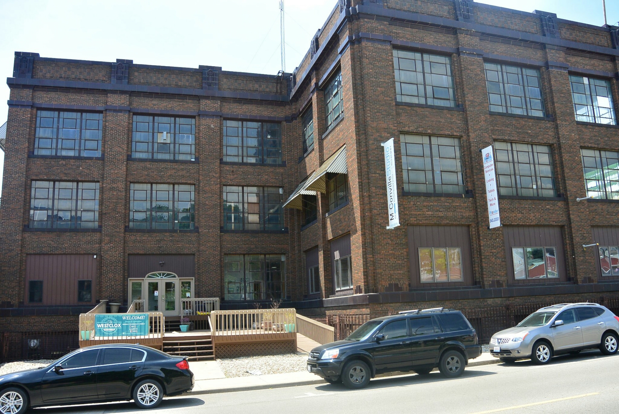
The LaSalle Peru factory was closed in 1980.  At its peak, Westclox employed 2800 workers.  Its plants covered over 20 acres.

On January 1, 2012, there was a fire at the Westclox compound in Peru.  The fire destroyed approximately one half of the structures.  The fire was apparently secondary to arson.

Recently, a Westclox Museum has been established in one of the old buildings of the plant.  It address is  320 5th Street, Suite 265, Peru, Illinois.  There is a substantial collection of clocks and other products made by Westclox.    I highly recommend it.


image

image

image

image

image


Nettle Creek Aqueduct Revisited

This aqueduct is located near Morris, Illinois.  It traverses Nettle Creek.  It is 80-90 feet. It was constructed in 1847.  The contractors were William Pierce and a Mr. Armstrong.  The original construction was a wood superstructure and redstone piers.    The wood structure was replaced by a steel trough.  Later modifications were made of the superstructure.  The sandstone piers had to be replaced by cut stone.  The aqueduct was destroyed by a flood in April 19, 2013.   It is still in this condition.  There is no water in the aqueduct and consequently there is no water in the canal just west of the aqueduct.
The project to replace this aqueduct has been on hold due to the lack of state funds.

Fox River Aqueduct Revisited

The Fox River Aqueduct was originally completed in 1848.  It was the largest of the Illinois Michigan Aqueducts measuring 464 feet in length.  The superstructure was originally made of wood later replaced with metal.  This was supported with limestone piers.  This structure crossed  was the Fox River in Ottawa

.  Main contractor was David Sanger and Sons.  Other contractors mentioned in canal records included:  William Howe and a Mr. Williams.  In addition to carrying the water of the I and M canal; the structure at one time carried the trains of an electric line.  The aqueduct is currently dry.

The Little Vermillion Aqueduct Revisited

  This is new information obtained from the Illinois State Archives.
Little Vermillion Aqueduct
        Date of original construction uncertain.  Length is 140 feet.  Piers were either sandstone or limestone.  Superstructure was originally wood later replaced with metal.  Following names were listed as contractors working on the aqueduct:  Byrne, Cody, Cahill, Fleahill, Howe, Williams Byron.

image

Little Vermillion Aqueduct

image

Little Vermillion Aqueduct

Canal Origins Park

     July 4, 2016 will be an important date in the history of the city of Chicago.  180 years prior to this, the ceremonial first shovel full of dirt was done at the origin of the Illinois Michigan Canal at the south branch of the Chicago River.  (Ever since the construction of the Erie Canal, it was customary to begin  U.S. canal projects on July 4th.)
     It would take another 12 years to complete the canal to LaSalle at the Illinois River. This man made channel would play an important role in the growth and development mainly of Chicago but also the other cities along the Illinois Valley.     
    Many years have passed since the canal construction.  Many changes have occurred.  The Illinois Michigan Canal was abandoned.  Virtually little remains in the Chicago area.  It was replaced by the Chicago Sanitary and Ship Canal, the Cal Sag Channel and later the Illinois Waterway.
In an effort to preserve a historical site of the I and M in the Chicago region, the Canal Corridor Association lobbied for preservation and public use of a 1.8 acre site at the junction of the Bubbly Creek and the south branch of the Chicago River. This is where the Canal originated from the river. Also in this region is the origin of the Chicago Sanitary and Ship Canal.
This parcel of property was used a a dumping site. Previous retail establishments at this site included a gas station and a seafood restaurant.
Eventually, the property was transferred from the state of Illinois to the Chicago Park District. The site was designated as a historic landmark. Native plants were restored in 2004.
Earth artist was retained to help with the design of what would be known as Canal Origin Park.
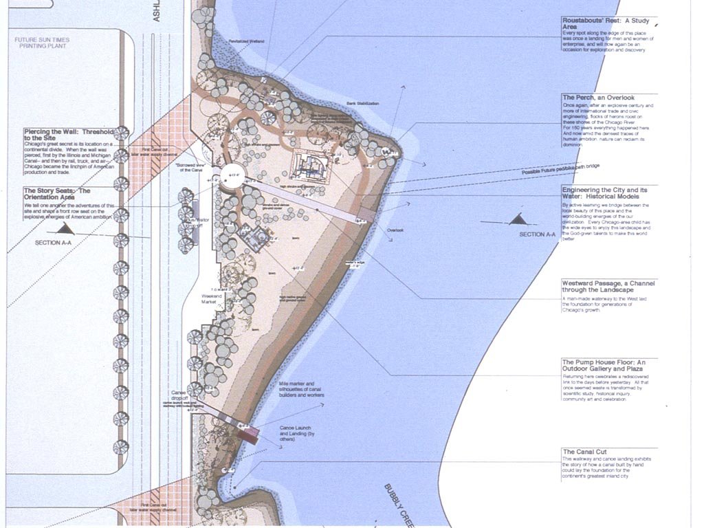
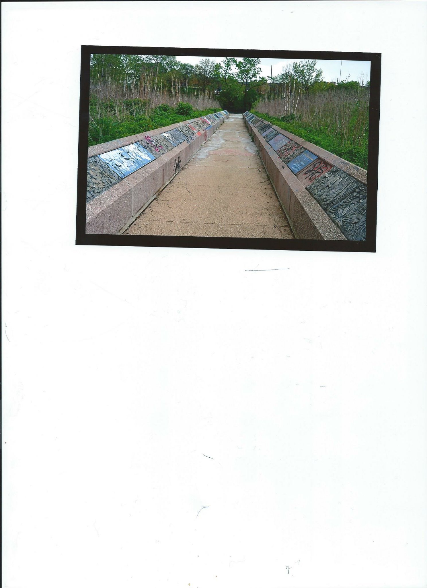
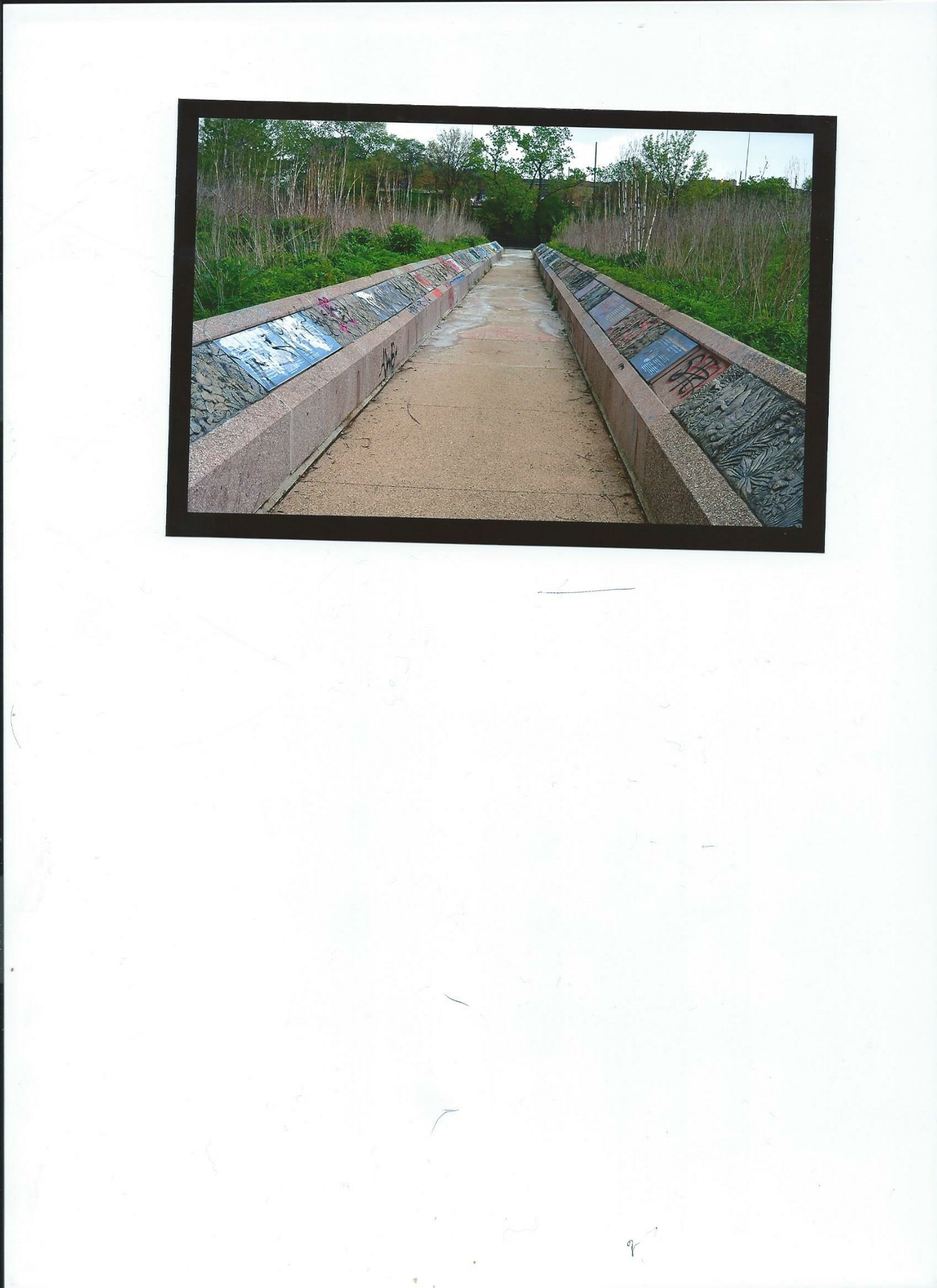
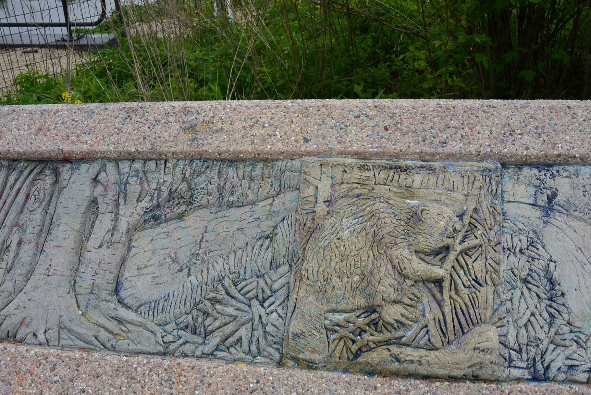
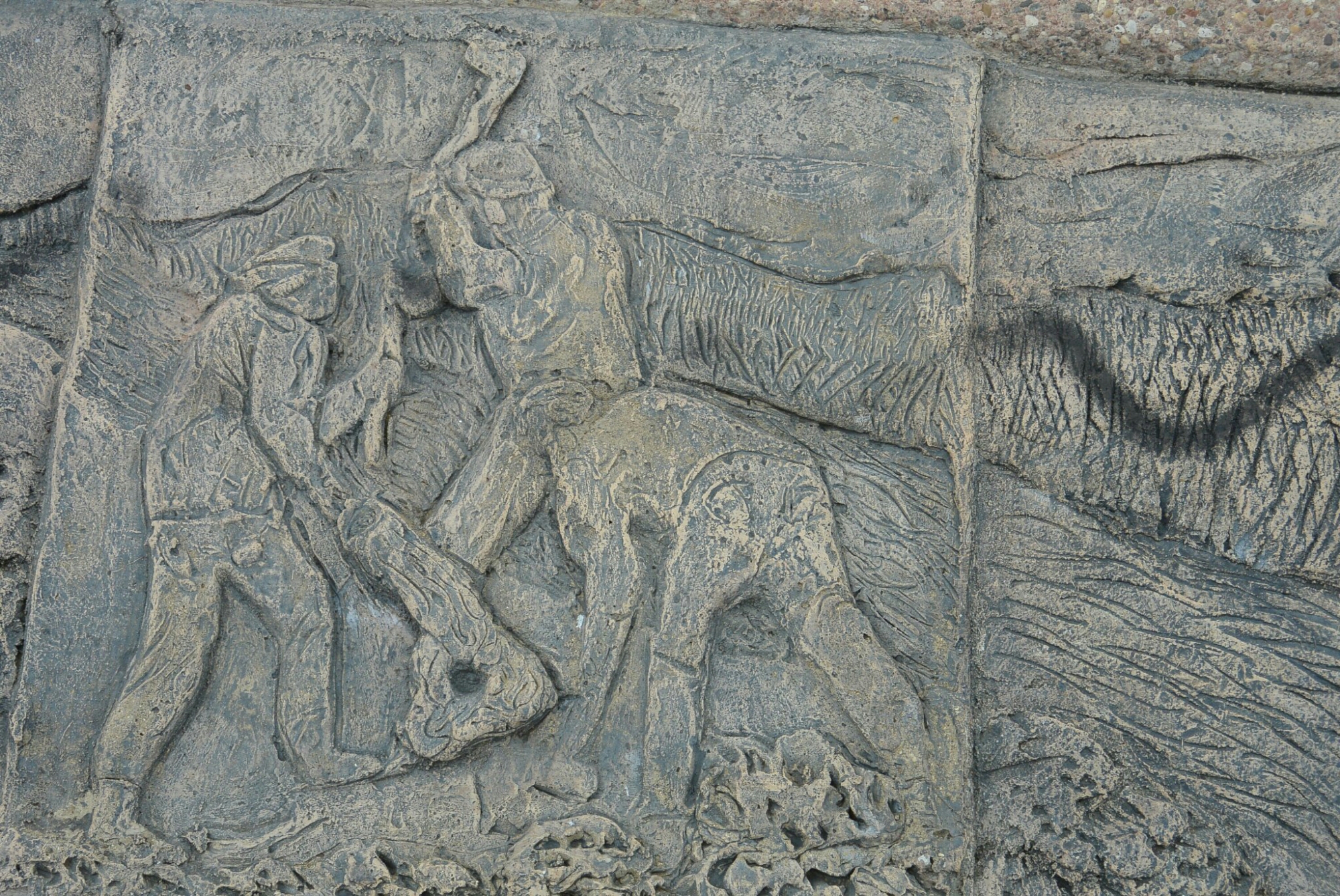
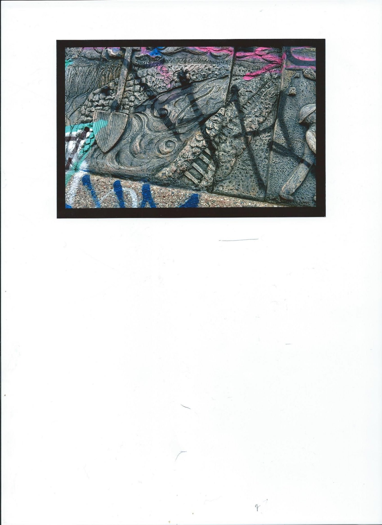
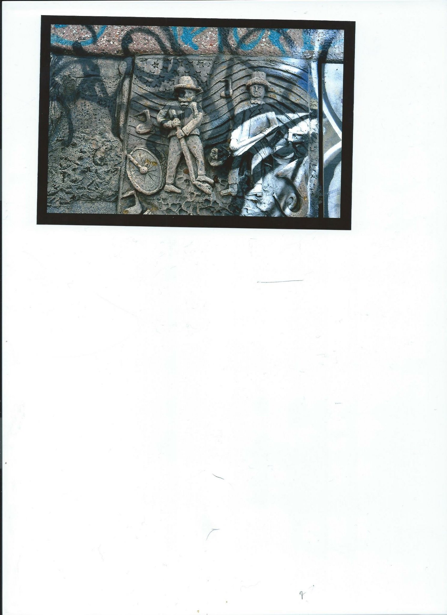
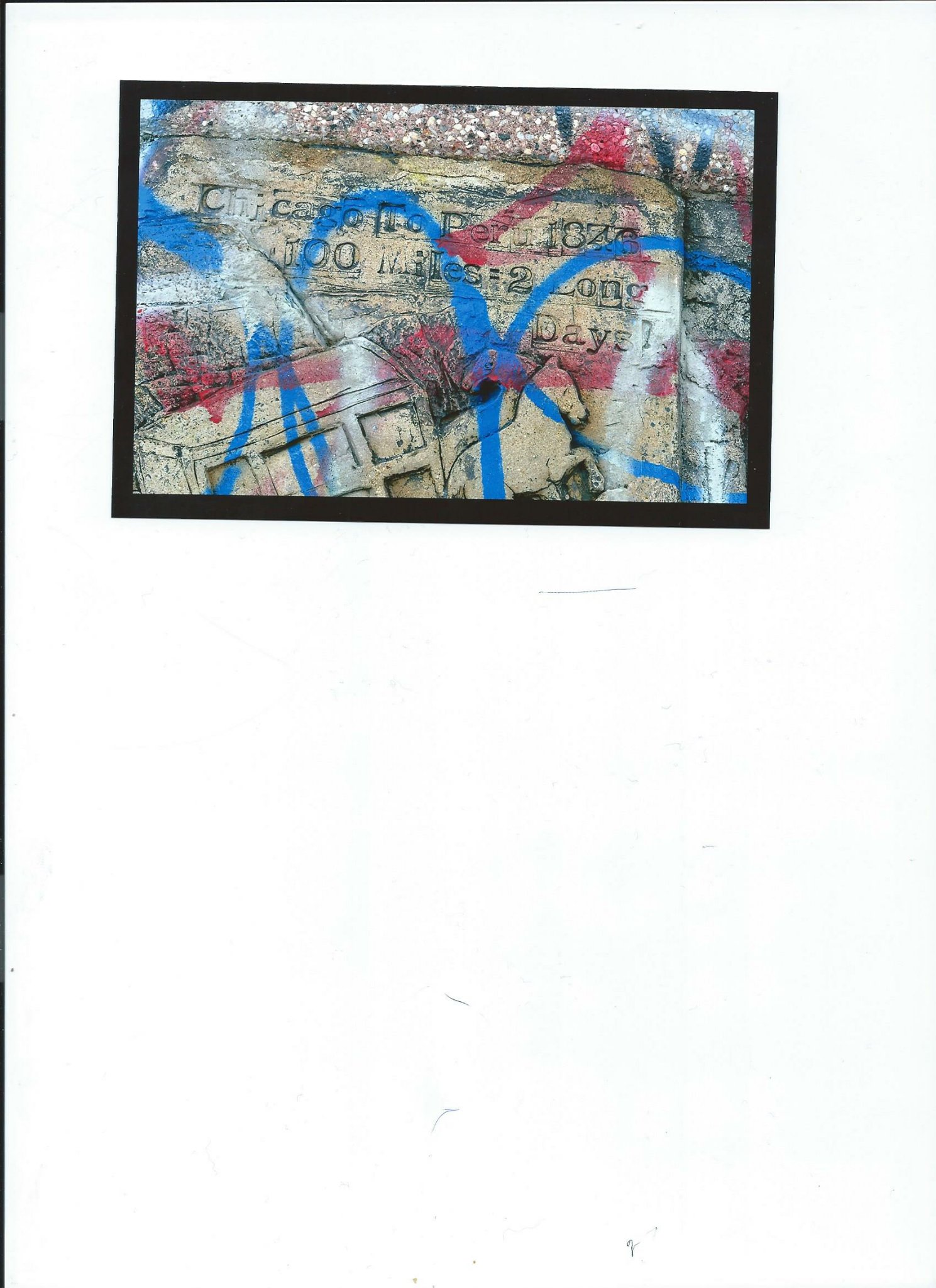
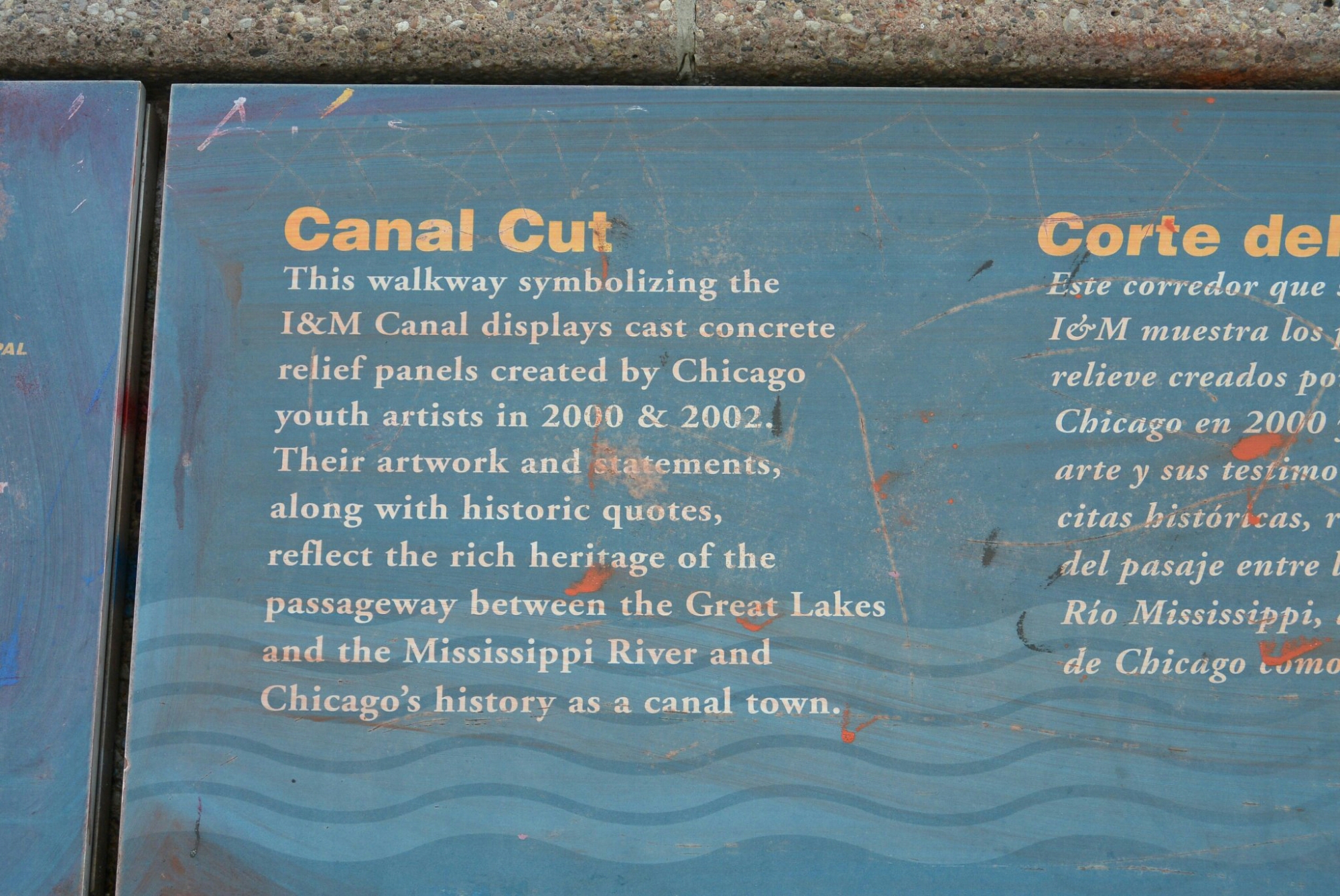
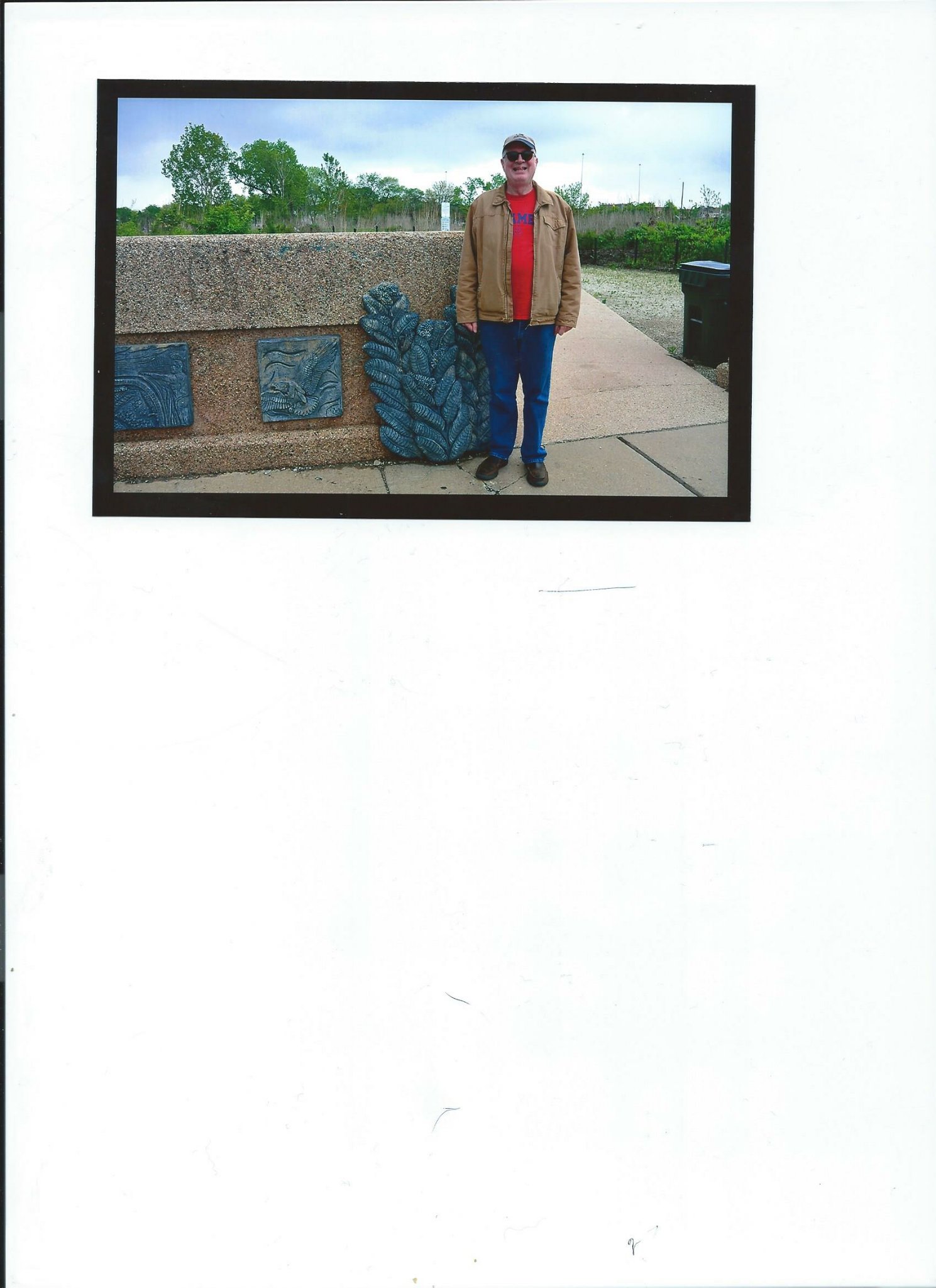
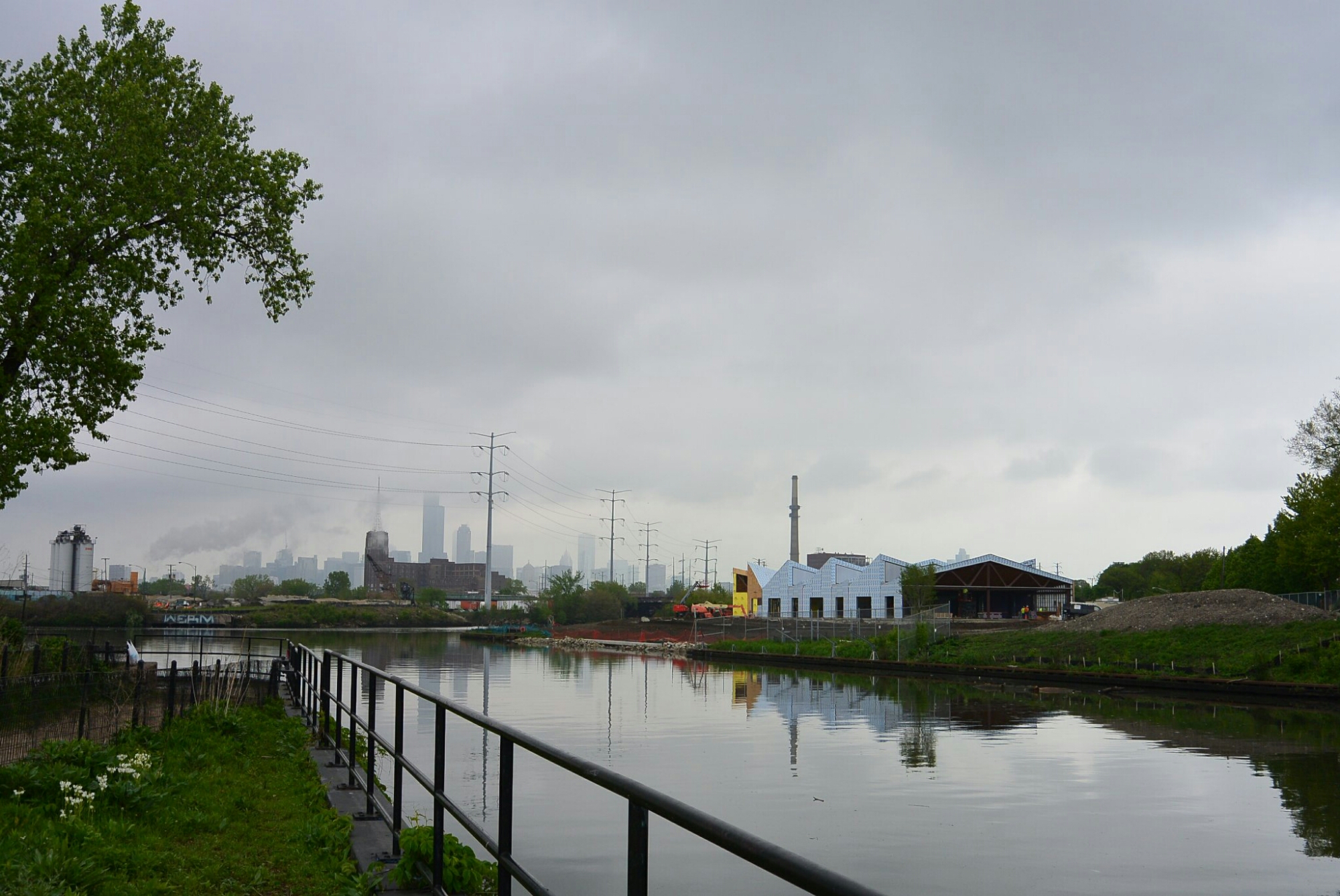
The park is roughly triangular in shape. One side borders Ashland Ave. The other side borders Bubbly Creek and the south branch of the Chicago River. There is a path way along the river and creek. There is a sunken walkway from the park entrance to the water. This is meant to simulate traveling down the canal. On the walls of the walkway are concrete freizes depicting historical events of the canal and canal corridor. These were designed by students supervised by Chicago artist Philip Schuster.
[

image

Architect plans for the park

image

Sunken walkway. Note the concrete friezes along the wall

image

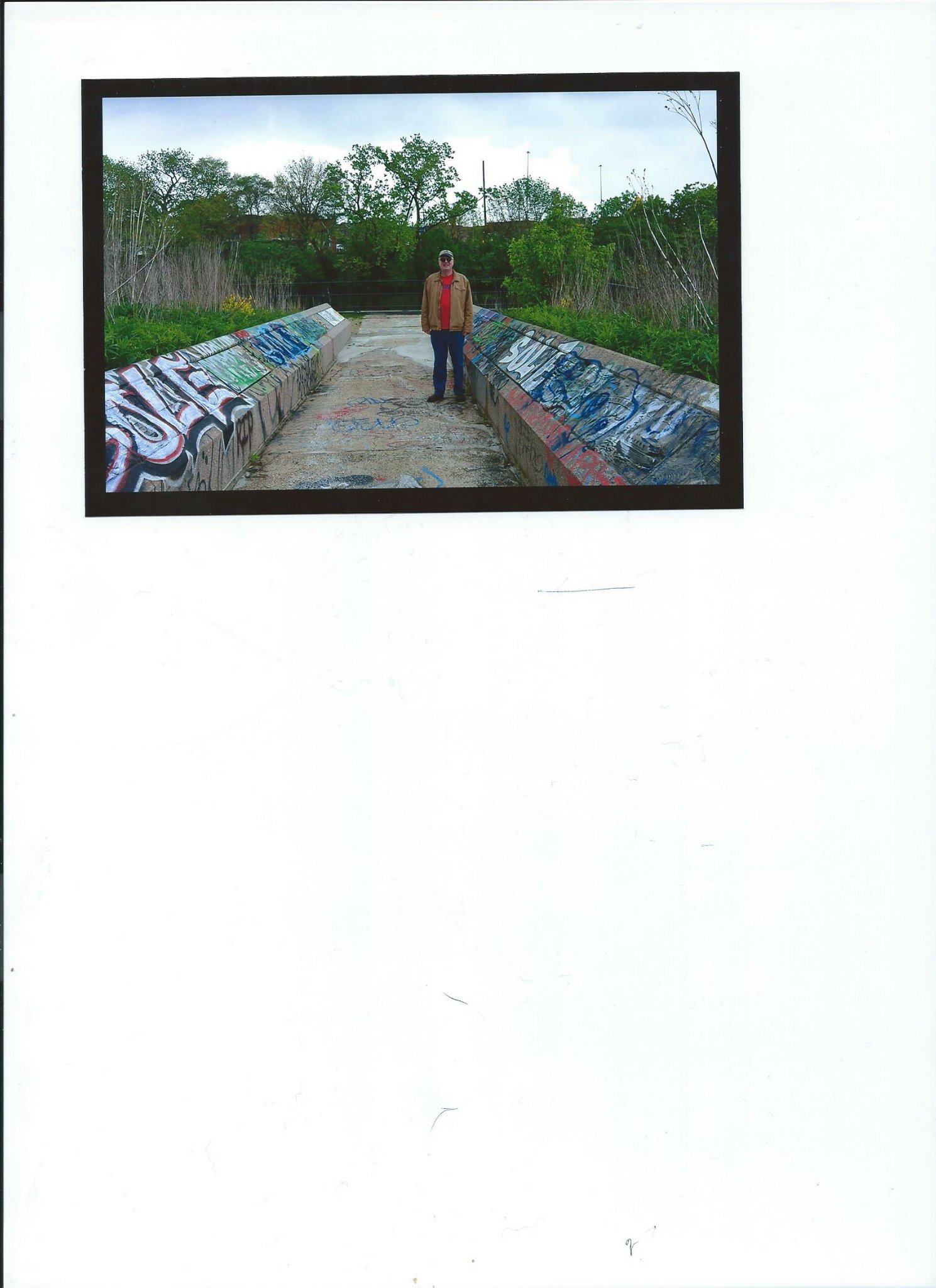
Sunken walkway. Note the graffiti damaged friezes

image

Sunken walkway


image

Concert frieze beaver

image

Concert Frieze Canal workers


image

Concrete Frieze. Canal and Railroad

image

Concrete Frieze

image

Concrete Frieze. Canal Digger

image

Concrete Frieze. Damaged by graffiti

image

Concrete Frieze Chicago to Peru

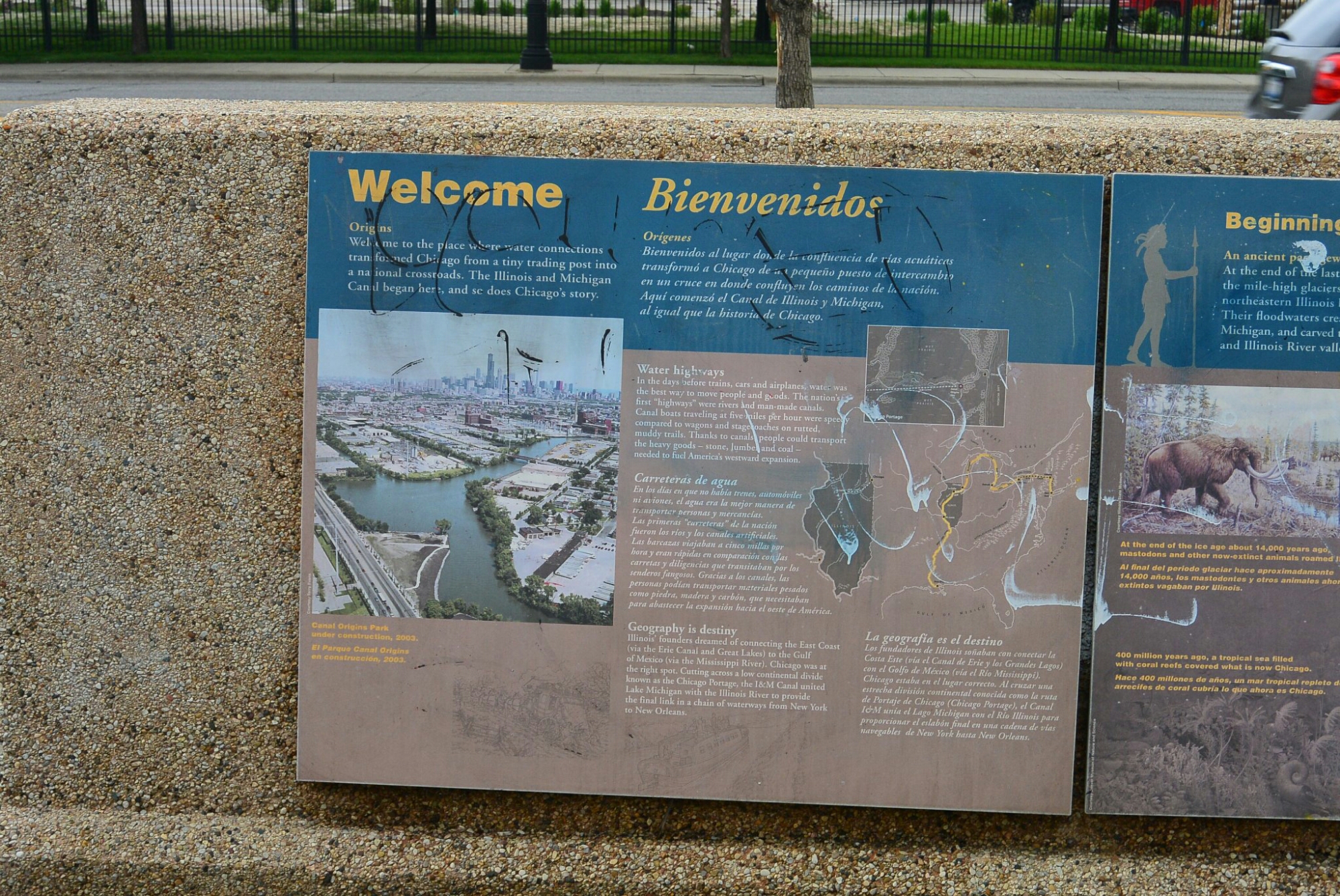
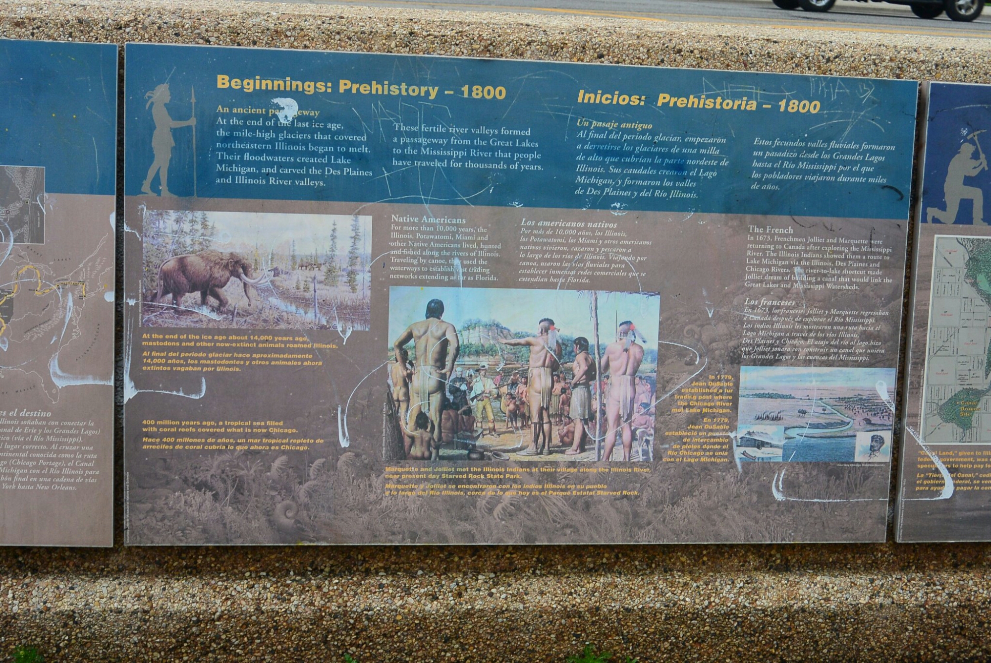
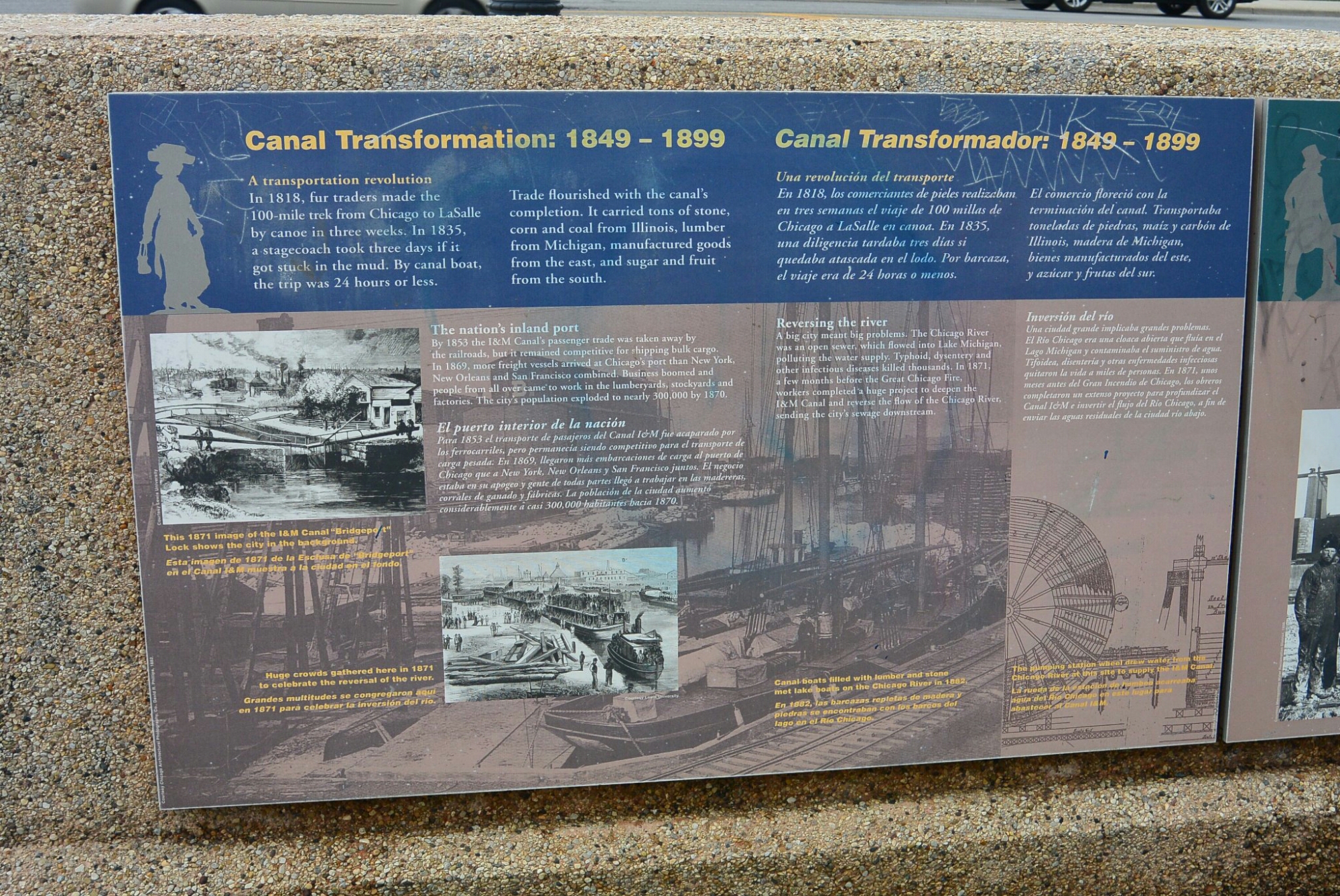
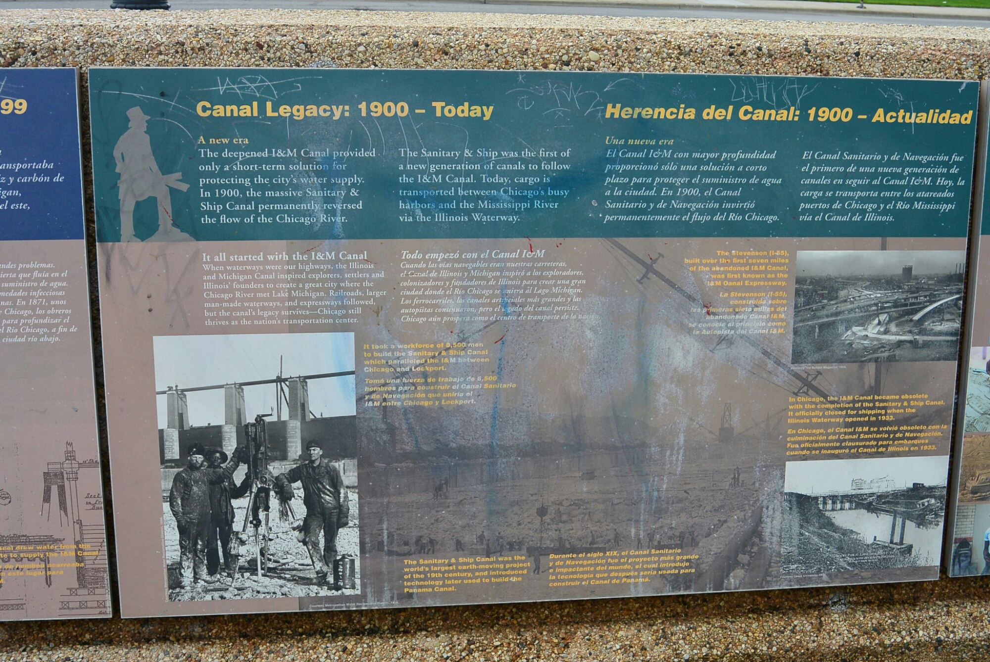
In the front of the park, there are many photos and diagrams depicting the history of the area and the park.

image

Presentation History

image

Explanation of the sunken walkway

image

Acknowledgement of Contrbuters


image

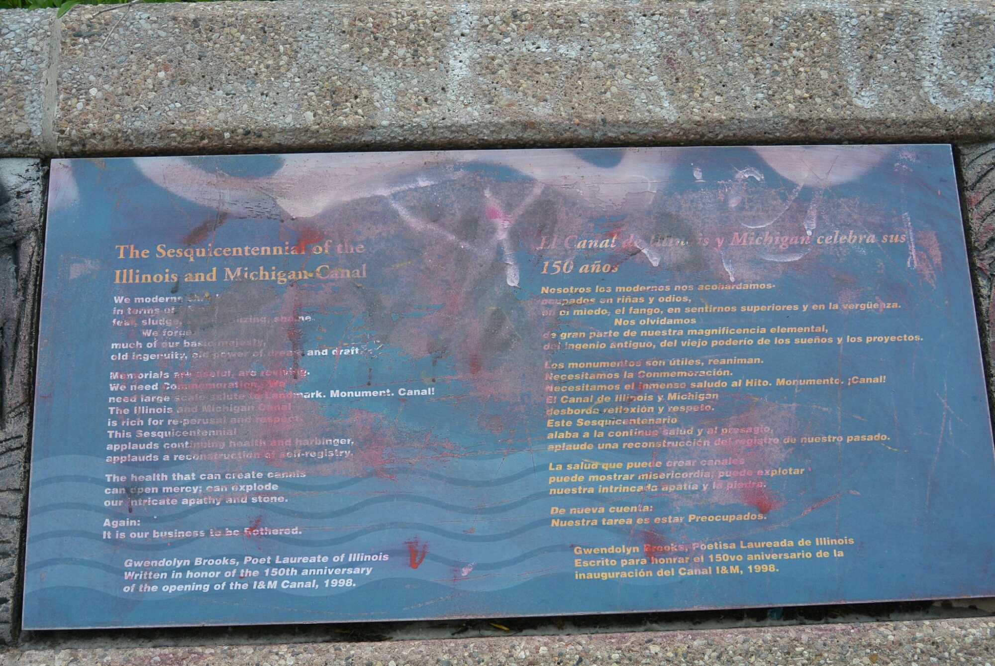
150 year anniversary canal

image

Pre history

image

Canal Transformatio

image

image

Front Wall Park

image

Front WallPark

image

Front Wall

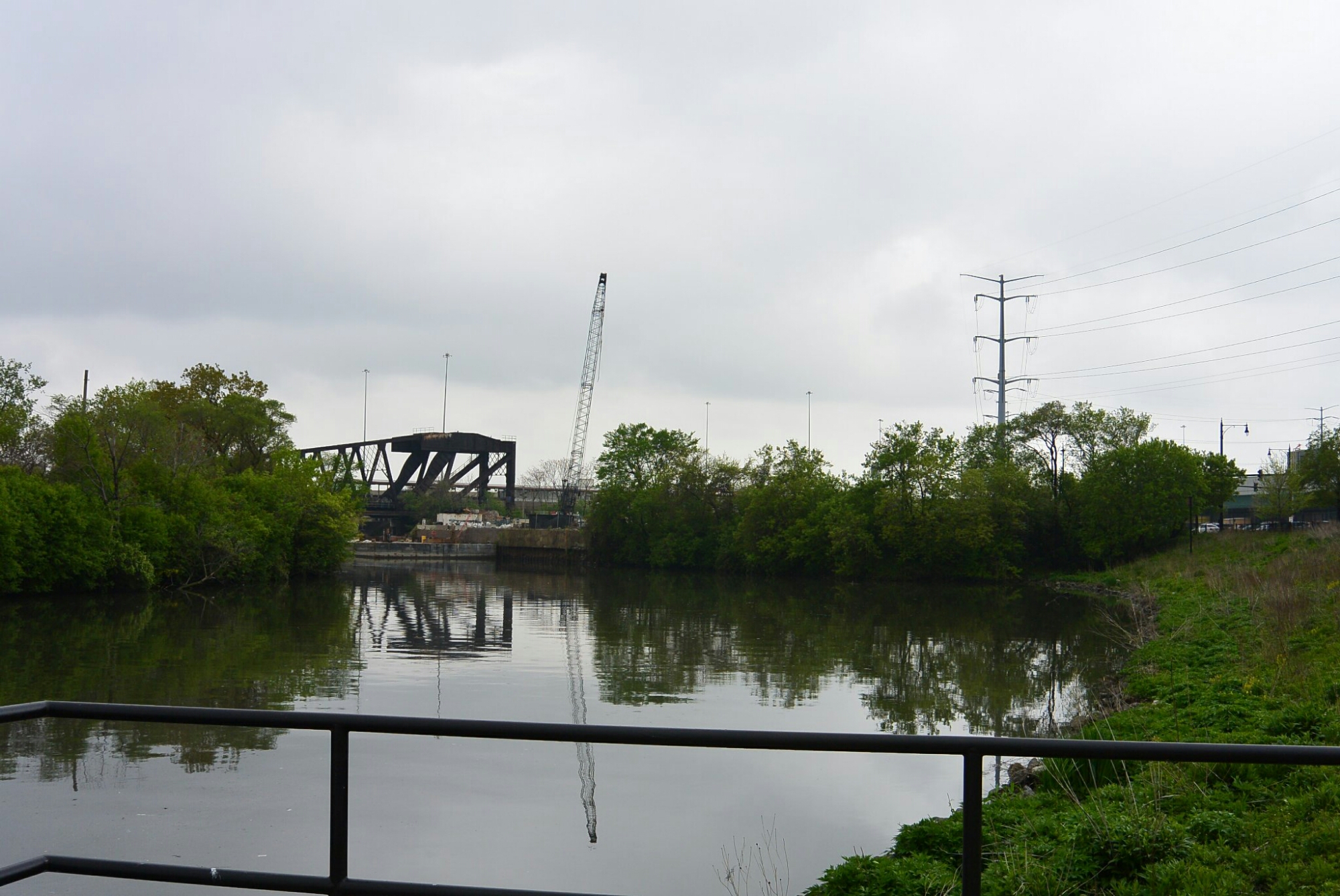
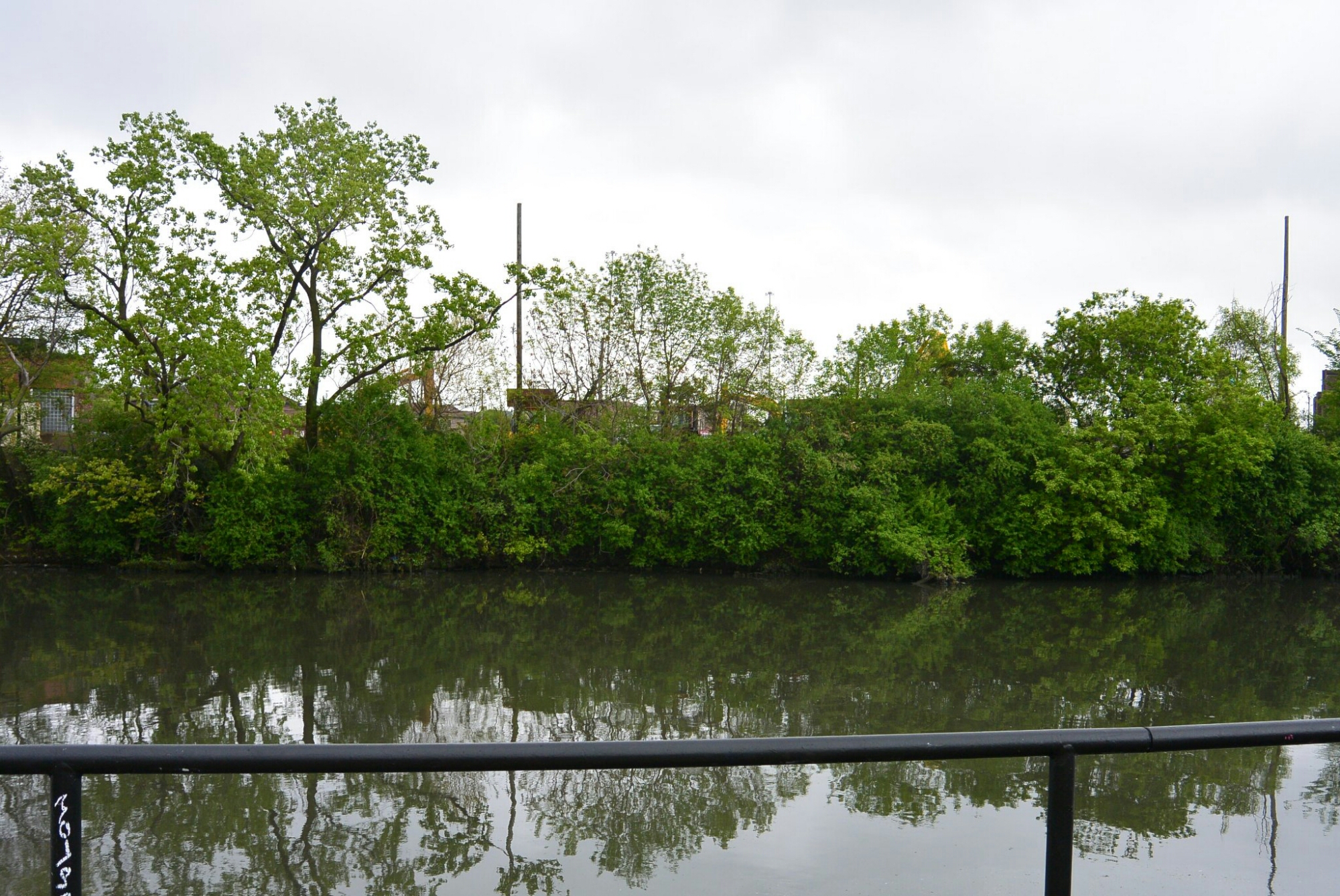
As mentioned previously, the park is bordered on the east by water including the Sanitary and Ship Canal, the south branch of the Chicago River, the canal turning basin, and the Bubbly Creek. The Creek received its name in the following manner. The waste from the Chicago Stock Yard was dumped into Bubbly Creek. The decaying of this garbage created a gas.

image

Water along east park

image

Water at the east side of the park

image

Water along the east side of the Park


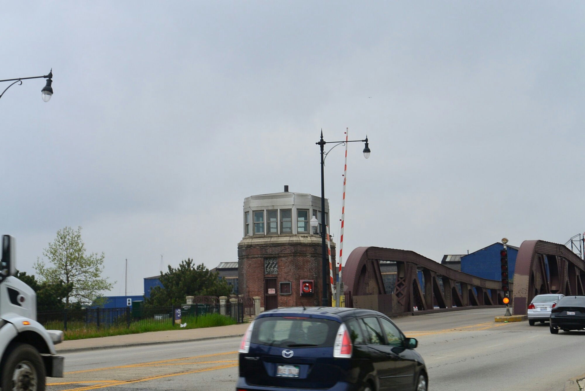
This park is located at 2701 South Ashland Avenue. West of the park is the former Sun Times Building. North of the park on Ashland is the bridge over the Sanitary and Ship Canal.
image[/captio

Bridge over Sanitary and Ship Canal

image

Bridge over the Sanitary and Ship Canal

image

My personal reflections. I applaud the efforts of the multiple agencies involved in the acquisition and development of this park. They have preserved a site of canal history.
It is disappointing that they have been unable to protect this area from the ravages of vandalism