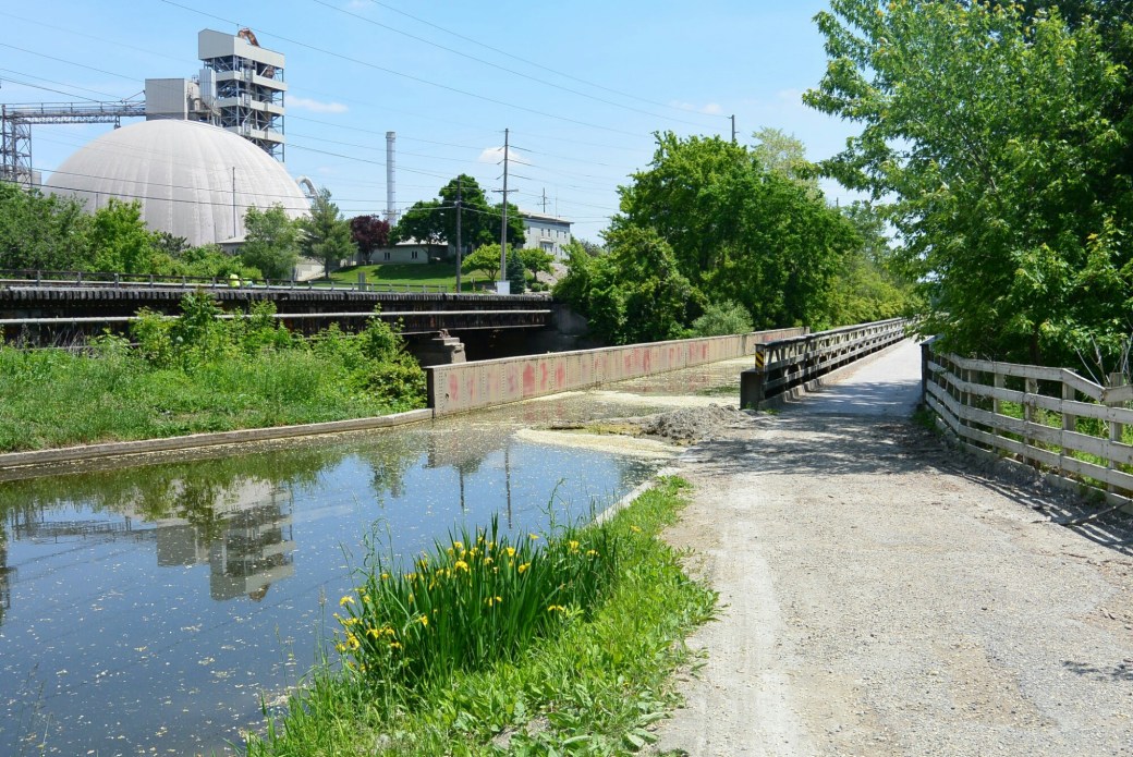
Aqueduct over the Little Vermillion River LaSalle
This is a view of the the aqueduct over the Little Vermillion River in LaSalle. Railroad tracks are seen on the left side. The Alpha Portland Cement Company is also seen on the left.
Aqueduct over the Little Vermillion River LaSalle
This is a view of the the aqueduct over the Little Vermillion River in LaSalle. Railroad tracks are seen on the left side. The Alpha Portland Cement Company is also seen on the left.
It is difficult to describe the geography of the I and M canal as it winds its way through Joliet. The reason for this is the history of the area. The canal was completed between 1836 to 1848. Until the 1890’s, it was very stable in appearance. However, in the 1890’s, it appearance was altered by the construction of the Chicago Sanitary and Ship Canal. A second alteration occurred with the development of the Illinois Deep waterway.

Possible remnants of Original Lock 5.

Remnant of old Lock5
Originally, as the Illinois Michigan Canal headed north and east towards the city of Joliet, it was adjacent to the DesPlaines River along its west bank. A dam (2) was built on the river near Jefferson Street. This created a widening called the lower basin. Just east of the dam, there was a guard lock on the canal at the site where the canal entered the river. The purpose of this lock was to prevent the river from backing up into the canal. The merged canal and river proceeded east to Jackson Street. At this location, there was a lock (5) and a dam. The dam created a second widening of the river called the upper basin. The dam also provided hydroelectric power for Economy Light and Power. The merged canal and river proceeded north and east of this area until the canal eventually entered its separate channel on itsway towards Lockport. There was apparently a guard lock at this site.

Dam 2 DesPlaines River
With the creation and the extension of the Chicago Sanitary and Ship Canal, there were multiple changes. The Jackson Street dam on the river was replaced with an new one that was 2 feet higher. Lock 5 was rebuilt and raised 2 feet in height. This new lock was in operation by 1899. There was a bypass tunnel from this lock to supply water to the canal extending from north of the dam to Lock 6 at Channahon. A concrete wall was built separating the canal from the river from Jefferson Street probably to north of the Ruby Street Bridge. This wall eliminated the need for a guard lock at the former confluence of the canal and the river. This was taken down in the late 1890’s. Finally, the Jefferson Street dam was taken down.

Lock Guard Removal
In 1908, the Sanitary and Ship Canal was extended two miles south. In this region, there was a new power house. A dam and lock was built at this site. The lock was 22 feet in width and 130 feet long. The maximum lift of this lock was 41 feet. The lock was in service for only several years. This improvement was to replace the I and M Canal in Lockport and Locks 1-4.
In 1933, the Illinois Waterway opened on the Illinois River downstream from Lockport. Several new features were constructed. A new lock was built at the Lockport power house dam east of the original lock. A large dam and lock were constructed at Brandon Road. As a result of this, the I and M canal was flooded back through Joliet. The tow path and dividing wall were submerged. This also created a navigation pool extending back to the Lockport Dam. The dam and lock 5 at Jackson street were eliminated. Near the Brandon Road dam, a new lock (probably 5) was constructed for the I and M canal. This connects the pool covering the original canal upstream to the remainining canal downstream. The upstream side of this lock is covered by a concrete wall. From personal experience, I can say that access to this area is restricted by the army corps of engineers.
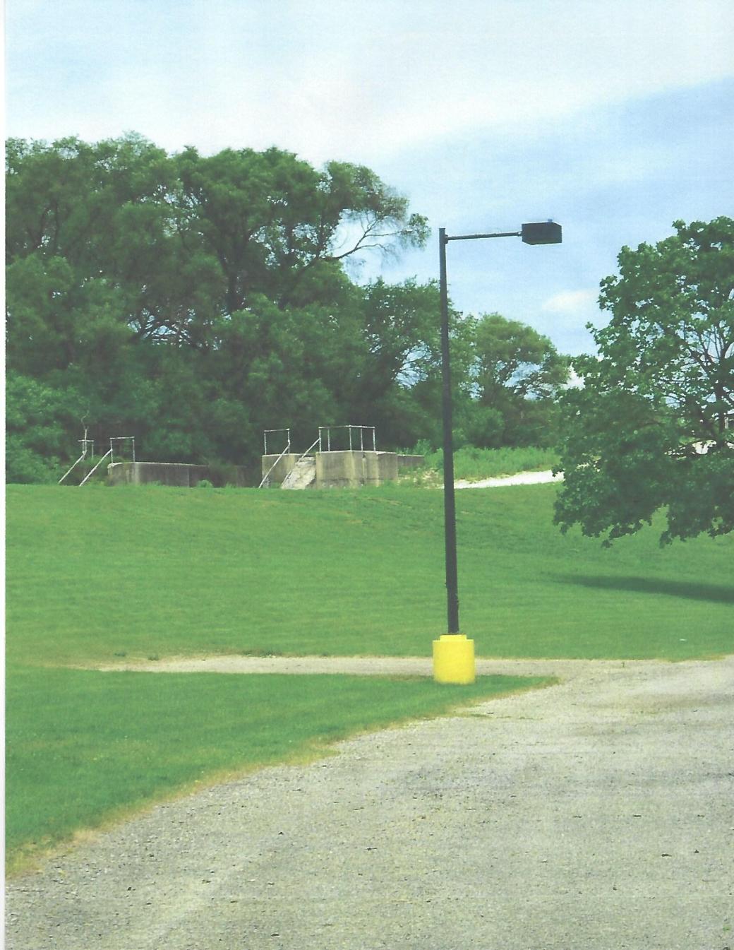
Rebuilt Lock 5 near Dresden Road
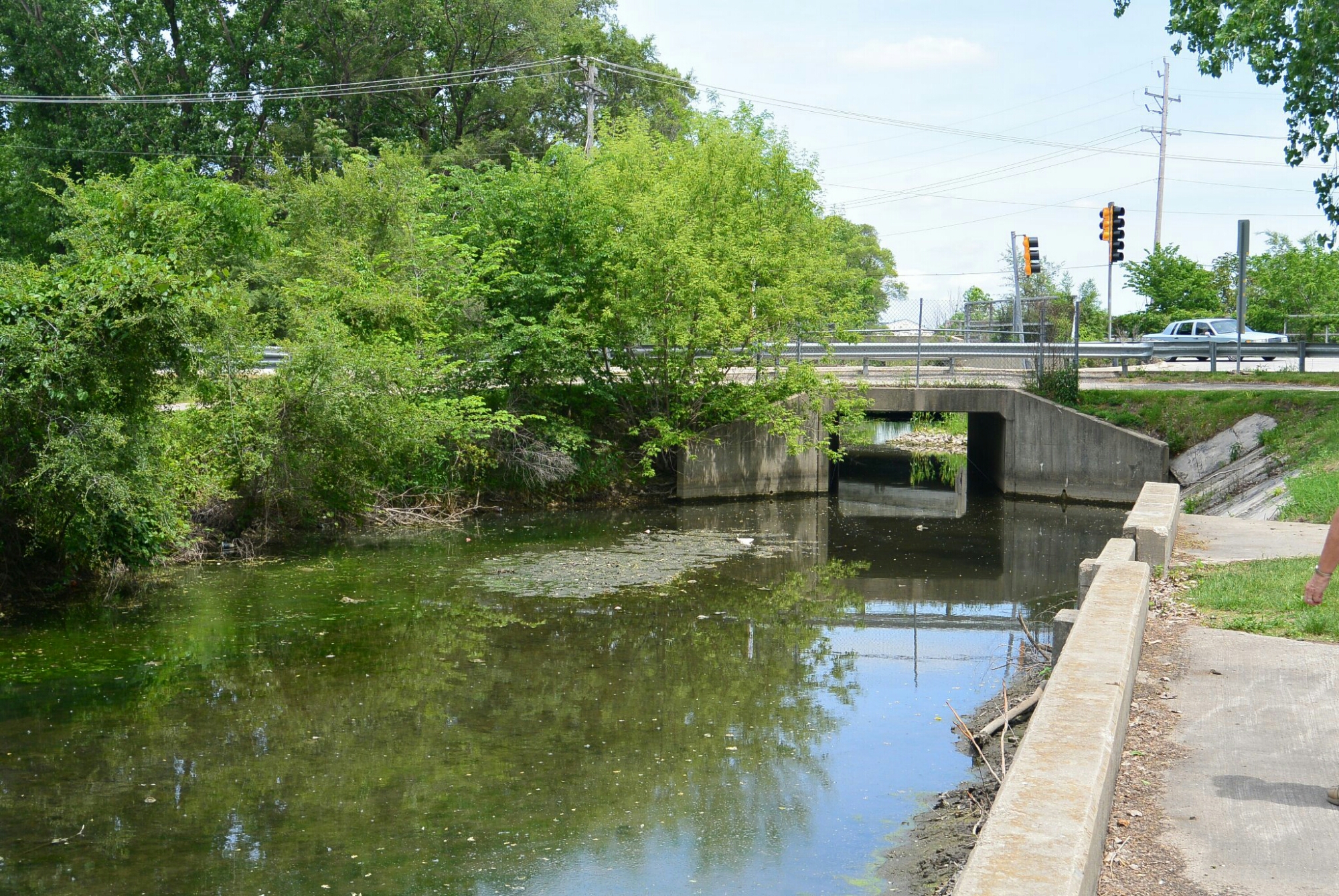
I and M Canal West of rebuilt Lock5
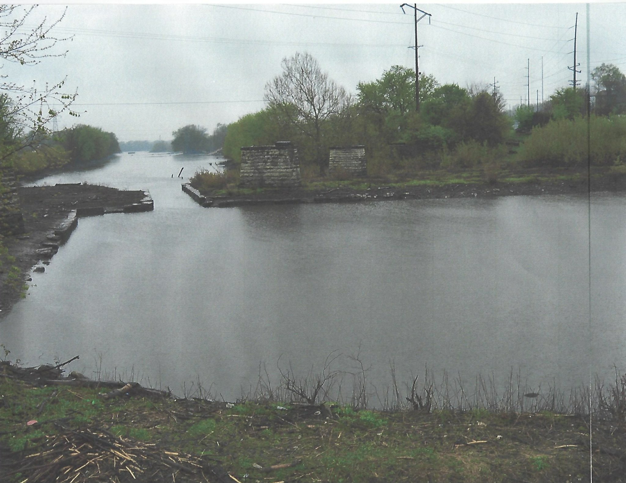
The I and M Canal was approximately 95 miles from the south branch of the Chicago River to the Illinois River in LaSalle, Illinois. In the picture above, the proximal waterway was the canal boat basin. It was at this site that the boats were unloaded to be reloaded in steamboats. These were located in the distal waterway which was known as the stream boat basin. These boats then traveled down the Illinois and Missippi Rivers.
The steam boats that arrived in the basin were unloaded and their cargo was reloaded in canal boats that traveled east down the canal.
The narrowed area on the image represents the site of Lock 15. This was the last lock on the canal.
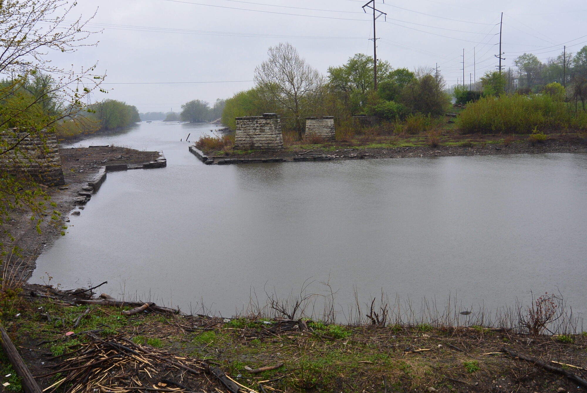
This photo provides a more complete view of the canal boat basin. Also seen is Lock 15. The limestone pillars were from a railroad bridge of the CBQ RR.
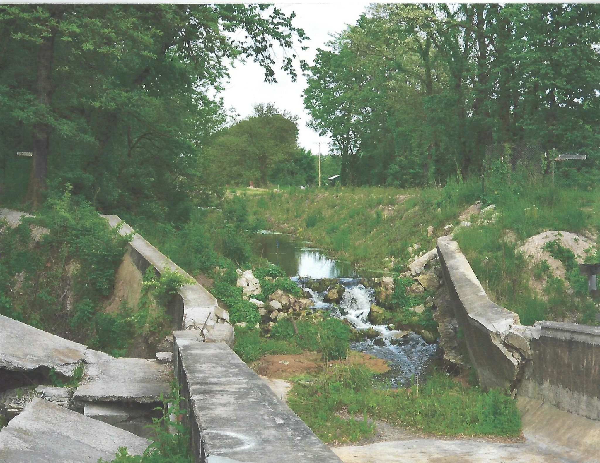
This is a view of the destroyed Nettle Creek Aqueduct. The aqueduct bridges Nettle Creek in Morris. Specifically it is located in Gebhard Woods State Park. It was destroyed as a result of a flood in April of 2013.
Contractors working on this project include: Nettlebrok, Pierce, Armstrong.
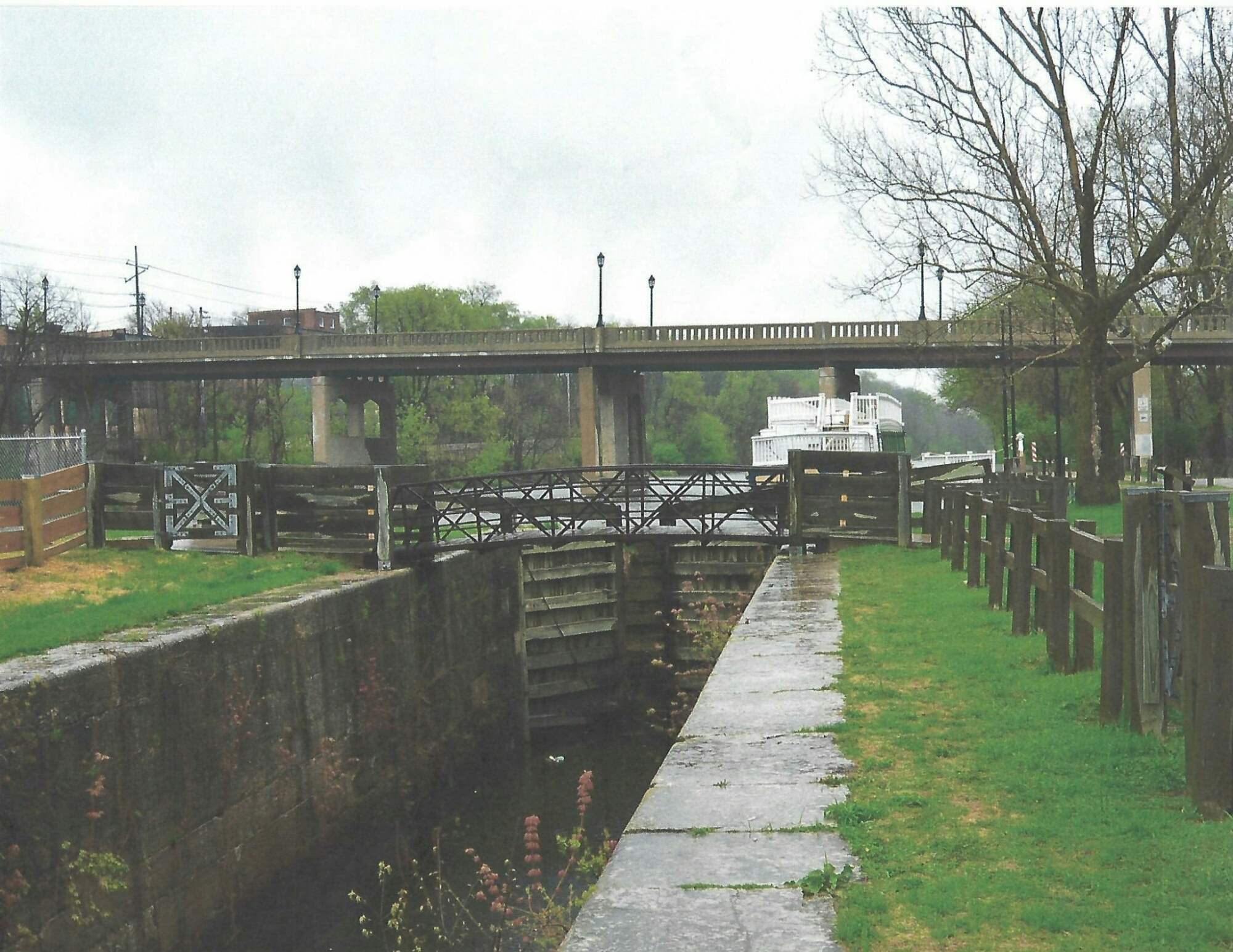
This a photo of the restored Lock 14. A replica of a packet boat is seen beyond the lock.
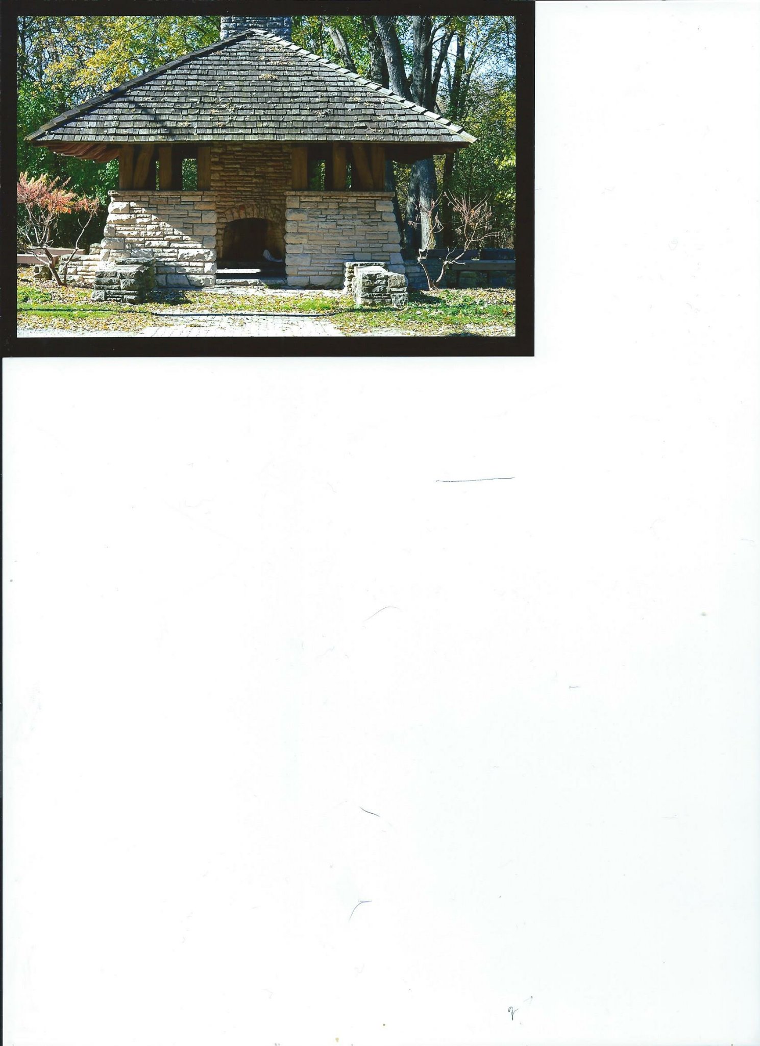
CCC shelter in Lockport, Illinois. November, 2016

November, 2016
Dresden

Rutherford Inn Dresden
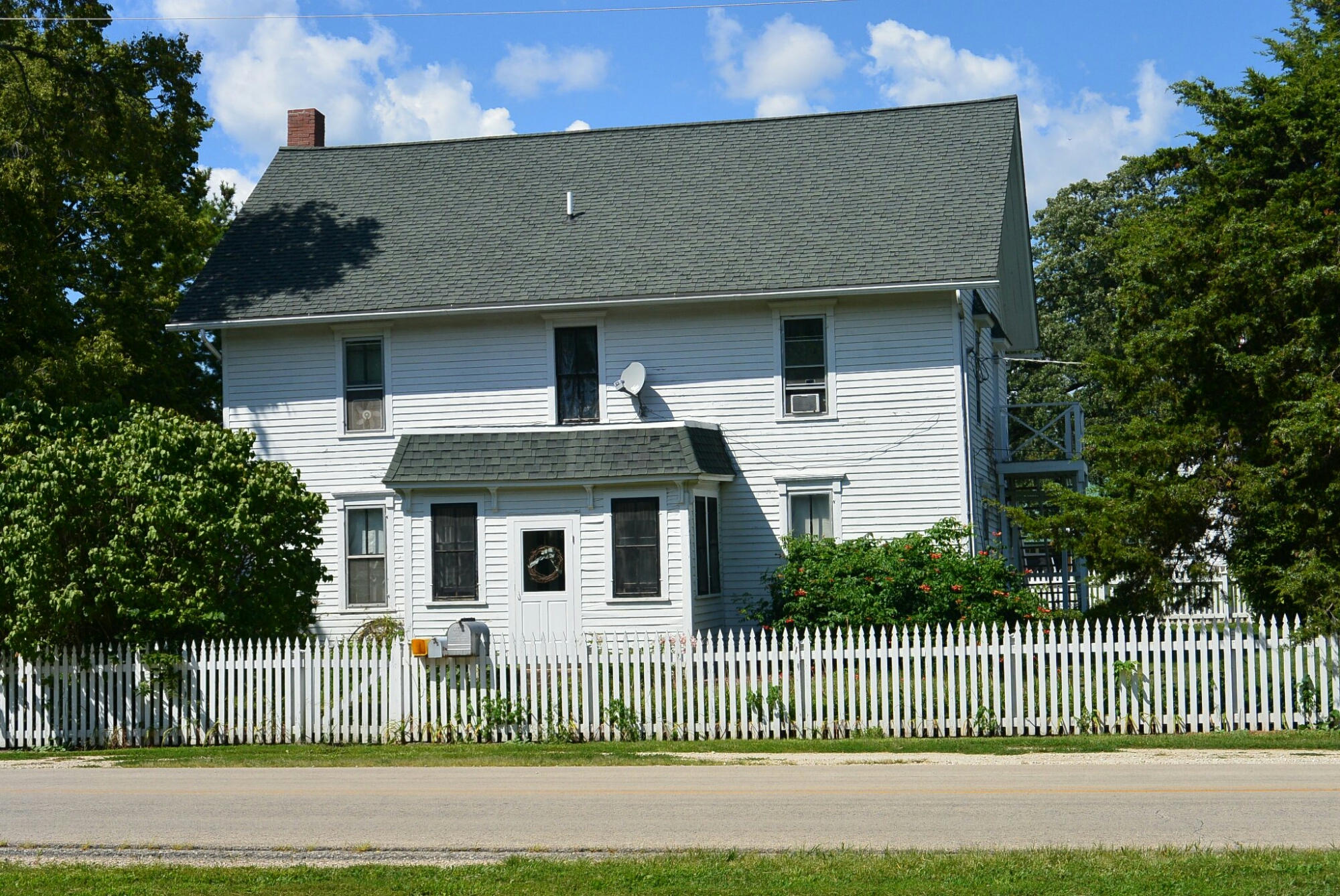
Rutherford Inn Dresden
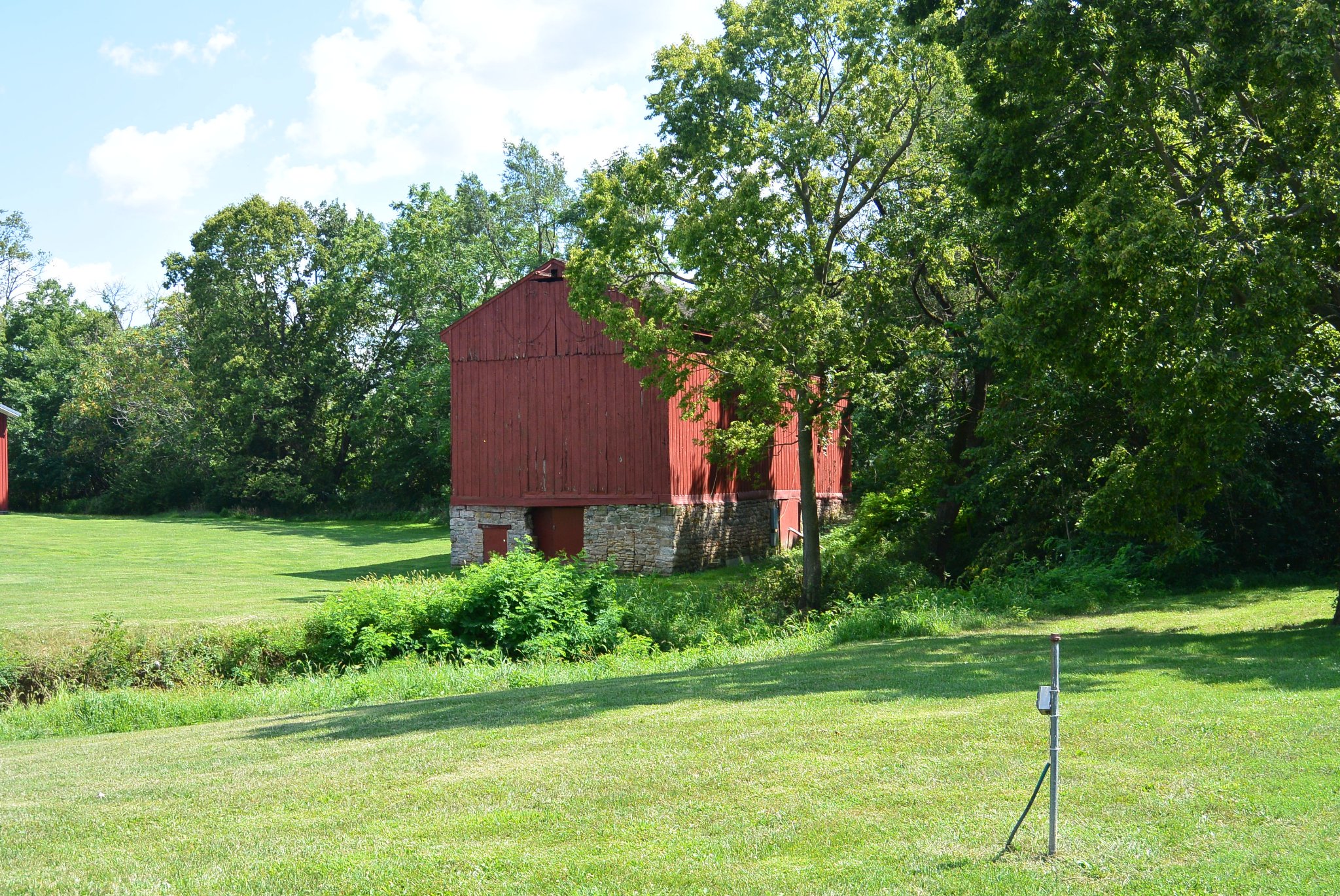
Dresden Mule Barn
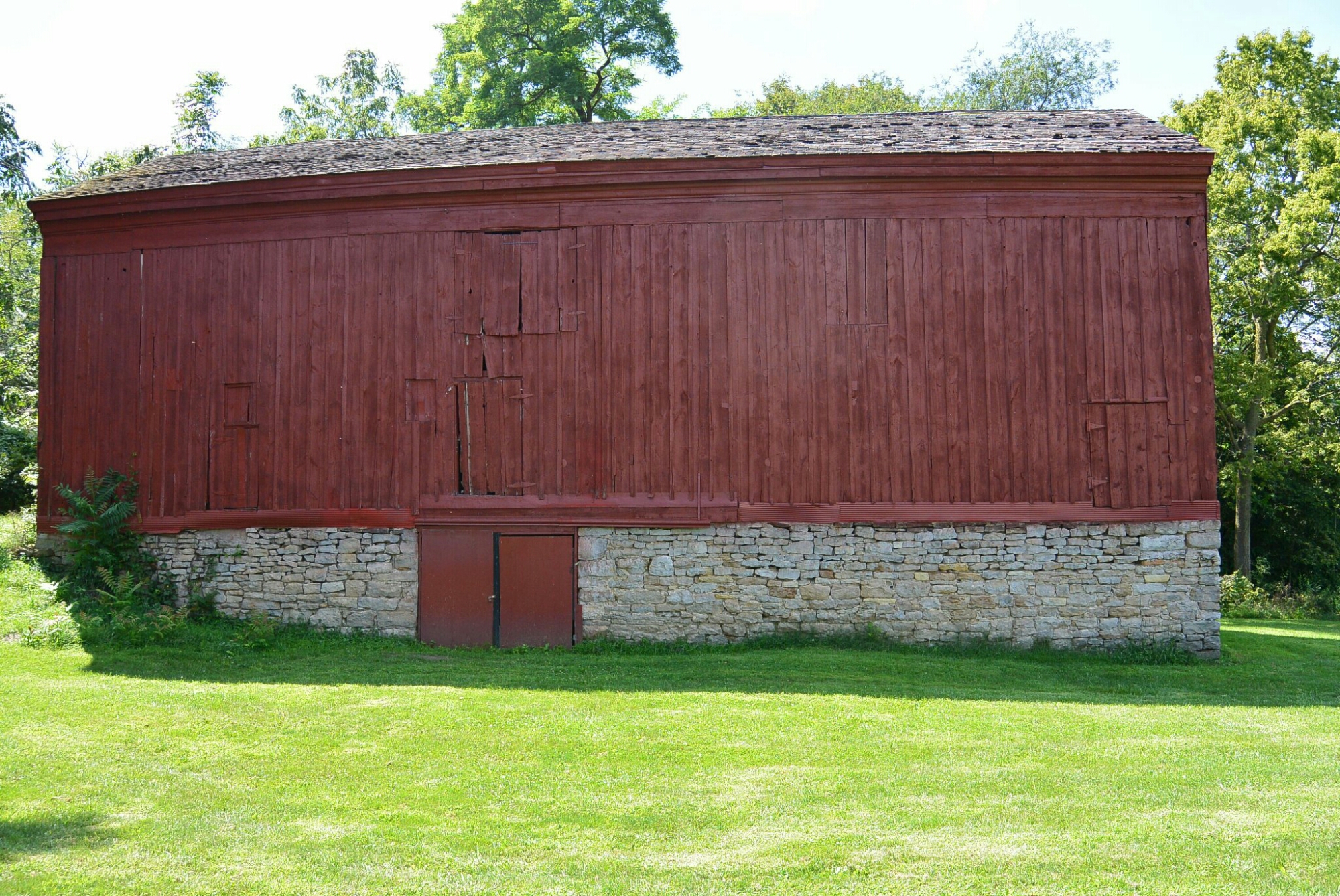
Dresden Mule Barn
Any history of the village of Dresden in Aux Sable Township would be incomplete without considering Salmon Rutherford. He came to the area in 1833. Shortly thereafter he purchased land in Section 26. He established a saw mill on his property. He built the areas first inn. It was called Salmon Rutherford Dresden Inn. This was located on an established road. The Frink and Walker Stage Company stopped at the inn to change horses. A post office was established here for the Dresden area. There was soon a second area inn called Peltier’s.
Rutherford also built a barn across the road from the inn. It was adjacent to the Illinois Michigan Canal. It was built in the 1830’s through the 1840’s. It was apparently built in stages to reflect its various uses. It was a grain storage facility, a store, and a mule barn for the canal.
Early in its history, the village of Dresden flourished. Canal workers and surveyors could purchase their supplies here. There was a Catholic Church and Cemetery–Saint Mary’s.
Rutherford had high hopes for the village of Dresden. The area was surveyed and platted in March of 1835. There were 63 blocks. However in 1858, the village began to decline. This occurred when the Rock Island Railroad was located in Minooka bypassing Dresden. No street, alley, or lot was ever opened up, used or improved. No structures were ever built on any lots or blocks of the plat. The plat was vacated in June of 1929.
Remaining structures of Dresden include the Rutherford barn, the inn, and Saint Mary’s Cemetery.

Kankakee
Most people are unaware that before Kankakee, Illinois became the large city in central part of the state, there was another area with the same name.
During the years of the construction of the I and M Canal, an area named Kankakee was platted by the commissioners. It was located off the DesPlaines River between its confluence with the Kankakee River and the area where the Kankakee Feeder crossed the DesPlaines River. This is the site of the current McKinley Woods. The area was promoted for settlement but it had no settlers. By 1850, the name was taken the current Kankakee.
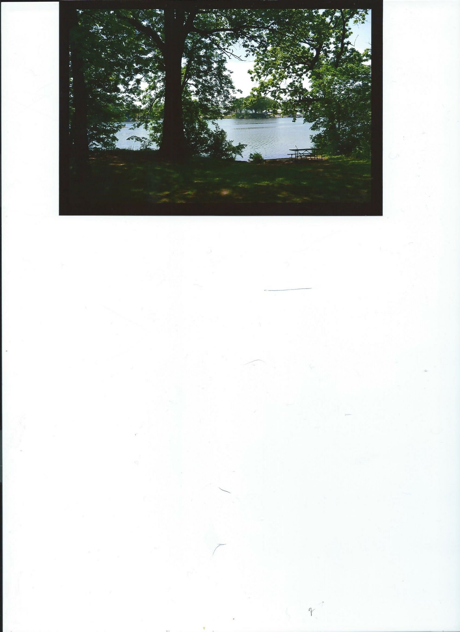
DesPlaines River near the site of the proposed town of Kankakee
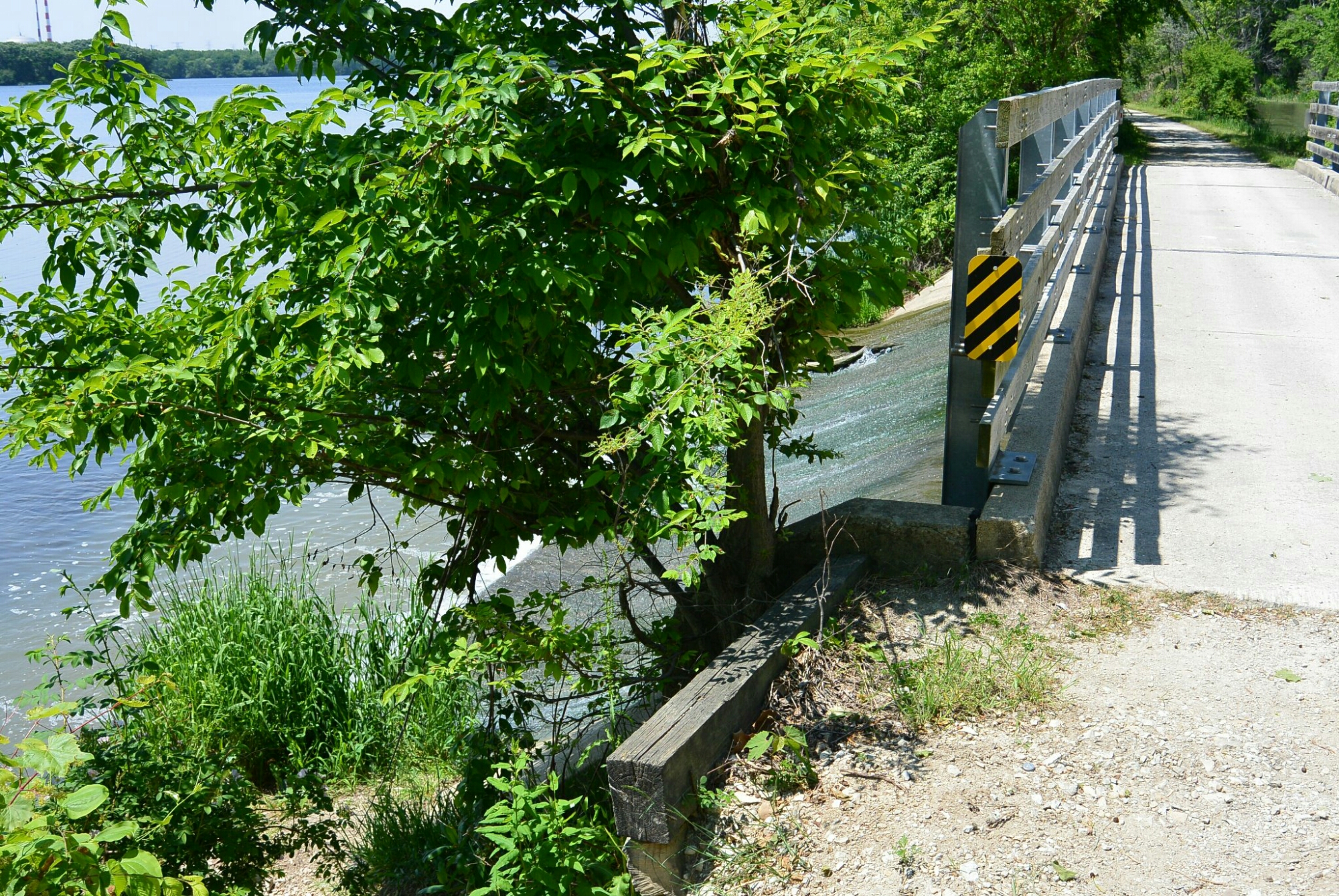
Proposed site of Kankakee
Rockwell
With the planning and construction of the Illinois Michigan Canal and the availability of cheap land, settlers from the Easter U.S. began migration to the area. One such individual that had a role in facilitating this migration was Did well Lathrop. . He arrived in the area near LaSalle, Illinois in 1835. He was an agent for land speculators John and Charles Rockwell of Norwich, Connecticut. His task was to select and purchase land for settlement He selected a half section adjacent to the Illinois River near the mouth of the Pecumsaugen Creek. He assumed the area would be good for development because the rumor was that it would be near the terminus of the I and M Canal. The IC Railroad crossing of the Illinois River was also nearby. He returned to Connecticut after completing the purchase.
In 1836,he returned with his family. He laid out the plat for the town of Rockwell. According to the text of the plat Rockwell “is very pleasantly situated and well supplied with good water, and limestone, and clay for bricks are abundant on the property.” The lot size was 50 x 132 feet.
. By 1838, Rockwell had two hundred residents. The town had two stores, a blacksmith shop, and multiple homes. . Two factors led to demise of the area. In 1838, it was struck by an epidemic of cholera that nearly wiped out the settlers. Eventually, the canal terminus was located west of the town in LaSalle Peru. Ultimately, the town disappeared like many other small settlement s throughout Illinois.

Recently, I was able to obtain new views of Lock 2.
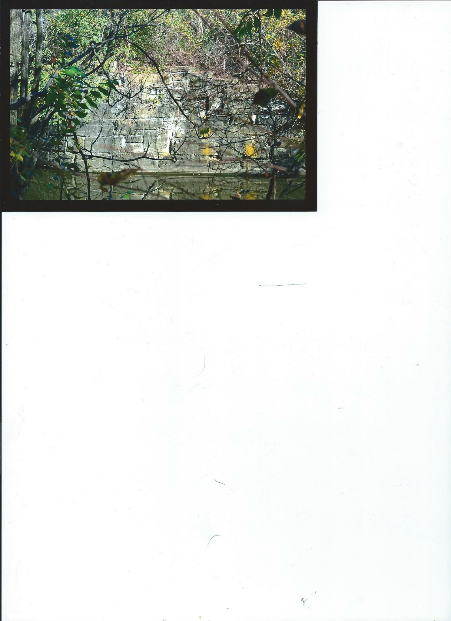
Lock2
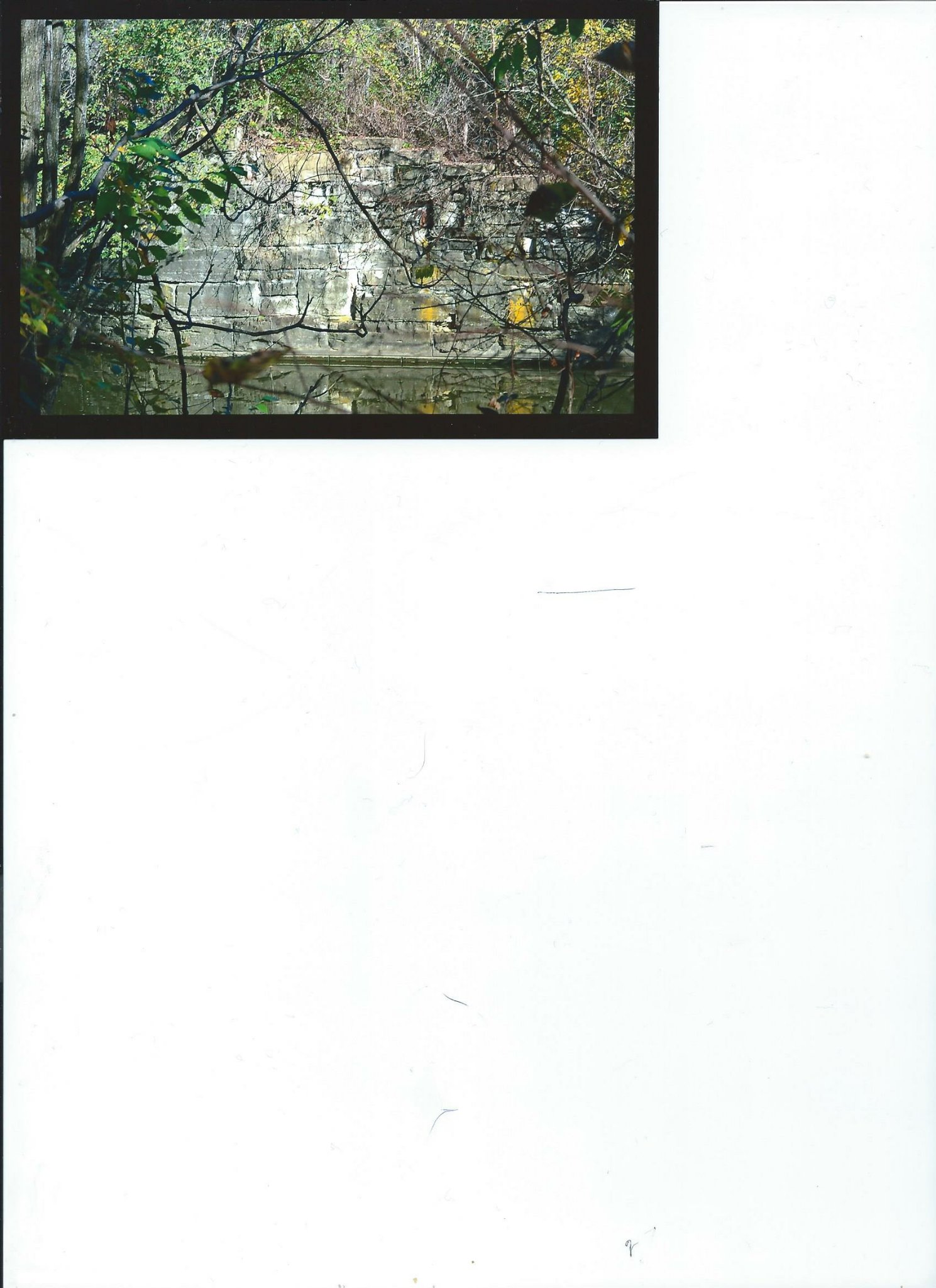
Lock 2
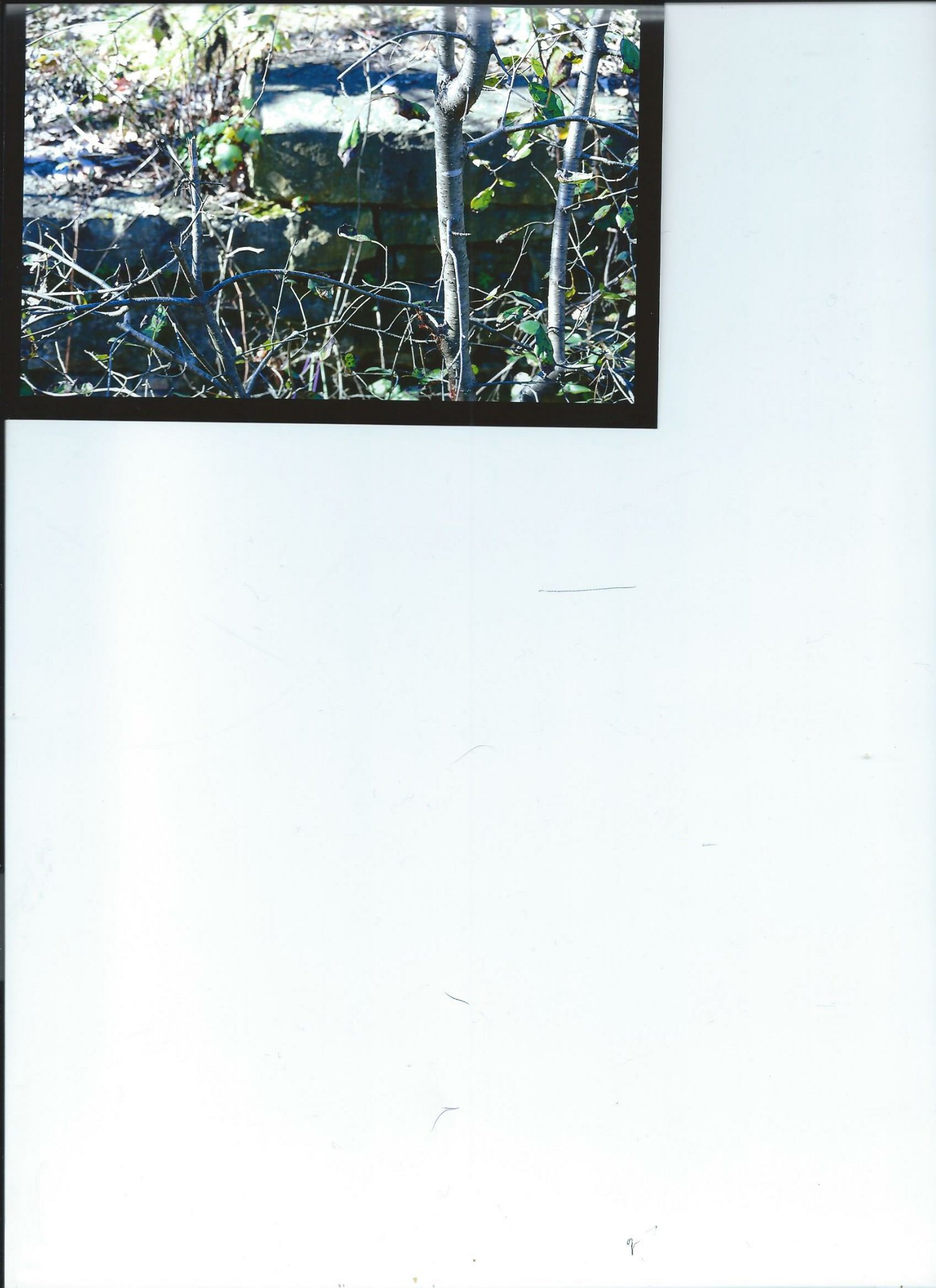
Lock 2
As can be seen, there is water in the lock. No lock gates are present. The area is difficult to visualize due to obscuring trees and bushes

Electric Line Train Station Dellwood Park

Old Photograph Dellwood Park
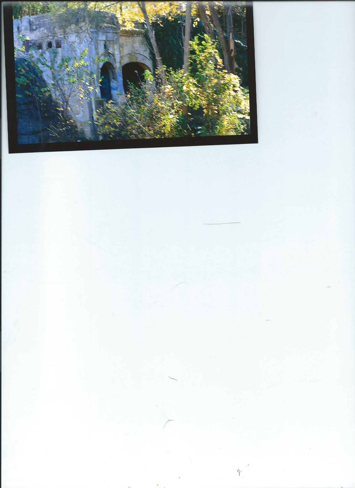
This last Wednesday, I was walking along the Illinois Michigan Canal in Lockport towards Joliet. As I walked south, I encountered a sign for Dellwood Park. Not knowing much about this area, I decided to investigate and do research. I have enclosed my photographs.
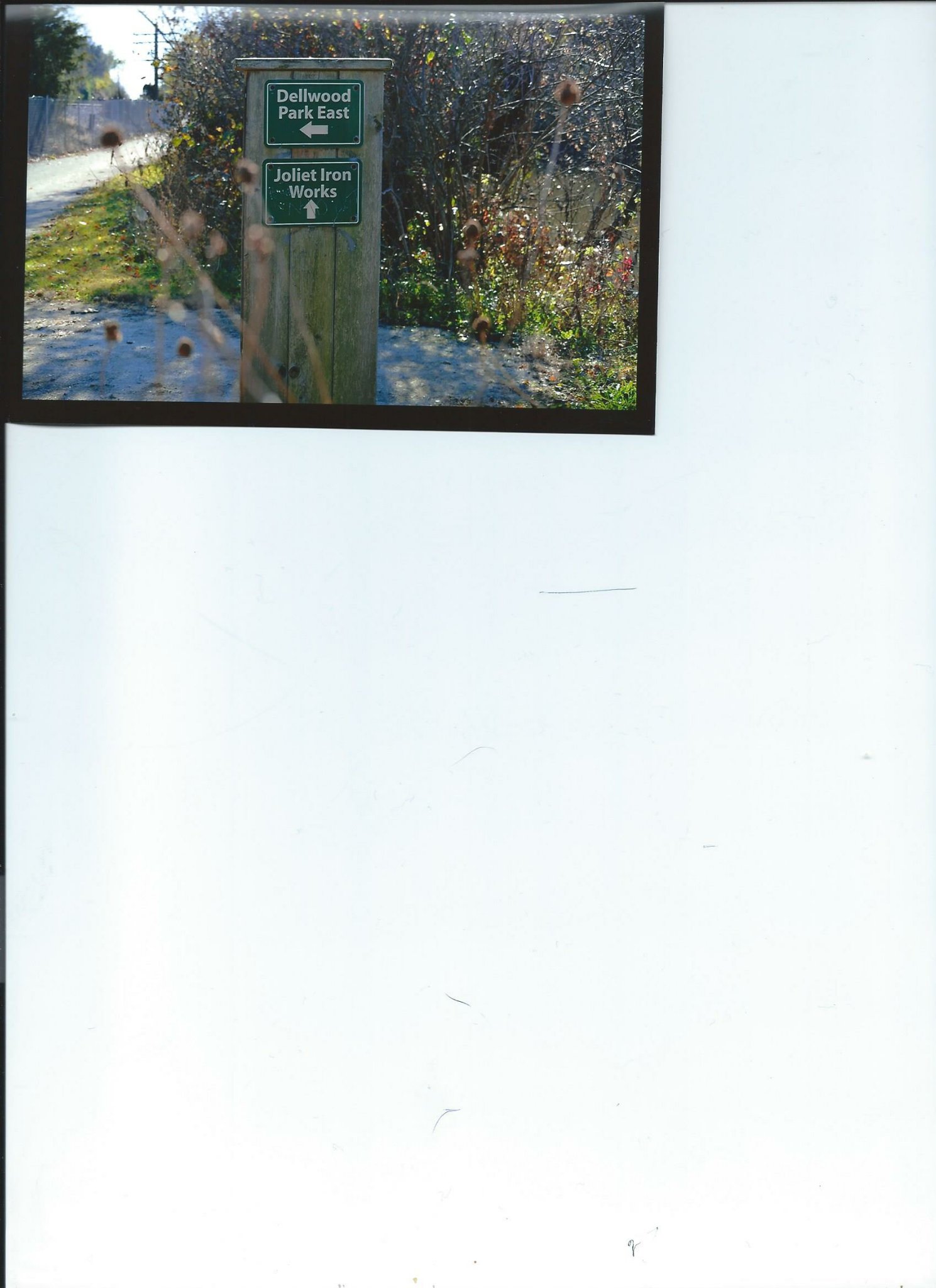
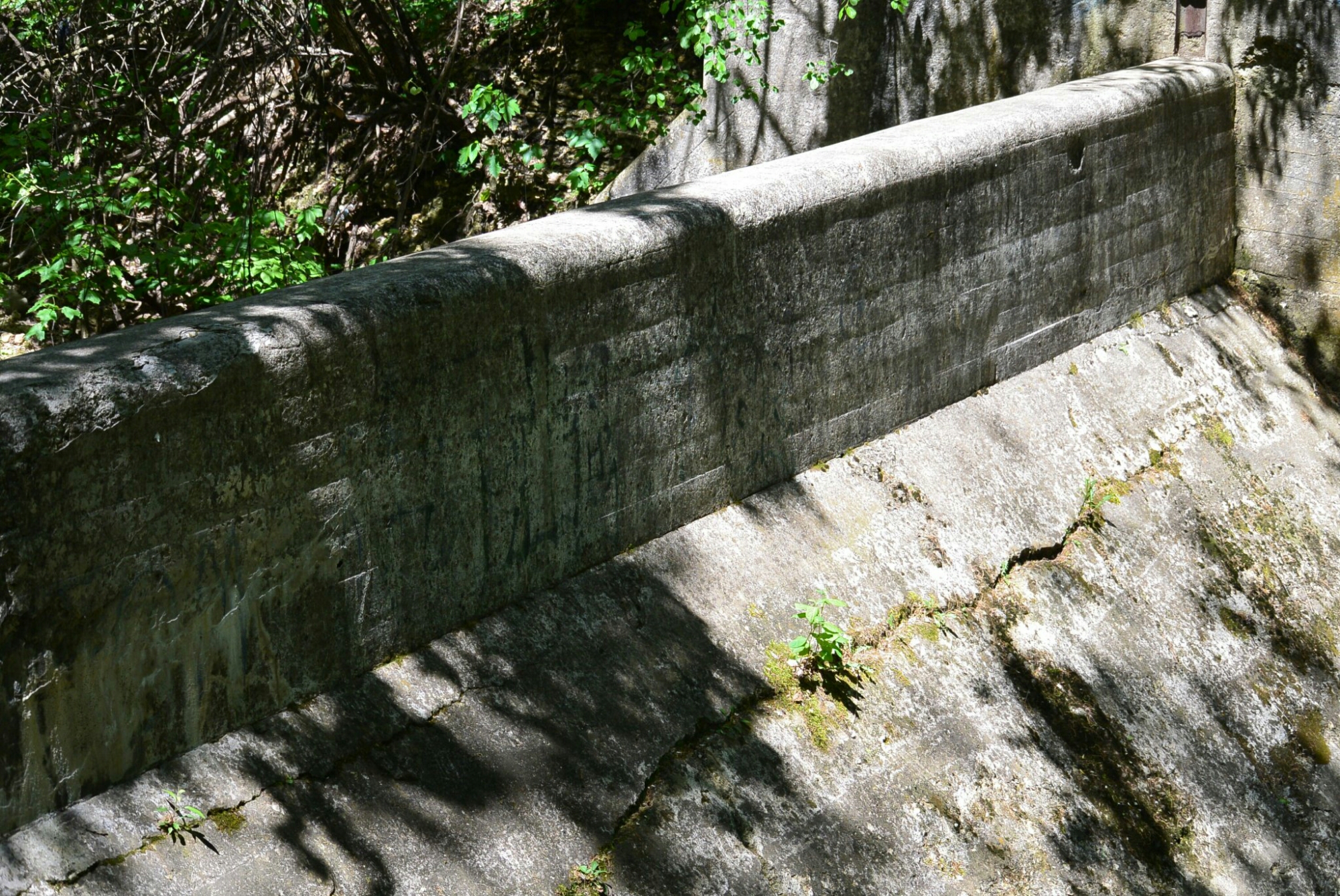
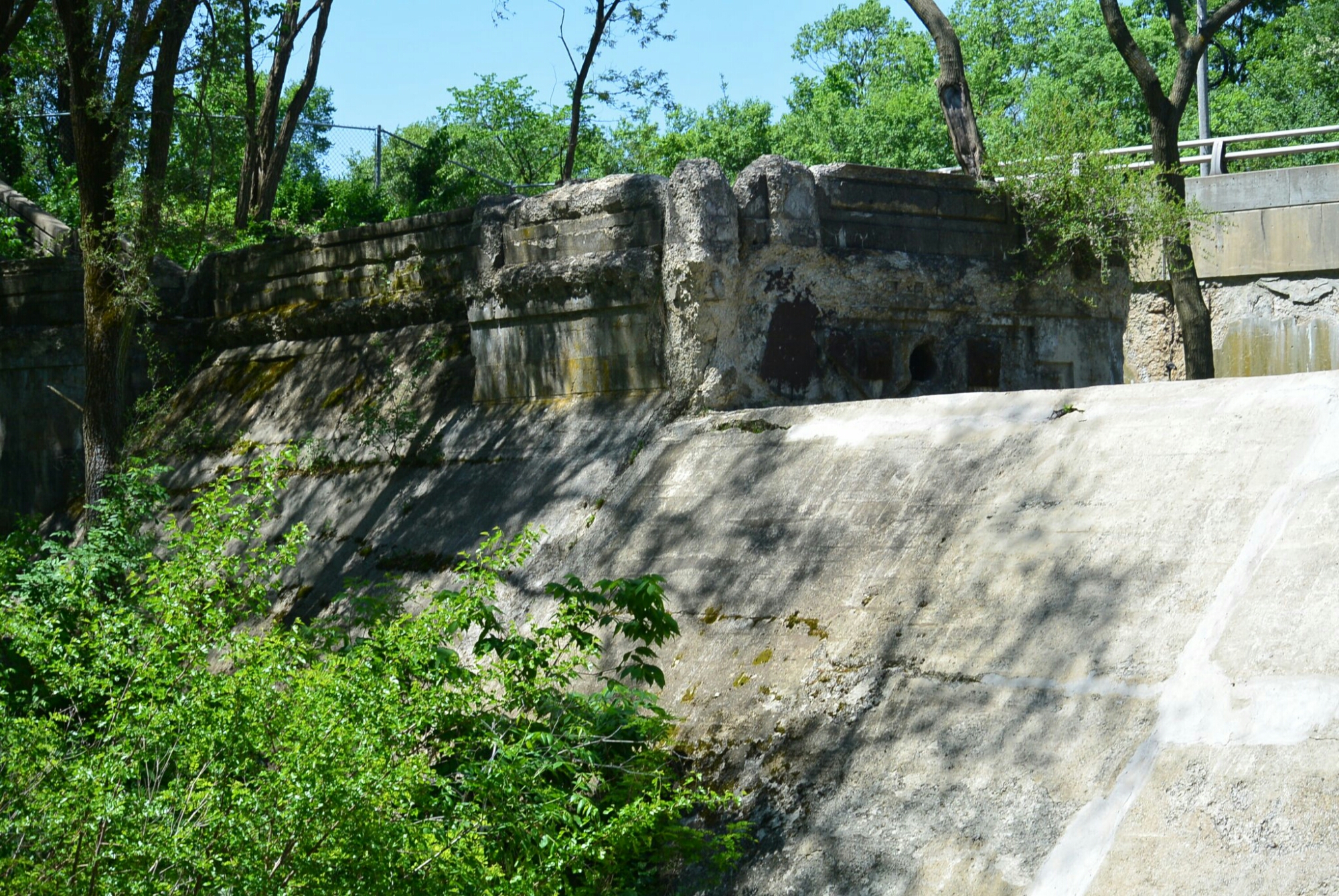
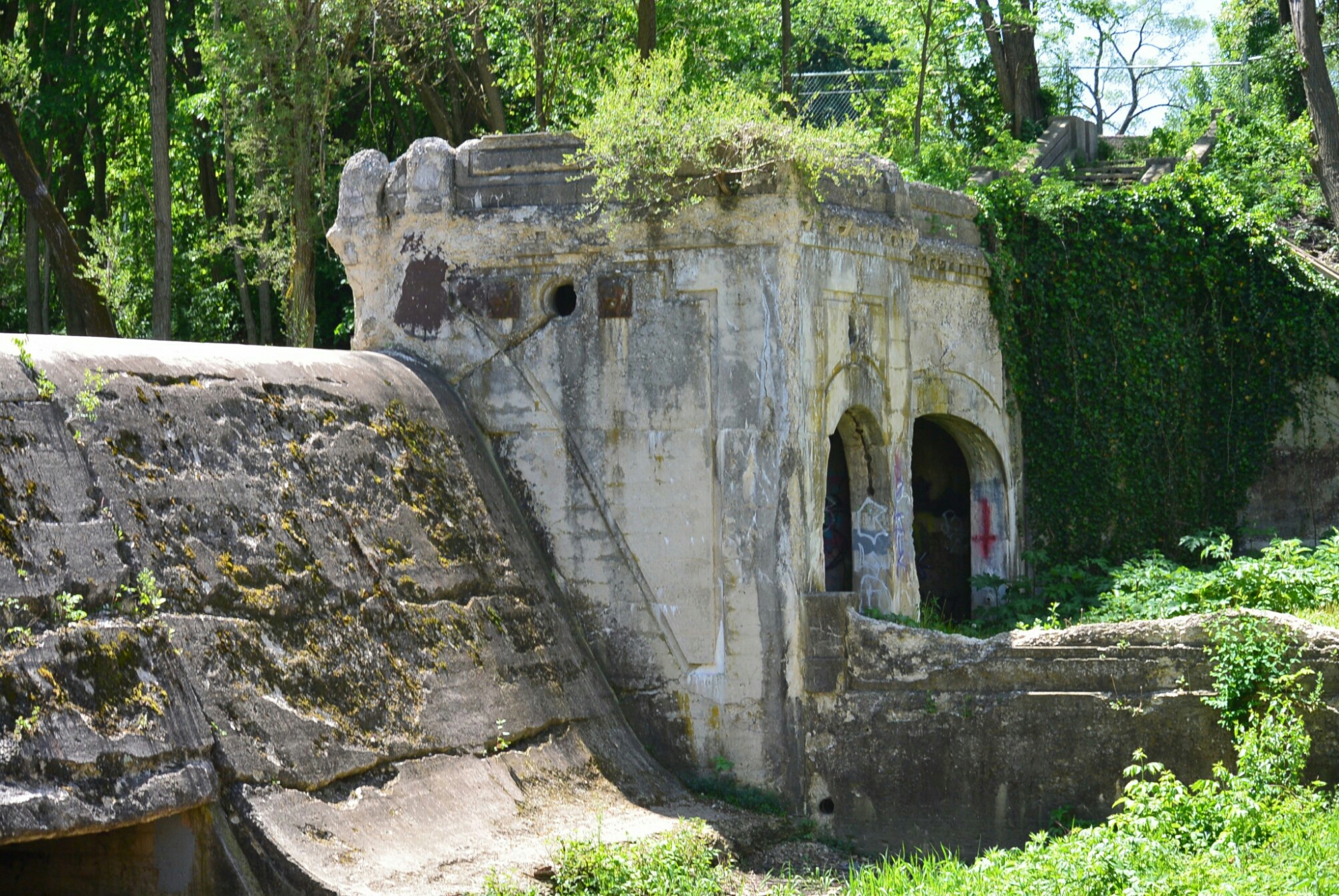
Dellwood Park was constructed in 1905 by the Chicago and Joliet Electric Railway Company. This was developed as a means to increase ridership. Construction costs were approximately $300,000. Included in the park were a man made lagoon (created by damming the Fraction Run Creek), waterfall, boat house, dance hall, grandstand for races, merry go round, open air theatre, and a restaurant.
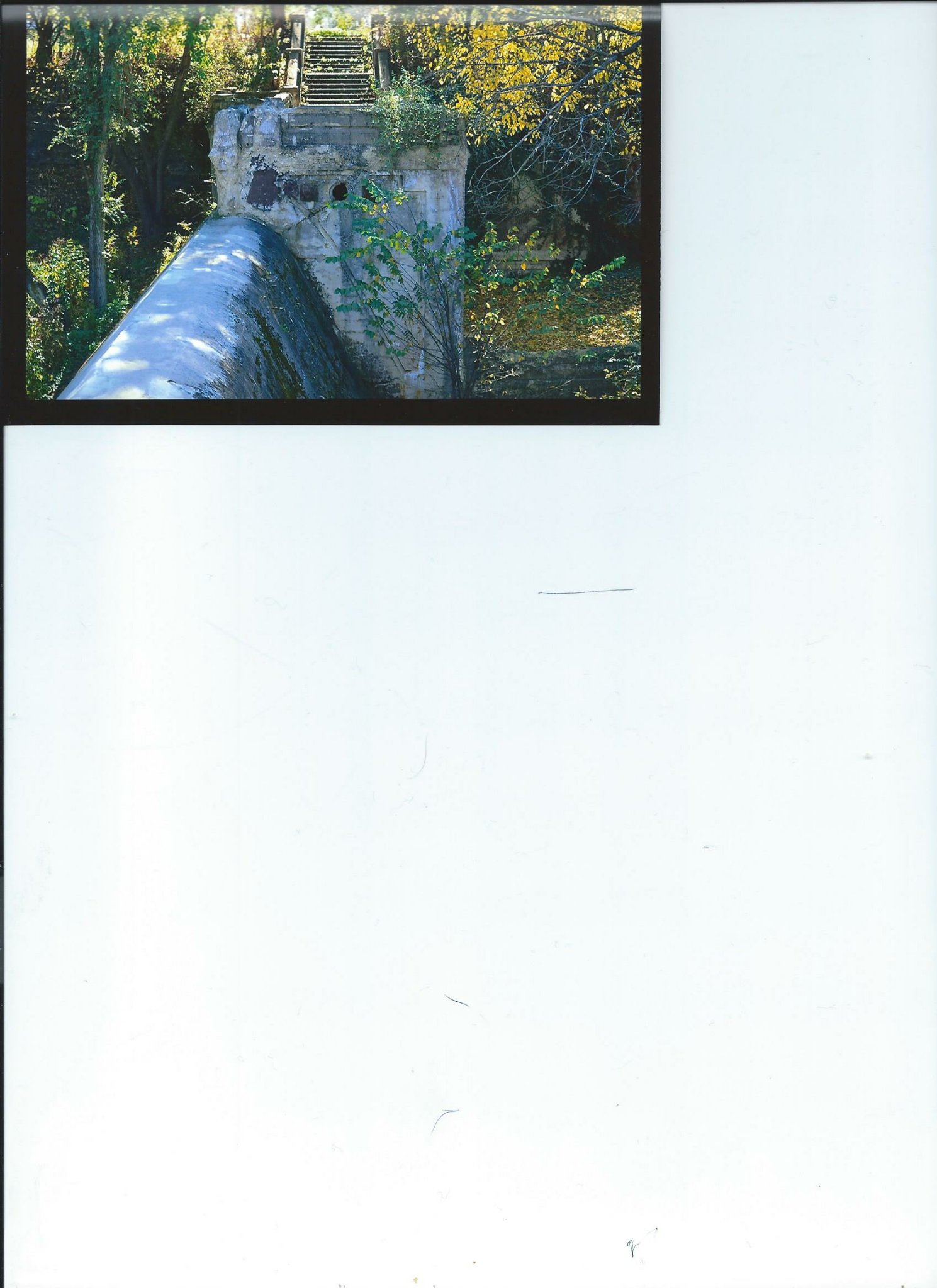
Portion of Dam Dellwood Park
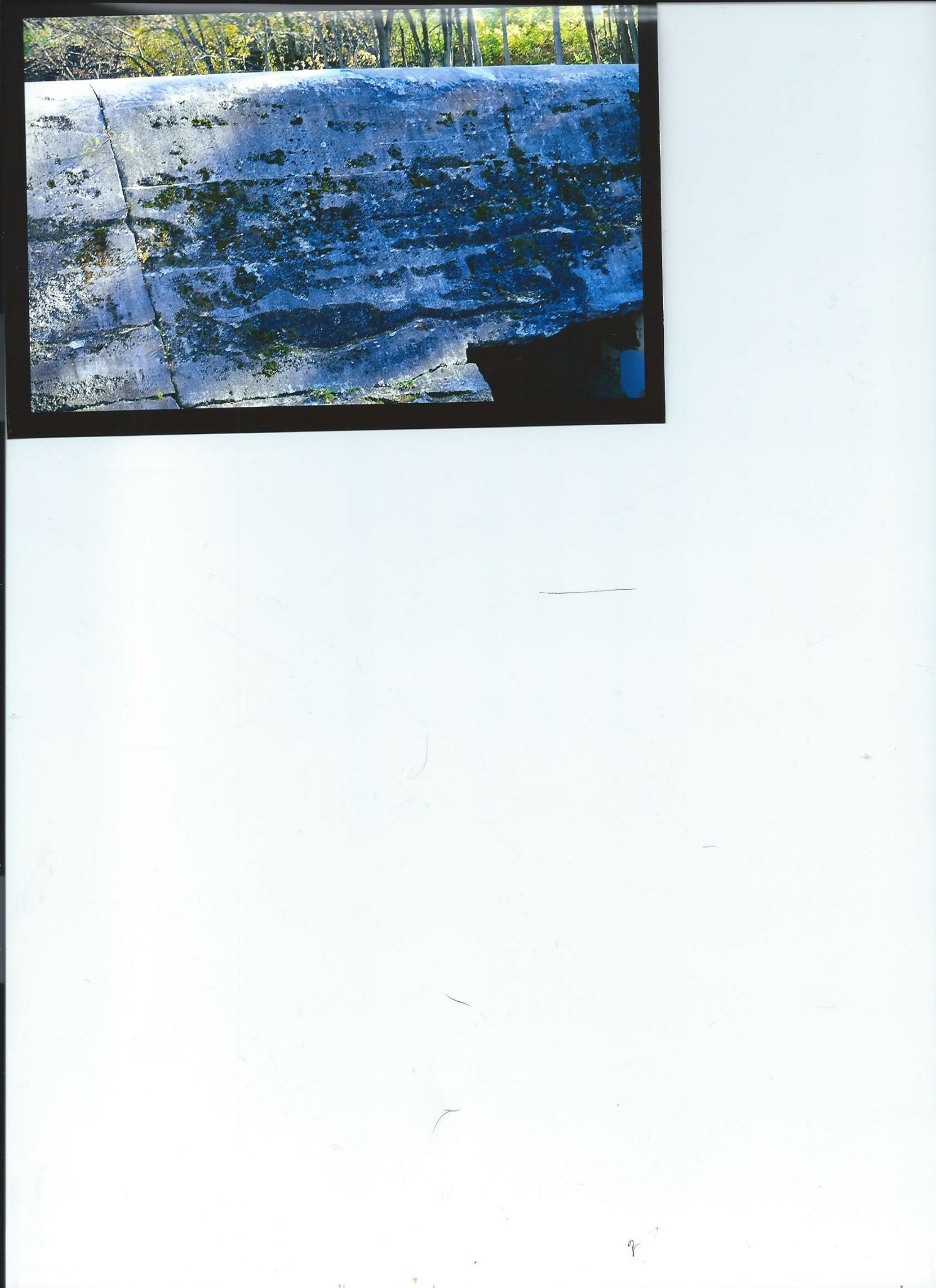
Dam

Limestone Cliffs Dellwood Park
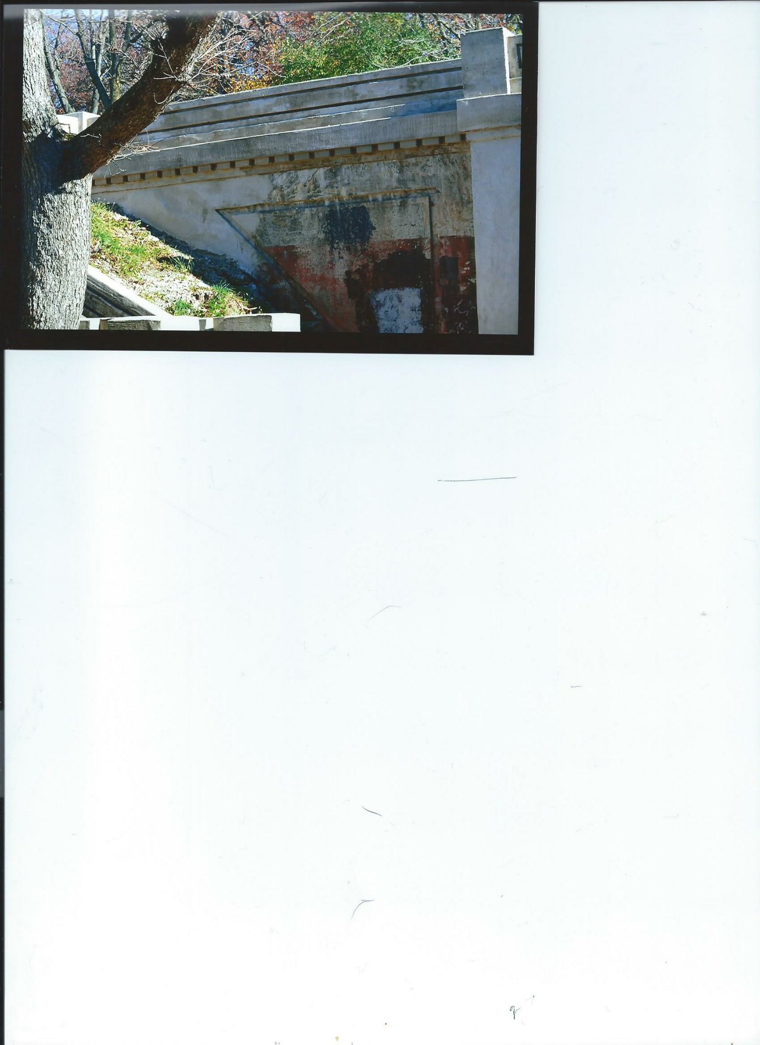
Dellwood Park
Dellwood Park

Dellwood Park
The Park became a great success. Thousands of people attended on week ends.
It was in operation for about 30 years. It was eventually abandoned. The boat house burned down in the late 1930’s. The dam and other structures remain.
Additional photos from 5/2017
Dam Dellwood Park
Dam Dellwood Park
Dam Dellwood Park
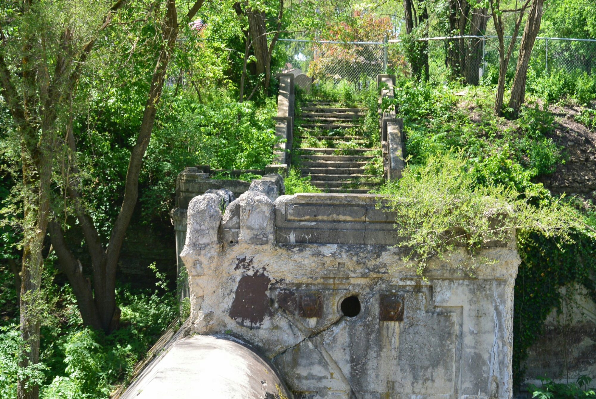
Dam Dellwood Park
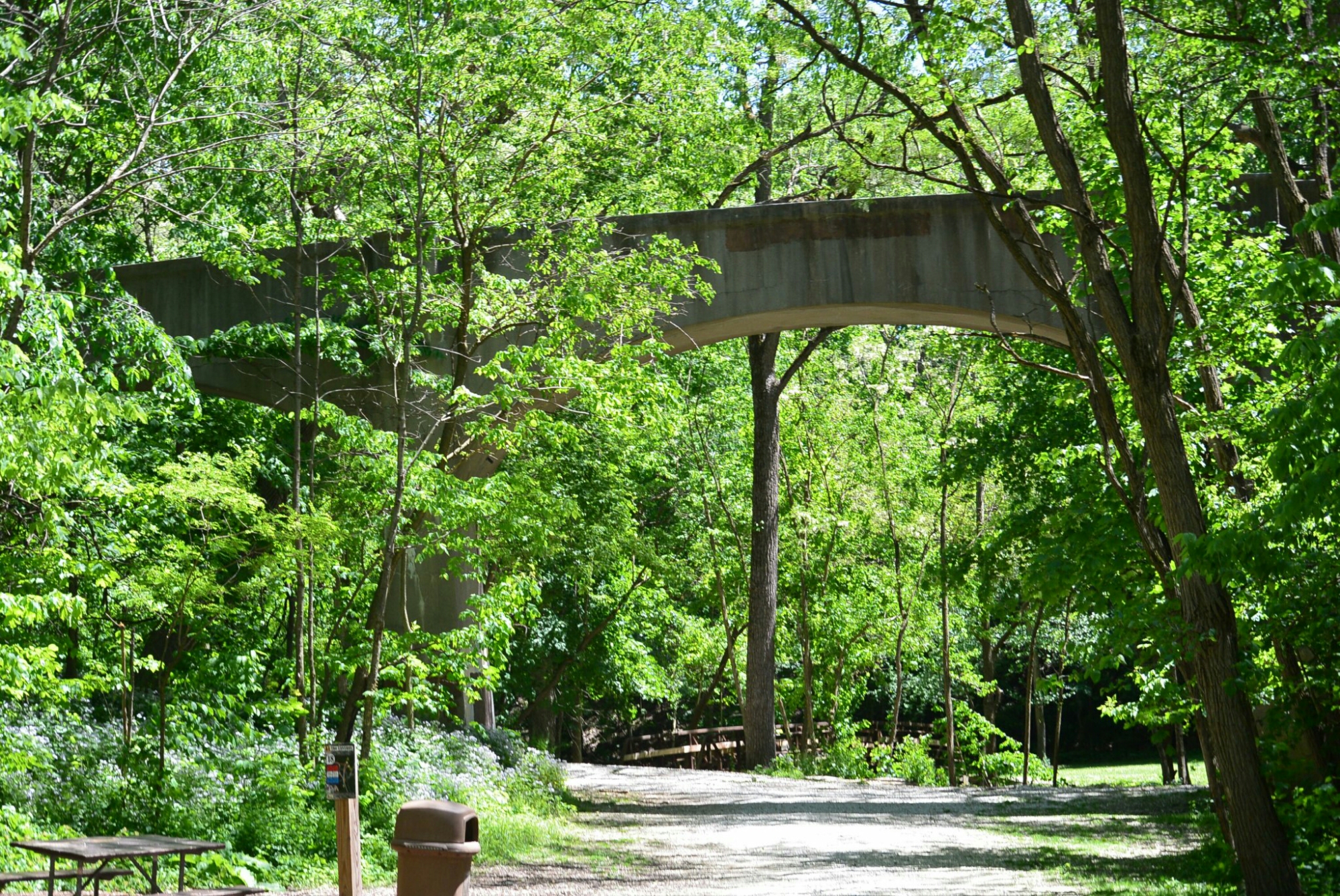
Unknown Bridge Dellwood Park
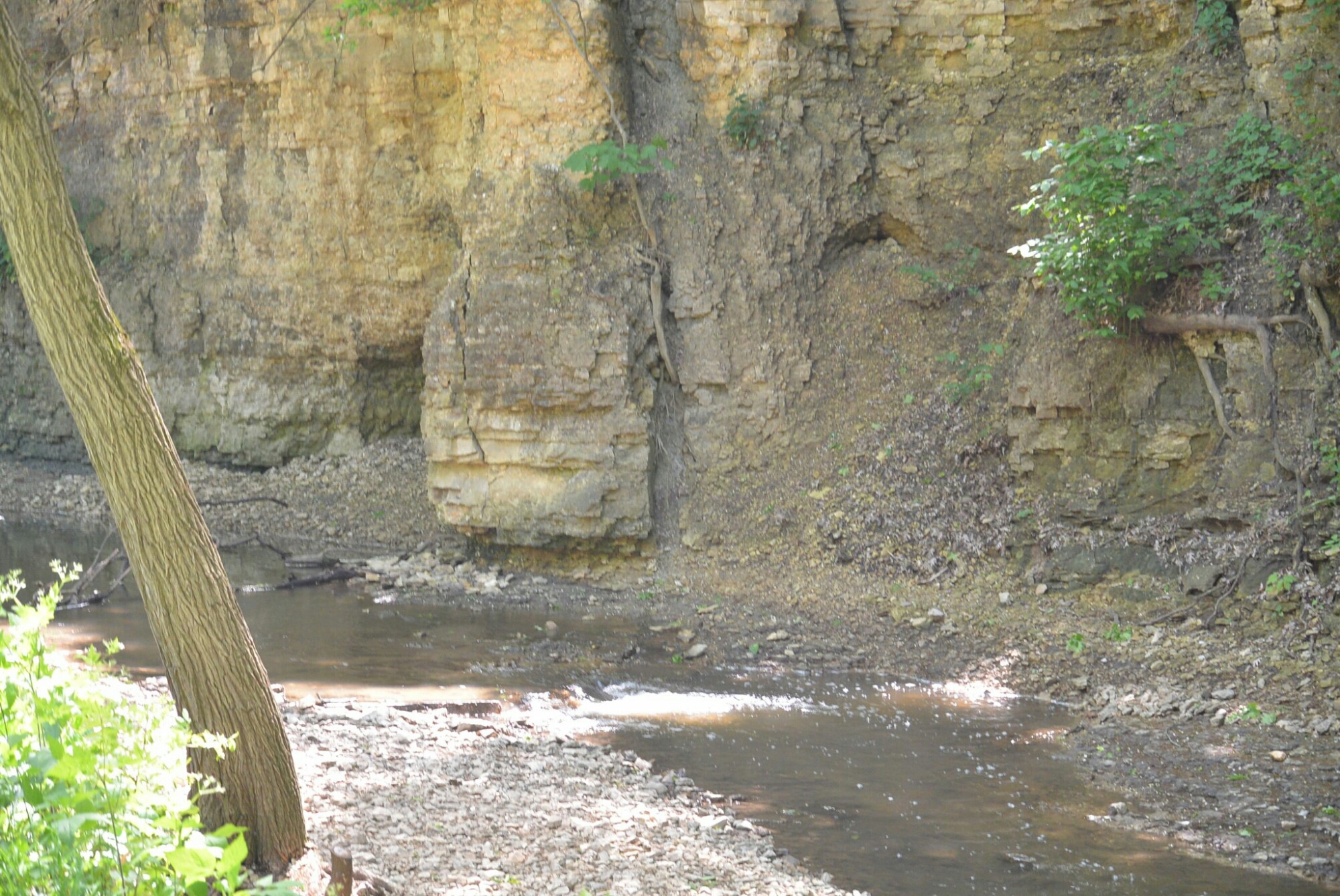
Limestone Bluff Dellwood Park
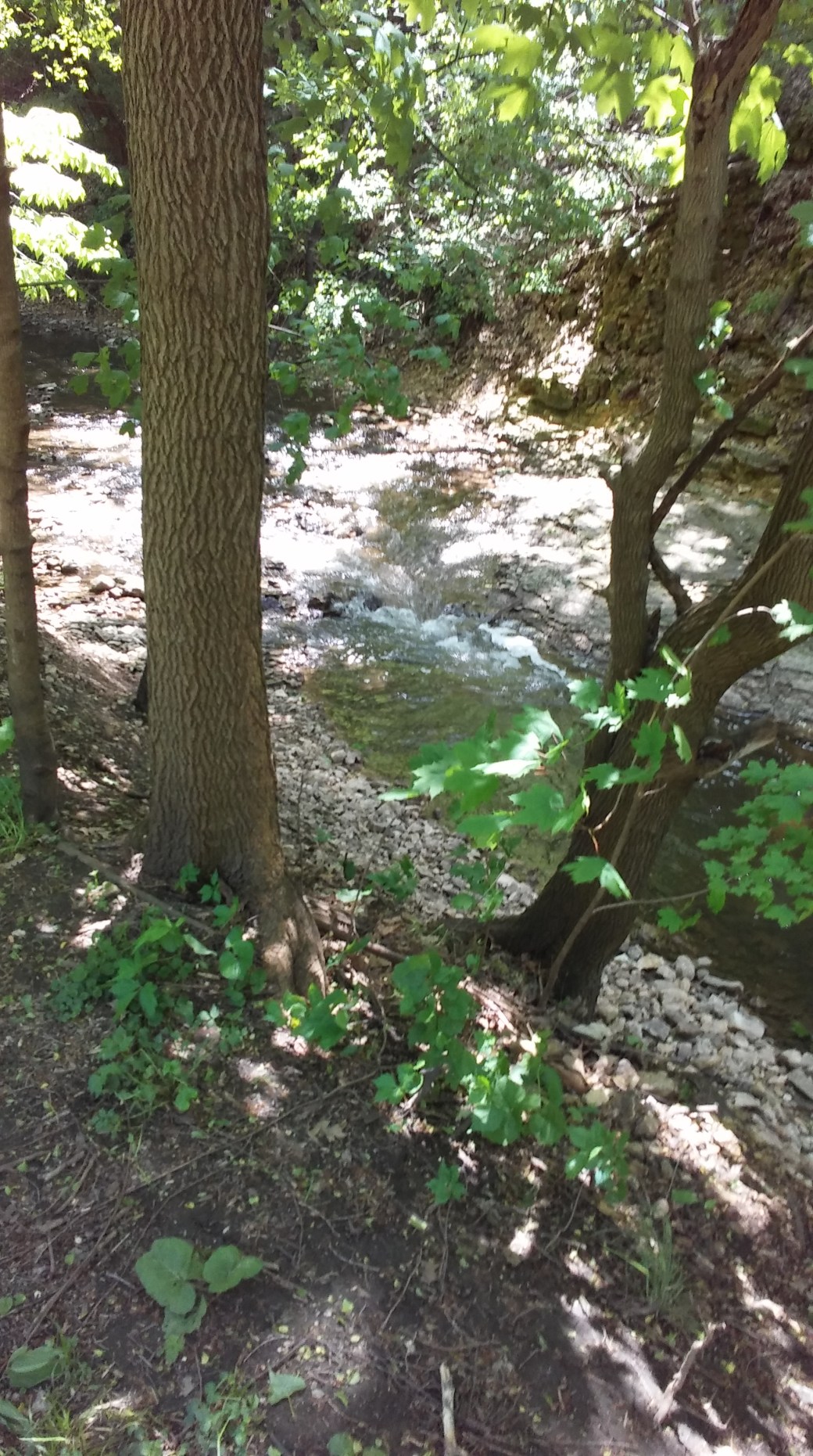
Dellwoood Park
Although not directly located on the Illinois Michigan Canal, Dayton was connected to it by the Fox River Feeder Canal.
Dayton is a small town north of Ottawa on the Fox River. In the 1800’s,it was quite an active community. It was the site of the first flour mill in the county. It was also the site of the first woolen mill run by water in the state of Illinois. It also had a tannery, saw mill, wagon shop, and a chair factory.
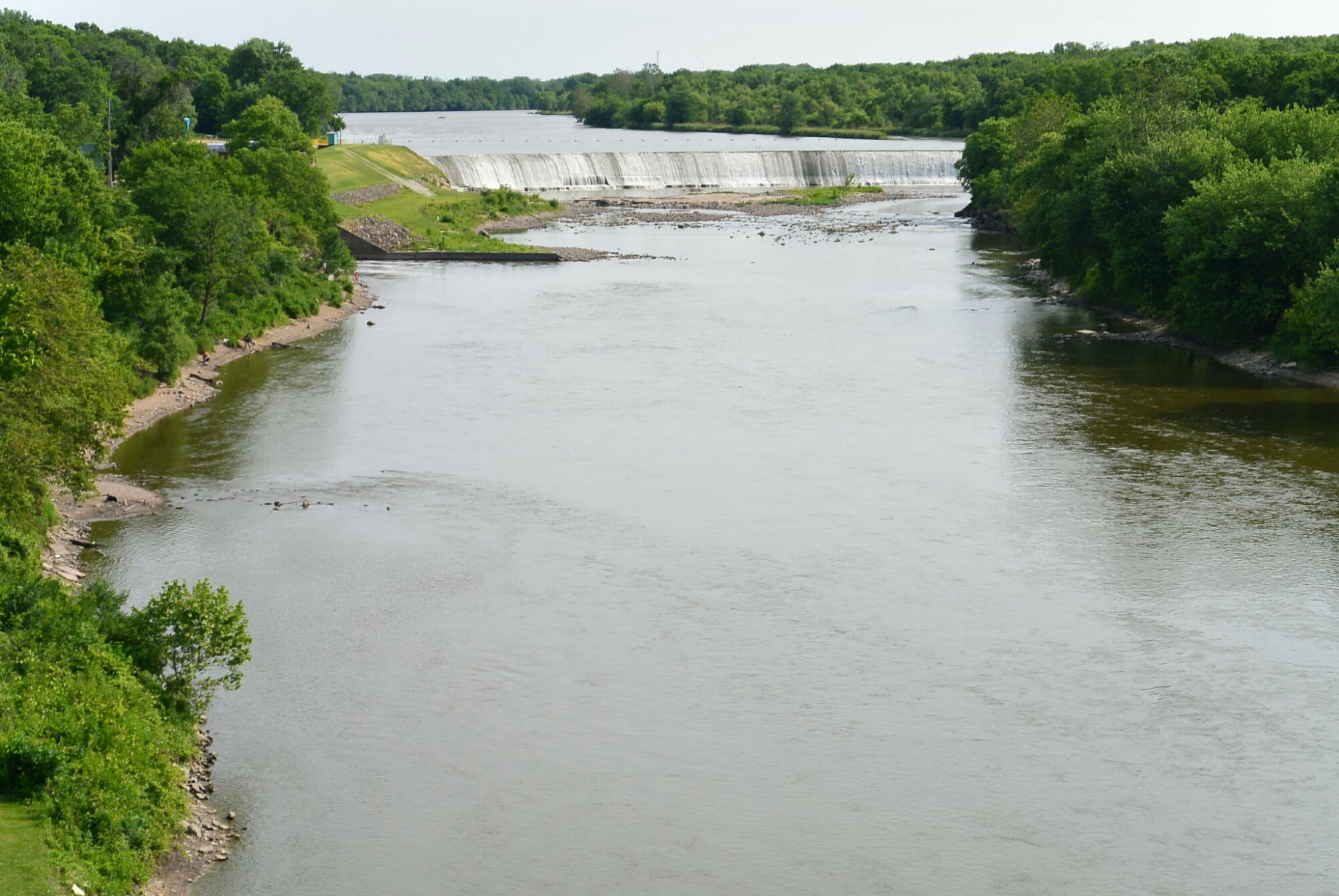
Near Dayton, a dam was built on the Fox River. It’s purpose was to force water into a feeder canal which intersected the Illinois Michigan Canal in Ottawa. The dam was 8 feet high and 470 feet long. It was constructed of 2 inch wood planks forming a crib filled with stones and gravel. The dam was subjected to the vagaries of the weather. It ultimately was completely destroyed in 1904. It was never rebuilt.
At the entrance of the feeder, there was a guard lock. It’s purpose was to regulate the water level. In this same area, there was a lock keeper’s house. The feeder canal was 4 feet deep and 40 feet wide. It was completed in the early 1840’s.
In 1925, a dam and power house were built on the Fox River at Dayton. This was a business for the production and sale of electrical power. The company name was North Counties Hydro-Electric Power. This facility operated continuously until 1996. It was out of commission until 1998. It resumed operations in 1998. It has functioned since. It was sold to North AmericanHydro, Inc.
The town of Dayton never prospered like adjacent Ottawa. The population was 553 in 2016
D
Dayton Hydroelectric Dam
 raddoc1947